Port an Eag-uillt

Bay in Argyllshire

Scotland

Port an Eag-uillt

The west coast of Scarba Creag an Eas, a dry waterfall and scree
The west coast of Scarba Credit: M J Richardson

Port an Eag-uillt, located in Argyllshire, Scotland, is a picturesque bay nestled along the western coast of the country. With its stunning natural beauty and rich history, it attracts visitors from all around the world.

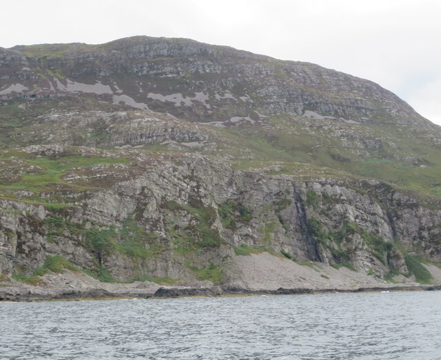
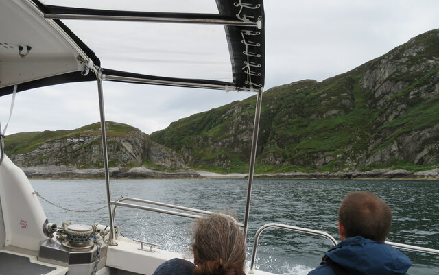
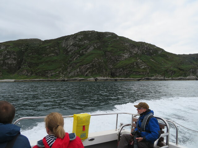
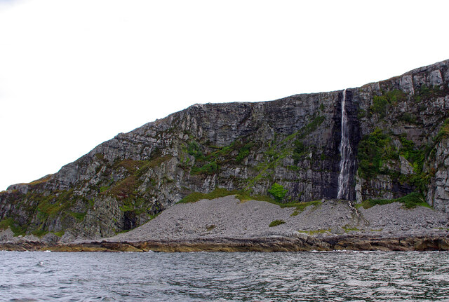
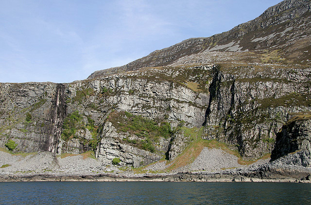
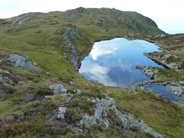
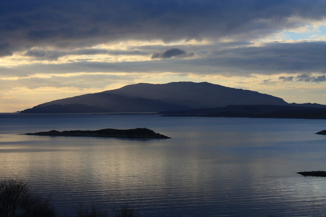
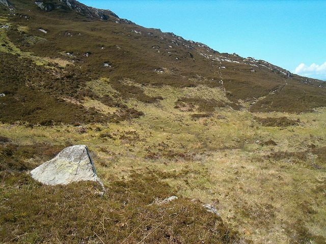
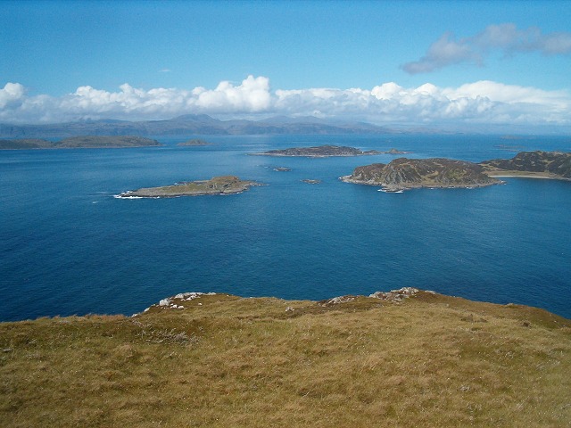
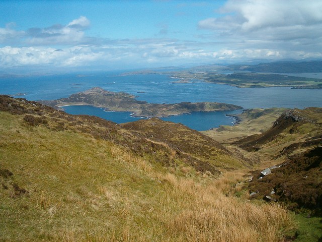
The bay is characterized by its pristine sandy beaches, clear turquoise waters, and rugged cliffs. It offers breathtaking views of the surrounding landscape, including rolling green hills and majestic mountains. The bay is also home to a diverse range of wildlife, including seals, dolphins, and various bird species, making it a haven for nature enthusiasts and birdwatchers.

Port an Eag-uillt has a rich historical background dating back centuries. It was once a thriving fishing village, and remnants of its maritime heritage can still be seen today. The bay is dotted with traditional fishing huts and small harbors, which add to its charm and authenticity.

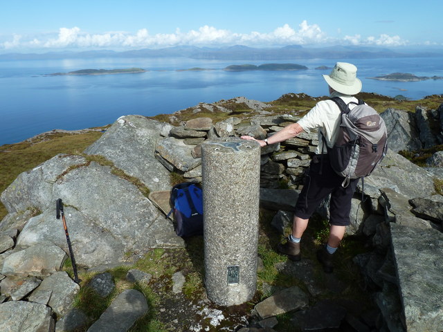
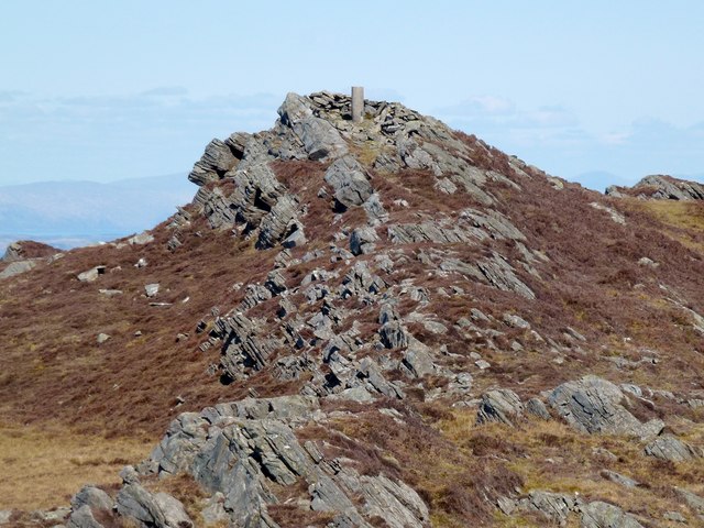
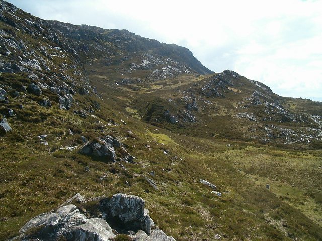
Visitors to Port an Eag-uillt can engage in various activities. The bay is perfect for swimming, sunbathing, and beachcombing. Adventurous souls can explore the surrounding cliffs and hills through hiking and walking trails, offering stunning panoramic views of the bay and beyond. Fishing enthusiasts can try their luck in the abundant waters, hoping to catch a variety of fish species.

In summary, Port an Eag-uillt is a breathtaking bay in Argyllshire, Scotland, offering a perfect blend of natural beauty and historical significance. Whether visitors seek relaxation on the beach or exploration of the surrounding landscape, this bay has something for everyone.

If you have any feedback on the listing, please let us know in the comments section below.

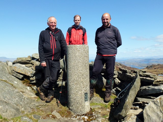
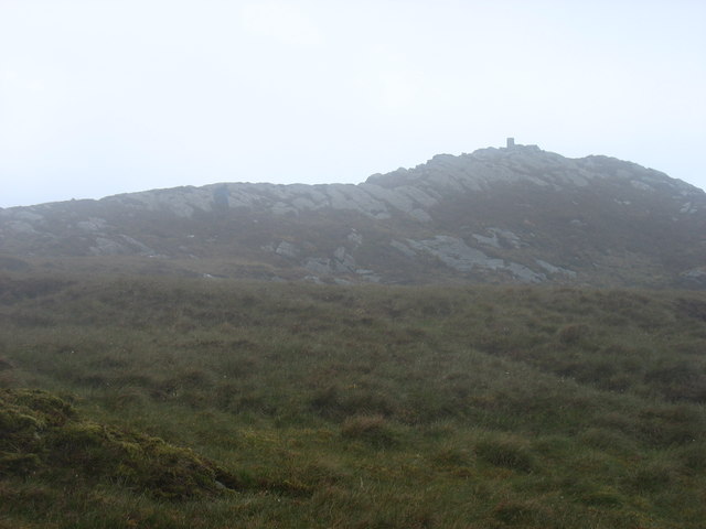
Port an Eag-uillt Images

Images are sourced within 2km of 56.193641/-5.7126556 or Grid Reference NM6906. Thanks to Geograph Open Source API. All images are credited.

The west coast of Scarba Creag an Eas, a dry waterfall and scree
The west coast of Scarba
Creag an Eas, a dry waterfall and scree
Port an Eag-uillt, Scarba One of the few places to land on Scarba.
Port an Eag-uillt, Scarba
One of the few places to land on Scarba.
The north coast of Scarba Port an Eag-Uillt is just visible on the left.
The north coast of Scarba
Port an Eag-Uillt is just visible on the left.
Creag an Eas The top of the waterfall is 100m above sea level and is on the gridline.
Creag an Eas
The top of the waterfall is 100m above sea level and is on the gridline.
Scarba - the northeast shore A scrub of Willows, Bracken and rough grassland. There were two White-tailed Eagles and their nest in the RH conifer.
Scarba - the northeast shore
A scrub of Willows, Bracken and rough grassland. There were two White-tailed Eagles and their nest in the RH conifer.
The west coast of Scarba This rocky coastline at Creag an Eas was viewed from a small boat at Port nan Urrachann. The stained rock face on the far left is the location of a waterfall that has dried up due to a lengthy spell of dry weather.
The west coast of Scarba
This rocky coastline at Creag an Eas was viewed from a small boat at Port nan Urrachann. The stained rock face on the far left is the location of a waterfall that has dried up due to a lengthy spell of dry weather.
Cruach Scarba Summit Looking towards the Garvellachs and Mull
Cruach Scarba Summit
Looking towards the Garvellachs and Mull
Lochan north of Cruach Scarba
Cruach Scarba Summit View GR8 day cool and sunny via fast narrow RIB from Crinan with 17 on RHB trip organised by Alison Fox. First time Martin Richardson, Jim Bloomer & Michael Earnshaw have been photographed on a summit together, the top 3 on Hill-bagging currently.
Cruach Scarba Summit View
GR8 day cool and sunny via fast narrow RIB from Crinan with 17 on RHB trip organised by Alison Fox. First time Martin Richardson, Jim Bloomer & Michael Earnshaw have been photographed on a summit together, the top 3 on Hill-bagging currently.
Cruach Scarba Hill-Bagging Top Trio GR8 day cool and sunny via fast narrow RIB from Crinan with 17 on RHB trip organised by Alison Fox. First time Martin Richardson, Jim Bloomer & Michael Earnshaw have been photographed on a summit together, the top 3 on Hill-bagging currently.
Cruach Scarba Hill-Bagging Top Trio
GR8 day cool and sunny via fast narrow RIB from Crinan with 17 on RHB trip organised by Alison Fox. First time Martin Richardson, Jim Bloomer & Michael Earnshaw have been photographed on a summit together, the top 3 on Hill-bagging currently.
Island of Scarba The island of Scarba taken from above Lunga House near Craobh Haven.
Island of Scarba
The island of Scarba taken from above Lunga House near Craobh Haven.
The summit of Cruach Scarba, 449m An otherwise pleasant day deteriorated into cloud and rain whilst I was near the summit, hence this rather misty view. Such conditions, unfortunately, seem all too common on Scarba!
The summit of Cruach Scarba, 449m
An otherwise pleasant day deteriorated into cloud and rain whilst I was near the summit, hence this rather misty view. Such conditions, unfortunately, seem all too common on Scarba!
Summit of Cruach Scarba Highpoint of this rugged, mostly quartzite island. A bit of a bagger's party going on, with the trigpoint making a good bar.
Summit of Cruach Scarba
Highpoint of this rugged, mostly quartzite island. A bit of a bagger's party going on, with the trigpoint making a good bar.
North west slopes of Scarba Looking south-west from the end of the old pony track that runs around the north of the island.
North west slopes of Scarba
Looking south-west from the end of the old pony track that runs around the north of the island.
Pony track View taken from a point close to the ford marked on the map.
Pony track
View taken from a point close to the ford marked on the map.
View north from Scarba Looking out over the islands (from left to right) - The Garvellachs, Guirasdeal (left mid-ground), Eilean Dubh Mor and Eilean Dubh Beag (middle distance) and Lunga on the right. The Isle of Mull lies in the distance with cloud lifting from Ben More.
View north from Scarba
Looking out over the islands (from left to right) - The Garvellachs, Guirasdeal (left mid-ground), Eilean Dubh Mor and Eilean Dubh Beag (middle distance) and Lunga on the right. The Isle of Mull lies in the distance with cloud lifting from Ben More.
Descending from the summit of Scarba A route taken down a stream valley running north-north-east. The islands of Lunga and Luing in the distance.
Descending from the summit of Scarba
A route taken down a stream valley running north-north-east. The islands of Lunga and Luing in the distance.
Eroded peat Showing the depth of the peat deposit just to the north east of the summit of Scarba.
Eroded peat
Showing the depth of the peat deposit just to the north east of the summit of Scarba.
Show me another place!

Port an Eag-uillt is located at Grid Ref: NM6906 (Lat: 56.193641, Lng: -5.7126556)

Unitary Authority: Argyll and Bute

Police Authority: Argyll and West Dunbartonshire

What 3 Words

///sidelined.retain.diner. Near Lochbuie, Argyll & Bute

Nearby Locations

Port an Eag-uillt

Related Wikis

Scarba

Scarba (Scottish Gaelic: Sgarba) is an island, in Argyll and Bute, Scotland, just north of the much larger island of Jura. The island has not been permanently...

Lunga, Firth of Lorn

Lunga is one of the Slate Islands in the Firth of Lorn in Argyll and Bute, Scotland. The "Grey Dog" tidal race, which runs in the sea channel to the south...

Scarba, Lunga and the Garvellachs National Scenic Area

Scarba, Lunga and the Garvellachs is the name of one of the 40 national scenic areas of Scotland. The designated area covers the islands of Scarba, Lunga...

Eilean Dubh Mòr

Eilean Dubh Mòr (Scottish Gaelic: big black island) is an uninhabited island in the Inner Hebrides of Scotland. It lies at the mouth of the Firth of Lorn...

Nearby Amenities

Located within 500m of 56.193641,-5.7126556
Uamp nan Calman
Natural: cave_entrance
Source: OS_OpenData_StreetView
Lat/Long: 56.1917362/-5.7187465
Port an Eag-uillt
Natural: bay
Source: OS_OpenData_StreetView
Lat/Long: 56.1935035/-5.7110957
The data included in this document is from www.openstreetmap.org. The data is made available under ODbL.

Have you been to Port an Eag-uillt?

Leave your review of Port an Eag-uillt below (or comments, questions and feedback).