Little Raveley
Settlement in Huntingdonshire Huntingdonshire
England
Little Raveley

Little Raveley is a small village located in the district of Huntingdonshire, Cambridgeshire, England. Situated approximately 5 miles west of Huntingdon, the village is surrounded by picturesque countryside and offers a tranquil setting for its residents.
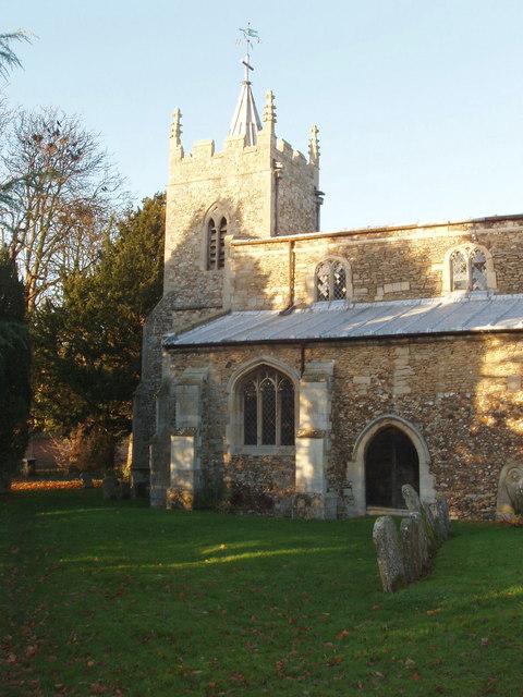
The village of Little Raveley is known for its charming character and traditional architecture. The majority of the houses in the village are built using local stone, giving them a distinct rustic appeal. The village is also home to a 12th-century church, St. James's Church, which adds to its historical charm.
With a population of just over 100 residents, Little Raveley maintains a close-knit community atmosphere. The village has a strong sense of community spirit, with regular events and activities organized by local residents. These include village fairs, summer fetes, and other social gatherings that help foster a sense of belonging among the villagers.
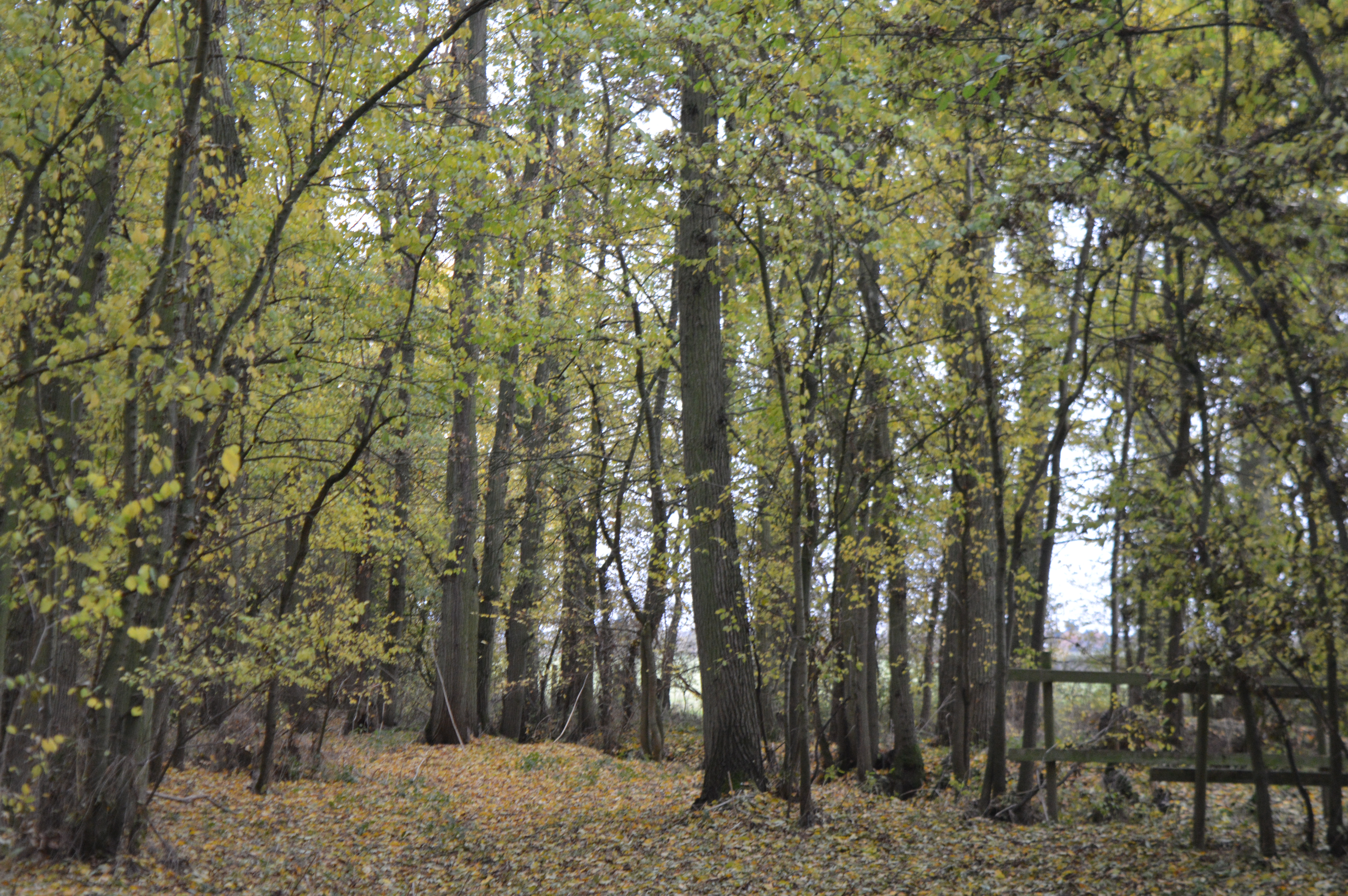
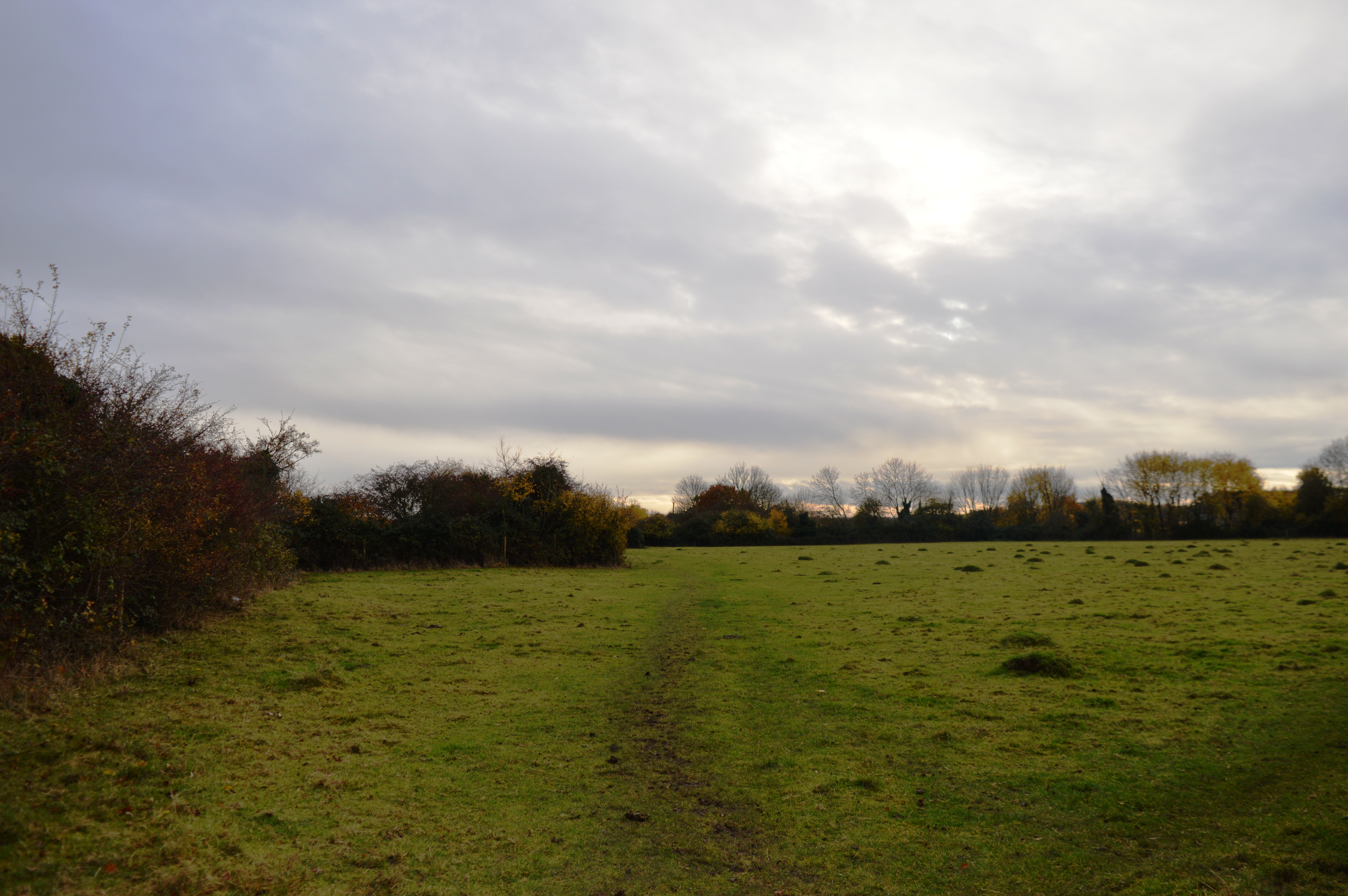
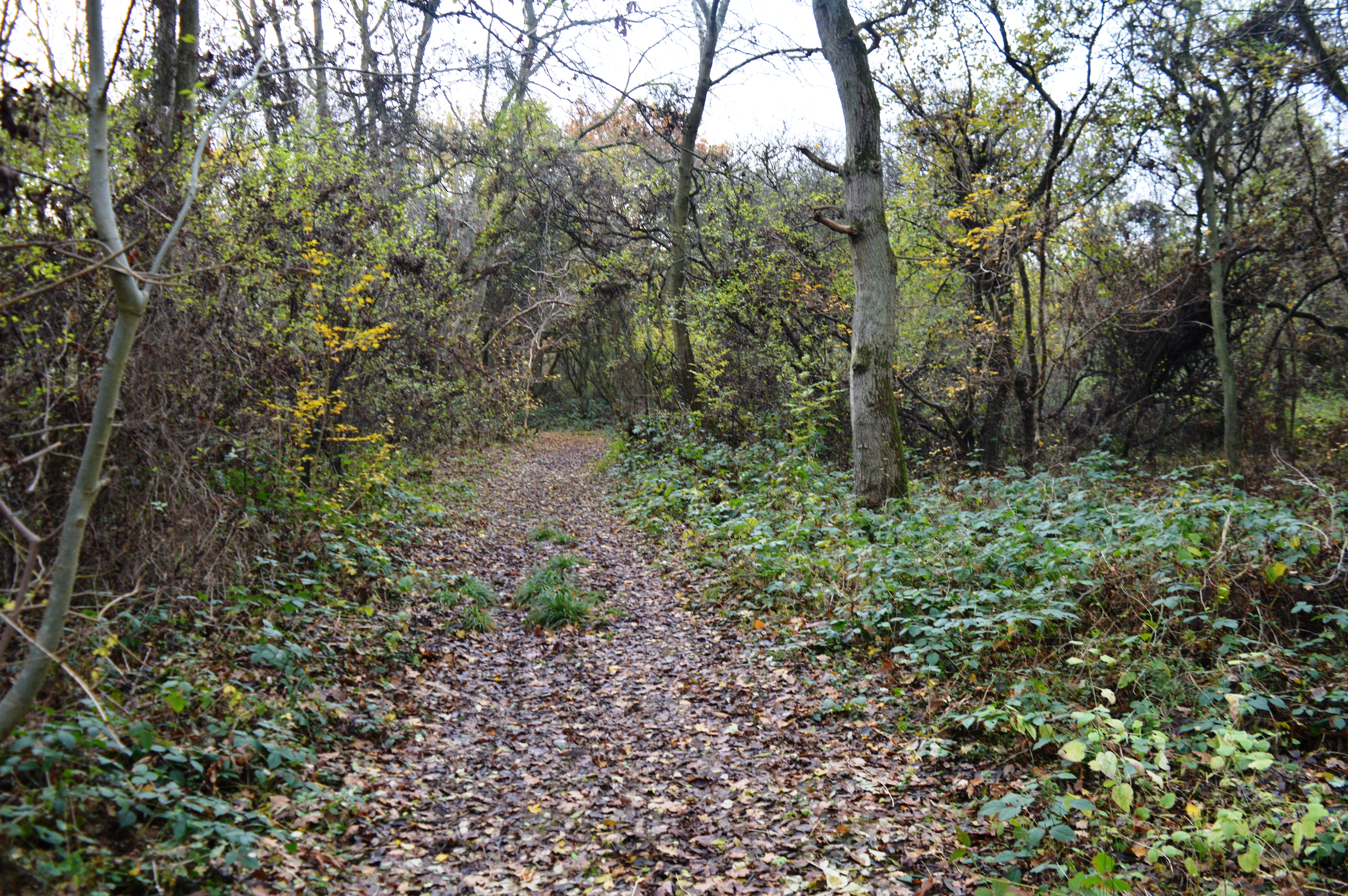
The surrounding countryside offers ample opportunities for outdoor activities. Little Raveley is surrounded by rolling hills, meadows, and woodlands, making it an ideal location for hiking, cycling, and horse riding. The village is also close to several nature reserves and country parks, providing further opportunities for exploring the local wildlife and enjoying the natural beauty of the area.
Despite its rural setting, Little Raveley benefits from good transport links. The A1 road is easily accessible, providing convenient connections to nearby towns and cities. Huntingdon, with its range of amenities including shops, schools, and healthcare facilities, is just a short drive away.
In summary, Little Raveley is a charming and idyllic village nestled in the heart of Huntingdonshire. With its traditional buildings, strong community spirit, and beautiful surroundings, it offers a peaceful and picturesque place to call home.
If you have any feedback on the listing, please let us know in the comments section below.
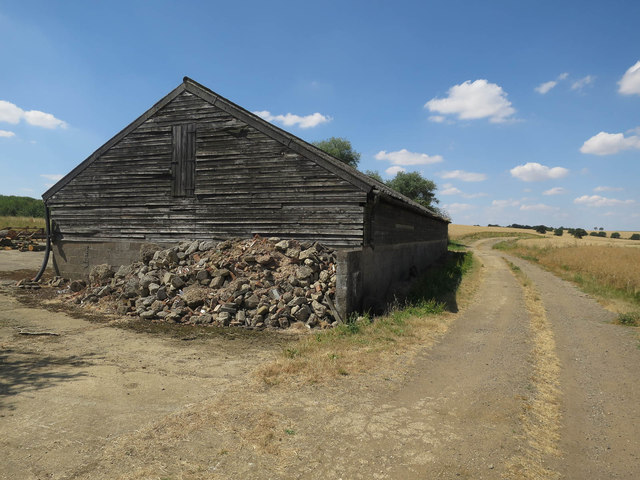
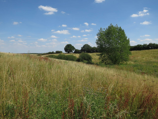
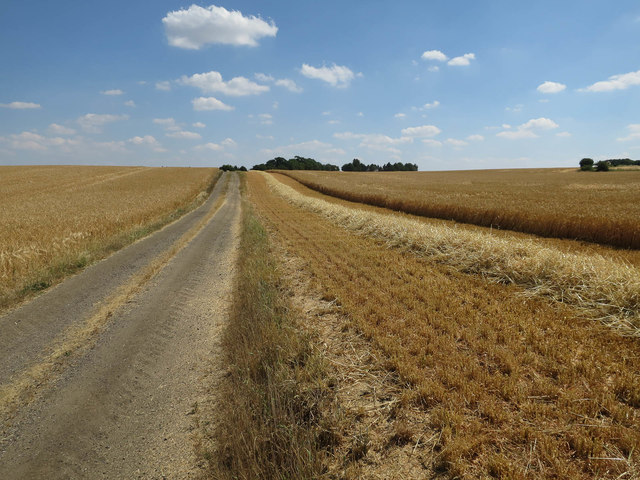
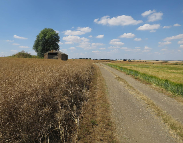
Little Raveley Images
Images are sourced within 2km of 52.402693/-0.156675 or Grid Reference TL2579. Thanks to Geograph Open Source API. All images are credited.


Little Raveley is located at Grid Ref: TL2579 (Lat: 52.402693, Lng: -0.156675)
Administrative County: Cambridgeshire
District: Huntingdonshire
Police Authority: Cambridgeshire
What 3 Words
///muted.dots.reinforce. Near Warboys, Cambridgeshire
Nearby Locations
Related Wikis

The Raveleys
Great Raveley and Little Raveley are villages near Upwood south of Ramsey. They are located in Huntingdonshire (now part of Cambridgeshire), England, 3½...
Raveley Wood
Raveley Wood is a 5.6-hectare (14-acre) nature reserve south-west of Upwood in Cambridgeshire. It is managed by the Wildlife Trust for Bedfordshire, Cambridgeshire...

Abbots Ripton
Abbots Ripton is a village and civil parish in Cambridgeshire, England. Abbots Ripton is situated within Huntingdonshire which is a non-metropolitan district...
Secret Garden Party
The Secret Garden Party, often colloquially shortened to the SGP, is an independent arts and music festival which takes place in Abbots Ripton near Huntingdon...
Upwood Meadows
Upwood Meadows is a 6 hectare biological Site of Special Scientific Interest west of Upwood in Cambridgeshire. It is also a National Nature Reserve and...
Lady's Wood
Lady's Wood is a 7.1-hectare (18-acre) nature reserve west of Upwood in Cambridgeshire. It is managed by the Wildlife Trust for Bedfordshire, Cambridgeshire...
Upwood
Upwood is a village and former civil parish, now in the parish of Upwood and the Raveleys, in the non-metropolitan district and historic county of Huntingdonshire...
Wistow, Cambridgeshire
Wistow is a village and civil parish in Cambridgeshire, England. Wistow lies approximately 6 miles (10 km) north-east of Huntingdon, near Warboys. Wistow...
Nearby Amenities
Located within 500m of 52.402693,-0.156675Have you been to Little Raveley?
Leave your review of Little Raveley below (or comments, questions and feedback).