Little Plumstead
Settlement in Norfolk Broadland
England
Little Plumstead
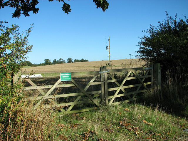
Little Plumstead is a small village located in the county of Norfolk, in the eastern part of England. Situated approximately seven miles east of Norwich, it is nestled in a rural setting surrounded by picturesque farmland and rolling countryside. The village falls within the Broadland local government district.
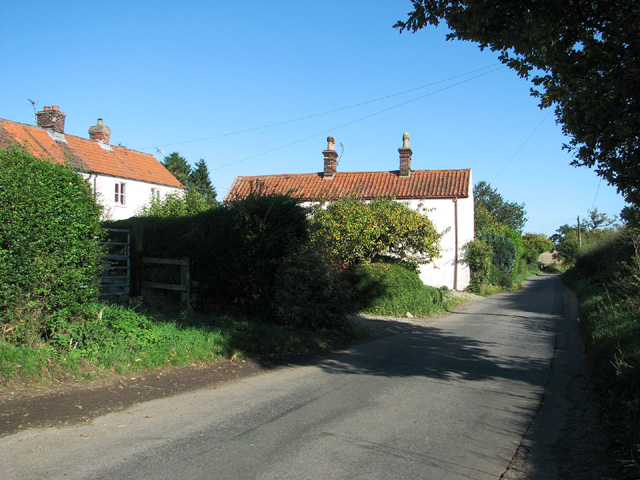
With a population of around 500 residents, Little Plumstead is a close-knit community known for its tranquil atmosphere and traditional village charm. The village features a mix of historical and modern buildings, including traditional cottages and more contemporary houses. The local church, St. Protus and St. Hyacinth, is a notable landmark, dating back to the 14th century and showcasing stunning architecture.
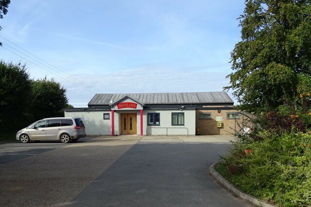
Despite its small size, Little Plumstead offers a range of amenities and services to its residents. These include a primary school, a village hall, a local pub, and a small convenience store. The village is well-connected to neighboring areas by road, with the A47 providing easy access to Norwich and other parts of Norfolk.
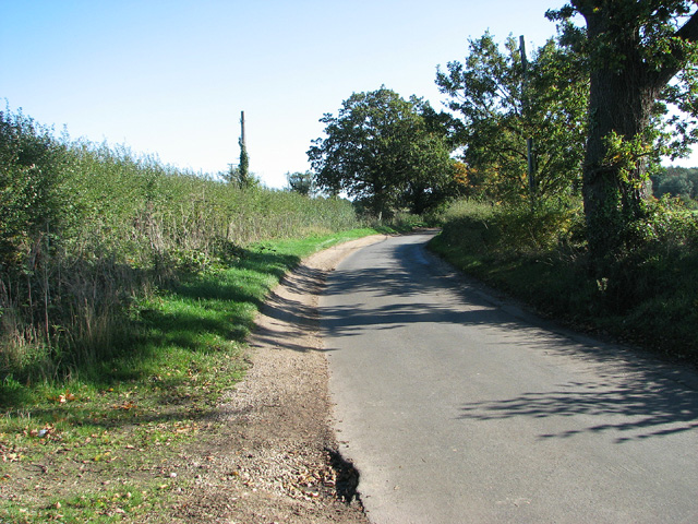
The surrounding countryside offers opportunities for outdoor activities such as walking, cycling, and birdwatching. The nearby Norfolk Broads, a network of rivers and lakes, provide additional recreational opportunities, including boating and fishing.
Overall, Little Plumstead offers a peaceful and idyllic setting for those seeking a rural lifestyle while still being within easy reach of the amenities and services of nearby towns and cities.
If you have any feedback on the listing, please let us know in the comments section below.
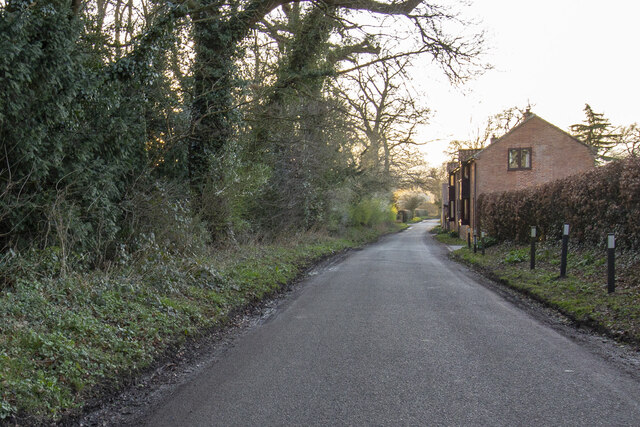
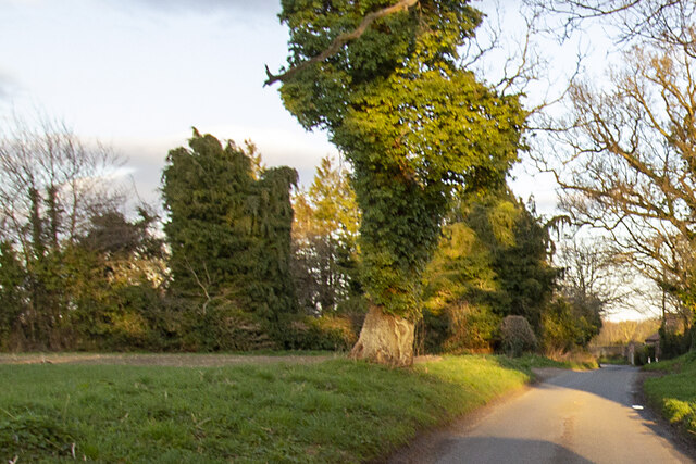
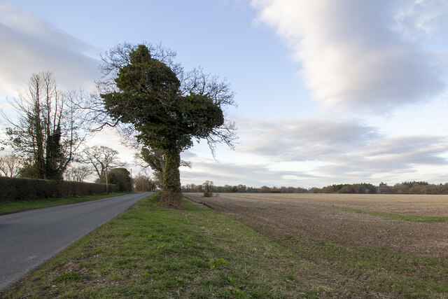
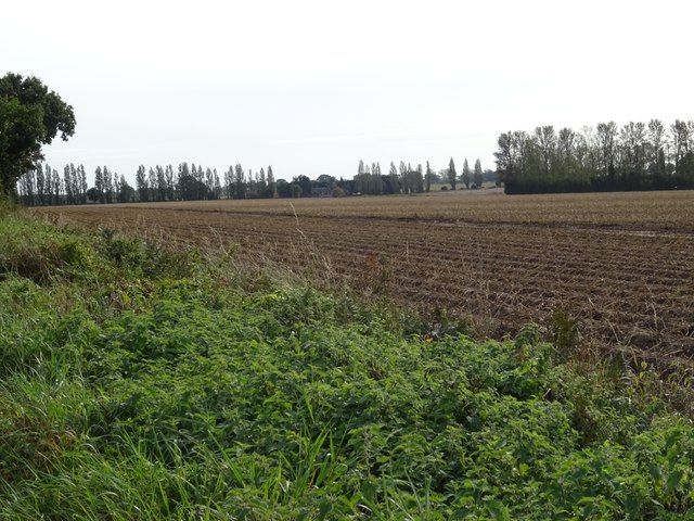
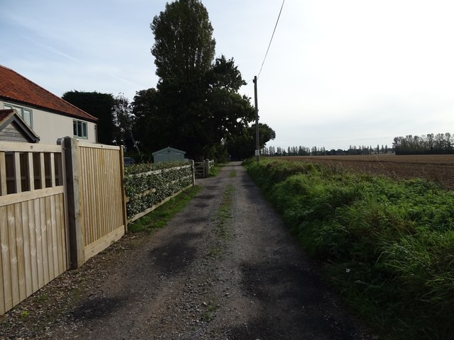
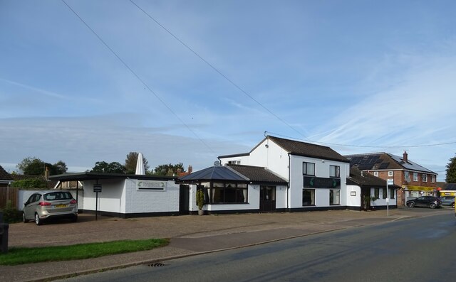
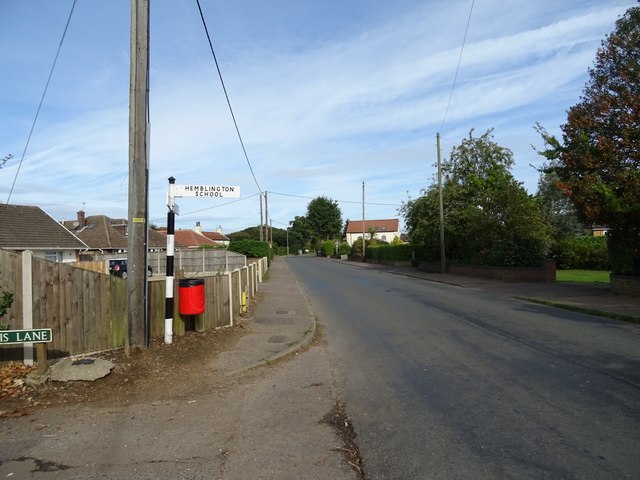
Little Plumstead Images
Images are sourced within 2km of 52.658613/1.4182484 or Grid Reference TG3112. Thanks to Geograph Open Source API. All images are credited.


Little Plumstead is located at Grid Ref: TG3112 (Lat: 52.658613, Lng: 1.4182484)
Administrative County: Norfolk
District: Broadland
Police Authority: Norfolk
What 3 Words
///shelving.community.engine. Near Rackheath, Norfolk
Nearby Locations
Related Wikis

Great and Little Plumstead
Great and Little Plumstead is a civil parish in the English county of Norfolk consisting of the villages of Great Plumstead, Little Plumstead and Thorpe...

Blofield Heath
Blofield Heath is a hamlet in the civil parish of Blofield, in the Broadland district, in the county of Norfolk, England. It is about 7 miles from Norwich...
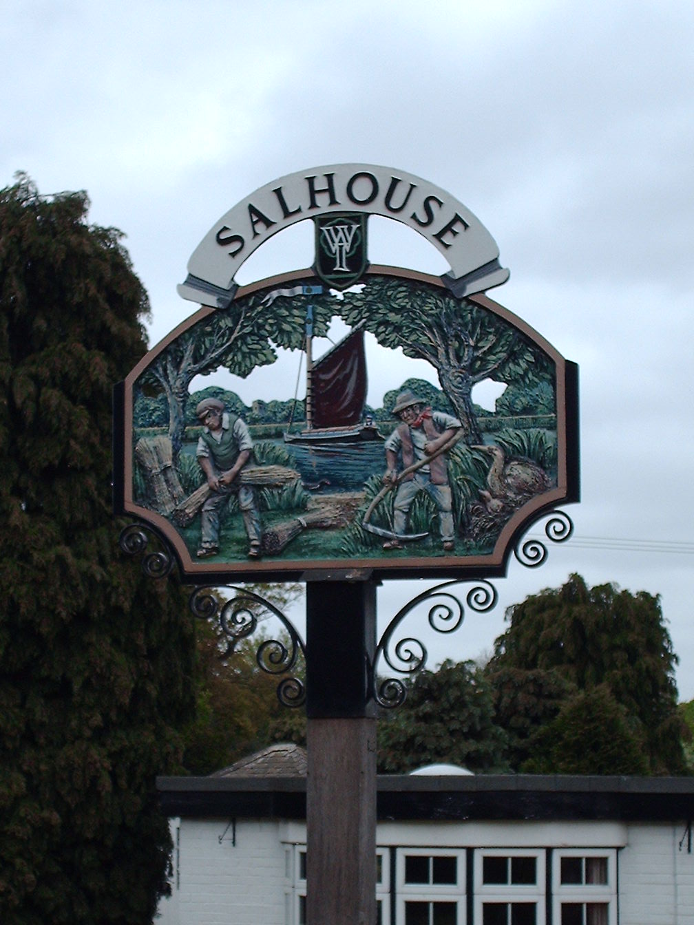
Salhouse
Salhouse is a village and civil parish in the Broads in the English county of Norfolk. It lies south of the River Bure and Salhouse Broad, about 10 kilometres...
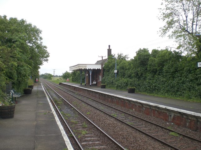
Salhouse railway station
Salhouse railway station is on the Bittern Line in Norfolk, England, serving the village of Salhouse. It is the next station along the line from Norwich...
Nearby Amenities
Located within 500m of 52.658613,1.4182484Have you been to Little Plumstead?
Leave your review of Little Plumstead below (or comments, questions and feedback).