Barcastle
Bay in Cornwall
England
Barcastle
Barcastle, Cornwall (Bay) is a picturesque coastal town located in the southwestern region of England, specifically in Cornwall County. Situated along the stunning coastline of the Celtic Sea, Barcastle offers visitors a unique blend of natural beauty, rich history, and a vibrant local community.
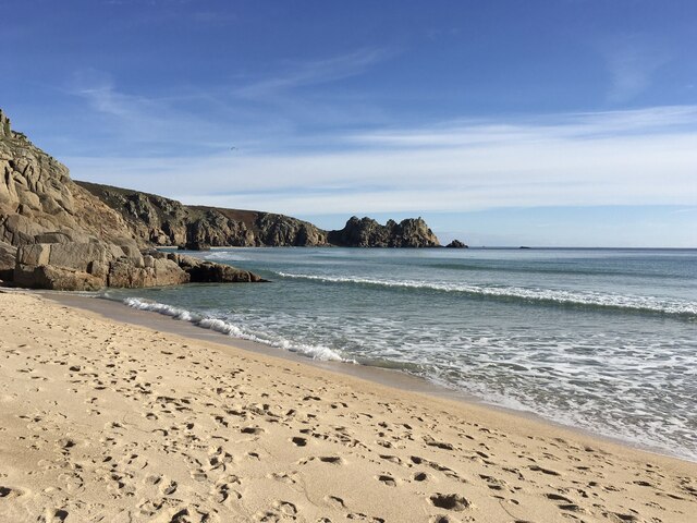
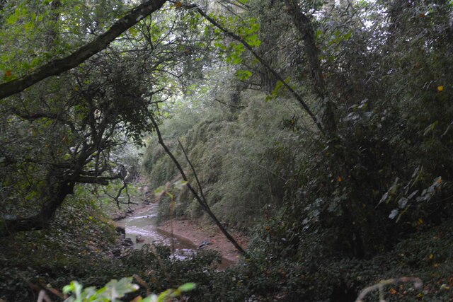
The town is renowned for its breathtaking sandy beaches, with clear turquoise waters that attract both tourists and locals alike. The bay is a haven for water sports enthusiasts, with activities such as surfing, paddleboarding, and sailing being popular choices among visitors. The surrounding cliffs and headlands provide excellent hiking trails, offering spectacular views of the bay and its surrounding landscapes.
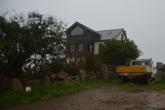
Steeped in history, Barcastle boasts a number of notable landmarks. The town's medieval castle, after which it is named, stands proudly on a hilltop overlooking the bay. Built in the 12th century, the castle offers a glimpse into the town's past and serves as a popular tourist attraction. Additionally, the town center features charming cobblestone streets lined with traditional Cornish cottages, quaint shops, and cozy cafes.
Barcastle is also known for its lively local community and warm hospitality. The town hosts various cultural events and festivals throughout the year, showcasing the region's unique traditions and heritage. Visitors can indulge in local cuisine, with fresh seafood being a specialty, and explore the vibrant art scene, with numerous galleries and studios dotting the town.
Overall, Barcastle, Cornwall (Bay) is a captivating destination that combines natural beauty, historical charm, and a welcoming community, making it a must-visit location for travelers seeking an authentic Cornish experience.
If you have any feedback on the listing, please let us know in the comments section below.
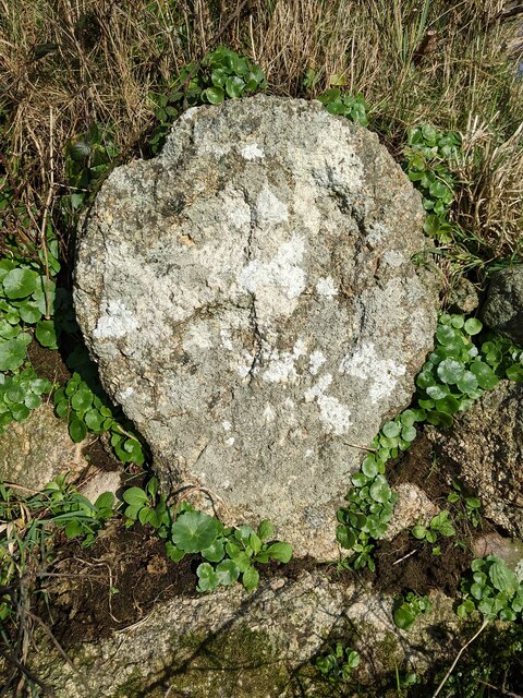
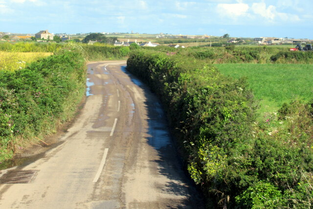
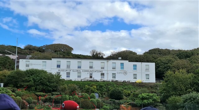
Barcastle Images
Images are sourced within 2km of 50.041561/-5.6374418 or Grid Reference SW3922. Thanks to Geograph Open Source API. All images are credited.

Barcastle is located at Grid Ref: SW3922 (Lat: 50.041561, Lng: -5.6374418)
Unitary Authority: Cornwall
Police Authority: Devon and Cornwall
What 3 Words
///cemented.kindness.slack. Near St Buryan, Cornwall
Nearby Locations
Related Wikis
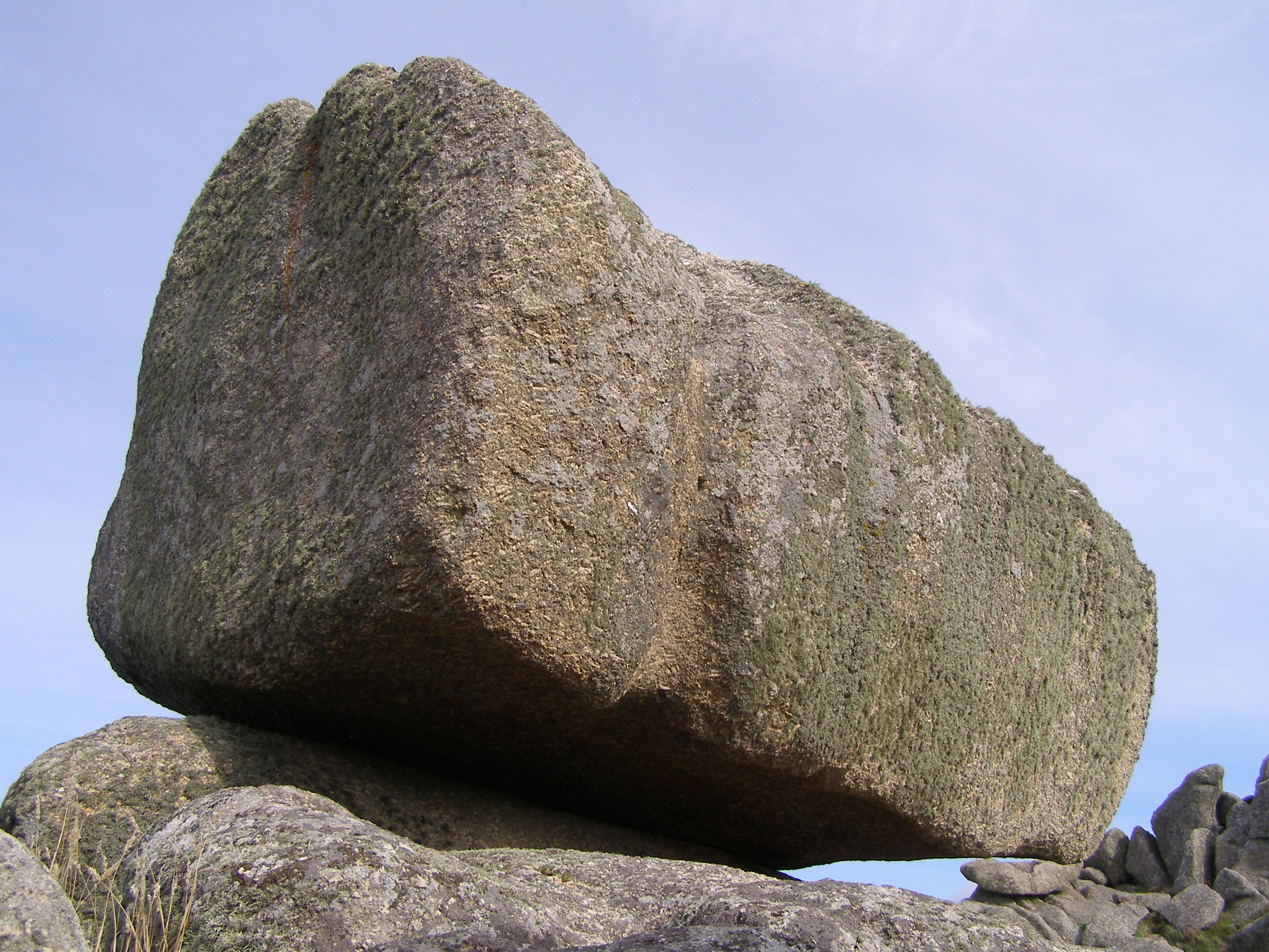
Logan Rock
The Logan Rock (Cornish: Men Omborth, meaning balanced stone) near the village of Treen in Cornwall, England, UK, is an example of a logan or rocking stone...

Cripp's Cove
Cripp's Cove is a cove on the coast of west Cornwall, England, UK. The inlet is situated on the Logan Rock peninsula one mile (1.6 km) east of Porthcurno...

Treryn Dinas
Treryn Dinas is a headland near Treen, on the Penwith peninsula between Penberth Cove and Porthcurno in Cornwall, England. It is a scheduled monument,...
Treen Cliff
Treen Cliff is a Site of Special Scientific Interest (SSSI) located on the Penwith Peninsula in Cornwall, England, UK, 6 miles (9.7 km) south-west of Penzance...

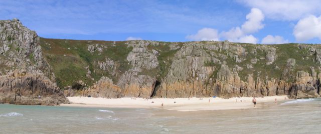
Pedn Vounder
Pedn Vounder (grid reference SW393223) is a tidal beach on the south coast of the Penwith peninsula in Cornwall, England. It is immediately to the west...

Treen, St Levan
Treen (Cornish: Tredhin) (grid reference SW3923) is a small village in the parish of St Levan, in the far west of Cornwall, England, United Kingdom. It...
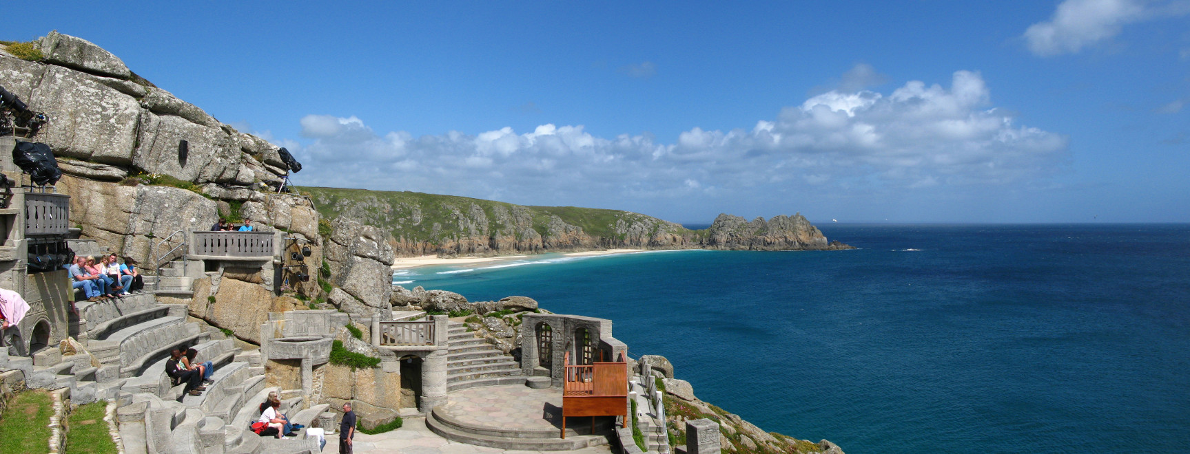
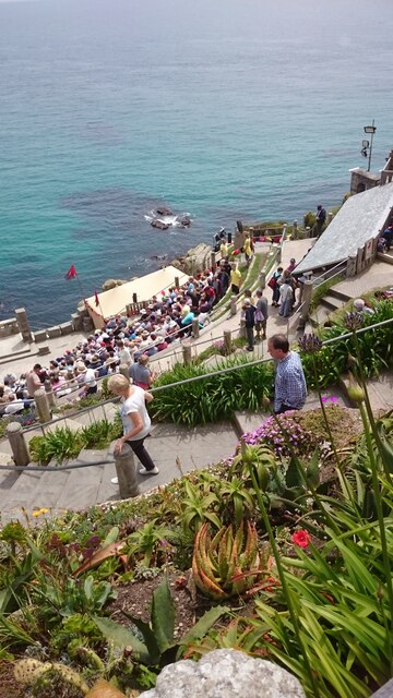
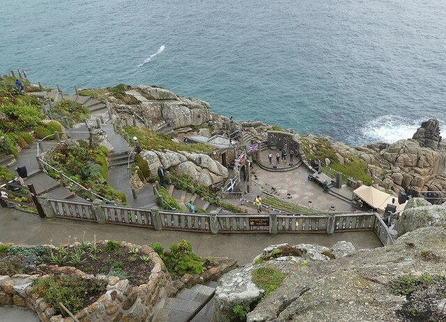
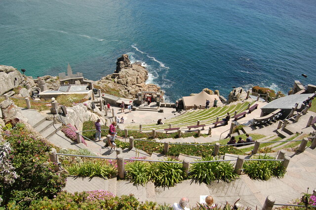
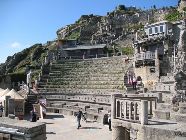
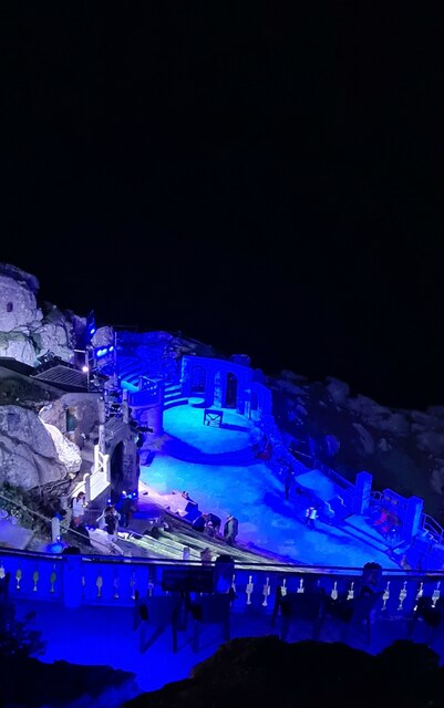
Minack Theatre
The Minack Theatre (Cornish: Gwaryjy Minack) is an open-air theatre, constructed above a gully with a rocky granite outcrop jutting into the sea. The theatre...

Penberth
Penberth (Cornish: Benbryhi) is a valley, coastal village and cove on the Penwith peninsula in Cornwall, England. It is approximately 7 miles (11 km) southwest...
Nearby Amenities
Located within 500m of 50.041561,-5.6374418Have you been to Barcastle?
Leave your review of Barcastle below (or comments, questions and feedback).