Alt Leathan
Bay in Argyllshire
Scotland
Alt Leathan
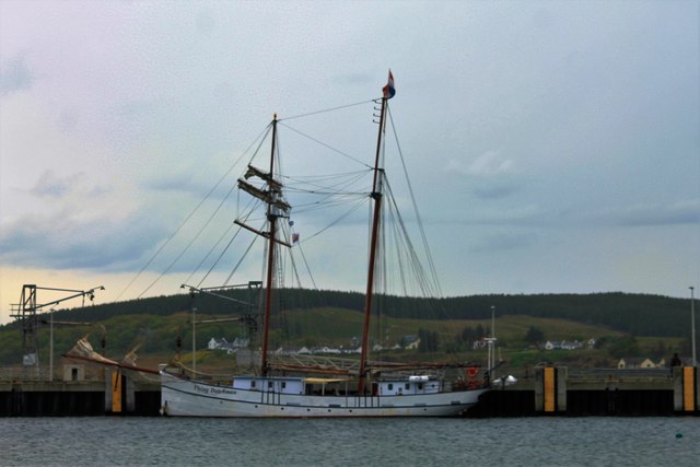
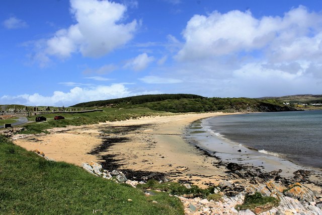
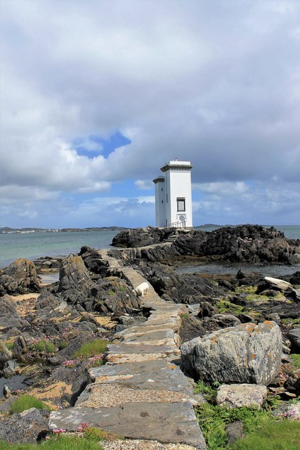
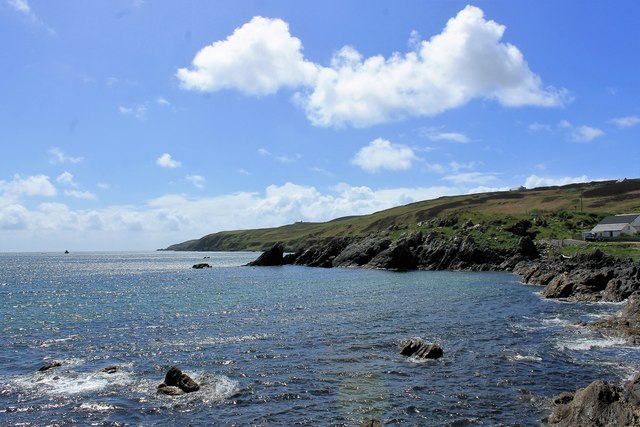
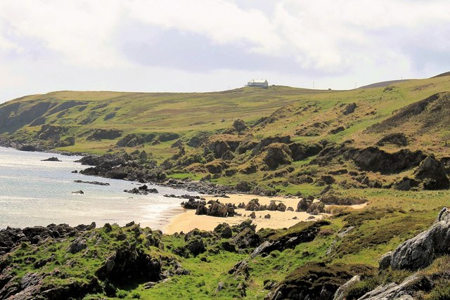
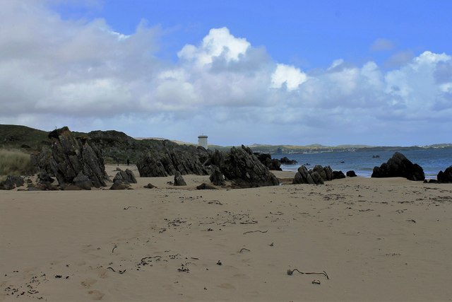
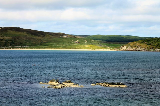
Alt Leathan is a picturesque bay located in Argyllshire, Scotland. Nestled along the western coast of the country, it offers breathtaking views of the surrounding landscape and is a popular destination for nature enthusiasts and tourists alike.
The bay is characterized by its stunning sandy beach, which stretches for approximately 1 mile and is adorned with crystal-clear turquoise waters. The beach is backed by rolling sand dunes and framed by rugged cliffs, creating a dramatic contrast against the calmness of the sea. The area is known for its tranquility and offers a peaceful retreat away from the hustle and bustle of urban life.
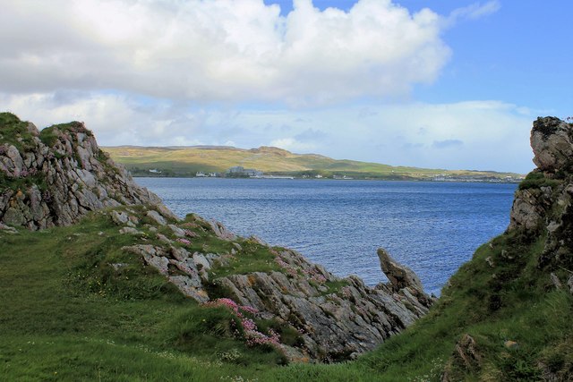
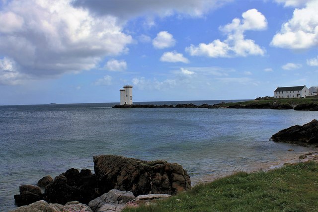
Alt Leathan is also home to a diverse range of wildlife, making it an ideal spot for birdwatching and wildlife spotting. Visitors may catch a glimpse of various seabirds, including gannets, puffins, and guillemots, as well as seals and otters that frequent the bay. The surrounding hills and woodlands are home to a variety of flora and fauna, further enhancing the natural beauty of the area.
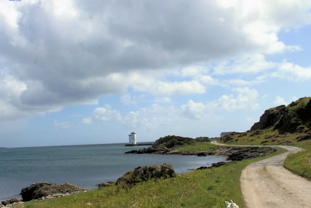
The bay is easily accessible by road, with a car park available for visitors. There are also picnic spots and walking trails along the coastline, allowing visitors to fully immerse themselves in the stunning scenery. For those seeking adventure, water sports such as kayaking and paddleboarding are popular activities in the bay.
Alt Leathan is a hidden gem in Argyllshire, offering visitors a chance to experience the beauty of Scotland's west coast in all its glory.
If you have any feedback on the listing, please let us know in the comments section below.
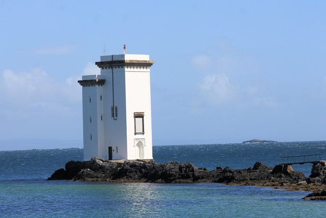
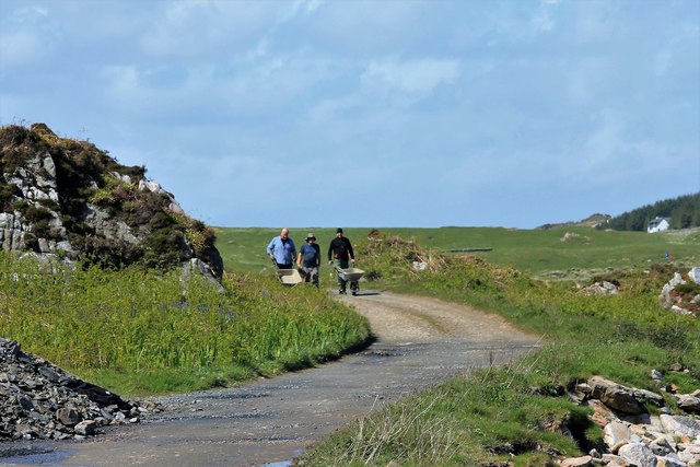
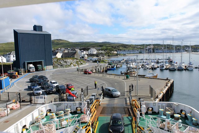
Alt Leathan Images
Images are sourced within 2km of 55.622845/-6.2156611 or Grid Reference NR3444. Thanks to Geograph Open Source API. All images are credited.


Alt Leathan is located at Grid Ref: NR3444 (Lat: 55.622845, Lng: -6.2156611)
Unitary Authority: Argyll and Bute
Police Authority: Argyll and West Dunbartonshire
What 3 Words
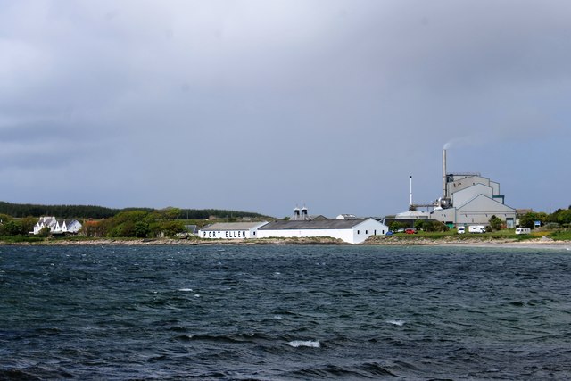
///stoops.breezes.warp. Near Port Ellen, Argyll & Bute
Nearby Locations
Related Wikis

Port Ellen distillery
Port Ellen distillery is located in Port Ellen on the isle of Islay, Scotland. It initially operated between 1825 and 1983 when production shut down....

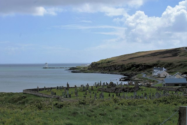
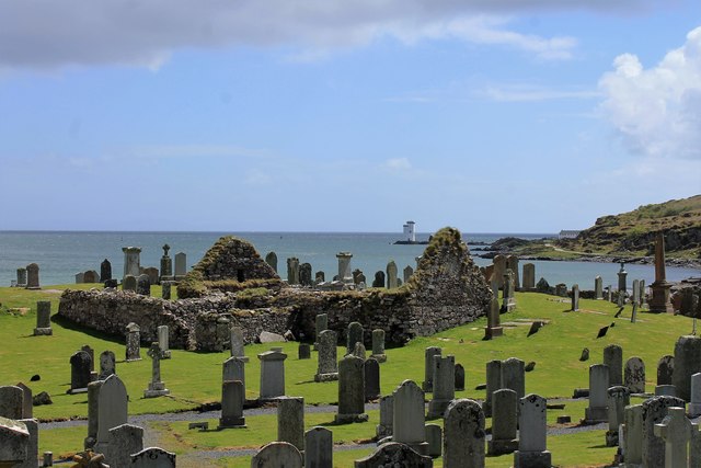
St John's Church, Port Ellen
St John's Church, Port Ellen is a Category B listed building in Port Ellen, Islay, Argyll and Bute, Scotland. == History == The memorial stone for the...

Port Ellen
Port Ellen (Scottish Gaelic: Port Ìlein) is a small town on the island of Islay, in Argyll, Scotland. The town is named after the wife of its founder,...

Laphroaig distillery
Laphroaig distillery ( lə-FROYG) is an Islay single malt Scotch whisky distillery. It is named after the area of land at the head of Loch Laphroaig on...
Nearby Amenities
Located within 500m of 55.622845,-6.2156611Have you been to Alt Leathan?
Leave your review of Alt Leathan below (or comments, questions and feedback).