Alt Leathan

Bay in Argyllshire

Scotland

Alt Leathan

Cill Eathain The site near Killeyan lies on a natural terrace on the south bank of Abhainn Ghil. The roughly circular site enclosed by low turfed stony mounds contains the ruin of a medieval chapel.
Cill Eathain Credit: Mary and Angus Hogg

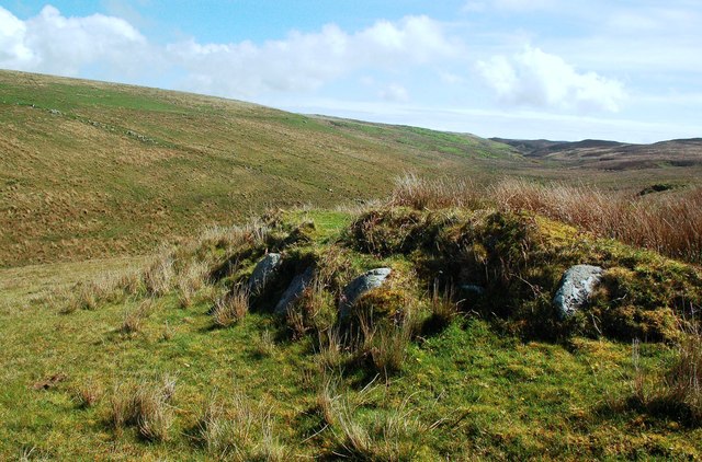
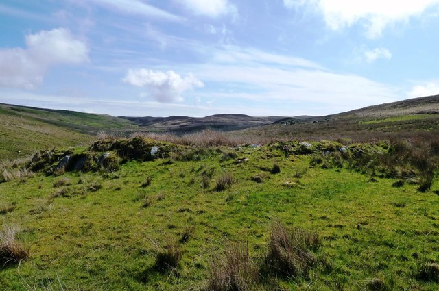
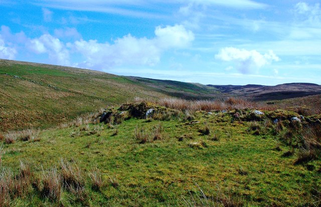
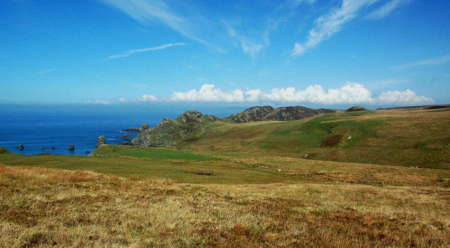
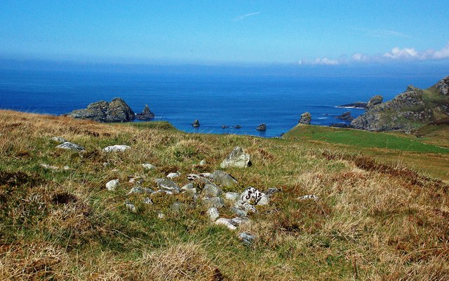
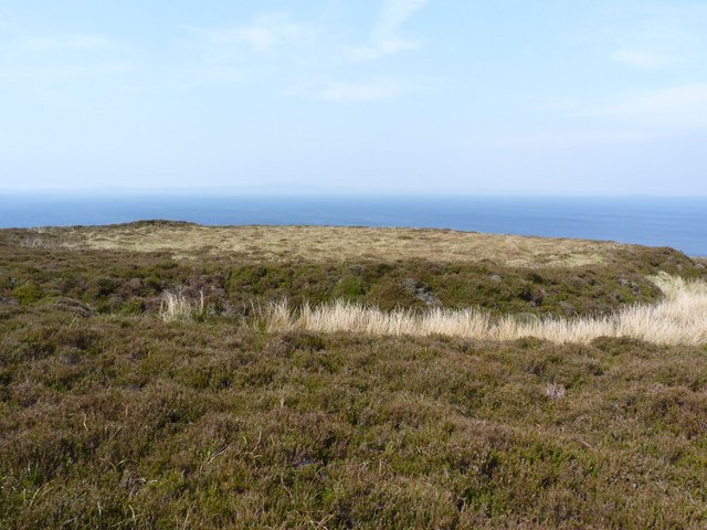
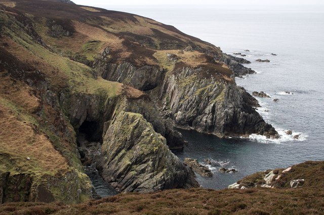
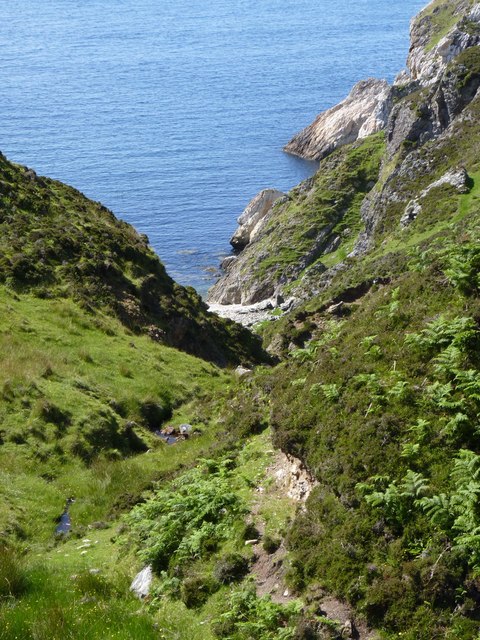
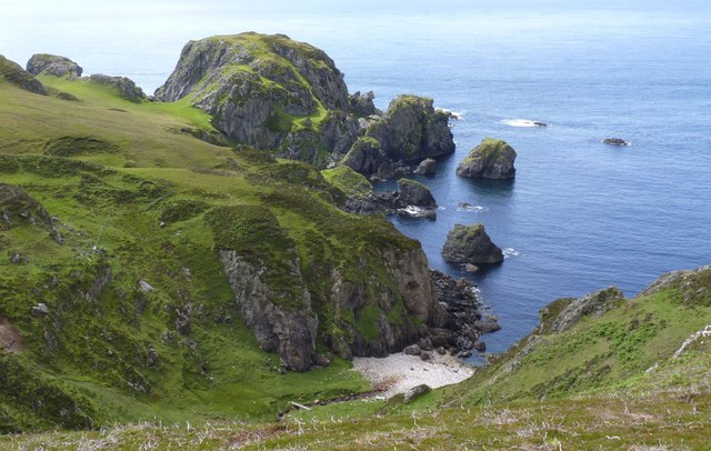
Alt Leathan is a small bay located in Argyllshire, Scotland. Situated on the west coast of Scotland, this picturesque bay offers stunning views of the surrounding rugged landscape and the vast expanse of the Atlantic Ocean. The name "Alt Leathan" translates to "wide burn" in Gaelic, which perfectly describes the bay's expansive reach.

The bay is known for its tranquil and secluded atmosphere, making it a popular destination for those seeking a peaceful retreat. The unspoiled sandy beaches and crystal-clear waters of Alt Leathan are a haven for wildlife enthusiasts and nature lovers. The bay is home to a diverse range of marine life, including seals, dolphins, and a wide variety of seabirds.

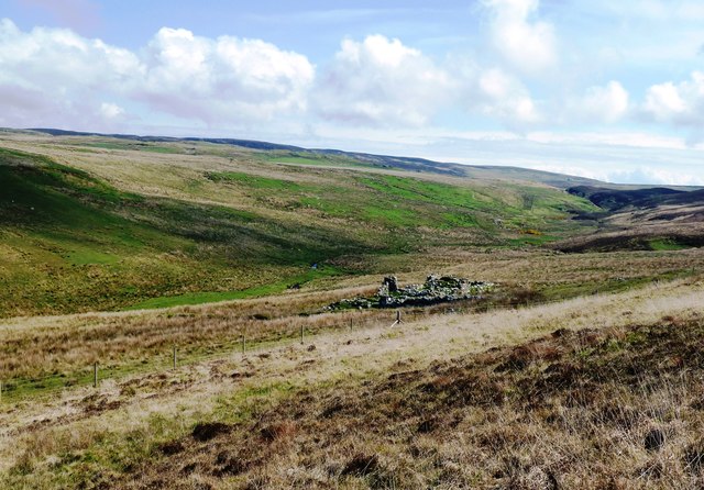
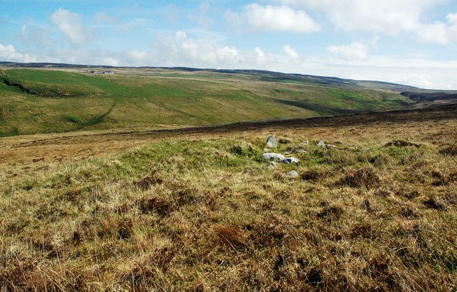
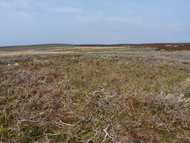
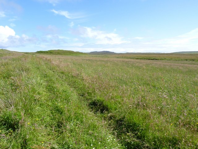
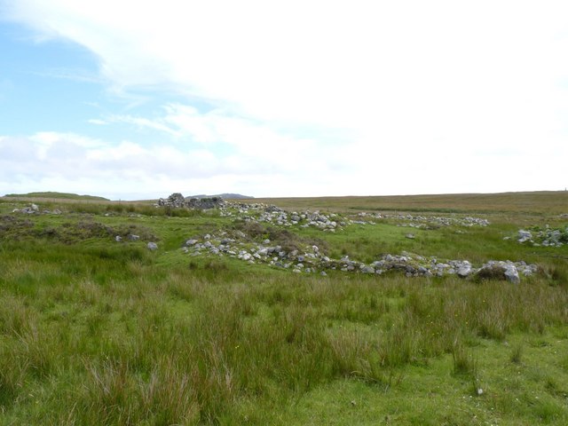
The surrounding area of Alt Leathan boasts an abundance of natural beauty. The bay is nestled amid rolling hills and dramatic cliffs, providing a breathtaking backdrop for outdoor activities such as hiking, birdwatching, and photography. The nearby Argyll Forest Park offers opportunities for exploring ancient woodlands and spotting rare wildlife.

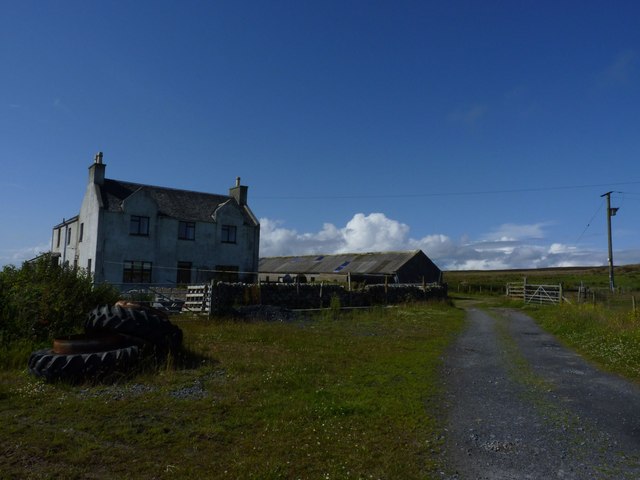
While Alt Leathan may be remote, it is not devoid of amenities. There are a few local establishments, including a charming inn and a small cafe, where visitors can enjoy a warm meal and soak in the friendly atmosphere. Additionally, the bay is well-connected to nearby towns and villages, making it easily accessible for tourists.

In summary, Alt Leathan is a hidden gem on the west coast of Scotland, offering a serene getaway for those seeking natural beauty and tranquility. With its stunning scenery, abundant wildlife, and opportunities for outdoor activities, this bay is a must-visit destination for nature enthusiasts and those looking to escape the hustle and bustle of city life.

If you have any feedback on the listing, please let us know in the comments section below.
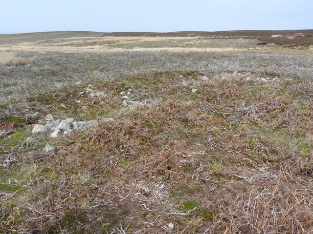
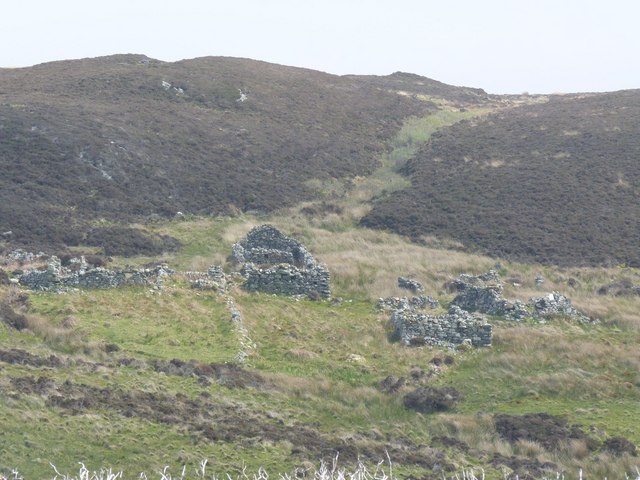
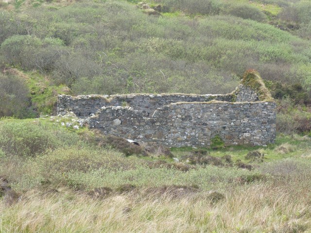
Alt Leathan Images

Images are sourced within 2km of 55.623725/-6.3281212 or Grid Reference NR2745. Thanks to Geograph Open Source API. All images are credited.

Cill Eathain The site near Killeyan lies on a natural terrace on the south bank of Abhainn Ghil. The roughly circular site enclosed by low turfed stony mounds contains the ruin of a medieval chapel.
Cill Eathain
The site near Killeyan lies on a natural terrace on the south bank of Abhainn Ghil. The roughly circular site enclosed by low turfed stony mounds contains the ruin of a medieval chapel.
Cill Eathain Chapel Site The site near Killeyan lies on a natural terrace on the south bank of Abhainn Ghil. The roughly circular site enclosed by low turfed stony mounds contains the ruin of a medieval chapel. It may also have been used as a burial ground. The Explorer Map shows it as a chapel and uses two small circles to indicate its location.
There’s another collection of stones nearby which might be related to Cill Eathain.
Cill Eathain Chapel Site
The site near Killeyan lies on a natural terrace on the south bank of Abhainn Ghil. The roughly circular site enclosed by low turfed stony mounds contains the ruin of a medieval chapel. It may also have been used as a burial ground. The Explorer Map shows it as a chapel and uses two small circles to indicate its location. There’s another collection of stones nearby which might be related to Cill Eathain.
At Cill Eathain The site near Killeyan lies on a natural terrace on the south bank of Abhainn Ghil. The roughly circular site enclosed by low turfed stony mounds contains the ruin of a medieval chapel from the 8th century. It may also have been used as a burial ground. The Explorer Map shows it as a chapel and uses two small circles to indicate its location.
Moorland sites like this are not always easy to find.
At Cill Eathain
The site near Killeyan lies on a natural terrace on the south bank of Abhainn Ghil. The roughly circular site enclosed by low turfed stony mounds contains the ruin of a medieval chapel from the 8th century. It may also have been used as a burial ground. The Explorer Map shows it as a chapel and uses two small circles to indicate its location. Moorland sites like this are not always easy to find.
Leacann Ruin The abandoned farm building at Leacann near Lower Killeyan.
Leacann Ruin
The abandoned farm building at Leacann near Lower Killeyan.
Killeyan Coastal View Looking over the moorland at Lower Killeyan towards its spectacular rocky coast.
Killeyan Coastal View
Looking over the moorland at Lower Killeyan towards its spectacular rocky coast.
From The Cairn Site At Lower Killeyan The rocky shore at Lower Killeyan viewed from a potentially interesting collection of stones on the moorland. The pile of stones could be a cairn related to the 8th century Cill Eathain chapel site nearby.
From The Cairn Site At Lower Killeyan
The rocky shore at Lower Killeyan viewed from a potentially interesting collection of stones on the moorland. The pile of stones could be a cairn related to the 8th century Cill Eathain chapel site nearby.
Moorland Cairn At Lower Killeyan This collection of stones lies near the medieval chapel site of Cill Eathain - see <a href="https://www.geograph.org.uk/photo/6151273">NR2743 : Cill Eathain Chapel Site</a> It's not possible to tell if the two sites are related to each other.
Moorland Cairn At Lower Killeyan
This collection of stones lies near the medieval chapel site of Cill Eathain - see NR2743 : Cill Eathain Chapel Site It's not possible to tell if the two sites are related to each other.
Hut Circle in Glen Astle, Islay Quite difficult to see unless taken from the air.
Hut Circle in Glen Astle, Islay
Quite difficult to see unless taken from the air.
Part of the Hut Circle in Glen Astle, Islay
Lower Glenastle, Islay There are many ruined villages and buildings on the Oa peninsula in south-west Islay. The population of this part of the island in 1830 was around 1500 - there's probably about a tenth of that number now! It is a very poignant experience to wander round this lonely, but beautiful, peninsula and think of times past and yet see the current living world all around which hasn't changed for centuries.
Lower Glenastle, Islay
There are many ruined villages and buildings on the Oa peninsula in south-west Islay. The population of this part of the island in 1830 was around 1500 - there's probably about a tenth of that number now! It is a very poignant experience to wander round this lonely, but beautiful, peninsula and think of times past and yet see the current living world all around which hasn't changed for centuries.
Earthwork near Bun an Easa, The Oa, Islay
Watermill, Glenastle, Islay There are many ruined villages and buildings on the Oa peninsula in south-west Islay. The population of this part of the island in 1830 was around 1500 - there's probably about a tenth of that number now! It is a very poignant experience to wander round this lonely, but beautiful, peninsula and think of times past and yet see the current living world all around which hasn't changed for centuries.
Watermill, Glenastle, Islay
There are many ruined villages and buildings on the Oa peninsula in south-west Islay. The population of this part of the island in 1830 was around 1500 - there's probably about a tenth of that number now! It is a very poignant experience to wander round this lonely, but beautiful, peninsula and think of times past and yet see the current living world all around which hasn't changed for centuries.
Caves at Bun an Easa, Islay
Giol Farm, The Oa, Islay
Field  near Giol Farm, The Oa, Islay
Field near Giol Farm, The Oa, Islay
Ruin near Giol Farm, Islay
Alt Traighe Leacail A tiny burn running down to a beach on the Oa peninsula, Islay
Alt Traighe Leacail
A tiny burn running down to a beach on the Oa peninsula, Islay
Dun Mor Ghil, The Oa, Islay An ancient fort on the Oa peninsula, Islay
Dun Mor Ghil, The Oa, Islay
An ancient fort on the Oa peninsula, Islay
Show me another place!

Alt Leathan is located at Grid Ref: NR2745 (Lat: 55.623725, Lng: -6.3281212)

Unitary Authority: Argyll and Bute

Police Authority: Argyll and West Dunbartonshire

What 3 Words

///radiated.trembles.masterpiece. Near Port Ellen, Argyll & Bute

Related Wikis

Eas Mòr, lower

Eas Mor (lower) is a waterfall on the Abhainn Ghil on the island of Islay, in Scotland. It lies on the west coast of The Oa peninsula north of Lower Killeyan...

Eas Mòr, upper

Eas Mor is a waterfall is a waterfall on the Abhainn Ghil on the island of Islay in Scotland. It lies on The Oa peninsula south of Giol and west of Lenavore...

The Oa

The Oa ( OH) (Scottish Gaelic: An Obha) is a rocky peninsula in the southwest of the island of Islay, in Argyll, Scotland. It is an RSPB nature reserve...

Machrie golf course

The Machrie Golf Course, or "The Machrie Links", is located on Islay, in Scotland. The word "machrie" is a corruption of the Scottish Gaelic machair, which...

Islay Airport

Islay Airport (IATA: ILY, ICAO: EGPI) (also known as Glenegedale Airport) (Scottish Gaelic: Port-adhair Ìle) is located 4.5 nautical miles (8.3 kilometres...

Port Ellen distillery

Port Ellen distillery is located in Port Ellen on the isle of Islay, Scotland. It initially operated between 1825 and 1983 when production shut down....

River Laggan

The River Laggan is a small river on the Scottish island of Islay. Having gathered the waters of the Kilennan River, Barr River and Duich River / Torra...

St John's Church, Port Ellen

St John's Church, Port Ellen is a Category B listed building in Port Ellen, Islay, Argyll and Bute, Scotland. == History == The memorial stone for the...

Have you been to Alt Leathan?

Leave your review of Alt Leathan below (or comments, questions and feedback).