Alt a' Ghamhna

Bay in Argyllshire

Scotland

Alt a' Ghamhna

Moorland beside unsurfaced road to RSPB reserve A minor road crosses the peninsula of The Oa eventually becoming unsurfaced and presumably unadopted. It reaches the RSPB reserve after a kilometre or so of rough motoring.
Moorland beside unsurfaced road to RSPB reserve Credit: Trevor Littlewood

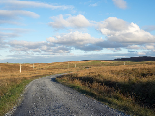
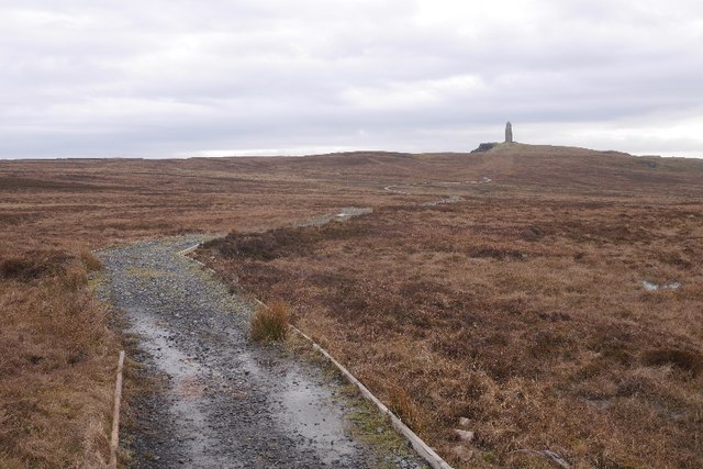
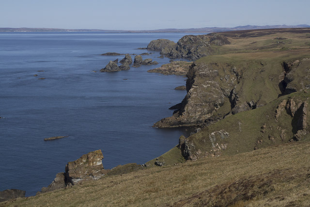
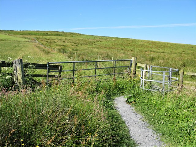
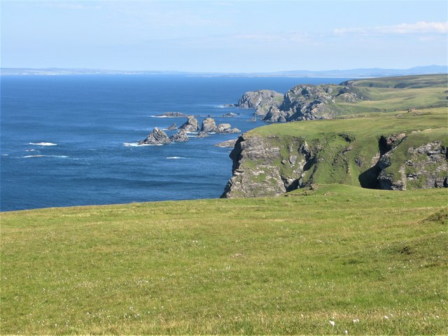
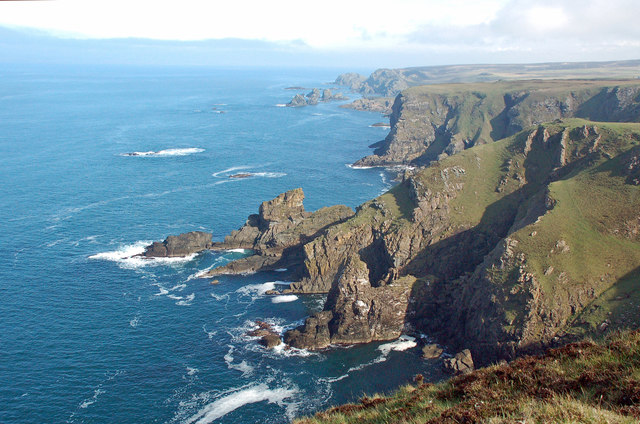
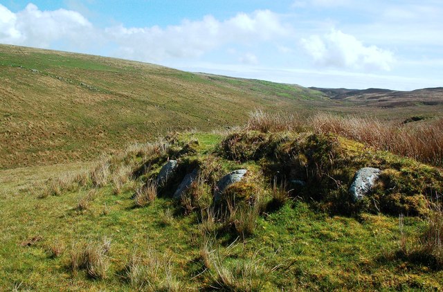
Alt a' Ghamhna, also known as Ghamhna Bay, is a picturesque coastal bay located in Argyllshire, Scotland. Nestled on the west coast of Scotland, this bay offers stunning views of the surrounding rugged landscape and the sparkling waters of the Atlantic Ocean.

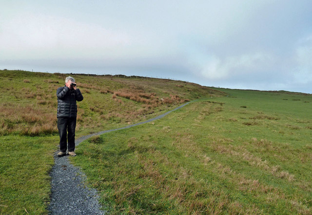
The bay is characterized by its pristine sandy beach, which stretches for approximately 2 kilometers and is backed by rolling sand dunes. The beach is popular among both locals and tourists for its natural beauty and tranquility, making it an ideal spot for relaxation and leisurely walks.

The bay is also known for its diverse wildlife, particularly bird species. It serves as a habitat for a variety of seabirds, including gulls, oystercatchers, and terns. Birdwatchers often visit the bay to observe and enjoy the rich avian life in the area.

In addition to its natural beauty, Alt a' Ghamhna offers various outdoor activities. The bay is a popular spot for water sports enthusiasts, with opportunities for swimming, kayaking, and paddleboarding in its clear waters. Fishing is also a common activity, with the bay known for its abundance of fish such as mackerel and sea trout.

For those seeking a peaceful retreat surrounded by stunning scenery, Alt a' Ghamhna in Argyllshire is a must-visit destination. Its idyllic beach, diverse wildlife, and range of outdoor activities make it a perfect spot for nature lovers and adventure seekers alike.

If you have any feedback on the listing, please let us know in the comments section below.

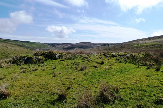
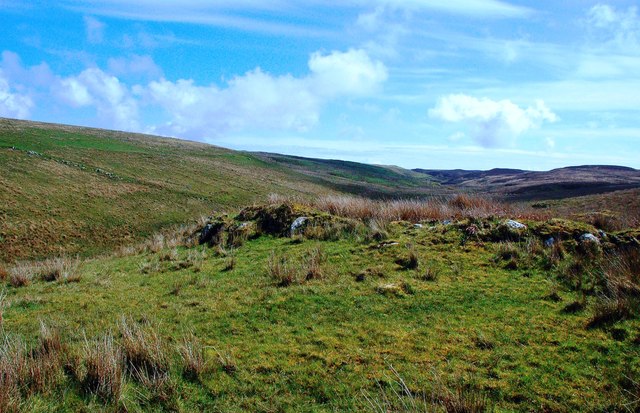
Alt a' Ghamhna Images

Images are sourced within 2km of 55.609889/-6.3287078 or Grid Reference NR2743. Thanks to Geograph Open Source API. All images are credited.

Moorland beside unsurfaced road to RSPB reserve A minor road crosses the peninsula of The Oa eventually becoming unsurfaced and presumably unadopted. It reaches the RSPB reserve after a kilometre or so of rough motoring.
Moorland beside unsurfaced road to RSPB reserve
A minor road crosses the peninsula of The Oa eventually becoming unsurfaced and presumably unadopted. It reaches the RSPB reserve after a kilometre or so of rough motoring.
Low hill on rough grazing from path to American Monument A path runs from the RSPB reserve at The Oa to the American Monument passing the low hill at the centre of the image on its south side.
Low hill on rough grazing from path to American Monument
A path runs from the RSPB reserve at The Oa to the American Monument passing the low hill at the centre of the image on its south side.
Unsurfaced public road near to Kinnabus The road serves farms on The Oa but is also the access for the RSPB reserve on the peninsula.
Unsurfaced public road near to Kinnabus
The road serves farms on The Oa but is also the access for the RSPB reserve on the peninsula.
Old field boundary Grassed over dyke, Upper Killeyan.
Old field boundary
Grassed over dyke, Upper Killeyan.
Wetland, Upper Killeyan Beside the path to the American Monument.
Wetland, Upper Killeyan
Beside the path to the American Monument.
Path from the American Monument A waymarked path on the Mull of Oa.
Path from the American Monument
A waymarked path on the Mull of Oa.
Path to the American Monument The wet path at the Mull of Oa is being upgraded but there are still some very wet bits.
Path to the American Monument
The wet path at the Mull of Oa is being upgraded but there are still some very wet bits.
Bog near Kinnabus Peat cuttings.
Bog near Kinnabus
Peat cuttings.
Cliffs at the Mull of Oa These are the Oa cliffs looking north.
Cliffs at the Mull of Oa
These are the Oa cliffs looking north.
Car Park at the start of the route to the American Monument, Islay The route starts out as a track leaving the car park at the far end. Soon after this point a path leading to the American Monument leaves the track.
Car Park at the start of the route to the American Monument, Islay
The route starts out as a track leaving the car park at the far end. Soon after this point a path leading to the American Monument leaves the track.
Kissing Gate on the Path to the American Monument, Islay It's amazing how many different ways there are for opening gates and kissing gates. This was one of the more common ones.
Kissing Gate on the Path to the American Monument, Islay
It's amazing how many different ways there are for opening gates and kissing gates. This was one of the more common ones.
Cliffs at the Mull of Oa, Islay Cliffs just to the west of the <a href="https://www.geograph.org.uk/photo/5831864">NR2741 : American Monument and Trig Point at the Mull of Oa, Islay</a>.
Cliffs at the Mull of Oa, Islay
Mull of Oa View The spectacular cliffs on the Mull of Oa, Islay’s southern point. This view looks northward to Rubha Leac nan Laogh and Rubha Leacan Bànaig.
Mull of Oa View
The spectacular cliffs on the Mull of Oa, Islay’s southern point. This view looks northward to Rubha Leac nan Laogh and Rubha Leacan Bànaig.
Killeyan Moorland View The settlement of Lower Killeyan is shown in the background, in the next square.
Killeyan Moorland View
The settlement of Lower Killeyan is shown in the background, in the next square.
Birdwatching On The Oa This popular birdwatching area is managed by the RSPB.
Birdwatching On The Oa
This popular birdwatching area is managed by the RSPB.
Cill Eathain The site near Killeyan lies on a natural terrace on the south bank of Abhainn Ghil. The roughly circular site enclosed by low turfed stony mounds contains the ruin of a medieval chapel.
Cill Eathain
The site near Killeyan lies on a natural terrace on the south bank of Abhainn Ghil. The roughly circular site enclosed by low turfed stony mounds contains the ruin of a medieval chapel.
Cill Eathain Chapel Site The site near Killeyan lies on a natural terrace on the south bank of Abhainn Ghil. The roughly circular site enclosed by low turfed stony mounds contains the ruin of a medieval chapel. It may also have been used as a burial ground. The Explorer Map shows it as a chapel and uses two small circles to indicate its location.
There’s another collection of stones nearby which might be related to Cill Eathain.
Cill Eathain Chapel Site
The site near Killeyan lies on a natural terrace on the south bank of Abhainn Ghil. The roughly circular site enclosed by low turfed stony mounds contains the ruin of a medieval chapel. It may also have been used as a burial ground. The Explorer Map shows it as a chapel and uses two small circles to indicate its location. There’s another collection of stones nearby which might be related to Cill Eathain.
At Cill Eathain The site near Killeyan lies on a natural terrace on the south bank of Abhainn Ghil. The roughly circular site enclosed by low turfed stony mounds contains the ruin of a medieval chapel from the 8th century. It may also have been used as a burial ground. The Explorer Map shows it as a chapel and uses two small circles to indicate its location.
Moorland sites like this are not always easy to find.
At Cill Eathain
The site near Killeyan lies on a natural terrace on the south bank of Abhainn Ghil. The roughly circular site enclosed by low turfed stony mounds contains the ruin of a medieval chapel from the 8th century. It may also have been used as a burial ground. The Explorer Map shows it as a chapel and uses two small circles to indicate its location. Moorland sites like this are not always easy to find.
Show me another place!

Alt a' Ghamhna is located at Grid Ref: NR2743 (Lat: 55.609889, Lng: -6.3287078)

Unitary Authority: Argyll and Bute

Police Authority: Argyll and West Dunbartonshire

What 3 Words

///swimsuits.grasp.learning. Near Port Ellen, Argyll & Bute

Related Wikis

Eas Mòr, lower

Eas Mor (lower) is a waterfall on the Abhainn Ghil on the island of Islay, in Scotland. It lies on the west coast of The Oa peninsula north of Lower Killeyan...

Eas Mòr, upper

Eas Mor is a waterfall is a waterfall on the Abhainn Ghil on the island of Islay in Scotland. It lies on The Oa peninsula south of Giol and west of Lenavore...

The Oa

The Oa ( OH) (Scottish Gaelic: An Obha) is a rocky peninsula in the southwest of the island of Islay, in Argyll, Scotland. It is an RSPB nature reserve...

Machrie golf course

The Machrie Golf Course, or "The Machrie Links", is located on Islay, in Scotland. The word "machrie" is a corruption of the Scottish Gaelic machair, which...

Port Ellen distillery

Port Ellen distillery is located in Port Ellen on the isle of Islay, Scotland. It initially operated between 1825 and 1983 when production shut down....

Islay Airport

Islay Airport (IATA: ILY, ICAO: EGPI) (also known as Glenegedale Airport) (Scottish Gaelic: Port-adhair Ìle) is located 4.5 nautical miles (8.3 kilometres...

St John's Church, Port Ellen

St John's Church, Port Ellen is a Category B listed building in Port Ellen, Islay, Argyll and Bute, Scotland. == History == The memorial stone for the...

Port Ellen

Port Ellen (Scottish Gaelic: Port Ìlein) is a small town on the island of Islay, in Argyll, Scotland. The town is named after the wife of its founder,...

Have you been to Alt a' Ghamhna?

Leave your review of Alt a' Ghamhna below (or comments, questions and feedback).