Cnoc nam Mèirleach
Hill, Mountain in Argyllshire
Scotland
Cnoc nam Mèirleach

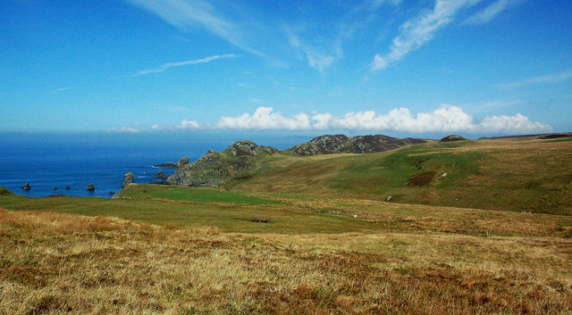
Cnoc nam Mèirleach is a prominent hill located in Argyllshire, Scotland. It stands at an impressive height of 813 meters (2,667 feet) above sea level, making it one of the highest peaks in the region. The hill is part of the Grampian Mountains, which are known for their rugged and picturesque landscapes.
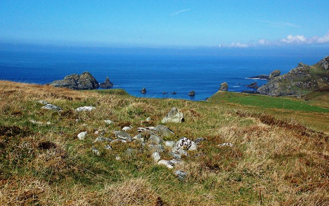
The name Cnoc nam Mèirleach translates to "Hill of the Thieves" in English, suggesting a fascinating history behind the name. The hill offers breathtaking panoramic views of the surrounding countryside, including the nearby Loch Awe and the enchanting Glen Strae. On a clear day, one can even catch a glimpse of the stunning Inner Hebrides islands in the distance.
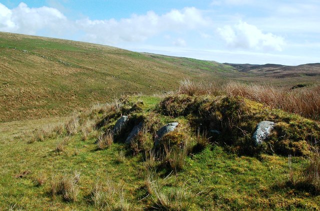
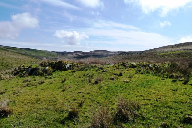
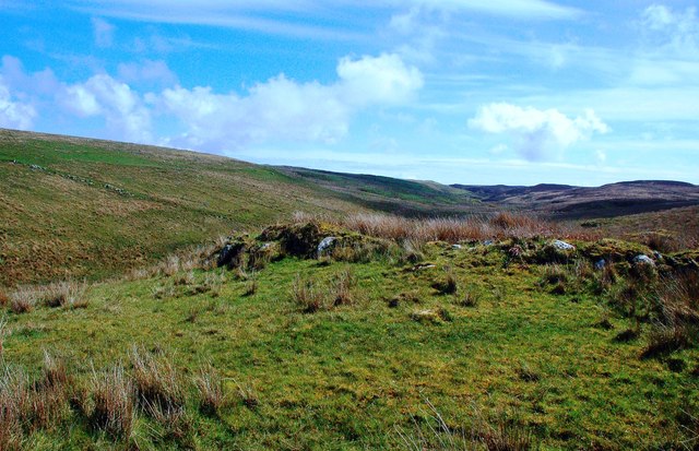
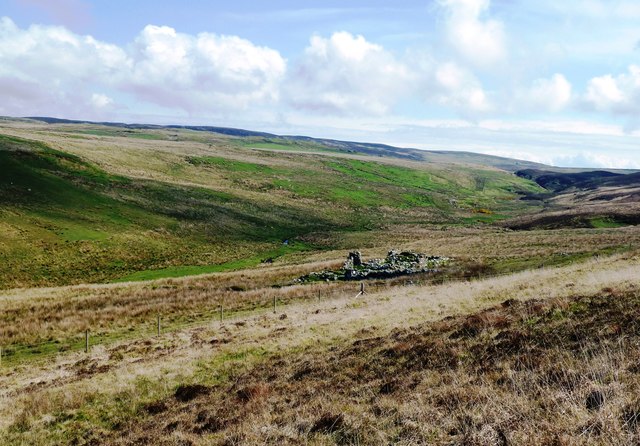
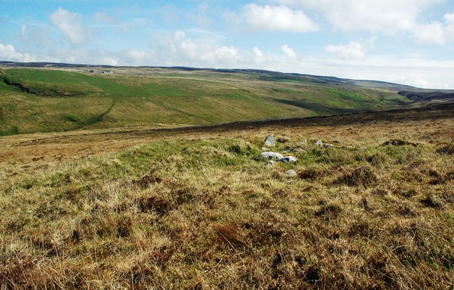
The terrain of Cnoc nam Mèirleach is characterized by steep slopes and rocky outcrops, which attract both experienced hikers and rock climbers. The hill is often frequented by outdoor enthusiasts seeking a challenging yet rewarding adventure. Its unique geological features, including exposed granite and quartzite, add to its allure.
The wildlife on Cnoc nam Mèirleach is diverse and abundant. The hill is home to various species of birds, such as golden eagles and red grouse, as well as mammals like red deer and mountain hares. The area surrounding the hill is also known for its rich flora, with heather, mosses, and grasses covering the slopes.
Cnoc nam Mèirleach is a popular destination for outdoor activities, such as hillwalking, birdwatching, and nature photography. Its striking beauty and challenging terrain make it an ideal spot for adventurers and nature lovers alike, offering an unforgettable experience in the heart of Argyllshire.
If you have any feedback on the listing, please let us know in the comments section below.
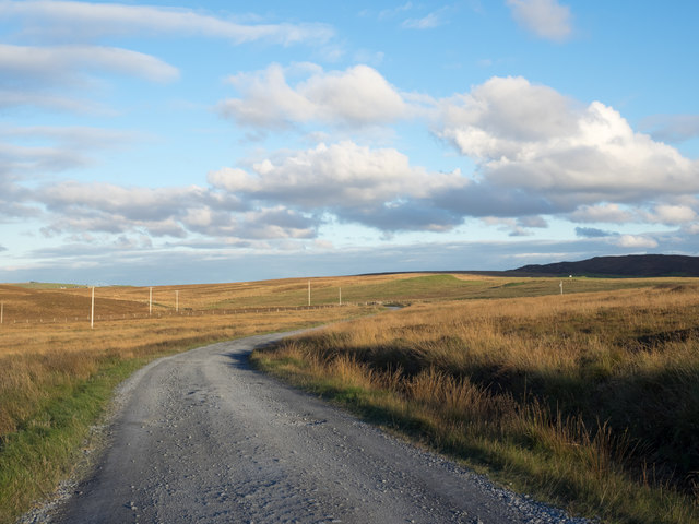
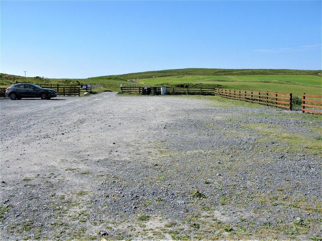
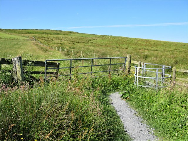
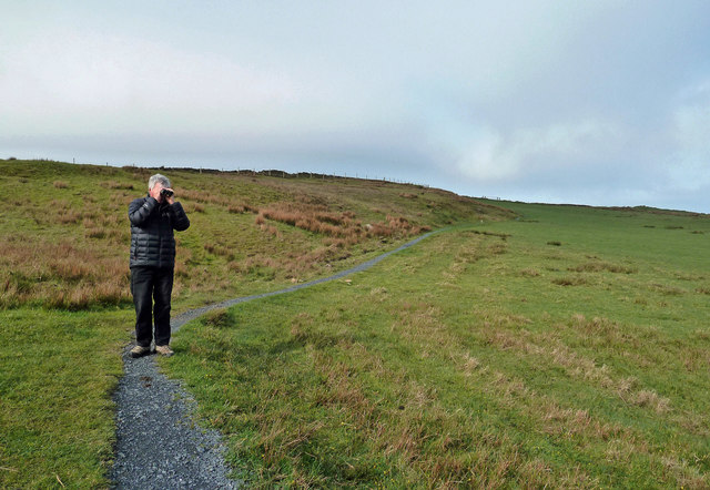
Cnoc nam Mèirleach Images
Images are sourced within 2km of 55.612735/-6.3250331 or Grid Reference NR2743. Thanks to Geograph Open Source API. All images are credited.


Cnoc nam Mèirleach is located at Grid Ref: NR2743 (Lat: 55.612735, Lng: -6.3250331)
Unitary Authority: Argyll and Bute
Police Authority: Argyll and West Dunbartonshire
What 3 Words
///grant.yachting.overlaid. Near Port Ellen, Argyll & Bute
Related Wikis

Eas Mòr, lower
Eas Mor (lower) is a waterfall on the Abhainn Ghil on the island of Islay, in Scotland. It lies on the west coast of The Oa peninsula north of Lower Killeyan...
Eas Mòr, upper
Eas Mor is a waterfall is a waterfall on the Abhainn Ghil on the island of Islay in Scotland. It lies on The Oa peninsula south of Giol and west of Lenavore...

The Oa
The Oa ( OH) (Scottish Gaelic: An Obha) is a rocky peninsula in the southwest of the island of Islay, in Argyll, Scotland. It is an RSPB nature reserve...

Machrie golf course
The Machrie Golf Course, or "The Machrie Links", is located on Islay, in Scotland. The word "machrie" is a corruption of the Scottish Gaelic machair, which...

Port Ellen distillery
Port Ellen distillery is located in Port Ellen on the isle of Islay, Scotland. It initially operated between 1825 and 1983 when production shut down....
Islay Airport
Islay Airport (IATA: ILY, ICAO: EGPI) (also known as Glenegedale Airport) (Scottish Gaelic: Port-adhair Ìle) is located 4.5 nautical miles (8.3 kilometres...

St John's Church, Port Ellen
St John's Church, Port Ellen is a Category B listed building in Port Ellen, Islay, Argyll and Bute, Scotland. == History == The memorial stone for the...

Port Ellen
Port Ellen (Scottish Gaelic: Port Ìlein) is a small town on the island of Islay, in Argyll, Scotland. The town is named after the wife of its founder,...
Have you been to Cnoc nam Mèirleach?
Leave your review of Cnoc nam Mèirleach below (or comments, questions and feedback).