Tòb a' Bhodaich
Bay in Ross-shire
Scotland
Tòb a' Bhodaich

Tòb a' Bhodaich, also known as Bay of the Old Man, is a picturesque coastal area located in Ross-shire, Scotland. It lies on the northern shore of the Cromarty Firth, approximately 12 miles north of Inverness, the capital of the Highlands.
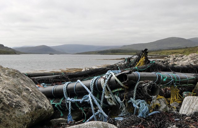
The bay is characterized by its serene beauty and stunning panoramic views of the surrounding landscape. It boasts a sandy beach, which stretches for about half a mile and is backed by rolling dunes covered in marram grass. The waters of the bay are calm and shallow, making it an ideal spot for swimming and other water activities during the summer months.
The area surrounding Tòb a' Bhodaich is rich in wildlife, attracting birdwatchers and nature enthusiasts from all over. Various species of seabirds, including oystercatchers and gulls, can be observed in their natural habitat. The bay is also known for its seals, which can often be seen basking on the rocks near the shore.
The bay is a popular destination for visitors seeking tranquility and relaxation. It offers opportunities for leisurely walks along the beach, picnics, and even barbecues in designated areas. The nearby village of North Kessock provides amenities such as a café and a small shop, ensuring visitors have access to basic necessities.
Overall, Tòb a' Bhodaich in Ross-shire is a hidden gem of natural beauty, offering a peaceful retreat for those seeking to immerse themselves in Scotland's stunning coastal scenery and abundant wildlife.
If you have any feedback on the listing, please let us know in the comments section below.
Tòb a' Bhodaich Images
Images are sourced within 2km of 58.055091/-6.682687 or Grid Reference NB2316. Thanks to Geograph Open Source API. All images are credited.


![Monument to the loyalty of the Hebrideans Above the crofting township of Airidh a&#039; Bhruaich. Commemorating the fact that Charles Edward Stuart [Bonnie Prince Charlie] was not betrayed by them when he was on the run after Culloden and landed here on 4 May 1746, in spite of a bounty of £30000 on offer.](https://s2.geograph.org.uk/geophotos/03/48/10/3481018_0fb1c6db.jpg)
Tòb a' Bhodaich is located at Grid Ref: NB2316 (Lat: 58.055091, Lng: -6.682687)
Unitary Authority: Na h-Eileanan an Iar
Police Authority: Highlands and Islands
What 3 Words
///identity.begin.increases. Near Leurbost, Na h-Eileanan Siar
Related Wikis
Airidh a' Bhruaich
Airidh a' Bhruaich (Arivruaich - anglicised) is a scattered crofting township in the South Lochs district of the Isle of Lewis in the Outer Hebrides of...
Eilean Mòr, Loch Langavat
Eilean Mòr is an island in Loch Langavat on the Isle of Lewis in the Outer Hebrides of Scotland. == Footnotes ==
Balallan
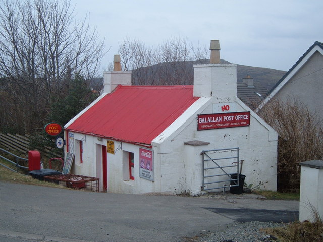
Balallan (Scottish Gaelic: Baile Ailein, Bail' Ailein), meaning "Allan's Town", is a crofting township on the Isle of Lewis, in the Outer Hebrides, Scotland...
Seaforth Island
Seaforth Island (Scottish Gaelic: Eilean Shìphoirt/Shìophoirt or Mulag) is an uninhabited island in the Outer Hebrides of Scotland. Unlike many other...
Nearby Amenities
Located within 500m of 58.055091,-6.682687Have you been to Tòb a' Bhodaich?
Leave your review of Tòb a' Bhodaich below (or comments, questions and feedback).


![Cairn at Airidh a' Bhruaich Commemorating the landing here of Charles Edward Stuart [Bonnie Prince Charlie] on 4 May 1746, while on the run after the battle of Culloden 18 days earlier.](https://s3.geograph.org.uk/geophotos/03/46/93/3469335_65cc4307.jpg)


![Plaque on a monument to the Hebrideans Commemorating the fact that they did not betray Charles Edward Stuart [Bonnie Prince Charlie] when he was on the run after Culloden and landed here on 4 May 1746, in spite of a bounty of £30000 on offer.](https://s3.geograph.org.uk/geophotos/03/48/10/3481007_eee70e9c.jpg)


