Glas-staoin Bheag
Bay in Argyllshire
Scotland
Glas-staoin Bheag
The requested URL returned error: 429 Too Many Requests
If you have any feedback on the listing, please let us know in the comments section below.
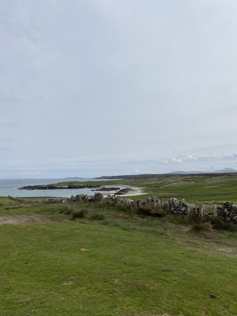
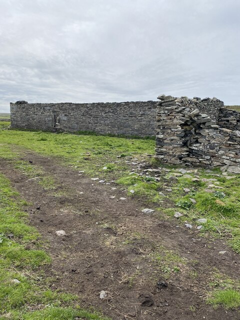
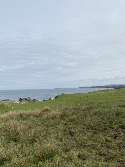
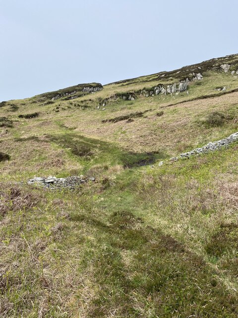
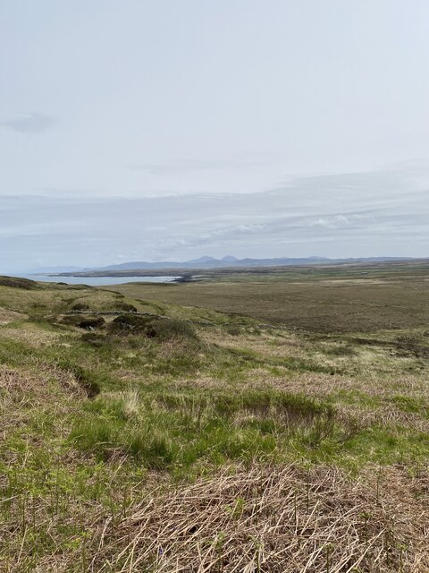
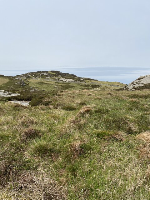
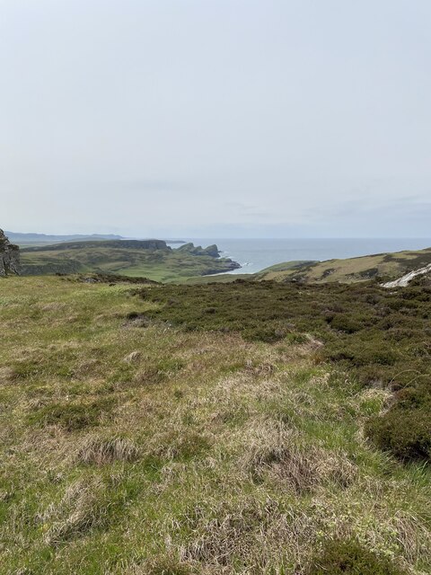
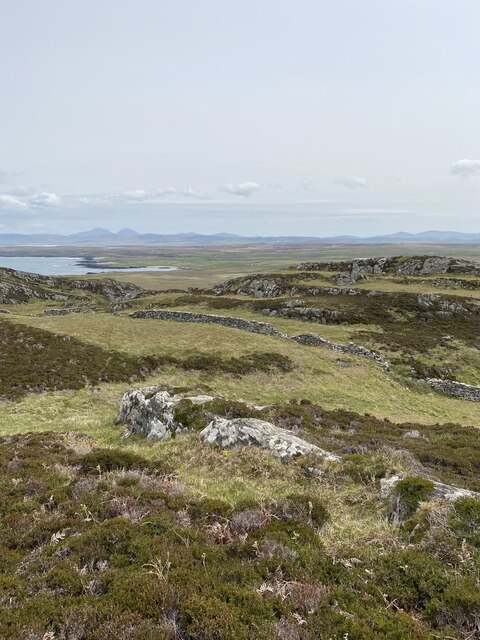
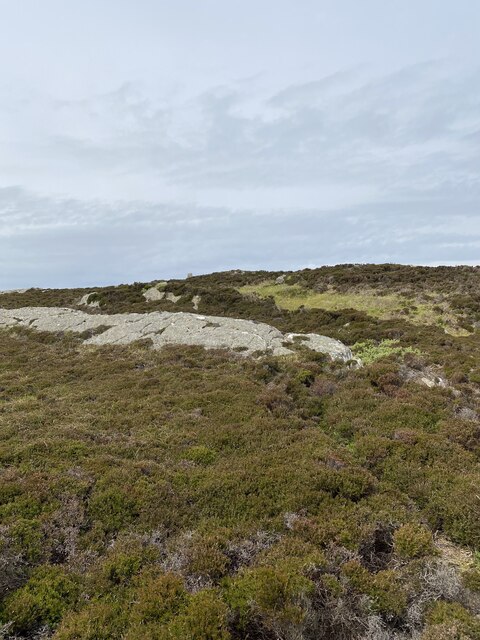
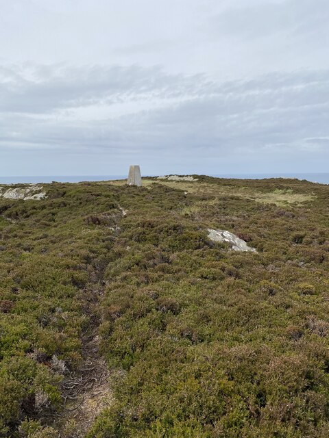
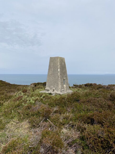
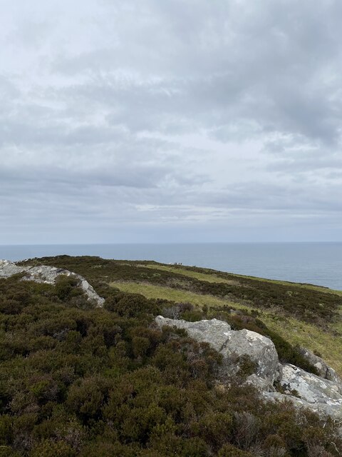
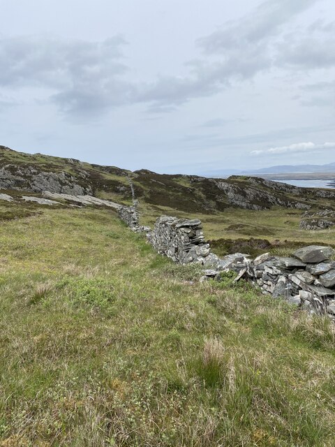
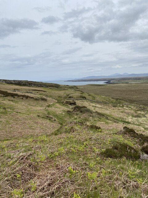
Glas-staoin Bheag Images
Images are sourced within 2km of 55.851995/-6.4150663 or Grid Reference NR2370. Thanks to Geograph Open Source API. All images are credited.
Glas-staoin Bheag is located at Grid Ref: NR2370 (Lat: 55.851995, Lng: -6.4150663)
Unitary Authority: Argyll and Bute
Police Authority: Argyll and West Dunbartonshire
What 3 Words
///comic.alike.opposite. Near Bridgend, Argyll & Bute
Nearby Locations
Related Wikis

Battle of Traigh Ghruinneart
The Battle of Traigh Ghruinneart or in Scottish Gaelic Blàr Tràigh Ghruineart or sometimes called the Battle of Gruinart Strand was a Scottish clan battle...

Loch Gorm Castle
Loch Gorm Castle is a ruined castle located on Eilean Mòr (big island) on Loch Gorm, Islay, Scotland. It was once a stronghold of Clan Macdonald. The castle...

Loch Gruinart
Loch Gruinart (Scottish Gaelic: Loch Gruinneard from the Old Norse, meaning "shallow fjord") is a sea loch on the northern coast of isle of Islay in Scotland...

Gruinart Flats
The Gruinart Flats is a low-lying landform on the western part of the isle of Islay in Scotland. The locale is an important conservation area, having been...
Nearby Amenities
Located within 500m of 55.851995,-6.4150663Have you been to Glas-staoin Bheag?
Leave your review of Glas-staoin Bheag below (or comments, questions and feedback).