An Dorneil
Bay in Inverness-shire
Scotland
An Dorneil

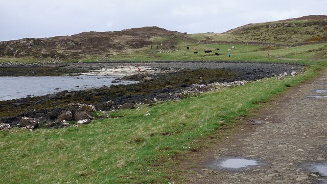
An Dorneil is a bay located in the county of Inverness-shire in Scotland. Situated on the west coast of Scotland, An Dorneil is known for its stunning natural beauty and picturesque surroundings.
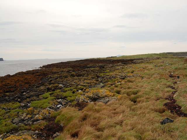
The bay is surrounded by rugged cliffs and rolling hills, providing a peaceful and tranquil setting for visitors to enjoy. The clear blue waters of the bay are perfect for swimming, kayaking, and other water activities.
An Dorneil is also a popular spot for birdwatching, with a variety of seabirds and other wildlife species calling the bay home. Visitors can often spot seals, dolphins, and even the occasional whale in the waters of the bay.
The nearby village of Inverness-shire offers a range of amenities and accommodations for visitors looking to explore the area. Whether you're looking to relax on the beach, explore the surrounding countryside, or simply take in the stunning views, An Dorneil has something to offer everyone.
If you have any feedback on the listing, please let us know in the comments section below.
An Dorneil Images
Images are sourced within 2km of 57.498175/-6.6395219 or Grid Reference NG2254. Thanks to Geograph Open Source API. All images are credited.


![Lazy beds associated with the deserted township known by the name Cnoc Mòr a' Ghrobain For more info. see ‘Skye, Cnoc Mor A’ Ghrobain | Canmore’. 2023. Canmore.org.uk &lt;<span class="nowrap"><a title="https://canmore.org.uk/site/10916/skye-cnoc-mor-a-ghrobain" rel="nofollow ugc noopener" href="https://canmore.org.uk/site/10916/skye-cnoc-mor-a-ghrobain">Link</a><img style="margin-left:2px;" alt="External link" title="External link - shift click to open in new window" src="https://s1.geograph.org.uk/img/external.png" width="10" height="10"/></span> &gt; [accessed 17 July 2023]](https://s2.geograph.org.uk/geophotos/07/54/41/7544182_568ae5b0.jpg)


An Dorneil is located at Grid Ref: NG2254 (Lat: 57.498175, Lng: -6.6395219)
Unitary Authority: Highland
Police Authority: Highlands and Islands
What 3 Words
///bookings.shapeless.scrubbing. Near Glendale, Highland
Nearby Locations
Related Wikis
Lampay
Lampay is an uninhabited tidal island in Loch Dunvegan, off the northwest coast of the Isle of Skye in Scotland. It is separated from the "mainland" of...

Loch Dunvegan
Loch Dunvegan (Scottish Gaelic: Loch Dhùn Bheagain), is a sea loch on the west coast of the island of Skye in the Inner Hebrides of Scotland. Dunvegan...

Isay
Isay (Scottish Gaelic: Ìosaigh) is an uninhabited island in the Inner Hebrides of the west coast of Scotland. It lies in Loch Dunvegan, 1 kilometre (1...
Claigan
Claigan (Scottish Gaelic: An Claigeann) is a small coastal settlement on the north east shore of the sea loch, Loch Dunvegan, on the Waternish peninsula...
Nearby Amenities
Located within 500m of 57.498175,-6.6395219Have you been to An Dorneil?
Leave your review of An Dorneil below (or comments, questions and feedback).