Bassingfield

Settlement in Nottinghamshire Rushcliffe

England

Bassingfield

Grantham Canal Recreating this 'First' for the square <a title="https://www.geograph.org.uk/photo/51950" href="https://www.geograph.org.uk/photo/51950">Link</a>
Grantham Canal Credit: Alan Murray-Rust

Bassingfield is a small village located in the county of Nottinghamshire, England. Situated approximately 6 miles southwest of Nottingham city center, it falls within the Rushcliffe borough. The village is positioned in a rural area, surrounded by picturesque countryside and farmland.

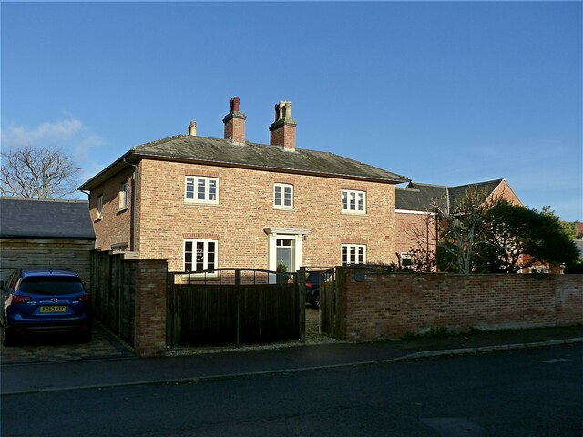
With a population of around 400 residents, Bassingfield maintains a close-knit community atmosphere. It is known for its tranquil and peaceful environment, offering a welcome respite from the hustle and bustle of city life. The village is characterized by its charming cottages and well-maintained gardens, adding to its idyllic appeal.

Bassingfield is home to St. Thomas' Church, a beautiful medieval structure that dates back to the 13th century. This historic landmark attracts both locals and visitors, who appreciate its architectural significance and religious heritage.

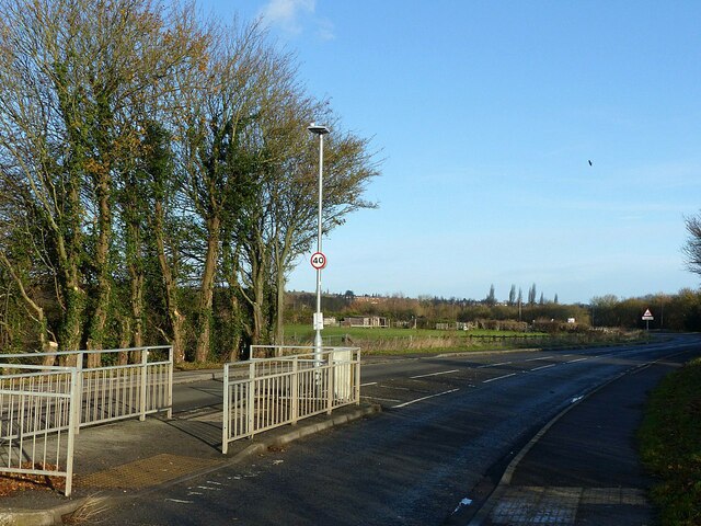
Despite its small size, Bassingfield benefits from its proximity to Nottingham city center. Residents can easily access a wide range of amenities and services, including shopping centers, restaurants, and entertainment venues. Additionally, the village is well-connected to surrounding areas through a network of roads and public transport links, allowing for convenient travel.

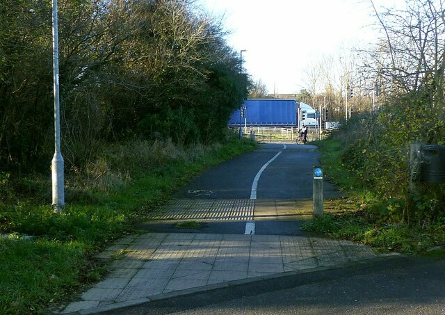
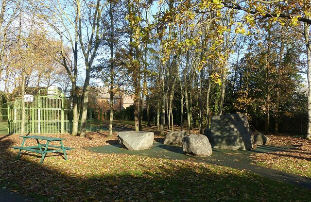
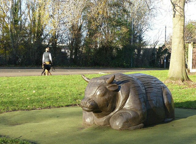
The village is surrounded by natural beauty, with several walking and cycling routes in the vicinity. These paths provide opportunities for outdoor activities, such as hiking and exploring the countryside.

In summary, Bassingfield is a charming and peaceful village in Nottinghamshire, offering a close-knit community, historic landmarks, and easy access to nearby amenities. Its rural location and natural surroundings make it an attractive destination for those seeking a quieter way of life.

If you have any feedback on the listing, please let us know in the comments section below.
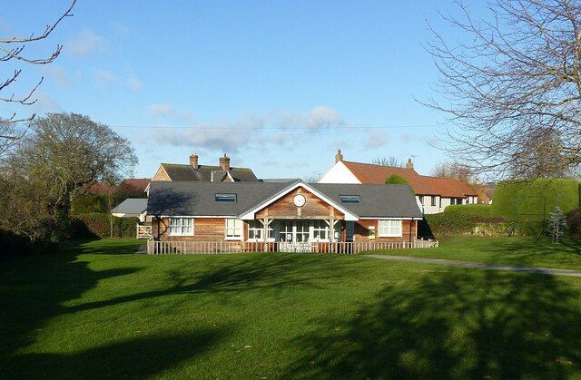
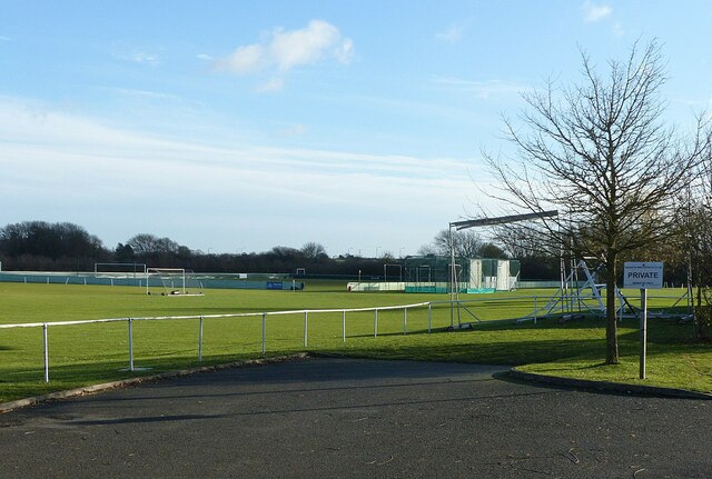
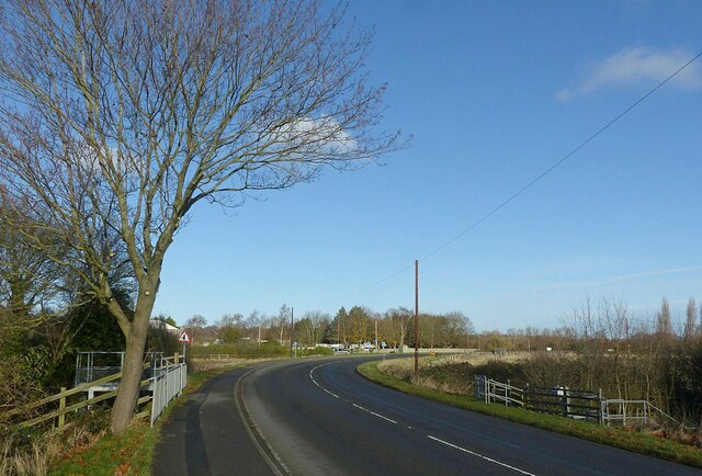
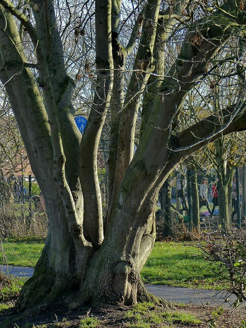
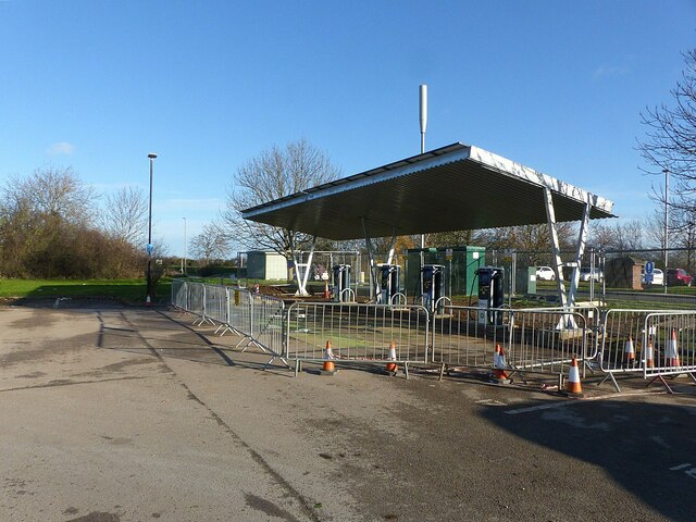
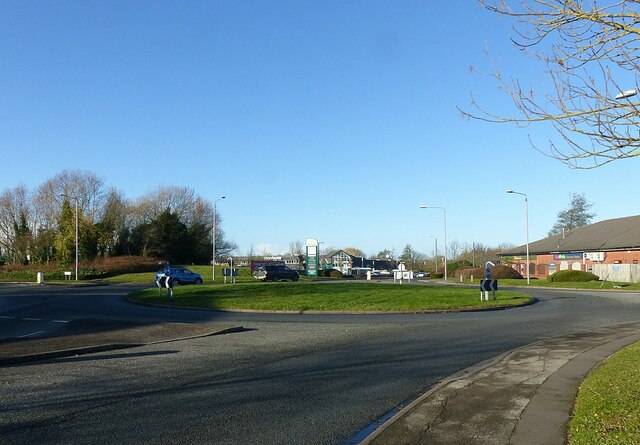
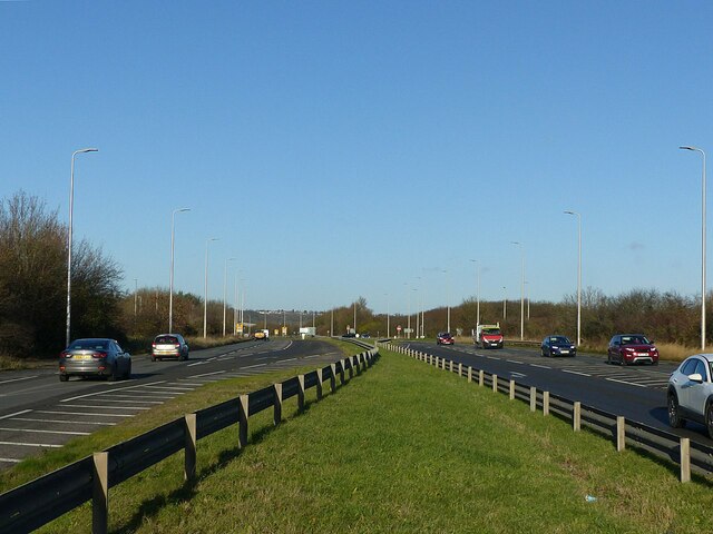
Bassingfield Images

Images are sourced within 2km of 52.929081/-1.081343 or Grid Reference SK6137. Thanks to Geograph Open Source API. All images are credited.

Grantham Canal Recreating this 'First' for the square <a title="https://www.geograph.org.uk/photo/51950" href="https://www.geograph.org.uk/photo/51950">Link</a>
Grantham Canal
Recreating this 'First' for the square Link
I 'specs someone is missing these Abandoned spectacles alongside the Grantham Canal at Tollerton Road.
I 'specs someone is missing these
Abandoned spectacles alongside the Grantham Canal at Tollerton Road.
Gamston Cycleway Recreating this 'First' for the square <a title="https://www.geograph.org.uk/photo/51948" href="https://www.geograph.org.uk/photo/51948">Link</a>

This links Gamston and Nottingham with the Grantham Canal towpath. Here it follows the original line of Bassingfield Lane prior to the construction of the Lings Bar section of the A52.
Gamston Cycleway
Recreating this 'First' for the square Link This links Gamston and Nottingham with the Grantham Canal towpath. Here it follows the original line of Bassingfield Lane prior to the construction of the Lings Bar section of the A52.
Old Tollerton Road The heart of the small village of Gamston before the late 20th century housing estate was developed.
Old Tollerton Road
The heart of the small village of Gamston before the late 20th century housing estate was developed.
Telephone kiosk and fingerpost As with many such kiosks, it has been taken over by the parish council, in this instance as an information centre. The fingerpost is a traditional Nottinghamshire County Council style.
Telephone kiosk and fingerpost
As with many such kiosks, it has been taken over by the parish council, in this instance as an information centre. The fingerpost is a traditional Nottinghamshire County Council style.
Gamston Village Hall Timber building set in an attractive green.
Gamston Village Hall
Timber building set in an attractive green.
Gamston Village postbox, ref NG2 38 Standard VR wall box with wider mouth in typical projecting brickwork of the period.
Gamston Village postbox, ref NG2 38
Standard VR wall box with wider mouth in typical projecting brickwork of the period.
Hall Farmhouse, Gamston Brick and stone farmhouse dating from the 18th and 19th centuries, Listed Grade II.
Hall Farmhouse, Gamston
Brick and stone farmhouse dating from the 18th and 19th centuries, Listed Grade II.
Manor Farmhouse, Gamston An attractive early 19th century house, long divorced from any farming activity.
Manor Farmhouse, Gamston
An attractive early 19th century house, long divorced from any farming activity.
Stone circle, Gamston Nothing ancient about this; it forms part of the Ambleside Play Park.
Stone circle, Gamston
Nothing ancient about this; it forms part of the Ambleside Play Park.
Not a Raging Bull Timber sculpture in the Ambleside Play Park, Gamston.
Not a Raging Bull
Timber sculpture in the Ambleside Play Park, Gamston.
Regatta Way, West Bridgford The island provides a crossing point for the cycle route which changes sides at this point.
Regatta Way, West Bridgford
The island provides a crossing point for the cycle route which changes sides at this point.
Regatta Way Sports Club, West Bridgford A sign at the entrance shows that it is home to Gedling & Sherwood Cricket Club, West Bridgford Colts FC and Gedling Colliery Cricket Club and the Gamston Cricket Academy. There are three separate football grounds and two cricket grounds.
Regatta Way Sports Club, West Bridgford
A sign at the entrance shows that it is home to Gedling & Sherwood Cricket Club, West Bridgford Colts FC and Gedling Colliery Cricket Club and the Gamston Cricket Academy. There are three separate football grounds and two cricket grounds.
Regatta Way, West Bridgford Looking towards the junction with Adbolton Lane.
Regatta Way, West Bridgford
Looking towards the junction with Adbolton Lane.
Ash tree alongside the Grantham Canal This looks to have regrown from the stump of a tree felled many years ago.
Ash tree alongside the Grantham Canal
This looks to have regrown from the stump of a tree felled many years ago.
New electric car charging point, Gamston retail centre Nearly ready to go into service.
New electric car charging point, Gamston retail centre
Nearly ready to go into service.
Roundabout at Beckside and Ambleside Also the entrance to the Morrison's superstore.
Roundabout at Beckside and Ambleside
Also the entrance to the Morrison's superstore.
A52 Lings Bar Road This was the final section of the A52 Nottingham southern ring road to be built.
A52 Lings Bar Road
This was the final section of the A52 Nottingham southern ring road to be built.
Show me another place!

Bassingfield is located at Grid Ref: SK6137 (Lat: 52.929081, Lng: -1.081343)

Administrative County: Nottinghamshire

District: Rushcliffe

Police Authority: Nottinghamshire

What 3 Words

///keen.liked.deputy. Near West Bridgford, Nottinghamshire

Nearby Locations

Bassingfield Holme Lane

Related Wikis

Bassingfield

Bassingfield is a hamlet in Nottinghamshire, England. It is located 3 miles (4.8 km) south east of Nottingham, close to the A52. It is in the civil parish...
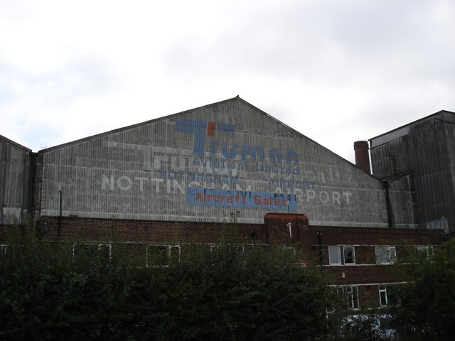
Nottingham Airport

Nottingham Airport (IATA: NQT, ICAO: EGBN), also known as Nottingham City Airport, is located in Tollerton, Nottinghamshire, England. It is situated 3...

Nottinghamshire County Rowing Association

Nottinghamshire County Rowing Association abbreviated NCRA is a rowing club based at the Holme Pierrepont National Watersports Centre in Nottingham....

Gamston, Rushcliffe

Gamston is a village, civil parish and suburb of West Bridgford, in the Rushcliffe district of Nottinghamshire, England. The population of the civil parish...

West Bridgford F.C.

West Bridgford Football Club are a football club based in West Bridgford, Nottinghamshire, England. They are currently members of the United Counties League...

Holme Pierrepont National Watersports Centre

Holme Pierrepont Country Park, home of The National Water Sports Centre is located in the hamlet of Holme Pierrepont near Nottingham, England and on the...

Adbolton

Adbolton is a village in the English county of Nottinghamshire on the south bank of the River Trent one mile west of Holme Pierrepont.Adbolton was listed...

National Cycle Route 15

National Cycle Route 15 is part of the National Cycle Network in the East Midlands which, when complete, will run from National Cycle Route 1 near Tattershall...

Nearby Amenities

Located within 500m of 52.929081,-1.081343
Note: former bridge
Lat/Long: 52.9271113/-1.0852854
Bassingfield
Is In: Nottinghamshire
Place: hamlet
Wikidata: Q4868155
Wikipedia: en:Bassingfield
Lat/Long: 52.9298994/-1.079979
Barrier: cycle_barrier
Lat/Long: 52.9284145/-1.0786488
Post Box
Collection Times: Mo-Fr 16:00; Sa 11:00
Post Box Type: wall
Ref: NG12 11
Royal Cypher: VR
Royal Cypher Wikidata: Q33102356
Source: survey
Lat/Long: 52.9298483/-1.0805722
Note: staggared barriers remain to the side, but the gate has been missing for a few years
Old Barrier: gate
Lat/Long: 52.9284374/-1.0785195
Bassingfield Wood Yard
Addr City: Nottingham
Addr Housename: Lea Farm
Addr Postcode: NG12 2LG
Addr Street: Bassingfield Lane
Phone: +44 115 9816654
Shop: timber
Website: https://www.bassingfieldwoodyard.co.uk
Lat/Long: 52.9301819/-1.0835303
Waste Basket
Waste: dog_excrement
Lat/Long: 52.9294112/-1.0793752
Waste Basket
Waste: trash
Lat/Long: 52.9294585/-1.0794148
Bench
Backrest: yes
Lat/Long: 52.929469/-1.0794275
The data included in this document is from www.openstreetmap.org. The data is made available under ODbL.

Have you been to Bassingfield?

Leave your review of Bassingfield below (or comments, questions and feedback).