Lossit Bay

Bay in Argyllshire

Scotland

Lossit Bay

Road Lossit
Road Lossit Credit: thejackrustles

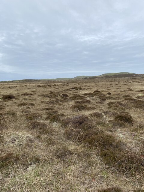
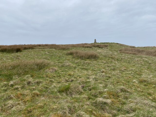
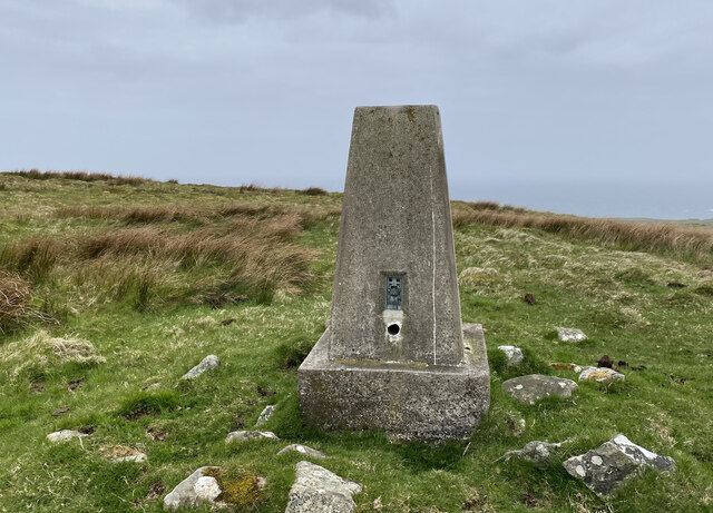
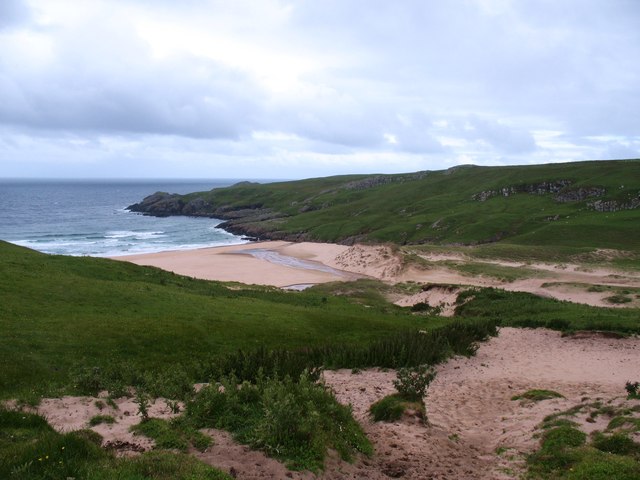
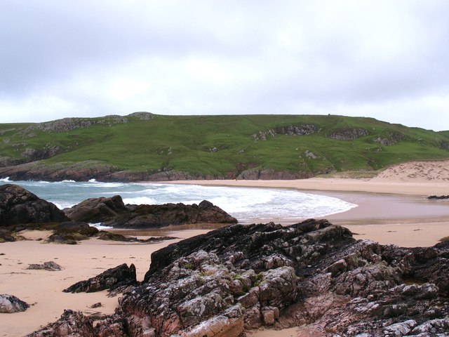
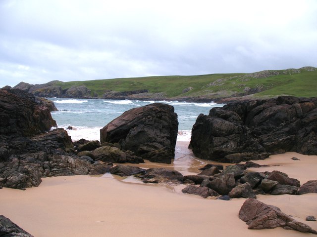
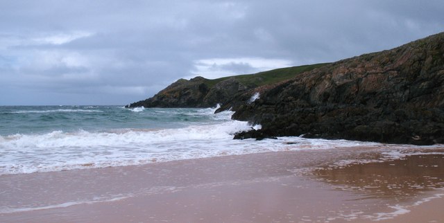
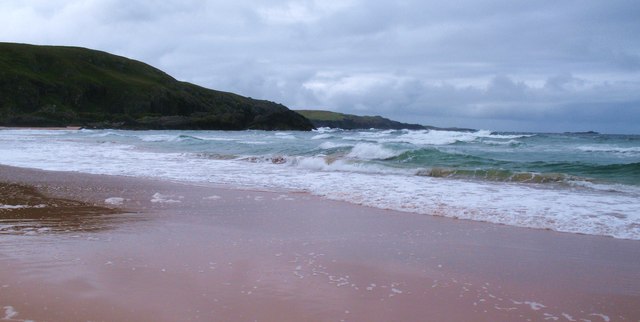
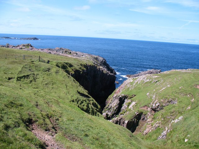
Lossit Bay is a picturesque bay located in Argyllshire, Scotland. Situated on the west coast of the Isle of Islay, it is known for its stunning natural beauty and pristine sandy beaches. The bay is nestled between towering cliffs on either side, providing a secluded and tranquil atmosphere for visitors.

The beach at Lossit Bay stretches for approximately one mile and is composed of fine golden sand, making it a perfect spot for sunbathing and relaxation. The crystal-clear turquoise waters of the bay are ideal for swimming, and the bay is also popular among surfers who enjoy the occasional swell.

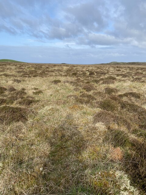
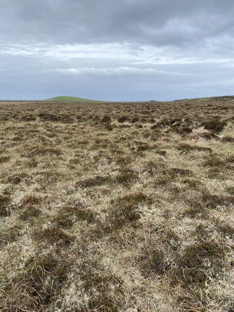
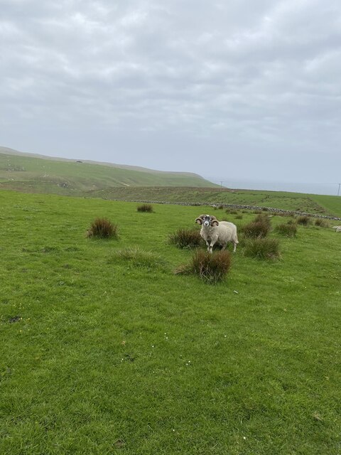
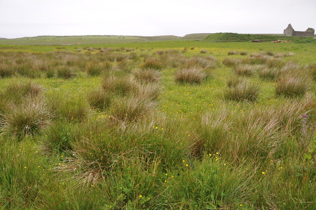
The area surrounding Lossit Bay is rich in wildlife and natural wonders. The bay is home to various bird species, including oystercatchers and sandpipers, making it a haven for birdwatching enthusiasts. Seals are often spotted basking on the rocks, and dolphins and porpoises can occasionally be seen frolicking in the bay's waters.

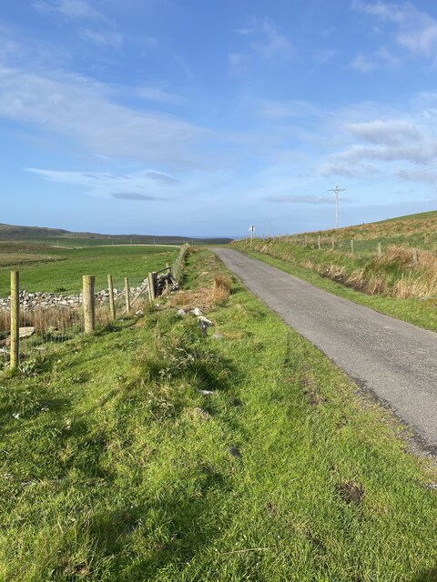
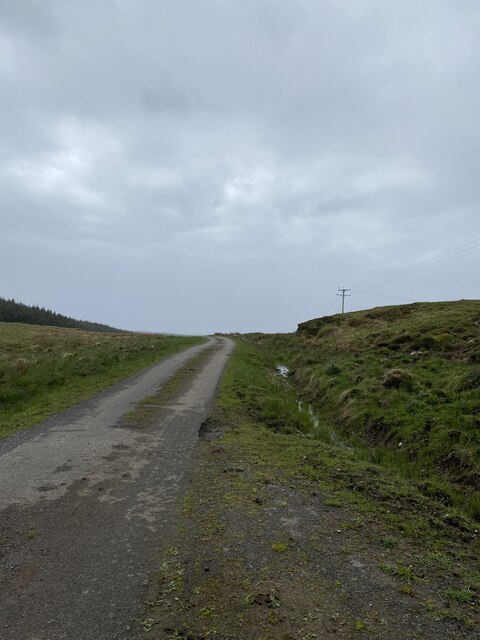
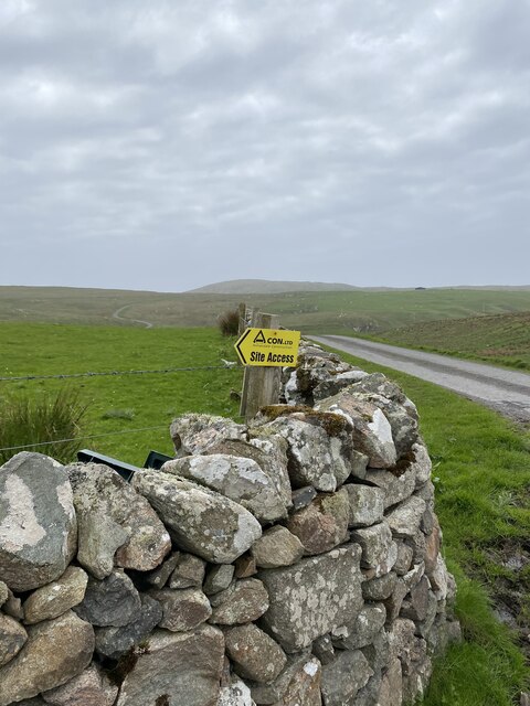
The bay is accessible via a short walk from the nearby village of Lossit. There are no facilities at the bay itself, so visitors are advised to bring their own provisions. However, the lack of amenities adds to the untouched and unspoiled charm of Lossit Bay.

For those seeking a peaceful and idyllic coastal experience, Lossit Bay in Argyllshire offers a beautiful and unspoiled retreat, where visitors can immerse themselves in the natural beauty of the Scottish coastline.

If you have any feedback on the listing, please let us know in the comments section below.
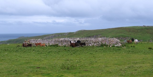
Lossit Bay Images

Images are sourced within 2km of 55.711866/-6.4962012 or Grid Reference NR1755. Thanks to Geograph Open Source API. All images are credited.

Road Lossit
Road Lossit
Heading towards Beinn Seasaimh
Remains of fenceline near Beinn Seasaimh Lots of fencing on the 1:25k map is now none existent.
Remains of fenceline near Beinn Seasaimh
Lots of fencing on the 1:25k map is now none existent.
Moorland views
Moorland views
Moorland views
Moorland views
On the way to Ben Cladville
Ben Cladville Trig Point Flush Bracket S9291
Road near Ellister
Road near Ellister
Sheep on Kelsey Farm
Entrance to Kelsay Farm
Rough grazing, Cladwell, Islay Rough grazing with clumps of reedy grass, derelict building to right.
Rough grazing, Cladwell, Islay
Rough grazing with clumps of reedy grass, derelict building to right.
Grass covered dunes above Lossit Bay The dune system at Lossit Bay is more extensive than as shown on the OS map and must reach to the 40m contour on the SE approach to the beach.
Grass covered dunes above Lossit Bay
The dune system at Lossit Bay is more extensive than as shown on the OS map and must reach to the 40m contour on the SE approach to the beach.
Cattle by the sheepfold Walking this way to Lossit Bay one must tread carefully past the big Limousin bull and the cows with calves.
Cattle by the sheepfold
Walking this way to Lossit Bay one must tread carefully past the big Limousin bull and the cows with calves.
Lossit Bay Beautiful sandy bay on a remote stretch of the Rinns coast.
Lossit Bay
Beautiful sandy bay on a remote stretch of the Rinns coast.
Lossit Bay Otter tracks were visible in the sand between these rocks on the south side of the bay.
Lossit Bay
Otter tracks were visible in the sand between these rocks on the south side of the bay.
Lossit Bay The view towards the headland from the north end of the beach.
Lossit Bay
The view towards the headland from the north end of the beach.
Lossit Bay The view along the strand line from the northern end of the beach. A July morning, but with a stiff northerly wind, so hardly sunbathing conditions.
Lossit Bay
The view along the strand line from the northern end of the beach. A July morning, but with a stiff northerly wind, so hardly sunbathing conditions.
Geo on the Rinns coast Deep ravine or geo on the coast near Eilean Cam. Progress along this coast is helped by a stile over the fence to the left.
Geo on the Rinns coast
Deep ravine or geo on the coast near Eilean Cam. Progress along this coast is helped by a stile over the fence to the left.
Show me another place!

Lossit Bay is located at Grid Ref: NR1755 (Lat: 55.711866, Lng: -6.4962012)

Unitary Authority: Argyll and Bute

Police Authority: Argyll and West Dunbartonshire

What 3 Words

///continues.replaces.unfolds. Near Portnahaven, Argyll & Bute

Related Wikis

Islay LIMPET

Islay LIMPET was the world's first commercial wave power device and was connected to the United Kingdom's National Grid. == History == Islay LIMPET (Land...

Easter Ellister

Easter Ellister (Aolastradh) is a settlement on the Rinns of Islay on Islay in the Inner Hebrides of Scotland. It lies just off the A847 road between Portnahaven...

Portnahaven

Portnahaven (Scottish Gaelic: Port na h-Abhainne, meaning river port) is a village on Islay in the Inner Hebrides, Scotland. The village is within the...

Eilean Mhic Coinnich

Eilean Mhic Coinnich, also known as Mackenzie Island (although recorded on the Land Register as McKenseys Island), is an uninhabited island of 17.3 hectares...

Nearby Amenities

Located within 500m of 55.711866,-6.4962012
Source: PGS
Lat/Long: 55.7161277/-6.4949151
Source: PGS
Lat/Long: 55.7151439/-6.4959666
Source: PGS
Lat/Long: 55.7124796/-6.4963684
Source: PGS
Lat/Long: 55.7123402/-6.4962868
Lossit Bay
Natural: bay
Lat/Long: 55.7143401/-6.4987835
The data included in this document is from www.openstreetmap.org. The data is made available under ODbL.

Have you been to Lossit Bay?

Leave your review of Lossit Bay below (or comments, questions and feedback).