Oisgill Bay
Bay in Inverness-shire
Scotland
Oisgill Bay
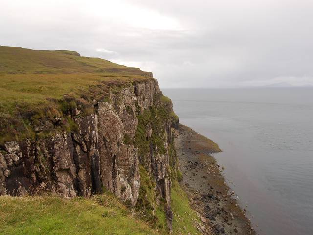
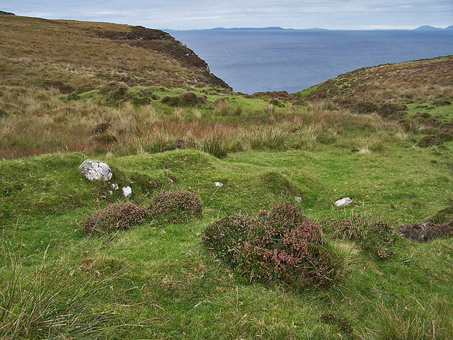
Oisgill Bay is a picturesque bay located in the region of Inverness-shire, Scotland. Situated on the northwest coast of the country, the bay offers stunning views of the surrounding landscapes and the open waters of the North Atlantic Ocean.
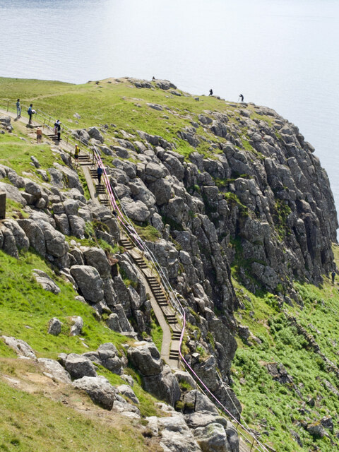
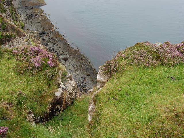
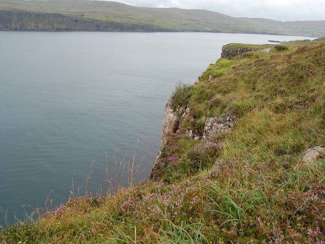
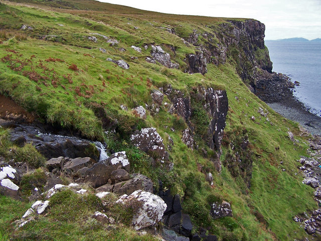
The bay is characterized by its rugged coastline, which features rocky cliffs and small pebble beaches. The area is known for its dramatic tides, which can create powerful currents and changing water levels throughout the day. This makes Oisgill Bay a popular spot for outdoor enthusiasts, including kayakers, surfers, and wildlife enthusiasts.
In terms of wildlife, Oisgill Bay is home to a diverse range of species. Seals can often be spotted lounging on the rocky outcrops, while seabirds such as puffins and gannets can be seen diving into the water in search of fish. Dolphins and whales are also occasionally seen in the bay, making it a truly remarkable place for marine wildlife observation.
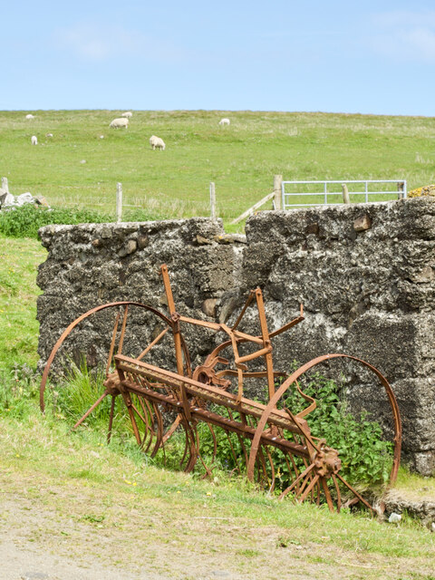
Aside from its natural beauty, Oisgill Bay also has historical significance. The area was once a thriving fishing village, with evidence of human habitation dating back centuries. Today, visitors can explore the ruins of old fishing huts and learn about the area's past through informative signage.
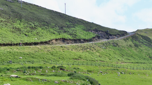
Access to Oisgill Bay is relatively easy, with a small parking area available for visitors. The bay is also part of a larger coastal trail, offering opportunities for long walks and hikes along the stunning shoreline. Overall, Oisgill Bay is a must-visit destination for those seeking natural beauty, wildlife encounters, and a glimpse into Scotland's rich history.
If you have any feedback on the listing, please let us know in the comments section below.
Oisgill Bay Images
Images are sourced within 2km of 57.446115/-6.7835268 or Grid Reference NG1349. Thanks to Geograph Open Source API. All images are credited.


Oisgill Bay is located at Grid Ref: NG1349 (Lat: 57.446115, Lng: -6.7835268)
Unitary Authority: Highland
Police Authority: Highlands and Islands
What 3 Words
///fall.magnitude.loitering. Near Glendale, Highland
Nearby Locations
Related Wikis

Milovaig
Milovaig (Scottish Gaelic: Mìolabhaig), comprises two small scattered, mixed crofting and residential townships, consisting of Lower Milovaig to the North...
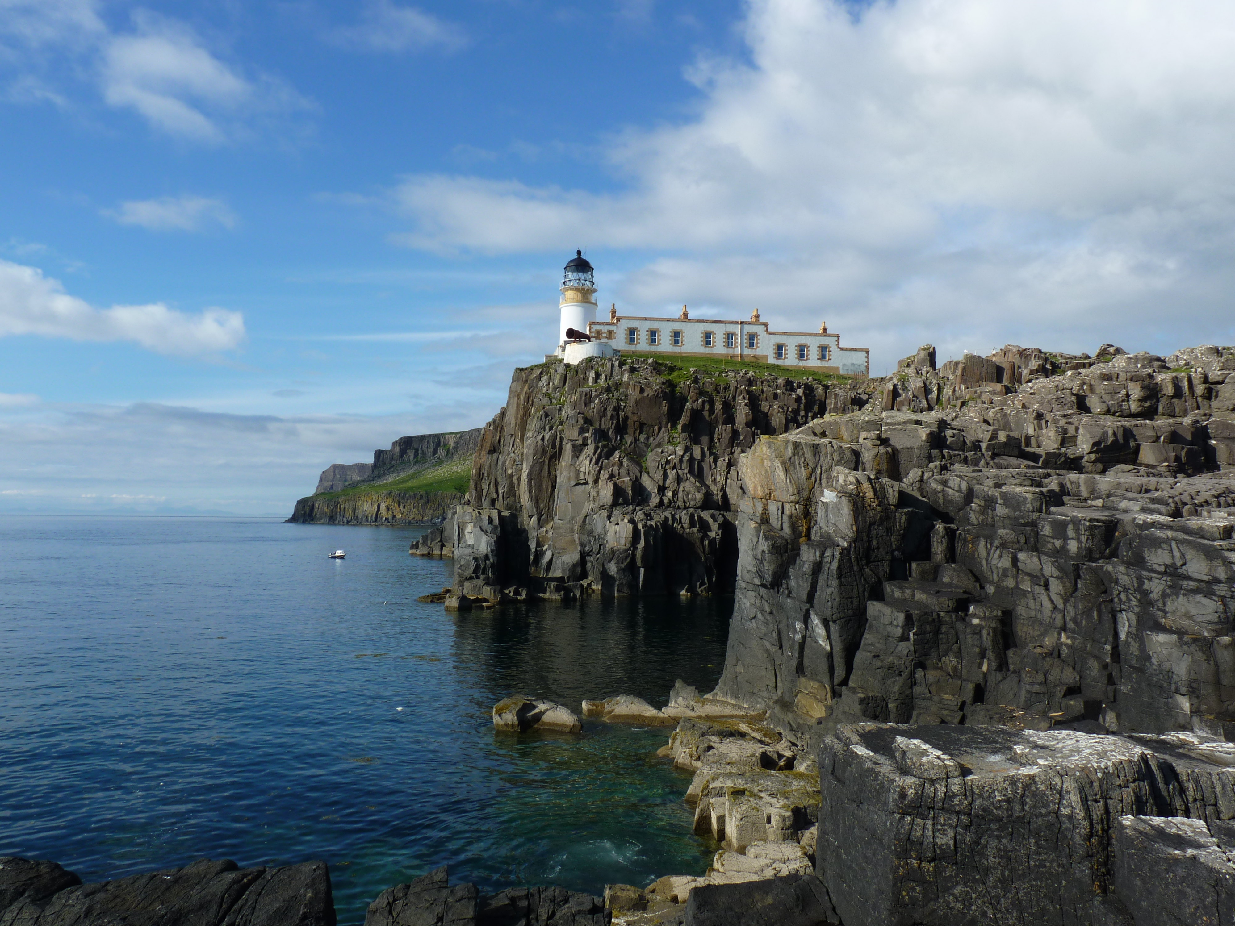
Neist Point Lighthouse
Neist Point Lighthouse is a lighthouse located on Neist Point on the Isle of Skye in Scotland. It was designed by David Alan Stevenson and was first lit...
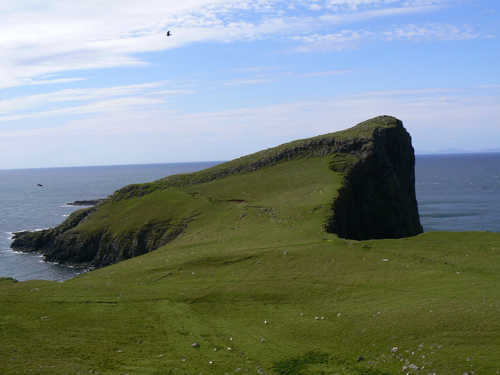
Neist Point
Neist Point (Scottish Gaelic: Rubha na h-Eist) is a viewpoint on the most westerly point of Skye. Neist Point Lighthouse has been located there since...
Borrodale
Borrodale (Scottish Gaelic: Borodail) is small hamlet on the Isle of Skye, in the Inner Hebrides of Scotland. Borrodale is part of Glendale and the Glendale...

Glendale, Skye
Glendale (Scottish Gaelic: Gleann Dail) is a community-owned estate on the north-western coastline of the Duirinish peninsula on the island of Skye and...
Feriniquarrie
Feriniquarrie (Scottish Gaelic: Fearann MhicGuaire) is a remote scattered crofting township, situated close to Glendale, on the Duirinish peninsula, in...

Fasach
Fasach (Scottish Gaelic: Fàsach) is a crofting settlement in Glendale on the Duirinish peninsula of the Isle of Skye, Scottish Highlands and is in the...
Ramasaig
Ramasaig is a small township on the western shore of the Duirinish peninsula, on Dunvegan, Isle of Skye and is in the Scottish Highlands and is in the...
Have you been to Oisgill Bay?
Leave your review of Oisgill Bay below (or comments, questions and feedback).