Am Bàgh

Bay in Inverness-shire

Scotland

Am Bàgh

Taransay/Tarasaigh from the road side at Sheileboist
Taransay/Tarasaigh from the road side at Sheileboist Credit: Sandy Gerrard

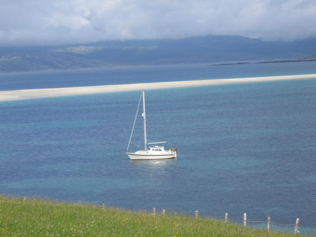
Am Bàgh, also known as the Bay, is a picturesque coastal area located in Inverness-shire, Scotland. Situated on the west coast of the Scottish Highlands, it is known for its stunning natural beauty and tranquil atmosphere. The bay stretches along the shores of the North Atlantic Ocean, offering breathtaking views of the water and surrounding landscape.

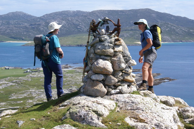
The area is characterized by its rugged terrain, with rocky cliffs and pebble beaches that add to its charm. The bay is surrounded by rolling hills and green fields, creating a striking contrast against the deep blue of the ocean. It is a popular destination for nature enthusiasts and outdoor lovers, offering a range of activities such as hiking, birdwatching, and fishing.

Am Bàgh is also home to a diverse range of wildlife, including various bird species and marine life. Visitors may have the chance to spot seals, dolphins, and even whales in the bay's waters. The surrounding area is rich in flora and fauna, with wildflowers and heather covering the landscape during the summer months.

The bay is located near the village of Gairloch, which provides amenities such as accommodations, restaurants, and shops for visitors. It is also a gateway to other attractions in the region, including the stunning Isle of Skye and the famous Loch Maree.

In summary, Am Bàgh in Inverness-shire is a captivating bay area that offers a combination of natural beauty, outdoor activities, and a peaceful atmosphere. It is a must-visit destination for those seeking a true Scottish coastal experience.

If you have any feedback on the listing, please let us know in the comments section below.
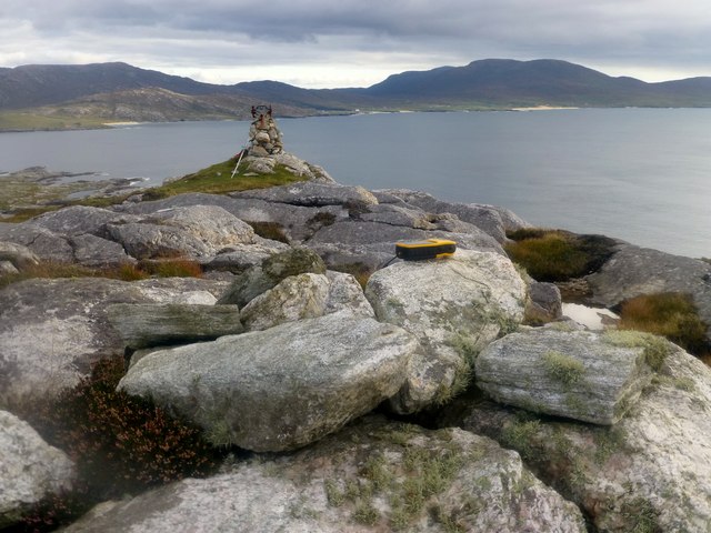
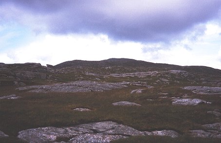
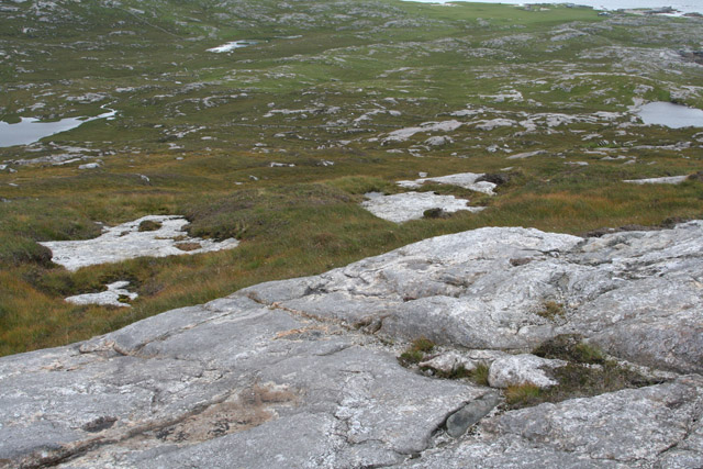
Am Bàgh Images

Images are sourced within 2km of 57.881487/-7.0152751 or Grid Reference NG0299. Thanks to Geograph Open Source API. All images are credited.

Taransay/Tarasaigh from the road side at Sheileboist
Beinn na h-Uidhe Bagged after Ben Raah with Alex Cameron, Jim Bloomer and Martin Richardson on a lovely sunny afternoon.
Name: Beinn na h-Uidhe
Hill number: 104394
Height: 137m / 449ft
Area: 24B: Harris and Nearby Islands
Class: 1
Grid ref: NB020004 (est)
Drop: 59m
Col: 78m  NB017012
Beinn na h-Uidhe
Bagged after Ben Raah with Alex Cameron, Jim Bloomer and Martin Richardson on a lovely sunny afternoon. Name: Beinn na h-Uidhe Hill number: 104394 Height: 137m / 449ft Area: 24B: Harris and Nearby Islands Class: 1 Grid ref: NB020004 (est) Drop: 59m Col: 78m NB017012
Lower Slopes Of Ben Raah [Beinn Rà] Climbing up the lower slopes of Ben Raah [Beinn Rà] on Taransay.
Lower Slopes Of Ben Raah [Beinn Rà]
Climbing up the lower slopes of Ben Raah [Beinn Rà] on Taransay.
Taransay/Tarasaigh from Seilebost About 3km across a calm, blue Sound of Taransay/Caolas Tharasaigh.
Taransay/Tarasaigh from Seilebost
About 3km across a calm, blue Sound of Taransay/Caolas Tharasaigh.
Lower slopes of Beinn Ra Much of Taransay is covered in a mixture of bare rock at an easy angle or thin peaty soil. The rock is Lewisian gneiss, of great age.
Lower slopes of Beinn Ra
Much of Taransay is covered in a mixture of bare rock at an easy angle or thin peaty soil. The rock is Lewisian gneiss, of great age.
Loch Cromlach (left) and Loch na Gaoithe (right), Taransay Loch Uir, (which is half in and half out of this grid square) is in the distance, left of centre. The shore near Paibell (location of the island's holiday cottages) is in the distance to the top right of the picture.
Taken from just below the summit of Benn na h-Uidhe.
Loch Cromlach (left) and Loch na Gaoithe (right), Taransay
Loch Uir, (which is half in and half out of this grid square) is in the distance, left of centre. The shore near Paibell (location of the island's holiday cottages) is in the distance to the top right of the picture. Taken from just below the summit of Benn na h-Uidhe.
Taransay North Harris Hills in distance.
Taransay
North Harris Hills in distance.
Beinn na h-Uidhe The Sound of Taransay and the Castaway site are visible beyond.
Beinn na h-Uidhe
The Sound of Taransay and the Castaway site are visible beyond.
The sands of Luskentyre This image was taken on Taransay, and shows the sound of Taransay, the sand dunes of Luskentyre and Beinn Dhubh Losgaintir in the background.
The sands of Luskentyre
This image was taken on Taransay, and shows the sound of Taransay, the sand dunes of Luskentyre and Beinn Dhubh Losgaintir in the background.
Old Mill, Allt na Muilne,Taransay Situated between Loch Shinnadale and Loch a'Chromlaich, the mill was operational until around 1840. Allt na Muilne was the only reliable stream on the island of Taransay as a dam had been built on Loch Shinnadale and the water could be rushed down the Allt (stream/burn) during dry periods.
Old Mill, Allt na Muilne,Taransay
Situated between Loch Shinnadale and Loch a'Chromlaich, the mill was operational until around 1840. Allt na Muilne was the only reliable stream on the island of Taransay as a dam had been built on Loch Shinnadale and the water could be rushed down the Allt (stream/burn) during dry periods.
Allt a'Ghill, Taransay A beautiful burn which runs into Corran Rà, an impressive sand spit on the Island of Taransay.
Allt a'Ghill, Taransay
A beautiful burn which runs into Corran Rà, an impressive sand spit on the Island of Taransay.
Old Mill, Allt a'Mhuilinn, Taransay
Slopes above Loch Uir, Taransay
Beach, Paible. Paible was the  site of the village on Taransay. Only a few buildings like the school still exist. The wind has got at the dunes here, eroding the machair.
Beach, Paible.
Paible was the site of the village on Taransay. Only a few buildings like the school still exist. The wind has got at the dunes here, eroding the machair.
Dùn, near Paible, Taransay
Ruins, Paible, Taransay Taransay has been uninhabited since 1974.
Ruins, Paible, Taransay
Taransay has been uninhabited since 1974.
Paible, Taransay Paible means 'Priest's Town where the first raiders of the island found a religious settlement.
Paible, Taransay
Paible means 'Priest's Town where the first raiders of the island found a religious settlement.
Clett Agrapaidh, Taransay These aspen trees are the only trees on Taransay. Being on a rock ledge, they are out of reach of grazing animals. Red Deer and sheep are present on the island.
Clett Agrapaidh, Taransay
These aspen trees are the only trees on Taransay. Being on a rock ledge, they are out of reach of grazing animals. Red Deer and sheep are present on the island.
Show me another place!

Am Bàgh is located at Grid Ref: NG0299 (Lat: 57.881487, Lng: -7.0152751)

Unitary Authority: Na h-Eileanan an Iar

Police Authority: Highlands and Islands

What 3 Words

///camcorder.topmost.sheds. Near Tarbert, Na h-Eileanan Siar

Related Wikis

Taransay

Taransay (Scottish Gaelic: Tarasaigh, pronounced [ˈt̪ʰaɾas̪aj]) is an island in the Outer Hebrides of Scotland. It was the host of the British television...

Luskentyre

Luskentyre (Scottish Gaelic: Losgaintir) is a sparse settlement on the west coast of Harris, in the Outer Hebrides, Scotland. Luskentyre is situated within...

Borve, Harris

Borve (Scottish Gaelic: Na Buirgh) is a village in Harris in the Outer Hebrides, Scotland. Borve is also within the parish of Harris, and is on the A859...

West Loch Tarbert

West Loch Tarbert (Scottish Gaelic: Loch A Siar) is a sea loch that separates the northern and southern parts of Harris in the Outer Hebrides of Scotland...

Soay Mòr

Soay Mòr (Scottish Gaelic: Sòdhaigh Mòr) is an island in West Loch Tarbert, between the northern and southern parts of Harris. The uninhabited island is...

Soay Beag

Soay Beag (Scottish Gaelic: Sòdhaigh Beag) is a small, uninhabited tidal island in West Loch Tarbert, between the northern and southern parts of Harris...

Soay Sound

Soay Sound (Scottish Gaelic: Caolas Shòdhaigh) is a strait separating the islands of Soay Mòr and Soay Beag from the northern part of Harris. The sound...

1990 Scotland RAF Shackleton crash

On 30 April 1990, a Royal Air Force Avro Shackleton AEW Mk II aircraft, of No. 8 Squadron RAF, based at RAF Lossiemouth, crashed into a hill on the Isle...

Nearby Amenities

Located within 500m of 57.881487,-7.0152751
Paibeil
Name En: Paible
Name Gd: Paibeil
Place: locality
Lat/Long: 57.8833886/-7.0101928
Am Bagh
Natural: bay
Lat/Long: 57.8818281/-7.0148285
Rubha nan Sgarbh
Natural: cape
Lat/Long: 57.8819137/-7.0162125
The data included in this document is from www.openstreetmap.org. The data is made available under ODbL.

Have you been to Am Bàgh?

Leave your review of Am Bàgh below (or comments, questions and feedback).