Baralòb

Bay in Inverness-shire

Scotland

Baralòb

Horsanais Point Quite a prominent headland in West Loch Tarbert. Ben Luskentyre centre and Isle Taransay to right of frame.
Horsanais Point Credit: JJM

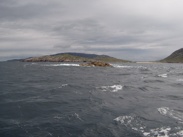
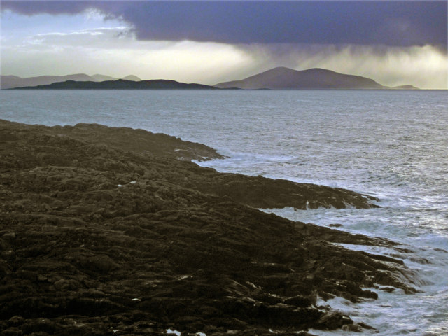
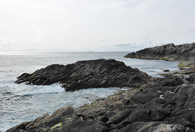
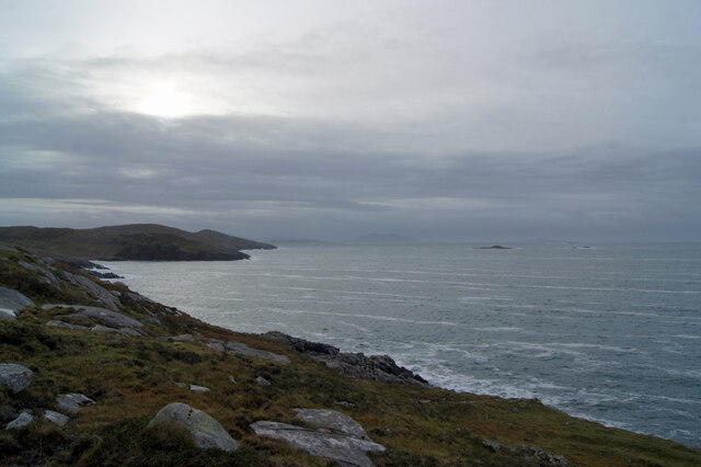
Baralòb, located in Inverness-shire, Scotland, is a picturesque bay renowned for its natural beauty and tranquil atmosphere. Nestled on the west coast of Scotland, this stunning bay is situated between the villages of Arisaig and Morar. The bay is a popular tourist destination, attracting visitors from all over the world to experience its scenic splendor and explore its surrounding attractions.

Baralòb Bay boasts pristine sandy beaches, crystal-clear turquoise waters, and breathtaking views of the surrounding mountains. The bay offers a range of outdoor activities such as swimming, snorkeling, kayaking, and sailing, making it an ideal destination for water sports enthusiasts. The bay also provides an excellent spot for beachcombing and relaxing walks along the shore.

The bay is also famous for its wildlife, with various species of birds, seals, and dolphins frequently spotted in the area. Nature lovers can enjoy birdwatching or take boat trips to catch a glimpse of these incredible creatures in their natural habitat.

In addition to the natural beauty, Baralòb is surrounded by charming villages that offer a taste of traditional Scottish culture and hospitality. Visitors can explore nearby attractions such as the Arisaig Marine and the Morar Estuary, which provide opportunities for scenic walks, fishing, and boat tours.

Overall, Baralòb Bay in Inverness-shire is a must-visit destination for those seeking a serene and idyllic coastal experience. Its stunning landscape, diverse wildlife, and nearby attractions make it a perfect retreat for nature enthusiasts and those looking to unwind in a peaceful setting.

If you have any feedback on the listing, please let us know in the comments section below.
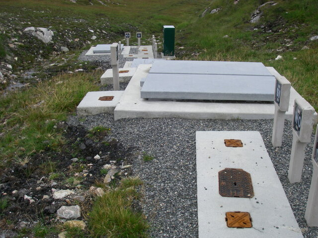
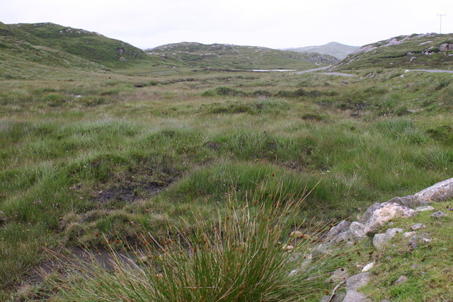
Baralòb Images

Images are sourced within 2km of 57.970065/-7.0814651 or Grid Reference NA9909. Thanks to Geograph Open Source API. All images are credited.

Horsanais Point Quite a prominent headland in West Loch Tarbert. Ben Luskentyre centre and Isle Taransay to right of frame.
Horsanais Point
Quite a prominent headland in West Loch Tarbert. Ben Luskentyre centre and Isle Taransay to right of frame.
Gloraig Huisinis Some might say the 'dreaded Huisinis Gloraigs' Strong tides prevail here and it does not take much strength of westerly wind to raise a nasty sea. The white sands of Huisinis Beach are prominent to the right of the frame and the Island of Scarp skyline can be seen in distance.
Gloraig Huisinis
Some might say the 'dreaded Huisinis Gloraigs' Strong tides prevail here and it does not take much strength of westerly wind to raise a nasty sea. The white sands of Huisinis Beach are prominent to the right of the frame and the Island of Scarp skyline can be seen in distance.
Looking south across Baralob to Toe Head The dark rocks around Baralob are run through by trenches of redder rocks
Looking south across Baralob to Toe Head
The dark rocks around Baralob are run through by trenches of redder rocks
Horsanish coastline
Horsanish coastline
Coast of North Harris Looking south from the side of the B887 just east of Huisinis.
Coast of North Harris
Looking south from the side of the B887 just east of Huisinis.
Water pipe access covers by the outflow of an unnamed loch on Àirde Beaga
Abandoned black houses at Beitearsaig
Communications mast near Gobhaig
Water pipe access covers at covered reservoir north-west of Gobhaig
Husinish Glorigs
Husinish Glorigs
Rubha Bhogha-sgeir Horsanish coastline.
Rubha Bhogha-sgeir
Horsanish coastline.
A bad hair day by the loch side
Blackhouse remains The remains of a couple of black houses in the valley leading down to Beitearsaig.
Blackhouse remains
The remains of a couple of black houses in the valley leading down to Beitearsaig.
Bàgh Hùisinis and Beitearsaig Looking towards Rhubh an Tòthain.
Bàgh Hùisinis and Beitearsaig
Looking towards Rhubh an Tòthain.
Ruined croft buildings South of Beitearsaig.
Ruined croft buildings
South of Beitearsaig.
Rubh' an Tòthain Viewed from the Huisinis road.
Rubh' an Tòthain
Viewed from the Huisinis road.
Old peat cuttings
Old peat cuttings
Burn on the road to Huisinis Looking up a small burn coming off the southern slope of Sròn a' Ghoirtein.
Burn on the road to Huisinis
Looking up a small burn coming off the southern slope of Sròn a' Ghoirtein.
Show me another place!

Baralòb is located at Grid Ref: NA9909 (Lat: 57.970065, Lng: -7.0814651)

Unitary Authority: Na h-Eileanan an Iar

Police Authority: Highlands and Islands

What 3 Words

///outdoors.manhole.essays. Near Tarbert, Na h-Eileanan Siar

Nearby Locations

Baralòb

Related Wikis

Hushinish

Huisinish or Hushinish (Scottish Gaelic Hùisinis) is a remote place on the west coast of Harris in the Outer Hebrides of Scotland. It lies at the end of...

Amhuinnsuidhe

Amhuinnsuidhe (Scottish Gaelic: Abhainn Suidhe) is a settlement on Harris, in the Outer Hebrides, Scotland. The settlement is also within the parish of...

Amhuinnsuidhe Castle

Amhuinnsuidhe Castle is a large 19th-century private country house on Harris, one of the Western Isles of Scotland. It was designated as a Category A listed...

Tiorga Mor

Tiorga Mor (679 m) is a mountain in Harris, in the Outer Hebrides of Scotland. The most westerly peak of the high mountains of Harris, it is a very rugged...

Nearby Amenities

Located within 500m of 57.970065,-7.0814651
Baralob
Natural: bay
Lat/Long: 57.9704045/-7.0822903
Àirde Beaga
Place: locality
Lat/Long: 57.9734583/-7.0788994
The data included in this document is from www.openstreetmap.org. The data is made available under ODbL.

Have you been to Baralòb?

Leave your review of Baralòb below (or comments, questions and feedback).