Little Milton

Settlement in Oxfordshire South Oxfordshire

England

Little Milton

Le Manoir Le Manoir aux Quat'Saisons hotel and restaurant
Le Manoir Credit: Nick Barber

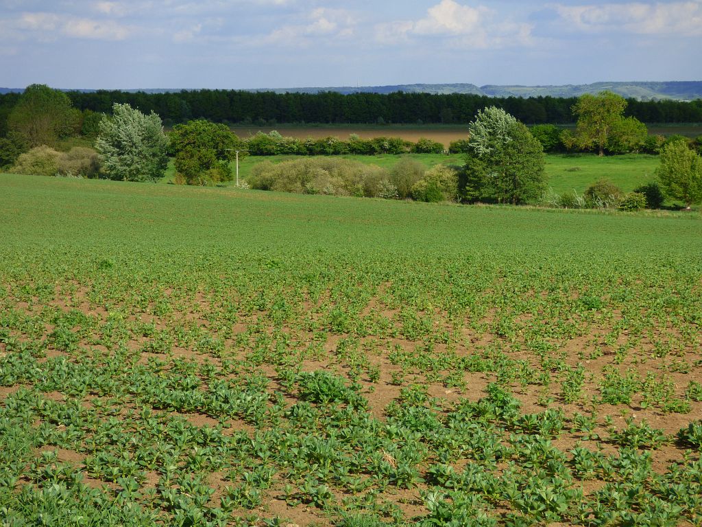
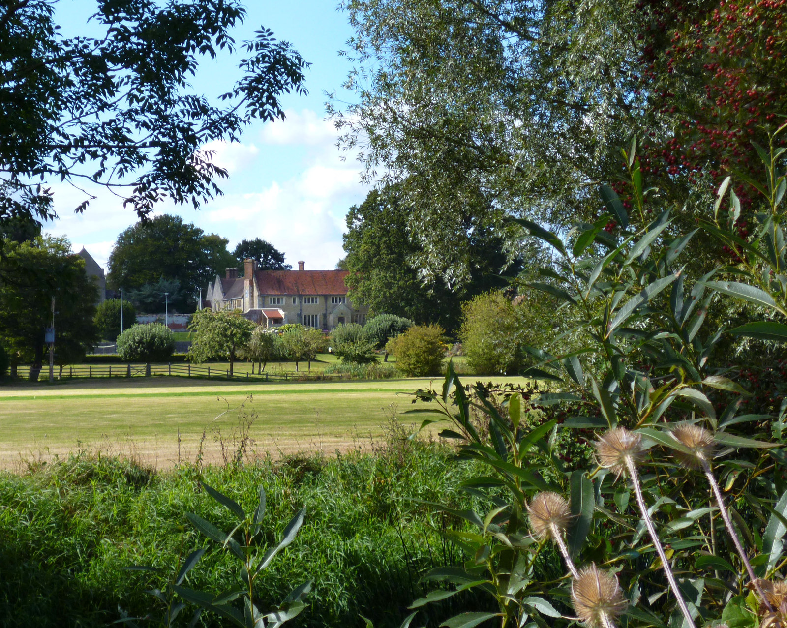
Little Milton is a charming village located in Oxfordshire, England. Situated about 10 miles southeast of Oxford, the village is known for its picturesque countryside views and traditional English architecture.

The village is home to a close-knit community of approximately 1,000 residents. Little Milton boasts a range of amenities, including a village hall, primary school, and local pub, providing residents with essential services and a sense of community.

Surrounded by rolling green hills and farmland, Little Milton offers ample opportunities for outdoor activities such as hiking, cycling, and horseback riding. The village is also in close proximity to the Chiltern Hills, an Area of Outstanding Natural Beauty, providing residents with access to stunning landscapes and wildlife.

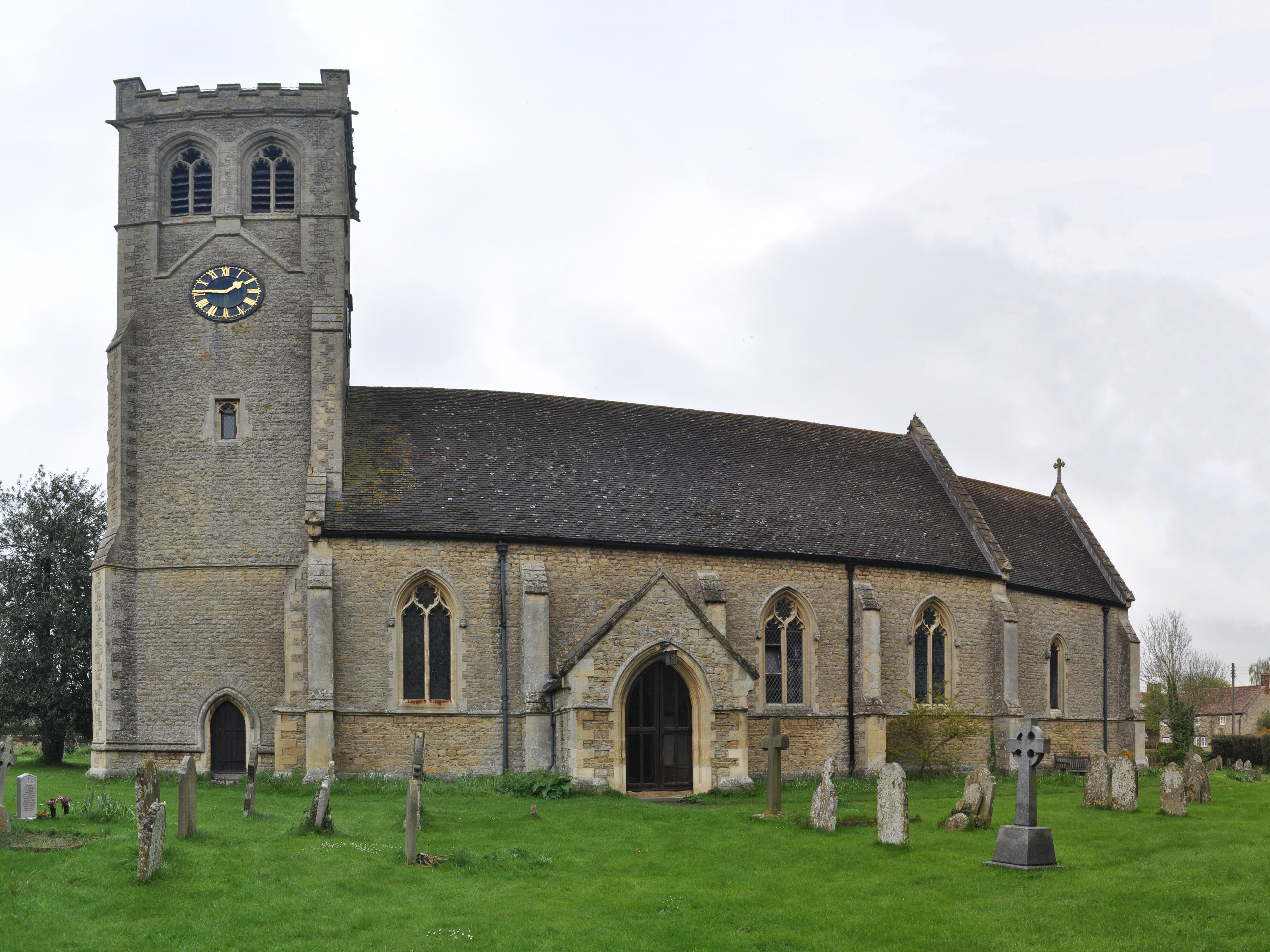
Little Milton has a rich history, with records dating back to the Domesday Book in the 11th century. Today, the village retains much of its historic charm, with many well-preserved buildings and landmarks to explore.

Overall, Little Milton is a peaceful and idyllic village, perfect for those seeking a quiet and rural lifestyle in the heart of the English countryside.

If you have any feedback on the listing, please let us know in the comments section below.

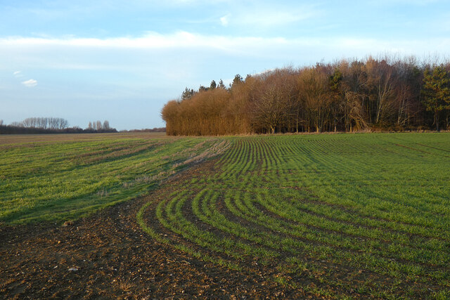
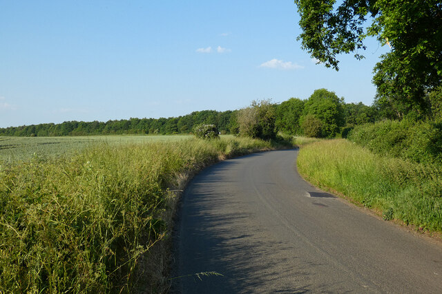
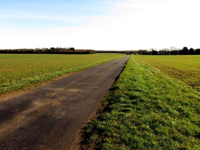
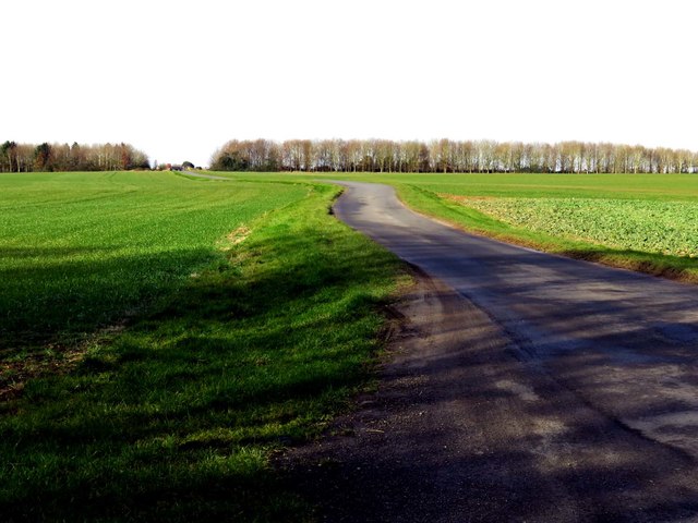
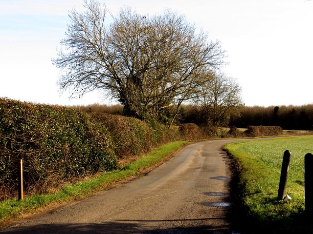
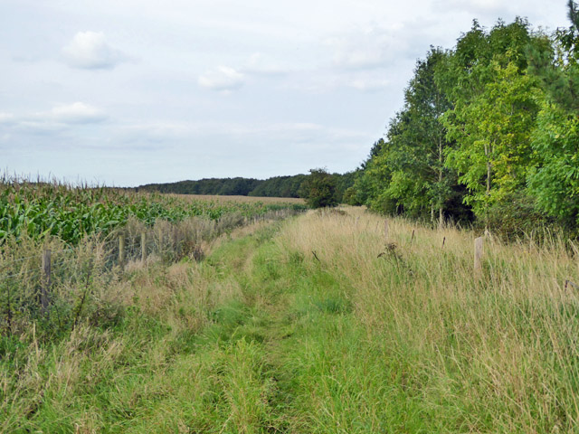
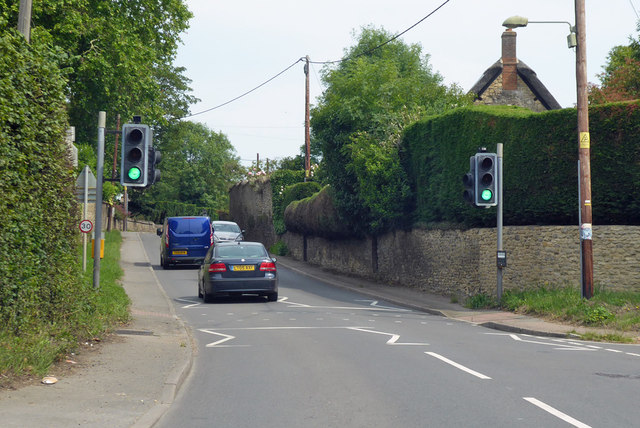
Little Milton Images

Images are sourced within 2km of 51.702601/-1.104961 or Grid Reference SP6100. Thanks to Geograph Open Source API. All images are credited.

Le Manoir Le Manoir aux Quat'Saisons hotel and restaurant
Le Manoir
Le Manoir aux Quat'Saisons hotel and restaurant
Copse and farmland, Great Haseley A flat landscape beside the road to the west of Little Haseley.
Copse and farmland, Great Haseley
A flat landscape beside the road to the west of Little Haseley.
Pasture, Great Milton A footpath crosses damp grassland beside the River Thame with arable land rising beyond.
Pasture, Great Milton
A footpath crosses damp grassland beside the River Thame with arable land rising beyond.
Farmland, Great Haseley Barley beside the bridleway at Sands Farm.
Farmland, Great Haseley
Barley beside the bridleway at Sands Farm.
Farmland, Little Milton Broadwater Planting and fields of wheat on ground rising to the east of the River Thame.
Farmland, Little Milton
Broadwater Planting and fields of wheat on ground rising to the east of the River Thame.
Farmland, Little Milton A crop of spring barley to the east of The Jenet (woodland).
Farmland, Little Milton
A crop of spring barley to the east of The Jenet (woodland).
Road, Little Milton A relatively modern section of the Chalgrove to Little Milton road dating from when the southern part of Rofford Lane was lost to Chalgrove Airfield.
Road, Little Milton
A relatively modern section of the Chalgrove to Little Milton road dating from when the southern part of Rofford Lane was lost to Chalgrove Airfield.
A rural road to Little Haseley
A field near Little Haseley
A rural road to Little HaseleyMilton
A rural road to Little Haseley
Bridleway to Great Milton A by-pass of Little Milton, the route taken by the road.
Bridleway to Great Milton
A by-pass of Little Milton, the route taken by the road.
Farmland, Little Milton A crop of wheat to the south of The Jenet.
Farmland, Little Milton
A crop of wheat to the south of The Jenet.
Farmland, Little Milton Fields of wheat to the south and west of Broadwater Planting.
Farmland, Little Milton
Fields of wheat to the south and west of Broadwater Planting.
Barn and farmland, Great Haseley A couple of new barns stand on the northern side of the bridleway with older ones to the south. Silage has been cut and baled.
Barn and farmland, Great Haseley
A couple of new barns stand on the northern side of the bridleway with older ones to the south. Silage has been cut and baled.
Farmland, Little Milton A crop of beans to the east of the village. The Stokenchurch Cutting in notable in the view of the Chiltern scarp.
Farmland, Little Milton
A crop of beans to the east of the village. The Stokenchurch Cutting in notable in the view of the Chiltern scarp.
Track and farmland, Little Milton The restricted byway climbing from Warren Barn Farm.
Track and farmland, Little Milton
The restricted byway climbing from Warren Barn Farm.
A329 through Little Milton Up Church Hill towards Thame.
A329 through Little Milton
Up Church Hill towards Thame.
Show me another place!

Little Milton is located at Grid Ref: SP6100 (Lat: 51.702601, Lng: -1.104961)

Administrative County: Oxfordshire

District: South Oxfordshire

Police Authority: Thames Valley

What 3 Words

///optimists.escalates.quack. Near Garsington, Oxfordshire

Related Wikis

Little Milton, Oxfordshire

Little Milton is a village and civil parish in Oxfordshire, about 6 miles (10 km) southwest of Thame and 7 miles (11 km) southeast of Oxford. The parish...

Wells Farm

Wells Farm is a 64-hectare (160-acre) nature reserve on the eastern outskirts of Little Milton in Oxfordshire. It is managed by the Berkshire, Buckinghamshire...

Chippinghurst Manor

Chippinghurst Manor is a Grade II listed country house in Oxfordshire, England.The name of "Chippinghurst" manor means "the hill of Cibba" and appeared...

Cuddesdon and Denton

Cuddesdon and Denton is a civil parish in the county of Oxfordshire, England. Forming part of South Oxfordshire district its main settlements are Cuddesdon...

Nearby Amenities

Located within 500m of 51.702601,-1.104961
Traffic Calming: chicane
Lat/Long: 51.7068834/-1.102788
Little Milton
Place: village
Source: OS_OpenData_StreetView
Wikidata: Q2439686
Wikipedia: en:Little Milton, Oxfordshire
Lat/Long: 51.7030487/-1.1053584
Barrier: stile
Foot: yes
Lat/Long: 51.6996184/-1.1073224
Post Office
Naptan AtcoCode: 340000474OPO
Naptan Bearing: NW
Naptan BusStopType: CUS
Naptan CommonName: Post Office
Naptan Indicator: Opposite
Naptan Landmark: Post Office
Naptan NaptanCode: oxfaptda
Naptan Street: Haseley Road
Naptan Verified: no
Source: naptan_import
Lat/Long: 51.7028999/-1.1054725
Bus Stop
Post Office
Bus: yes
Naptan AtcoCode: 340000474PO
Naptan Bearing: SE
Naptan CommonName: Post Office
Naptan Indicator: Outside
Naptan Landmark: Post Office
Naptan NaptanCode: oxfaptaw
Naptan Street: Haseley Road
Naptan Verified: no
Public Transport: platform
Source: naptan_import
Lat/Long: 51.702932/-1.1053159
Bus Stop
Old Field
Bus: yes
Naptan AtcoCode: 340001692OF
Naptan Bearing: SW
Naptan CommonName: Old Field
Naptan Indicator: Corner
Naptan Landmark: Old Field
Naptan NaptanCode: oxfgatja
Naptan Street: Thame Road
Naptan Verified: no
Public Transport: platform
Source: naptan_import
Lat/Long: 51.7060442/-1.1039198
Old Field
Naptan AtcoCode: 340001692OOF
Naptan Bearing: N
Naptan BusStopType: CUS
Naptan CommonName: Old Field
Naptan Indicator: Opposite Close
Naptan Landmark: Old Field
Naptan NaptanCode: oxfgatgw
Naptan Street: Thame Road
Naptan Verified: no
Source: naptan_import
Lat/Long: 51.7061892/-1.1040762
Power: pole
Lat/Long: 51.6991895/-1.1030929
Power: pole
Lat/Long: 51.6987373/-1.1036424
Crossing
Crossing: traffic_signals
Crossing Ref: pelican
Lat/Long: 51.7062986/-1.1037239
Power: pole
Source: Bing
Lat/Long: 51.7026654/-1.0993337
Power: pole
Source: Bing
Lat/Long: 51.7014693/-1.1005101
Power: pole
Source: Bing
Lat/Long: 51.7034805/-1.0983614
Power: pole
Source: Bing
Lat/Long: 51.6992713/-1.1006915
Power: pole
Source: Bing
Lat/Long: 51.6996883/-1.1013275
Power: pole
Source: Bing
Lat/Long: 51.7020701/-1.0999334
Telephone
Booth: K6
Covered: booth
Listed Status: Grade II
Operator: BT
Operator Wikidata: Q593786
Phone: +44 1844 279447
Lat/Long: 51.7025673/-1.1046266
Bench
Lat/Long: 51.7025623/-1.1046903
Post Box
Post Box Type: pillar
Royal Cypher: EIIR
Royal Cypher Wikidata: Q33102113
Lat/Long: 51.7026791/-1.1048962
Power: pole
Lat/Long: 51.7000916/-1.1019302
Crossing
Crossing: marked
Lat/Long: 51.7009294/-1.1069059
Direction: 155
Generator Method: photovoltaic
Generator Output Electricity: yes
Generator Solar Modules: 7
Generator Source: solar
Generator Type: solar_photovoltaic_panel
Location: roof
Power: generator
Lat/Long: 51.7028272/-1.1051001
Direction: 105
Generator Method: photovoltaic
Generator Output Electricity: yes
Generator Solar Modules: 10
Generator Source: solar
Generator Type: solar_photovoltaic_panel
Location: roof
Power: generator
Lat/Long: 51.7019853/-1.1062824
Direction: 190
Generator Method: photovoltaic
Generator Output Electricity: yes
Generator Solar Modules: 21
Generator Source: solar
Generator Type: solar_photovoltaic_panel
Location: roof
Power: generator
Lat/Long: 51.7020909/-1.1059984
Direction: 185
Generator Method: photovoltaic
Generator Output Electricity: yes
Generator Solar Modules: 48
Generator Source: solar
Generator Type: solar_photovoltaic_panel
Location: roof
Power: generator
Lat/Long: 51.7027721/-1.1065945
Parking
Lat/Long: 51.7035146/-1.105993
Direction: 120
Generator Method: photovoltaic
Generator Output Electricity: yes
Generator Solar Modules: 12
Generator Source: solar
Generator Type: solar_photovoltaic_panel
Location: roof
Power: generator
Lat/Long: 51.7056413/-1.1043826
Direction: 195
Generator Method: photovoltaic
Generator Output Electricity: yes
Generator Solar Modules: 21
Generator Source: solar
Generator Type: solar_photovoltaic_panel
Location: roof
Power: generator
Lat/Long: 51.7050536/-1.1027417
The data included in this document is from www.openstreetmap.org. The data is made available under ODbL.

Have you been to Little Milton?

Leave your review of Little Milton below (or comments, questions and feedback).