Bassenthwaite
Settlement in Cumberland Allerdale
England
Bassenthwaite
Bassenthwaite is a picturesque village located in the county of Cumberland, in the northwestern region of England. Situated on the shores of Bassenthwaite Lake, it is surrounded by the stunning landscapes of the Lake District National Park, making it a popular destination for nature lovers and outdoor enthusiasts.
The village itself is small and charming, with a population of around 300 residents. It retains its traditional character, with quaint stone buildings and a peaceful atmosphere. Visitors can enjoy a leisurely stroll through the village, taking in its scenic beauty and admiring the well-preserved architecture.
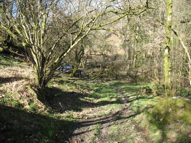
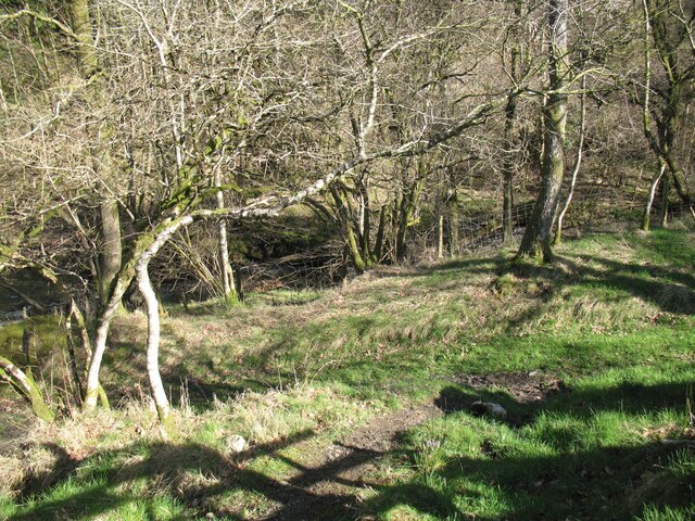
Bassenthwaite Lake, the only true lake in the Lake District, is a prominent feature of the area. Spanning approximately 4 miles long and 0.75 miles wide, it offers breathtaking views of the surrounding fells and mountains. The lake is known for its diverse wildlife, including otters, ospreys, and rare species of fish, making it a haven for birdwatchers and wildlife enthusiasts.
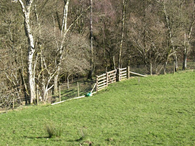
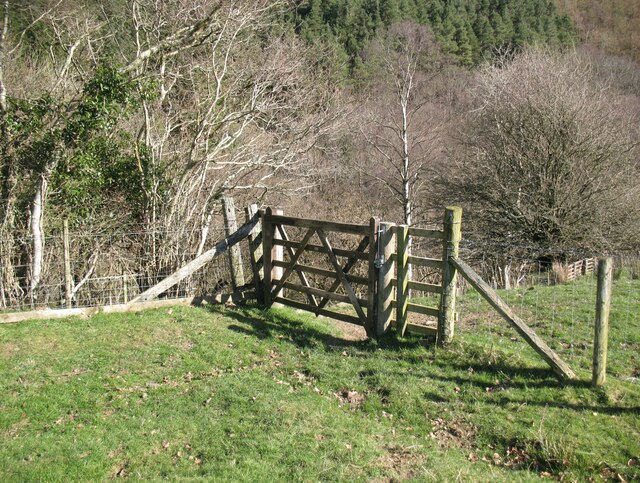
In addition to its natural beauty, Bassenthwaite offers a range of outdoor activities for visitors to enjoy. The area is a paradise for hikers, with numerous trails and paths meandering through the nearby fells and forests. Fishing is also popular on the lake, with anglers trying their luck at catching trout and pike.
For those seeking a more relaxed experience, Bassenthwaite has a few cozy pubs and tea rooms where visitors can indulge in traditional British fare and sample local beverages. The village also hosts various events throughout the year, including agricultural shows and craft fairs, which provide a glimpse into the local culture and traditions.
Overall, Bassenthwaite offers a tranquil escape in the heart of the Lake District, combining natural beauty, outdoor activities, and a warm village atmosphere. It is a hidden gem that showcases the best of rural England.
If you have any feedback on the listing, please let us know in the comments section below.
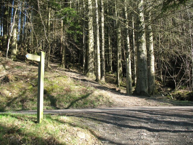
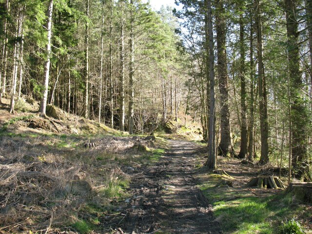
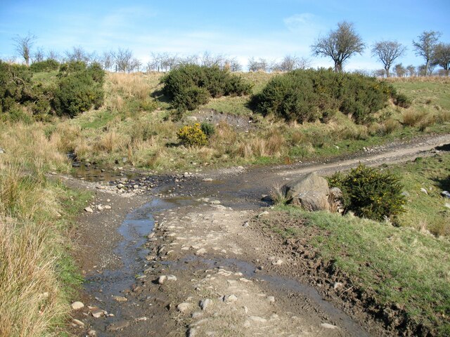
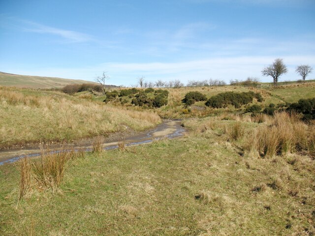
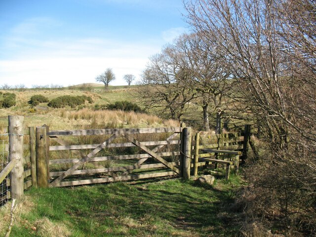
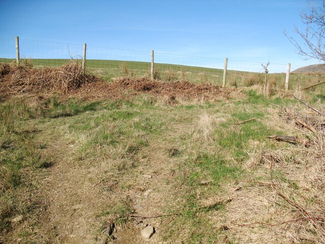
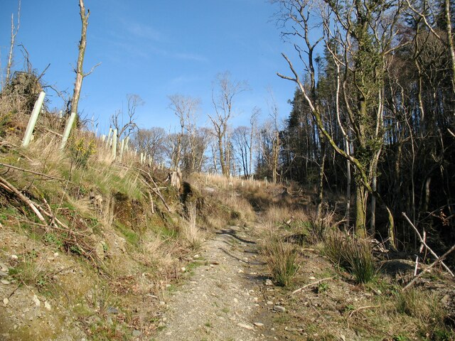
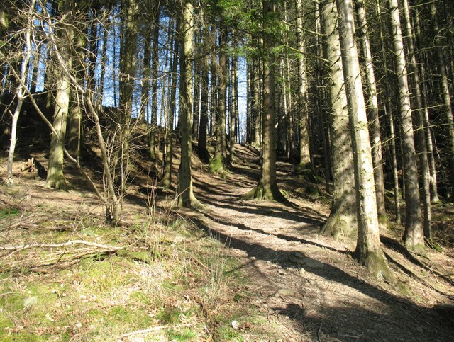
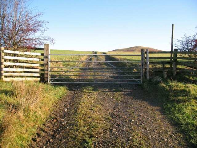
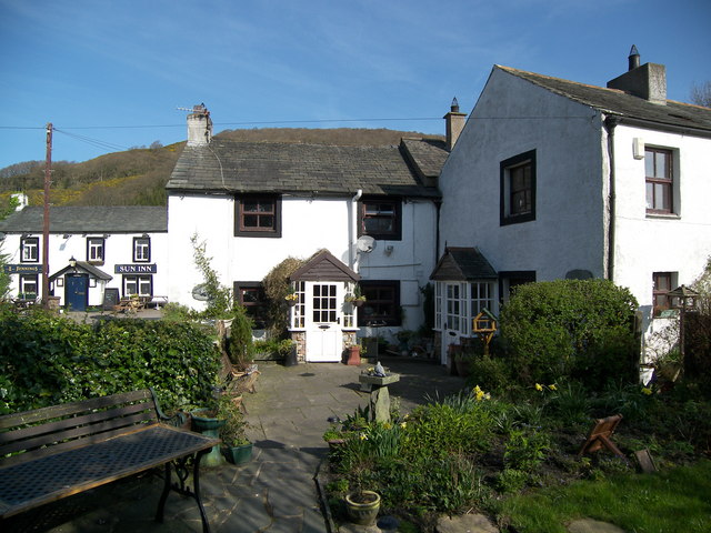
Bassenthwaite Images
Images are sourced within 2km of 54.678012/-3.19518 or Grid Reference NY2332. Thanks to Geograph Open Source API. All images are credited.


Bassenthwaite is located at Grid Ref: NY2332 (Lat: 54.678012, Lng: -3.19518)
Administrative County: Cumbria
District: Allerdale
Police Authority: Cumbria
What 3 Words
///emeralds.flaking.politics. Near Keswick, Cumbria
Nearby Locations
Related Wikis

St Bega's Way
St Bega's Way is a 36-mile (58 km) walk through rural West Cumbria and the north west corner of the English Lake District. It is usually completed as a...
Bassenthwaite
Bassenthwaite is a village and civil parish to the west of Bassenthwaite Lake in Cumbria, historically part of Cumberland, within the Lake District National...

Chapel, Cumbria
Chapel is a hamlet in the English county of Cumbria. Chapel is located on the A591 road between Bassenthwaite and Bassenthwaite Lake. The Cumbria Way crosses...

Bassenfell Manor
Bassenfell Manor is a manor house in Bassenthwaite, Cumbria, overlooking Bassenthwaite Lake in England's Lake District. It is used as a Christian residential...

Armathwaite Hall
Armathwaite Hall is a luxury hotel and spa adjacent to Bassenthwaite Lake, in Cumbria. == History == The present hall dates back to circa 1500; it was...

Overwater Hall
Overwater Hall is a country house near Ireby in Cumbria. It is a Grade II Listed building. == History == The house was built for Joseph Gillbanks, who...

Dash Valley
The Dash Valley is a small valley in the English Lake District. It has only one dwelling, Dash Farm, the fields of which spread right across the valley...
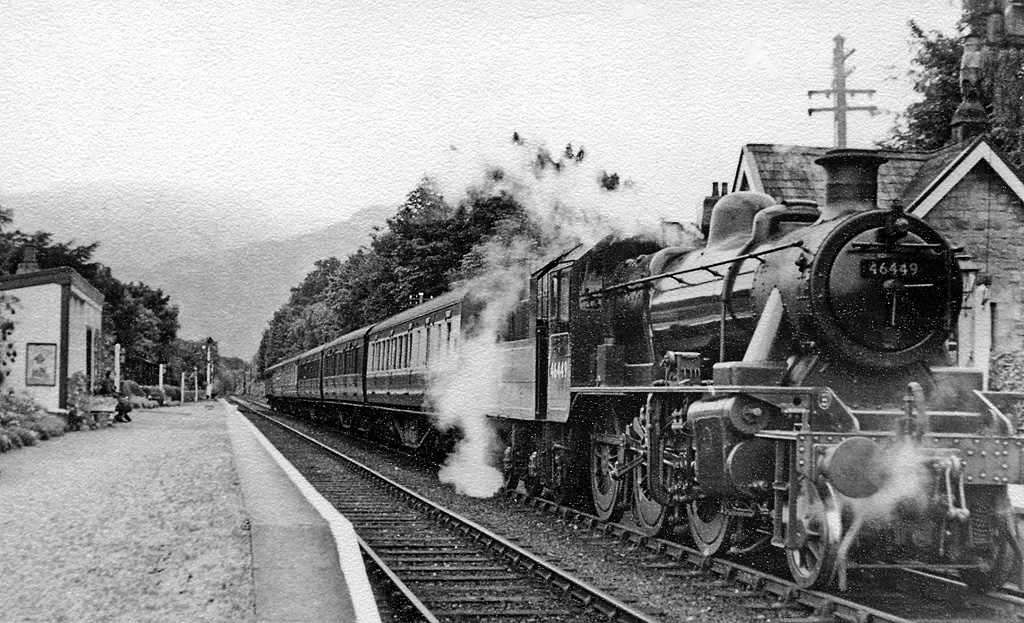
Bassenthwaite Lake railway station
Bassenthwaite Lake railway station was situated on the Cockermouth, Keswick and Penrith Railway between Penrith and Cockermouth in Cumbria, England. The...
Nearby Amenities
Located within 500m of 54.678012,-3.19518Have you been to Bassenthwaite?
Leave your review of Bassenthwaite below (or comments, questions and feedback).