Marsh, Little
Settlement in Wiltshire
England
Marsh, Little

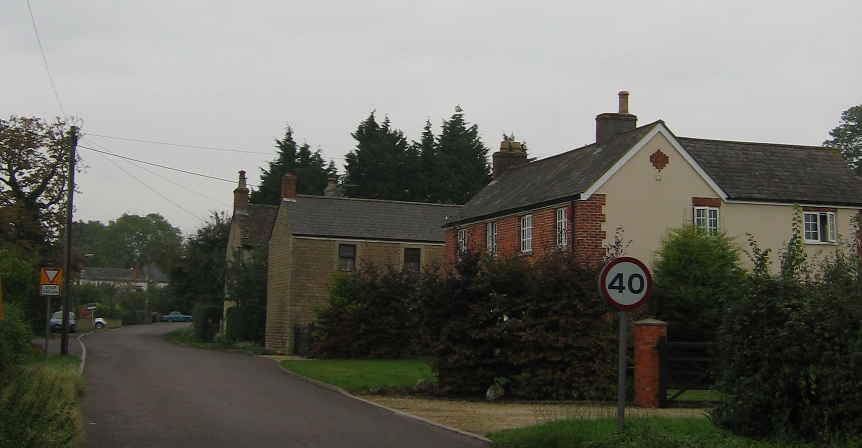
Marsh, Little, Wiltshire is a small village located in the county of Wiltshire, England. Situated approximately 8 miles north of the town of Devizes and 12 miles south of Swindon, the village is nestled in the picturesque countryside of the South West of England.
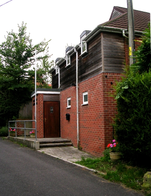
With a population of around 300 residents, Marsh, Little, Wiltshire retains its rural charm and offers a peaceful and close-knit community. The village is characterized by its quaint thatched cottages, well-maintained gardens, and traditional stone buildings, which give it a timeless appeal.
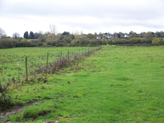
The village is surrounded by rolling hills and lush green fields, providing beautiful views and ample opportunities for outdoor activities such as hiking, cycling, and horse riding. There are also several footpaths and nature trails that crisscross the area, allowing residents and visitors to explore the stunning countryside.
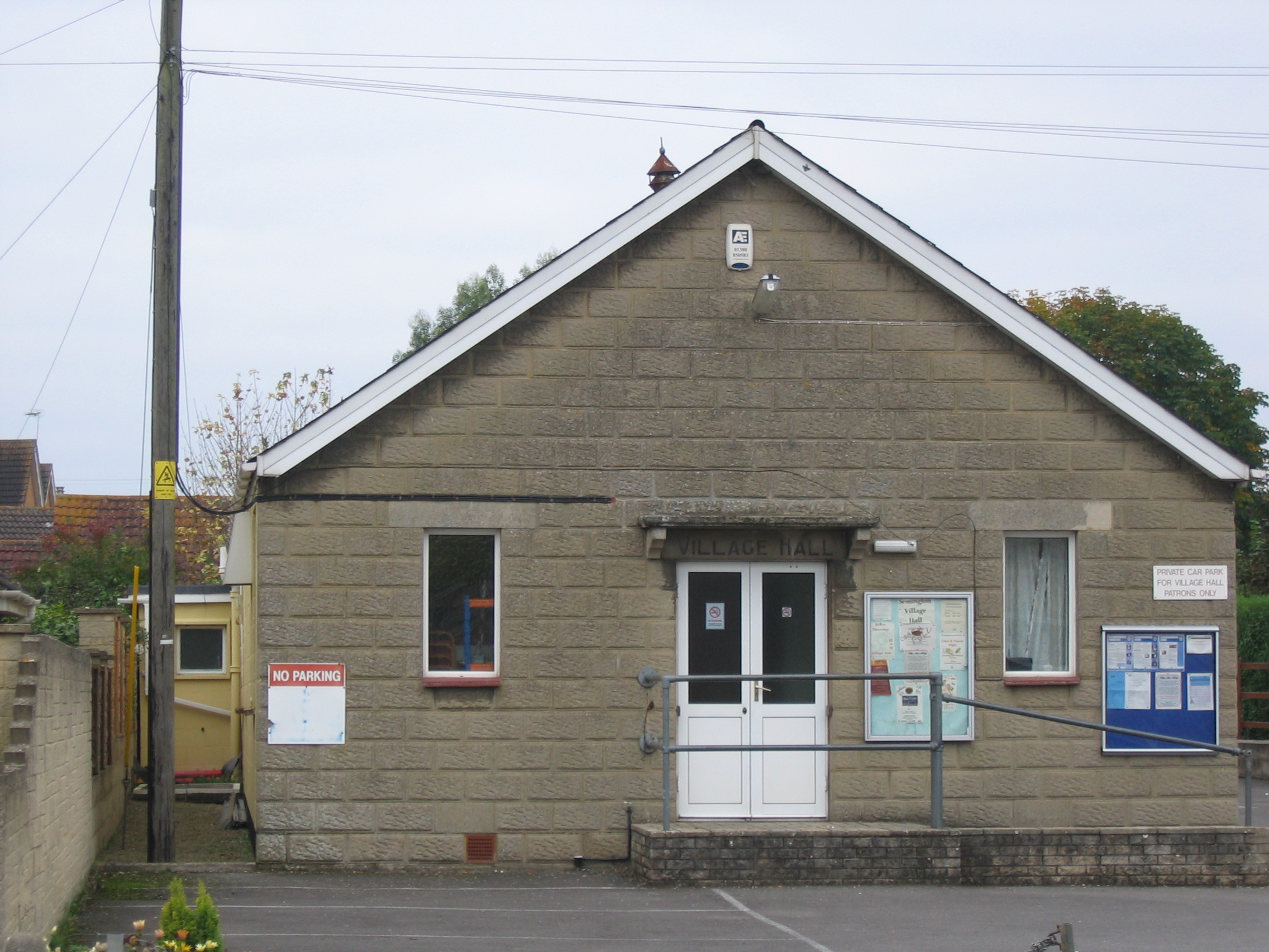
Despite its small size, Marsh, Little, Wiltshire boasts a range of amenities to cater to the needs of its residents. These include a village hall, a local pub, and a small shop where essential groceries can be purchased. The village also has a primary school, which serves the local community and provides education for children aged 5 to 11.
Overall, Marsh, Little, Wiltshire offers a tranquil and idyllic setting for those seeking a slower pace of life in a charming English village. Its natural beauty, community spirit, and convenient location make it an appealing place to call home for both locals and newcomers alike.
If you have any feedback on the listing, please let us know in the comments section below.
Marsh, Little Images
Images are sourced within 2km of 51.336596/-2.15443 or Grid Reference ST8959. Thanks to Geograph Open Source API. All images are credited.


Marsh, Little is located at Grid Ref: ST8959 (Lat: 51.336596, Lng: -2.15443)
Unitary Authority: Wiltshire
Police Authority: Wiltshire
What 3 Words
///shorten.unite.closes. Near Holt, Wiltshire
Nearby Locations
Related Wikis
Semington
Semington is a village and civil parish in Wiltshire, England. The village is about 2 miles (3 km) south of Melksham and about 3 miles (5 km) northeast...
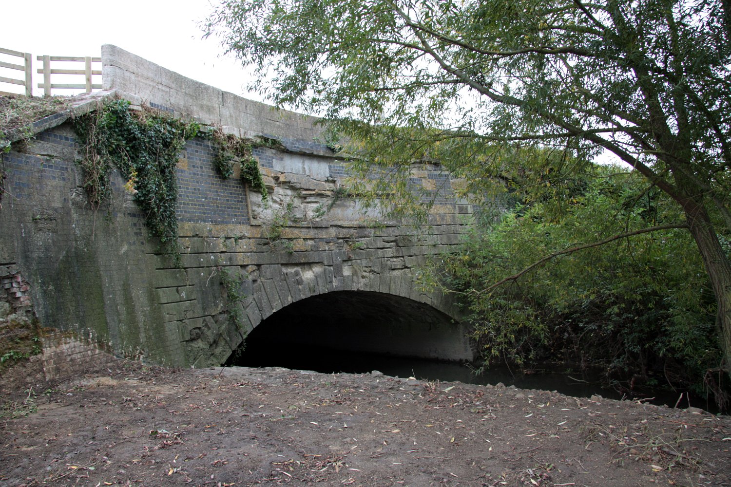
Semington Aqueduct
Semington Aqueduct (grid reference ST896609) is an aqueduct at Semington, Wiltshire, England, UK. It carries the Kennet and Avon Canal over the Semington...
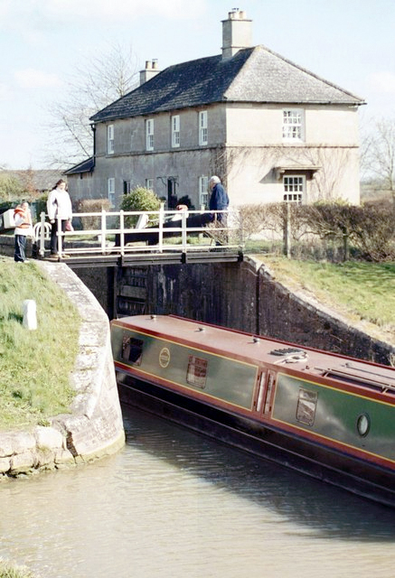
Semington Locks
The Semington Locks (grid reference ST900609) are situated at Semington, Wiltshire on the Kennet and Avon Canal, England. They have a combined rise/fall...
Ashton Common
Ashton Common is a hamlet in Wiltshire, England, to the east of Trowbridge. The hamlet lies on Common Hill, a little south of the A350 road, within the...

Great Hinton
Great Hinton is a small village and civil parish about 3 miles (4.8 km) south of Melksham and 3.5 miles (5.6 km) north-east of Trowbridge in Wiltshire...

New Semington Aqueduct
New Semington Aqueduct (grid reference ST904609) carries the Kennet and Avon Canal over the carriageway of the A350 road Trowbridge Bypass, at Semington...

Semington Halt railway station
Semington Halt railway station was a small railway station serving Semington in Wiltshire, England, between 1906 and 1966. The station was on the Devizes...
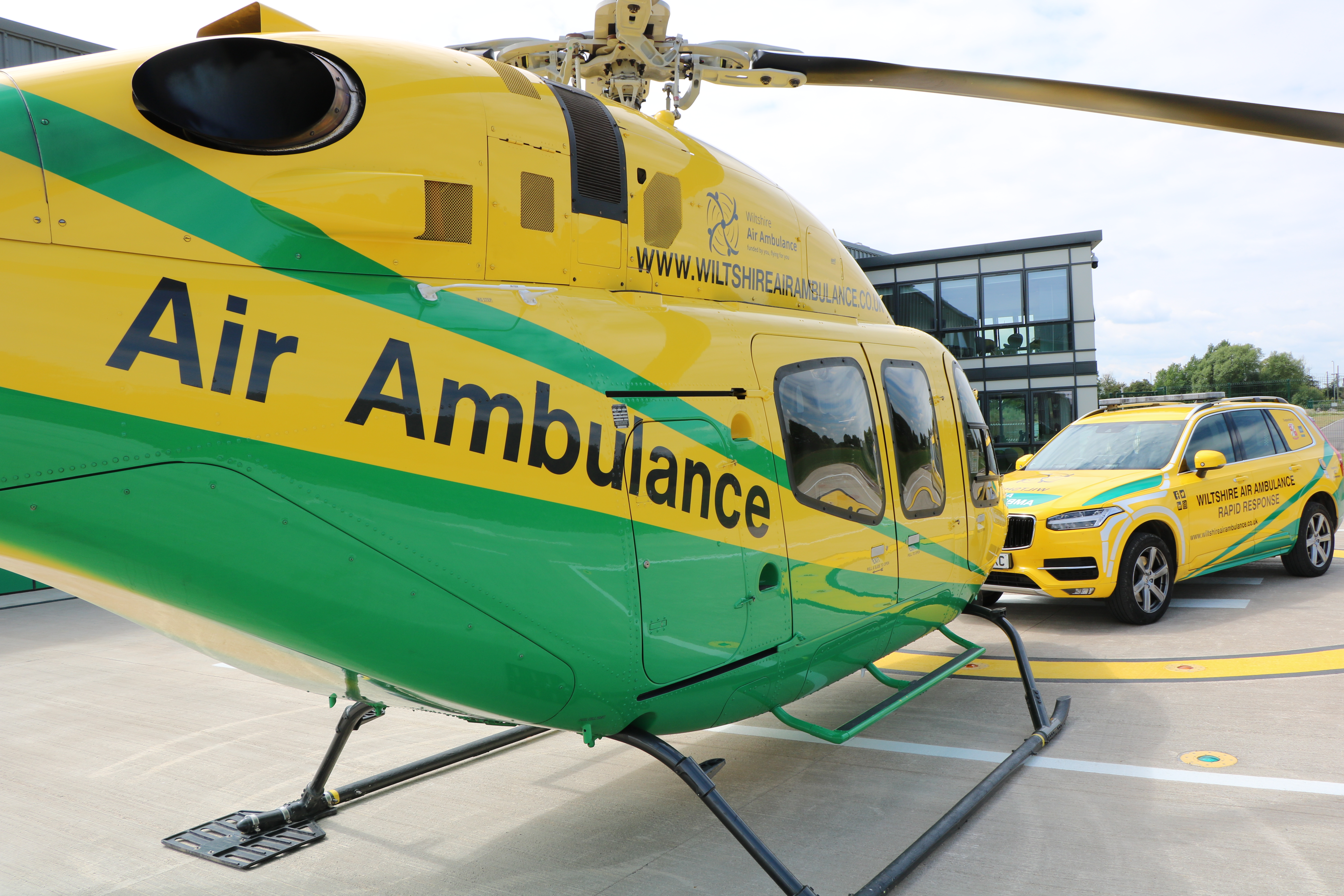
Wiltshire Air Ambulance
Wiltshire Air Ambulance is a helicopter emergency medical service (HEMS) serving Wiltshire and surrounding areas. The service was launched in 1990, but...
Nearby Amenities
Located within 500m of 51.336596,-2.15443Have you been to Marsh, Little?
Leave your review of Marsh, Little below (or comments, questions and feedback).