Greenless Hole

Waterfall in Durham

England

Greenless Hole

Forest road with bridleway A bridleway climbs from Blackling Hole in Hamsterley Forest as part of the forest road system; here it's following the road and does so as far as a junction which can be seen ahead. There, it turns north-west to pass between several fields.
Forest road with bridleway Credit: Trevor Littlewood

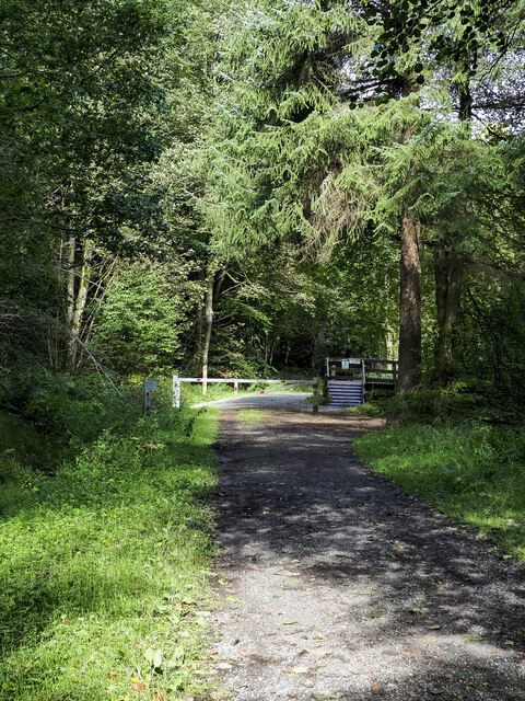
Greenless Hole is a captivating waterfall located in Durham, England. It is situated within the beautiful Durham Dales, near the village of Middleton-in-Teesdale. This enchanting natural wonder is tucked away within a secluded gorge, surrounded by lush greenery and towering cliffs, making it a hidden gem for nature enthusiasts and hikers alike.

The waterfall is formed by the powerful force of the River Tees as it cascades over a series of rocky ledges. The rushing water creates a mesmerizing spectacle, with its crystal-clear streams glistening in the sunlight. The name "Greenless Hole" stems from the deep, emerald-green pool that forms at the base of the waterfall, providing a stark contrast to the surrounding rocks and vegetation.

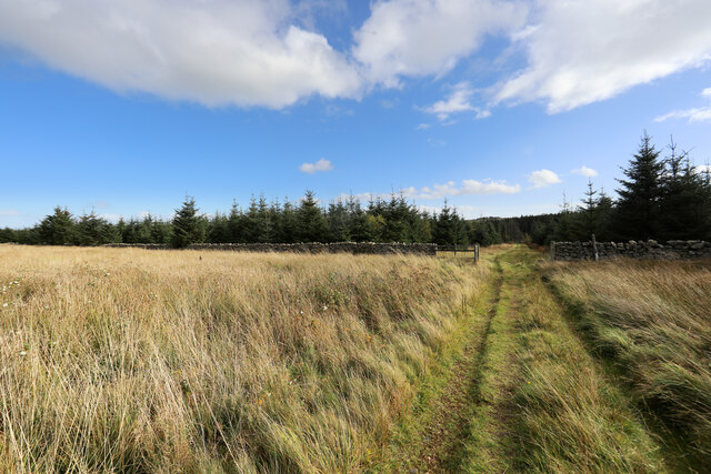
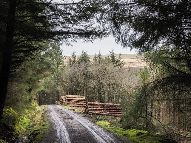
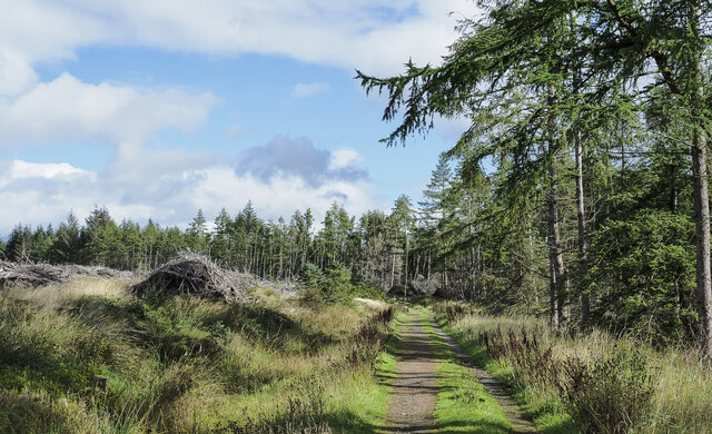
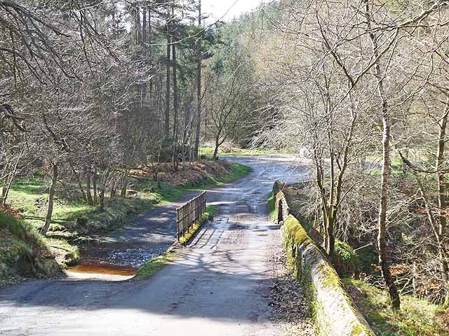
Access to Greenless Hole is via a scenic walking trail that winds through the picturesque landscape. The hike to the waterfall is relatively moderate, with some steep sections that require sturdy footwear and a reasonable level of fitness. Along the way, visitors can admire the diverse flora and fauna that thrive in this unspoiled habitat.

Due to its secluded location, Greenless Hole offers a tranquil and peaceful atmosphere. The sound of rushing water and the serenity of the surroundings make it an ideal spot for relaxation, picnicking, or simply immersing oneself in the beauty of nature. Wildlife enthusiasts may also be fortunate enough to spot various bird species, including dippers and kingfishers, as they flit around the river.

Greenless Hole, Durham, is a true natural wonder that showcases the breathtaking beauty of the English countryside. Its picturesque setting, combined with the power and elegance of the waterfall, make it a destination that should not be missed by those seeking a serene and awe-inspiring outdoor experience.

If you have any feedback on the listing, please let us know in the comments section below.

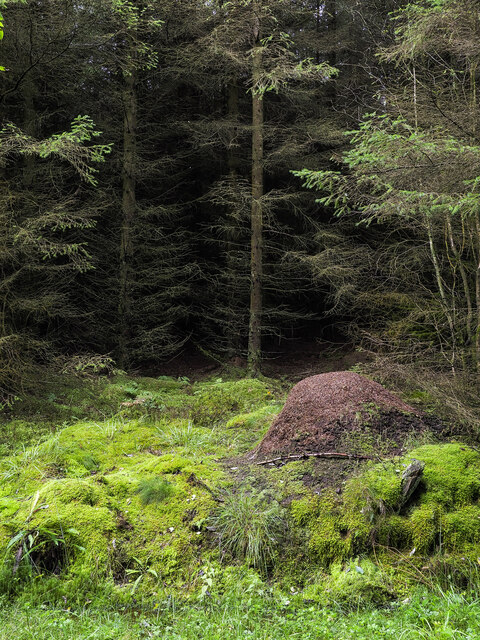
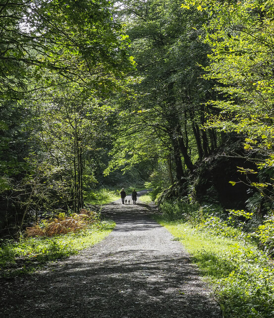
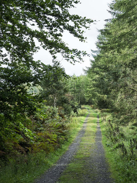
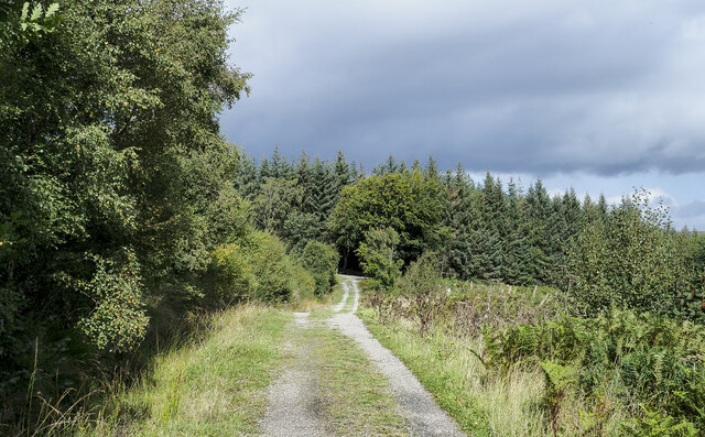
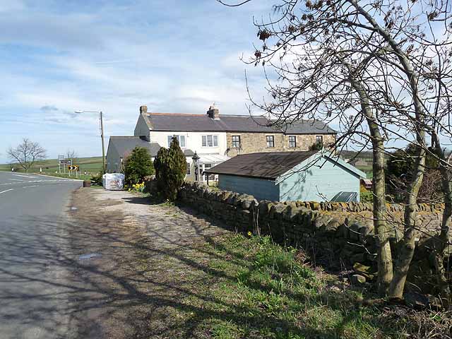
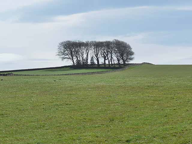
Greenless Hole Images

Images are sourced within 2km of 54.645567/-1.9130355 or Grid Reference NZ0527. Thanks to Geograph Open Source API. All images are credited.

Forest road with bridleway A bridleway climbs from Blackling Hole in Hamsterley Forest as part of the forest road system; here it's following the road and does so as far as a junction which can be seen ahead. There, it turns north-west to pass between several fields.
Forest road with bridleway
A bridleway climbs from Blackling Hole in Hamsterley Forest as part of the forest road system; here it's following the road and does so as far as a junction which can be seen ahead. There, it turns north-west to pass between several fields.
War memorial at Woodland Woodland's war memorial resembles a chimney! The building behind it is presumably a chapel of some kind.
War memorial at Woodland
Woodland's war memorial resembles a chimney! The building behind it is presumably a chapel of some kind.
Bridleway from the forest The grassy area appears never to have been forested so cannot properly be described as a forest clearing. Parts (perhaps all) of it are a conservation area, so presumably will never suffer the fate of blanket conifer infestation. Most of the tracks in the forest are not rights of way, and most of the bridleways are effectively impenetrable, so it's a nice change to find a section of bridleway which is a fully-fledged track actually capable of use by horse or bike riders.
Bridleway from the forest
The grassy area appears never to have been forested so cannot properly be described as a forest clearing. Parts (perhaps all) of it are a conservation area, so presumably will never suffer the fate of blanket conifer infestation. Most of the tracks in the forest are not rights of way, and most of the bridleways are effectively impenetrable, so it's a nice change to find a section of bridleway which is a fully-fledged track actually capable of use by horse or bike riders.
Timber stacks beside forest road There's a large amount of timber cutting going on in that part of Hamsterley Forest just north of Spurlswood Beck. The timber stacks are just the outlying log piles, further along the road there are many more.
Timber stacks beside forest road
There's a large amount of timber cutting going on in that part of Hamsterley Forest just north of Spurlswood Beck. The timber stacks are just the outlying log piles, further along the road there are many more.
Forest road above Spurlswood Beck The road heading basically north has standing conifers to the right and the 'brash' of a clear-felled area to the left. The road is part of a Hamsterley Forest path known as the Spurlswood Walk.
Forest road above Spurlswood Beck
The road heading basically north has standing conifers to the right and the 'brash' of a clear-felled area to the left. The road is part of a Hamsterley Forest path known as the Spurlswood Walk.
Opening in forest with wood ant nest The ant nest in the foreground is one of a number of similar ones located in relatively open spaces  along the uphill side of a forest road, which is also the route of a named path in Hamsterley Forest: the Spurlswood Walk.
Opening in forest with wood ant nest
The ant nest in the foreground is one of a number of similar ones located in relatively open spaces along the uphill side of a forest road, which is also the route of a named path in Hamsterley Forest: the Spurlswood Walk.
People with dogs, approaching The forest road runs alongside Spurlswood Beck and is part of the route of the Spurlswood Walk in Hamsterley Forest. Once, the road was open to motorists (on payment of a toll), which even online OS maps still name as an 'Ornamental Drive' at the 1:25 000 scale. The road is now closed to private vehicles: perhaps the income from tolls failed to cover the maintenance costs.
People with dogs, approaching
The forest road runs alongside Spurlswood Beck and is part of the route of the Spurlswood Walk in Hamsterley Forest. Once, the road was open to motorists (on payment of a toll), which even online OS maps still name as an 'Ornamental Drive' at the 1:25 000 scale. The road is now closed to private vehicles: perhaps the income from tolls failed to cover the maintenance costs.
Forest road, part of the Spurlswood Walk The forest road appears to be a relatively 'low duty' affair. It's used as part of a named Hamsterley Forest path known as the Spurlswood Walk.
It's surely intended for less heavy traffic than another nearby road found almost a kilometre to the west - <a title="https://www.geograph.org.uk/photo/5707479" href="https://www.geograph.org.uk/photo/5707479">Link</a> .
Forest road, part of the Spurlswood Walk
The forest road appears to be a relatively 'low duty' affair. It's used as part of a named Hamsterley Forest path known as the Spurlswood Walk. It's surely intended for less heavy traffic than another nearby road found almost a kilometre to the west - Link .
Forest road approaching junction The road is part of a named pedestrian route in Hamsterley Forest, the Spurlswood Walk. The road to be joined is a much more robust affair, built to take heavy forestry traffic.
Forest road approaching junction
The road is part of a named pedestrian route in Hamsterley Forest, the Spurlswood Walk. The road to be joined is a much more robust affair, built to take heavy forestry traffic.
Barrier across forest road The road in Hamsterley Forest runs adjacent to Spurlswood Beck and is used in the named walking route, Spurlswood Walk.
The road used to be motorable by the public on payment of a toll. OS maps on line still name the way as a toll road and even as an 'Ornamental Drive', but motoring over it is now not allowed and the barrier prevents it.
Barrier across forest road
The road in Hamsterley Forest runs adjacent to Spurlswood Beck and is used in the named walking route, Spurlswood Walk. The road used to be motorable by the public on payment of a toll. OS maps on line still name the way as a toll road and even as an 'Ornamental Drive', but motoring over it is now not allowed and the barrier prevents it.
Ford and bridge over the Spurlswood Beck At the entrance to the Blackling Hole car park in Hamsterley Forest. The bridge is only of light construction - heavy vehicles must use the ford.
Ford and bridge over the Spurlswood Beck
At the entrance to the Blackling Hole car park in Hamsterley Forest. The bridge is only of light construction - heavy vehicles must use the ford.
Way out of Hamsterley Forest This road leads out of the Forest from the end of the Forest Drive at Blackling Hole. It is also followed by the W2W (Walney to Wear) cycle route of the National Cycle Network <span class="nowrap"><a title="http://www.cyclingw2w.info" rel="nofollow ugc noopener" href="http://www.cyclingw2w.info">Link</a><img style="margin-left:2px;" alt="External link" title="External link - shift click to open in new window" src="https://s1.geograph.org.uk/img/external.png" width="10" height="10"/></span>
Way out of Hamsterley Forest
This road leads out of the Forest from the end of the Forest Drive at Blackling Hole. It is also followed by the W2W (Walney to Wear) cycle route of the National Cycle Network LinkExternal link
Rock face beside the Hamsterley Forest Drive The Forest Drive also carries the W2W (Walney to Wear) cycle route of the National Cycle Network <span class="nowrap"><a title="http://www.cyclingw2w.info" rel="nofollow ugc noopener" href="http://www.cyclingw2w.info">Link</a><img style="margin-left:2px;" alt="External link" title="External link - shift click to open in new window" src="https://s1.geograph.org.uk/img/external.png" width="10" height="10"/></span>.
Rock face beside the Hamsterley Forest Drive
The Forest Drive also carries the W2W (Walney to Wear) cycle route of the National Cycle Network LinkExternal link.
Houses at the B6282 junction near Woodlands
Clump of trees near Woodland village
Mayland Farm
Mayland Farm
Hillside at Oak Bank Beside the Hamsterley Forest Drive. This small embayment may mark the site of a former forestry roadstone quarry.
Hillside at Oak Bank
Beside the Hamsterley Forest Drive. This small embayment may mark the site of a former forestry roadstone quarry.
Barn and trees at Mayland Lea Mayland Lea is a farm to the east of Hamsterley Forest; it's seen here from Windy Bank Road, a minor piece of highway that runs at the eastern edge of the forest.
Barn and trees at Mayland Lea
Mayland Lea is a farm to the east of Hamsterley Forest; it's seen here from Windy Bank Road, a minor piece of highway that runs at the eastern edge of the forest.
Show me another place!

Greenless Hole is located at Grid Ref: NZ0527 (Lat: 54.645567, Lng: -1.9130355)

Unitary Authority: County Durham

Police Authority: Durham

What 3 Words

///basics.decisions.cracks. Near Eggleston, Co. Durham

Related Wikis

Woodland, County Durham

Woodland is a rural village in County Durham, England. It is situated 1100 feet above sea level, a few miles to the north of Barnard Castle, and west of...

Frog Wood Bog

Frog Wood Bog is a Site of Special Scientific Interest in the Teesdale district of County Durham, England. It lies alongside Bedburn Beck, approximately...

Low Redford Meadows

Low Redford Meadows is a Site of Special Scientific Interest in the Teesdale district of County Durham, England. It consists of two separate areas of meadows...

Copley, County Durham

Copley is a village of roughly 400 inhabitants in County Durham, England. It is situated 9 miles west of Bishop Auckland, and 6 miles from Barnard Castle...

Hamsterley Forest

Hamsterley Forest is a commercial forest in County Durham owned and managed by Forestry England. It is the largest forest in County Durham and covers...

Morley, County Durham

Morley is a village in County Durham, England. It is situated five miles to the west of Bishop Auckland (OS grid reference NZ 1127). Morley is first mentioned...

South Side, County Durham

South Side is a village in County Durham, in England. It is situated to the north of Butterknowle, a few miles west of Bishop Auckland. == References... ==

Butterknowle

Butterknowle is a village in Teesdale, County Durham, England. Butterknowle is situated between the market towns of Bishop Auckland (9 miles to the east...

Nearby Amenities

Located within 500m of 54.645567,-1.9130355
Ford: yes
Lat/Long: 54.6429215/-1.9191011
Blackling Hole waterfall
Waterway: waterfall
Lat/Long: 54.6430298/-1.9191705
Access: permissive
Barrier: swing_gate
Bicycle: yes
Foot: yes
Horse: yes
Swing Gate Type: single
Lat/Long: 54.6433455/-1.9186263
Barrier: entrance
Lat/Long: 54.644337/-1.9103847
Barrier: entrance
Lat/Long: 54.6429452/-1.9075394
Tourism: viewpoint
Lat/Long: 54.6431124/-1.919421
The data included in this document is from www.openstreetmap.org. The data is made available under ODbL.

Have you been to Greenless Hole?

Leave your review of Greenless Hole below (or comments, questions and feedback).