Crag Scar Force

Waterfall in Yorkshire

England

Crag Scar Force

Fence with gate and sculpture The gate is approached by a bridleway which joins an estate road beyond. Pedestrians can avoid opening the gate by using a stile that isn't obvious in the image - it passes through the sculpture going behind the left hand sheep and pillar.
Fence with gate and sculpture Credit: Trevor Littlewood

Crag Scar Force is a captivating waterfall located in Yorkshire, England. Situated in the picturesque Yorkshire Dales National Park, this natural wonder is known for its breathtaking beauty and serene surroundings.

The waterfall is nestled within a charming wooded area, surrounded by lush greenery and towering trees. It is fed by the nearby River Wharfe, which cascades down a series of limestone steps, creating a mesmerizing display of rushing water. The falls are most impressive after periods of rainfall when the river is full and the water flows with greater force.

Crag Scar Force is a popular attraction for nature lovers and outdoor enthusiasts alike. Visitors can enjoy a leisurely walk along well-marked paths that lead to the waterfall, which is accessible from the nearby village of Appletreewick. The trail offers stunning views of the surrounding countryside, with opportunities for birdwatching and wildlife spotting.

Photographers are particularly drawn to Crag Scar Force, as its picturesque setting provides ample opportunities for capturing stunning images. The tranquil atmosphere and the soothing sound of the rushing water make it an ideal spot for relaxation and contemplation.

It is important to note that due to its natural terrain and the presence of slippery rocks, caution should be exercised when visiting Crag Scar Force. Visitors are advised to wear appropriate footwear and take care while exploring the area.

Overall, Crag Scar Force is a true gem of Yorkshire, offering visitors a chance to immerse themselves in the beauty of nature and experience a sense of serenity and tranquility.

If you have any feedback on the listing, please let us know in the comments section below.

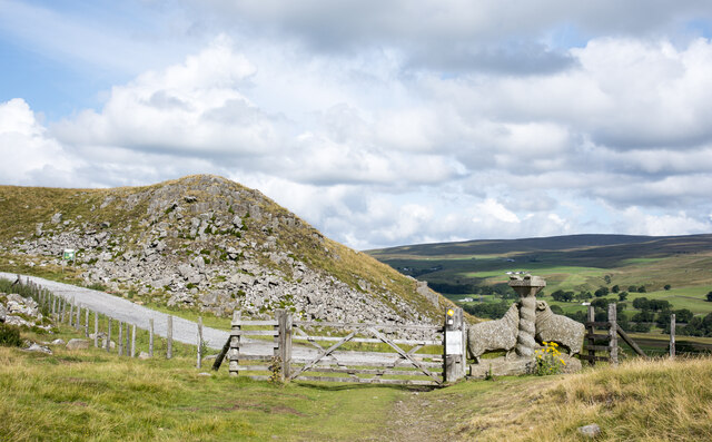
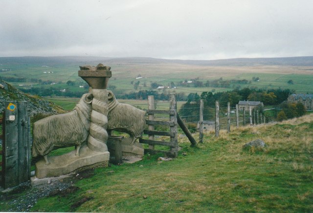
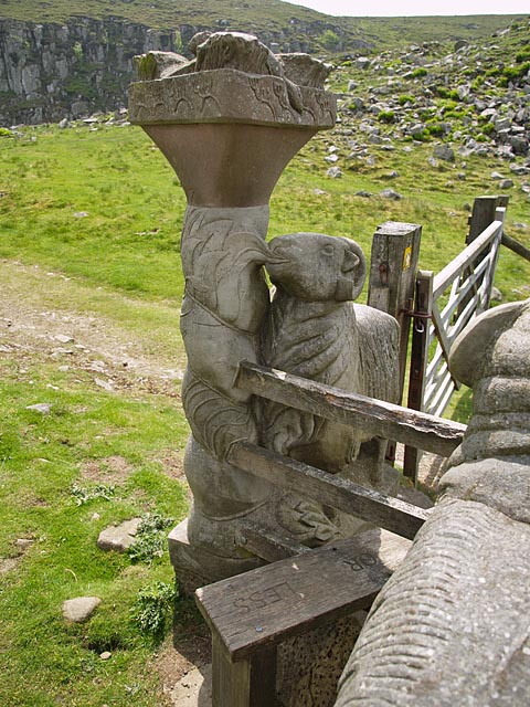
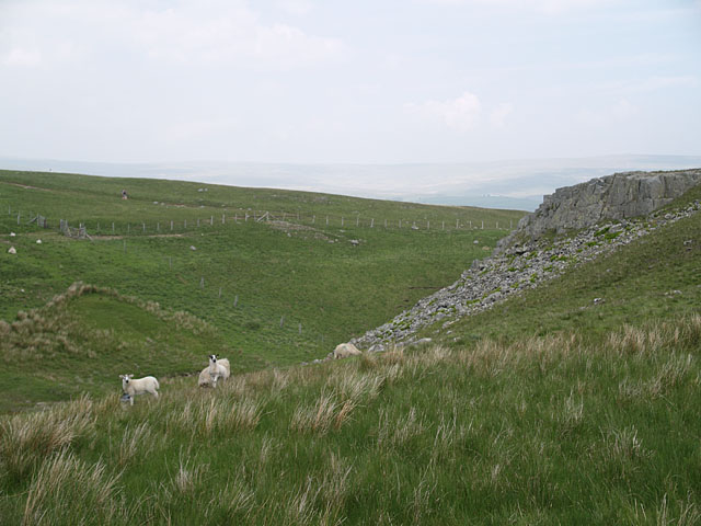
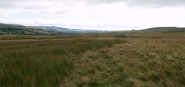
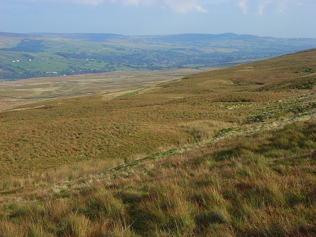
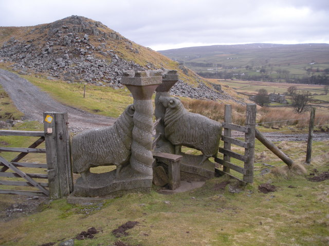
Crag Scar Force Images

Images are sourced within 2km of 54.629086/-2.1343869 or Grid Reference NY9126. Thanks to Geograph Open Source API. All images are credited.

Fence with gate and sculpture The gate is approached by a bridleway which joins an estate road beyond. Pedestrians can avoid opening the gate by using a stile that isn't obvious in the image - it passes through the sculpture going behind the left hand sheep and pillar.
Fence with gate and sculpture
The gate is approached by a bridleway which joins an estate road beyond. Pedestrians can avoid opening the gate by using a stile that isn't obvious in the image - it passes through the sculpture going behind the left hand sheep and pillar.
Wall and fence east of Green Fell A fence has run along the ridge line east-south-east from Green Fell to this point where a wall continues in the same direction. Unusually, from the same point there's a parallel fence close to the wall, some two or three metres from it. The fence was clearly put in place long after the wall and the wall is in good condition.  The fence has been erected for some reason; it's hard to fathom what.
Wall and fence east of Green Fell
A fence has run along the ridge line east-south-east from Green Fell to this point where a wall continues in the same direction. Unusually, from the same point there's a parallel fence close to the wall, some two or three metres from it. The fence was clearly put in place long after the wall and the wall is in good condition. The fence has been erected for some reason; it's hard to fathom what.
Lamb Sculpture and stile named Moor or Less see 
<span class="nowrap"><a title="http://pmsa.cch.kcl.ac.uk/pmsa-database/10078/" rel="nofollow ugc noopener" href="http://pmsa.cch.kcl.ac.uk/pmsa-database/10078/">Link</a><img style="margin-left:2px;" alt="External link" title="External link - shift click to open in new window" src="https://s1.geograph.org.uk/img/external.png" width="10" height="10"/></span>
Lamb Sculpture and stile named Moor or Less
see LinkExternal link
The wall on Crossthwaite Common
Slopes towards Green Fell Green Fell lies on the southern hill slopes of Teesdale and is part of the greater hill, Bink Moss. Upper Teesdale is seen in the distance.
Slopes towards Green Fell
Green Fell lies on the southern hill slopes of Teesdale and is part of the greater hill, Bink Moss. Upper Teesdale is seen in the distance.
Moor or Less Stile and sculpture combined at the western end of Holwick Scars.
Moor or Less
Stile and sculpture combined at the western end of Holwick Scars.
Valley of Scar Beck Valley at the western end of Holwick Scars.
Walker visible on the hillside opposite is on the bridleway from Low Currick Rigg.
Valley of Scar Beck
Valley at the western end of Holwick Scars. Walker visible on the hillside opposite is on the bridleway from Low Currick Rigg.
View southeast from Hawk Rigg 2 photos stitched together.
Kirkcarrion can be seen on the horizon at right of centre.
View southeast from Hawk Rigg
2 photos stitched together. Kirkcarrion can be seen on the horizon at right of centre.
Lingy Hills An ironically grassy slope.
Lingy Hills
An ironically grassy slope.
Sheep Stile at Holwick
Holwick Scar Holwick Scar seen on the approach from Cronkley.
Holwick Scar
Holwick Scar seen on the approach from Cronkley.
Stream draining Crooks O'Green Fell The steeper slopes of Crook O'Green Fell are cut into deep V-shaped valleys by the various streams that drain northeastwards, but the valleys become much less incised below the break of slope. This makes it easier to cross each one if one is walking along the hillside heading southeast as I was, at the expense of the ground being a lot wetter underfoot. This particular stream is just above its confluence with a similar sized stream which is responsible for the dark-coloured face of a small landslip on the hillside above, and the combined waters then flow towards Easter Beck, to which they would originally have been tributary. However, a water race has been cut across the lower slopes, diverting at least some of the water from these streams towards Intake Hill above Middleton-in-Teesdale.
Stream draining Crooks O'Green Fell
The steeper slopes of Crook O'Green Fell are cut into deep V-shaped valleys by the various streams that drain northeastwards, but the valleys become much less incised below the break of slope. This makes it easier to cross each one if one is walking along the hillside heading southeast as I was, at the expense of the ground being a lot wetter underfoot. This particular stream is just above its confluence with a similar sized stream which is responsible for the dark-coloured face of a small landslip on the hillside above, and the combined waters then flow towards Easter Beck, to which they would originally have been tributary. However, a water race has been cut across the lower slopes, diverting at least some of the water from these streams towards Intake Hill above Middleton-in-Teesdale.
Footbridge spanning the River Tees The River Tees is a major river in Northern England. It rises in the Pennines on Cross Fell and flows 85 miles eastwards to its mouth at Redcar.
Wikipedia: <span class="nowrap"><a title="http://en.wikipedia.org/wiki/River_Tees" rel="nofollow ugc noopener" href="http://en.wikipedia.org/wiki/River_Tees">Link</a><img style="margin-left:2px;" alt="External link" title="External link - shift click to open in new window" src="https://s1.geograph.org.uk/img/external.png" width="10" height="10"/></span>
Footbridge spanning the River Tees
The River Tees is a major river in Northern England. It rises in the Pennines on Cross Fell and flows 85 miles eastwards to its mouth at Redcar. Wikipedia: LinkExternal link
The River Tees near Newbiggin Taken from the footbridge that crosses the river at this point
The River Tees near Newbiggin
Taken from the footbridge that crosses the river at this point
Pasture and woodland between the Tees and Bow Lee Beck The footbridge across Bow Lee Beck is just visible in the wall line in this picture
Pasture and woodland between the Tees and Bow Lee Beck
The footbridge across Bow Lee Beck is just visible in the wall line in this picture
Footpath approaching Bank Cottage
The Mill The white-painted property is named The Mill; it's in Teesdale just north of Newbiggin. Beyond is cultivated ground in the valley with moorland rising in the distance.
The Mill
The white-painted property is named The Mill; it's in Teesdale just north of Newbiggin. Beyond is cultivated ground in the valley with moorland rising in the distance.
Barn in field across River Tees The River Tees south-west from Newbiggin. The barn is composed of a variety of wood, and metal sheeting, at least some of it corrugated; it's partly open on its visible long side.
Barn in field across River Tees
The River Tees south-west from Newbiggin. The barn is composed of a variety of wood, and metal sheeting, at least some of it corrugated; it's partly open on its visible long side.
Show me another place!

Crag Scar Force is located at Grid Ref: NY9126 (Lat: 54.629086, Lng: -2.1343869)

Division: North Riding

Unitary Authority: County Durham

Police Authority: Durham

What 3 Words

///notched.smirks.nametag. Near Holwick, Co. Durham

Related Wikis

Park End Wood

Park End Wood is a Site of Special Scientific Interest in the Teesdale district of west County Durham, England. The site occupies a low hill of Whin Sill...

Holwick

Holwick is a small village in Teesdale, County Durham (district), England. Located in the Pennine hills, it consists of a few houses spread along a road...

Newbiggin, Teesdale

Newbiggin is a village and civil parish in County Durham, England. At the 2011 census the parish had a population of 146. It is situated on the north side...

Middle Side and Stonygill Meadows

Middle Side and Stonygill Meadows is a Site of Special Scientific Interest in the Teesdale district of County Durham, England. It consists of two separate...

Nearby Amenities

Located within 500m of 54.629086,-2.1343869
Image: https://www.geograph.org.uk/photo/1396178
Waterway: waterfall
Lat/Long: 54.6305463/-2.1370807
Barrier: entrance
Lat/Long: 54.6322342/-2.1395618
Disused Man Made: level
Historic: mine_level
Source: OS_1851
Lat/Long: 54.6281984/-2.1393187
The data included in this document is from www.openstreetmap.org. The data is made available under ODbL.

Have you been to Crag Scar Force?

Leave your review of Crag Scar Force below (or comments, questions and feedback).