Artengill Force
Waterfall in Yorkshire South Lakeland
England
Artengill Force

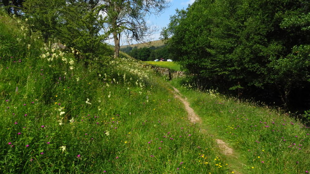
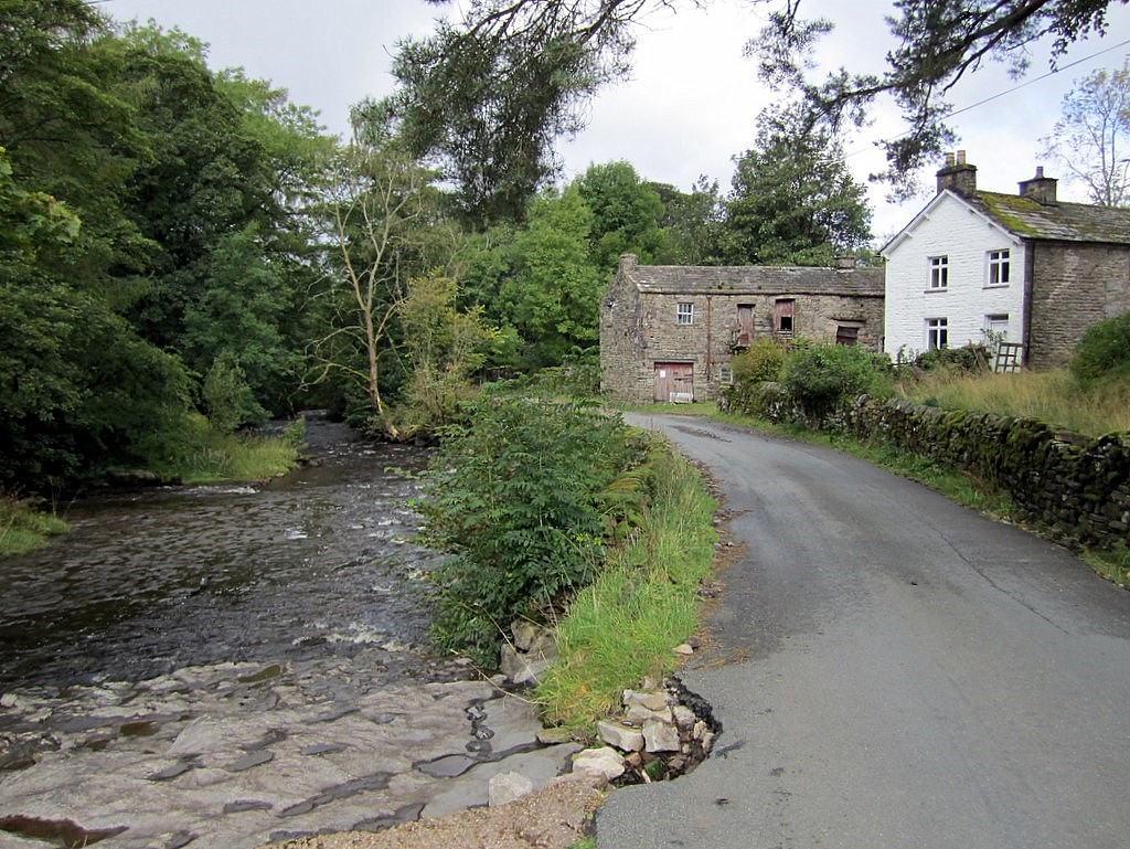
Artengill Force, located in Yorkshire, England, is a captivating waterfall that offers a stunning natural spectacle for visitors. Situated in the Yorkshire Dales National Park, this waterfall is nestled in a tranquil and picturesque setting, surrounded by lush greenery and rocky cliffs.
The waterfall is formed by the Artengill Beck, a stream that cascades down a series of rocky ledges, creating a mesmerizing display of rushing water. With a total drop of approximately 20 feet, Artengill Force provides a powerful and awe-inspiring sight, especially after heavy rainfall when the water volume increases dramatically.
The waterfall is easily accessible by a well-maintained footpath, allowing visitors to get up close and personal with the cascading water. The surrounding area offers ample opportunities for hikers and nature enthusiasts, with various walking trails and viewpoints to explore.
Artengill Force is particularly popular among photographers and artists due to its natural beauty and photogenic qualities. The contrasting textures of the rocks, the vibrant colors of the surrounding vegetation, and the dynamic movement of the water provide a perfect subject for capturing stunning images or creating inspiring artwork.
Visiting Artengill Force is a serene experience, allowing visitors to immerse themselves in the tranquility of nature while enjoying the captivating sight and sound of the waterfall. It is a must-visit destination for those seeking to discover the beauty of Yorkshire's landscapes and appreciate the wonders of the natural world.
If you have any feedback on the listing, please let us know in the comments section below.
Artengill Force Images
Images are sourced within 2km of 54.26791/-2.3453685 or Grid Reference SD7785. Thanks to Geograph Open Source API. All images are credited.


Artengill Force is located at Grid Ref: SD7785 (Lat: 54.26791, Lng: -2.3453685)
Division: West Riding
Administrative County: Cumbria
District: South Lakeland
Police Authority: Cumbria
What 3 Words
///forehand.chainsaw.papers. Near Sedbergh, Cumbria
Nearby Locations
Related Wikis

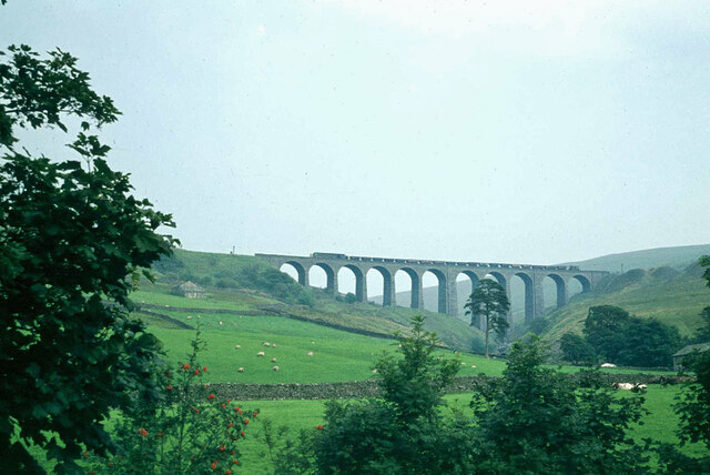
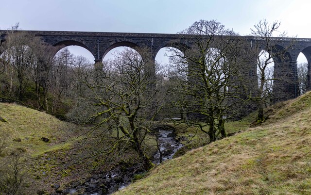
Arten Gill Viaduct
Arten Gill Viaduct is an eleven-arch railway bridge in Dentdale, Cumbria, England. The viaduct carries the Settle to Carlisle railway line over Artengill...
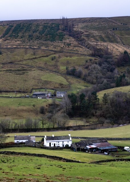
Stone House, Cumbria
Stone House is a locality at Dent Head on the River Dee, in the county of Cumbria, England, to the south-east of Cowgill and to the north-west of Newby...

Dent Head Viaduct
Dent Head Viaduct is a railway viaduct on the Settle–Carlisle line in Dentdale, Cumbria, England. It is the second major viaduct on the line northwards...
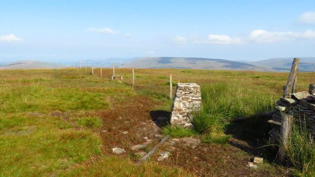
Great Knoutberry Hill
Great Knoutberry Hill, also commonly known as Widdale Fell, is a mountain located near Dent at the heads of Ribblesdale, Dentdale and Wensleydale, in the...

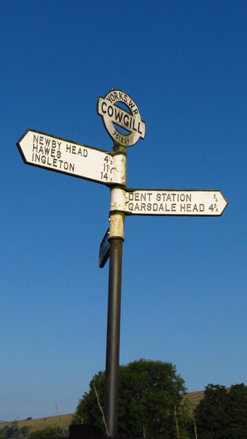
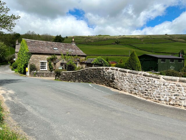
Cowgill, Cumbria
Cowgill is a village in Westmorland and Furness, Cumbria, England. It is within the historic boundaries of the West Riding of Yorkshire, and is located...

Dent railway station
Dent is a railway station on the Settle and Carlisle Line, which runs between Carlisle and Leeds via Settle. The station, situated 58 miles 29 chains...

St John the Evangelist's Church, Cowgill
St John the Evangelist's Church is the Church of England parish church of the village of Cowgill, Cumbria, England. It is in the deanery of Kendal, the...

Newby Head
Newby Head, Newby Head Farm or Newby Head Inn is part of the Beresford Estate and was a popular drovers' inn in North Yorkshire, England. Now a farmhouse...
Nearby Amenities
Located within 500m of 54.26791,-2.3453685Have you been to Artengill Force?
Leave your review of Artengill Force below (or comments, questions and feedback).