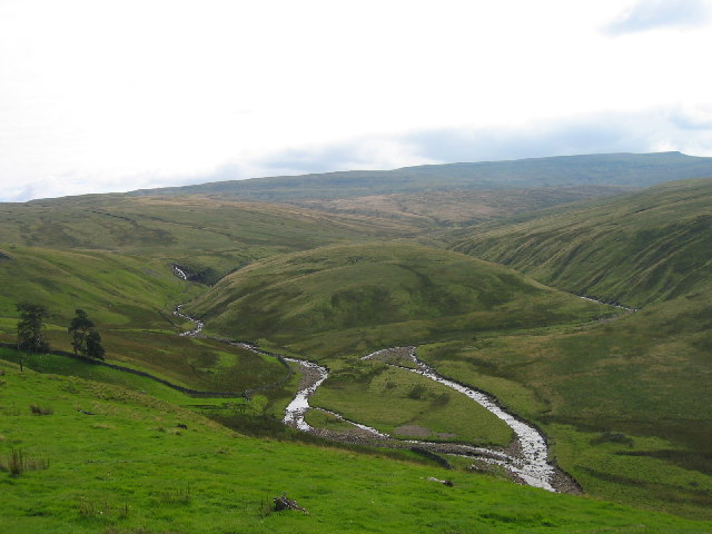
Cash Force
Waterfall in Cumberland Eden
England
Cash Force

Cash Force, Cumberland (Waterfall) is a captivating natural wonder nestled in the Cumberland region of New South Wales, Australia. This picturesque waterfall is a part of the Cashs River, which flows through the scenic Cumberland State Forest.
Standing at an impressive height of approximately 10 meters (33 feet), Cash Force is a popular attraction for nature enthusiasts and hikers alike. The waterfall is known for its mesmerizing cascades, creating a stunning display of water rushing over rocks and plunging into the natural pool below. The sound of the water crashing against the rocks adds to the tranquil ambiance of the area.
To reach Cash Force, visitors can embark on a moderately challenging hike through the lush forest. The trail leading to the waterfall offers breathtaking views of the surrounding landscape, including vibrant flora and native wildlife. It is advisable to wear appropriate hiking shoes and carry water and snacks for the journey.
The area around Cash Force is ideal for picnicking and relaxation. There are well-maintained picnic spots with tables and benches, providing visitors with an opportunity to unwind and enjoy the serene atmosphere. The shady trees and the soothing sound of the waterfall make it a perfect spot for a quiet escape from the city hustle.
Overall, Cash Force, Cumberland (Waterfall) is a natural gem in the Cumberland region, offering visitors a chance to connect with nature and immerse themselves in the beauty of the Australian wilderness.
If you have any feedback on the listing, please let us know in the comments section below.
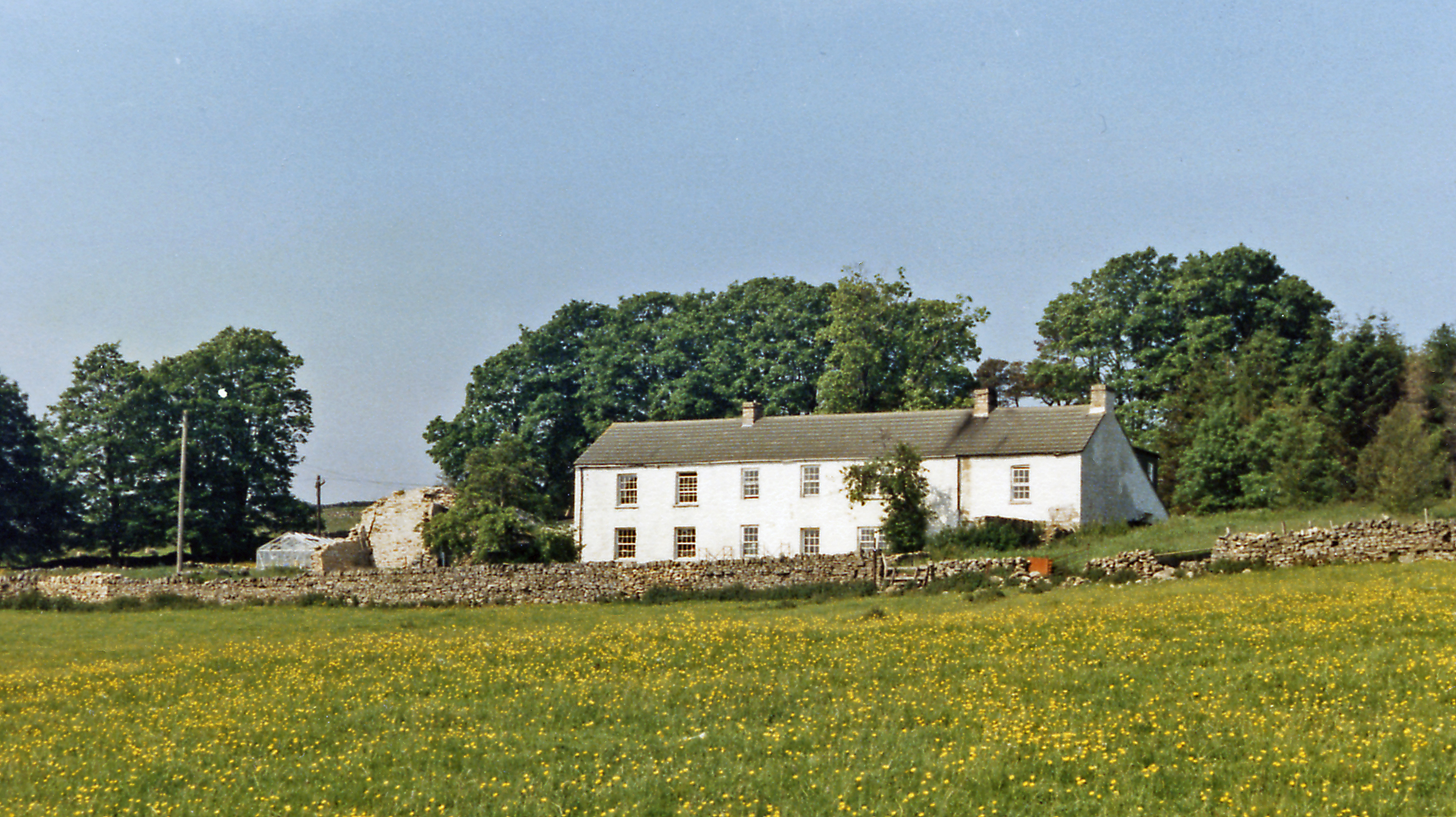
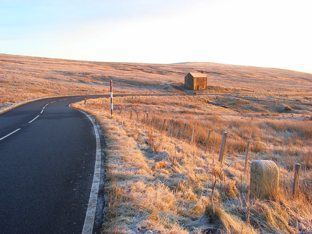
Cash Force Images
Images are sourced within 2km of 54.742347/-2.4666543 or Grid Reference NY7038. Thanks to Geograph Open Source API. All images are credited.


Cash Force is located at Grid Ref: NY7038 (Lat: 54.742347, Lng: -2.4666543)
Administrative County: Cumbria
District: Eden
Police Authority: Cumbria
What 3 Words
///improvise.extent.guitar. Near Alston, Cumbria
Nearby Locations
Related Wikis

Cross Fell
Cross Fell is the highest mountain in the Pennines of Northern England and the highest point in England outside the Lake District. It is located in the...

Leadgate, Cumbria
Leadgate is a small hamlet located at the foot of Hartside Fell between the town of Alston and the village of Garrigill in the parish of Alston Moor in...

Garrigill
Garrigill, Cumbria is a small village in the North Pennine region of the UK, situated on the banks and close to the source of the River South Tyne. Historically...

Moorhouse and Cross Fell
Moorhouse and Cross Fell is a Site of Special Scientific Interest covering an extensive area of moorland in the Wear Valley district of west County Durham...

Ashgill Force
Ashgill Force is a waterfall near Alston, Cumbria, England. The fall is located on Ashgill Beck and is reasonably easily accessible from the B6277 (which...
Bayles, Cumbria
Bayles is a hamlet near Alston in Cumbria, England.
A686 road
The A686 is a road in Northern England. It runs from Penrith in Cumbria to Haydon Bridge in Northumberland. AA Magazine named the A686 as one of their...

Alston, Cumbria
Alston is a town in Westmorland and Furness, Cumbria, England, within the civil parish of Alston Moor on the River South Tyne. It shares the title of the...
Nearby Amenities
Located within 500m of 54.742347,-2.4666543Have you been to Cash Force?
Leave your review of Cash Force below (or comments, questions and feedback).