Black Force
Waterfall in Yorkshire South Lakeland
England
Black Force

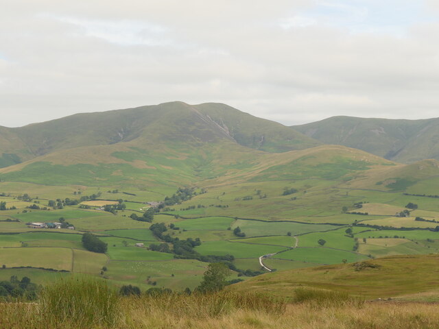
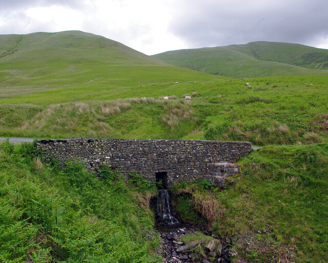
Black Force, Yorkshire, also known as Black Force Waterfall, is a stunning natural attraction located in the Yorkshire Dales National Park in northern England. It is situated in the picturesque valley of Langstrothdale, near the village of Hubberholme.
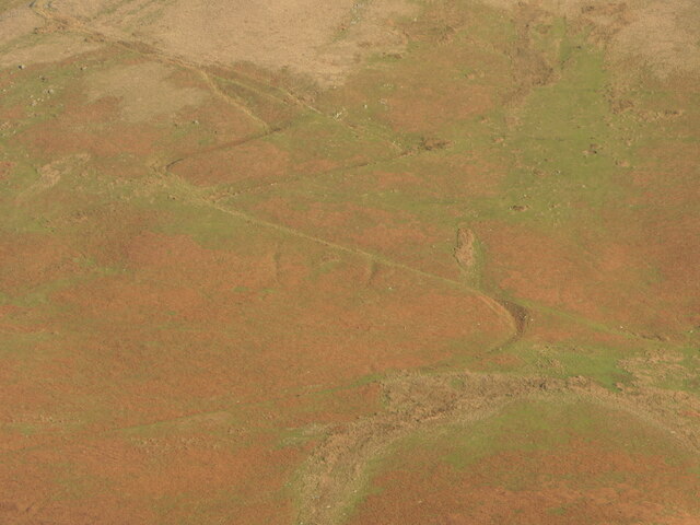
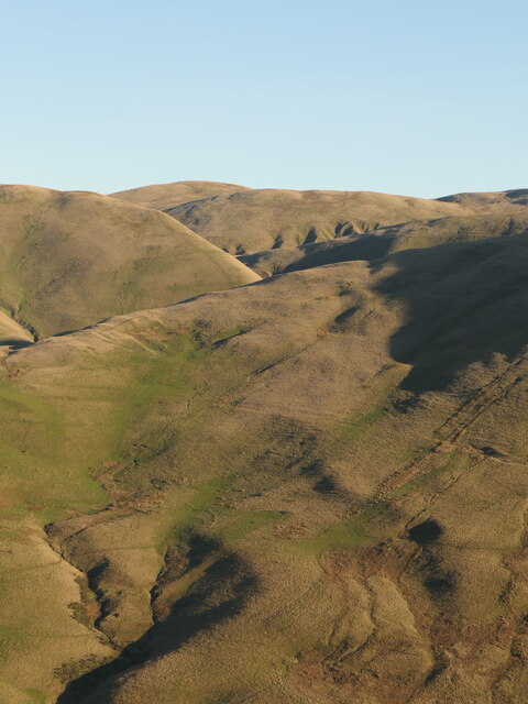
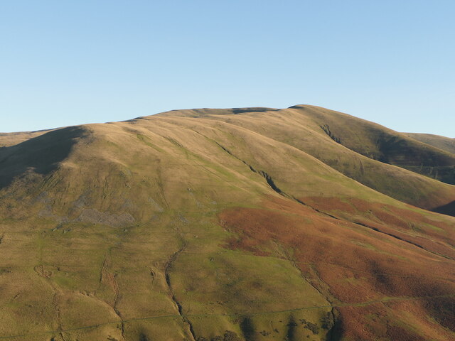
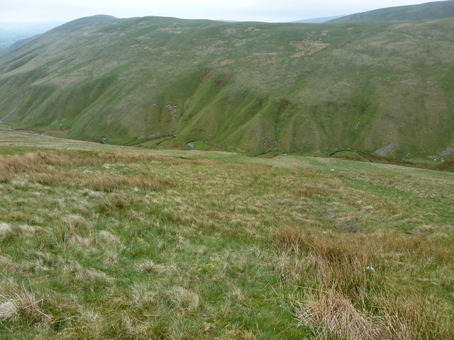
The waterfall is named after the dark-colored rockface that contrasts with the surrounding lush greenery. It is formed by the cascading waters of the River Wharfe as it descends from the moorland above. The river flows through a narrow gorge, creating a dramatic drop, resulting in the impressive waterfall that is Black Force.
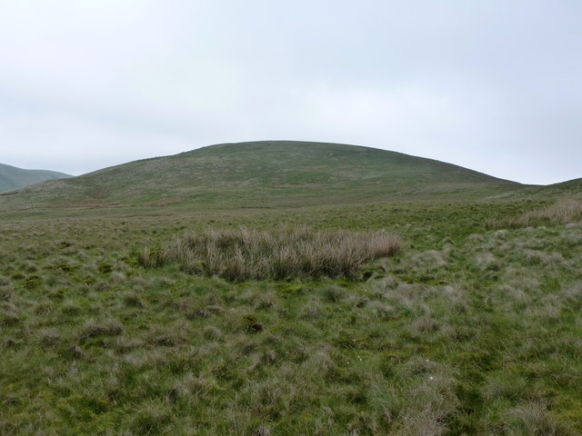
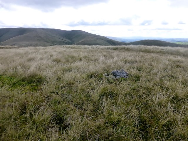
Standing at approximately 15 meters (50 feet) tall, the waterfall offers a breathtaking sight to visitors. The water plunges into a deep pool at the bottom, creating a mesmerizing display of power and beauty. The surrounding landscape, with its rolling hills and rocky outcrops, adds to the overall charm of the location.
Black Force is a popular spot for hikers and nature enthusiasts, who can enjoy the stunning views and tranquil ambiance while exploring the surrounding area. There are several walking trails that lead to the waterfall, providing opportunities for adventure and discovery.
The best time to visit Black Force is after heavy rainfall, as the increased water flow enhances the waterfall's grandeur. However, caution must be exercised, as the rocks can be slippery, and the water can be forceful.
Overall, Black Force, Yorkshire, is a natural wonder that showcases the beauty of the Yorkshire Dales. Its striking appearance and serene surroundings make it a must-visit destination for nature lovers and those seeking a tranquil escape.
If you have any feedback on the listing, please let us know in the comments section below.
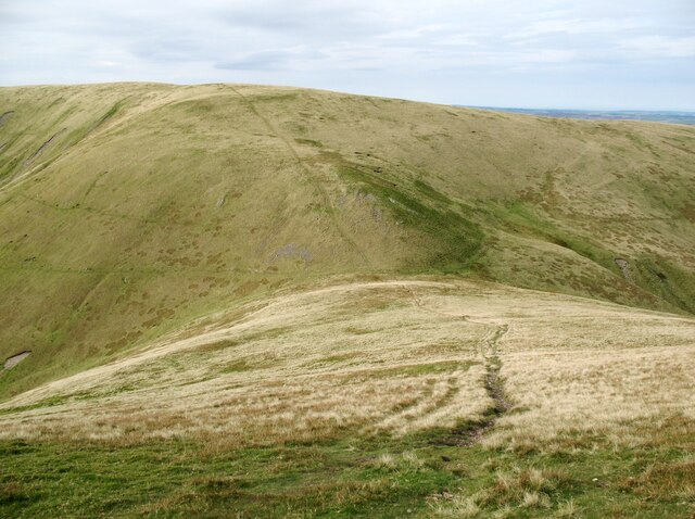
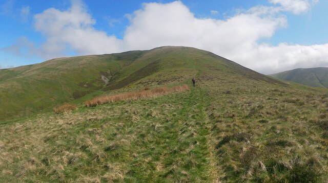
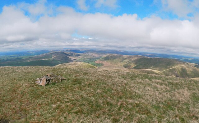
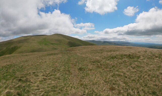
Black Force Images
Images are sourced within 2km of 54.386495/-2.5494834 or Grid Reference SD6499. Thanks to Geograph Open Source API. All images are credited.


Black Force is located at Grid Ref: SD6499 (Lat: 54.386495, Lng: -2.5494834)
Division: West Riding
Administrative County: Cumbria
District: South Lakeland
Police Authority: Cumbria
What 3 Words
///tadpoles.golden.love. Near Sedbergh, Cumbria
Nearby Locations
Related Wikis

Low Gill railway station
Low Gill railway station served the hamlet of Lowgill, Westmorland (now in Cumbria), England, from 1846 to 1966 on the Lancaster and Carlisle Railway....

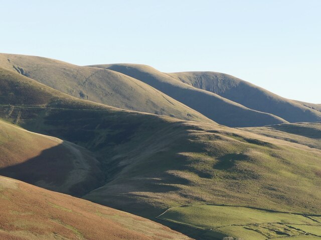
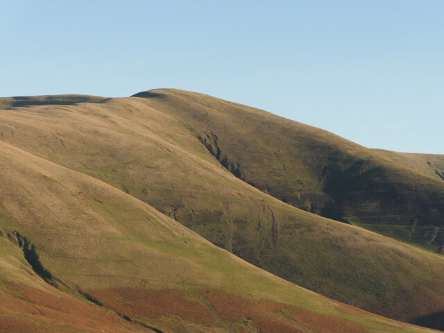
The Calf
The Calf, at an elevation of 676 metres (2,218 ft), is the highest point in the Howgill Fells, an area of high ground in north-west England. It is in the...

Howgill Fells
The Howgill Fells are uplands in Northern England between the Lake District and the Yorkshire Dales, lying roughly within a triangle formed by the town...

Calders (Yorkshire Dales)
Calders is a summit of 2,211 feet (674 m) in the Howgill Fells, Cumbria, England. It lies about 2⁄3 mile (1 km) south east of the summit of The Calf and...
Nearby Amenities
Located within 500m of 54.386495,-2.5494834Have you been to Black Force?
Leave your review of Black Force below (or comments, questions and feedback).