Bells Linn
Waterfall in Northumberland
England
Bells Linn
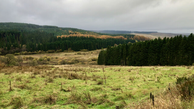
Bell's Linn, located in Northumberland, England, is a picturesque waterfall nestled within the stunning landscape of the Northumberland National Park. This captivating natural wonder is situated near the small village of Bellingham, just a short distance from the River North Tyne.
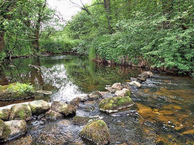
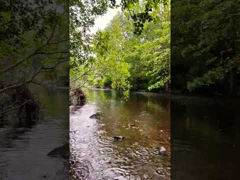
Bell's Linn is a popular destination for nature enthusiasts and hikers alike, offering a tranquil escape within the rugged beauty of the region. The waterfall is formed as the River Hareshaw Burn cascades over a series of rocky ledges, creating a mesmerizing spectacle of rushing water and cascading spray.
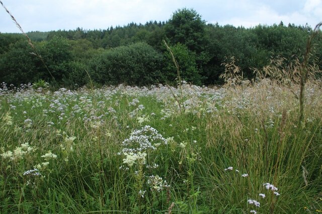
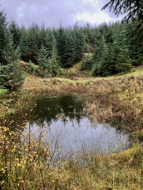
The surrounding area is abundant with lush vegetation, including ferns, mosses, and wildflowers, adding to the enchanting atmosphere. Visitors can enjoy the sound of the rushing water and the refreshing mist that fills the air, making it a truly immersive experience.
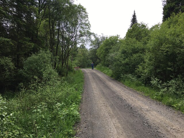
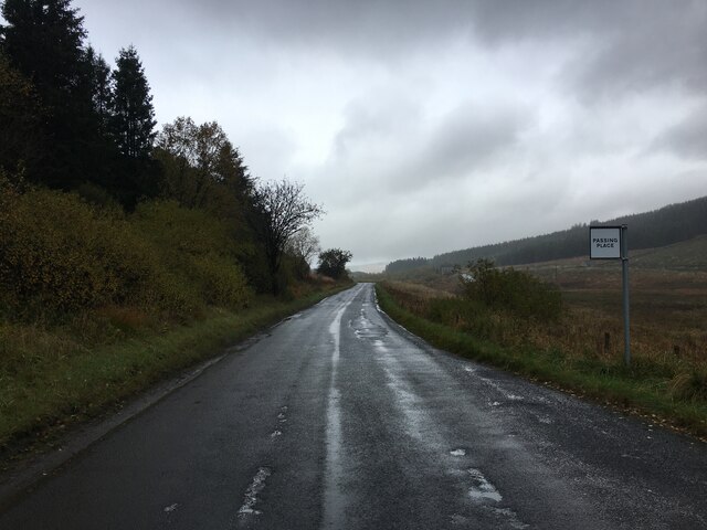
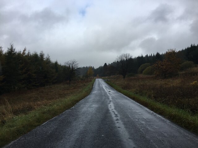
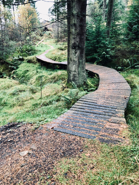
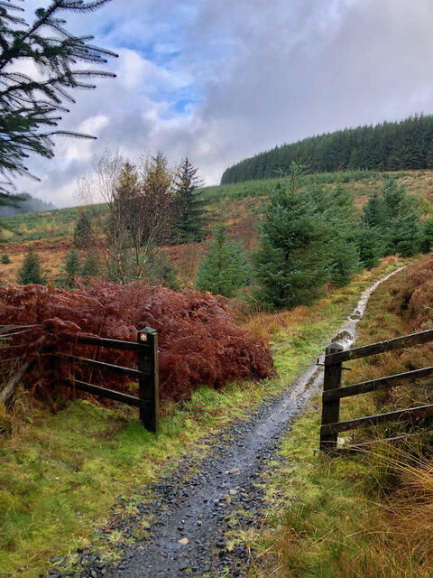
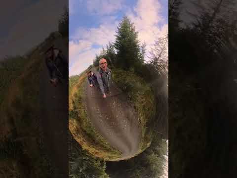
Access to Bell's Linn is relatively easy, with a well-maintained footpath leading from the nearby village of Bellingham. The path winds its way through the peaceful countryside, offering glimpses of the surrounding natural beauty before reaching the waterfall.
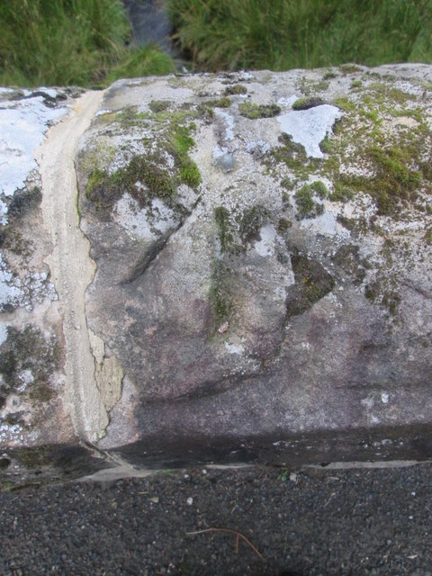
Photographers are particularly drawn to Bell's Linn, as it provides a stunning subject for capturing the essence of Northumberland's wild and rugged landscape. The combination of the cascading water, rocky outcrops, and lush greenery creates a scene that is both dramatic and serene.
Overall, Bell's Linn is a hidden gem within Northumberland, offering visitors the chance to immerse themselves in the beauty and tranquility of this captivating waterfall. Whether enjoying a peaceful walk or seeking to capture its natural majesty on camera, Bell's Linn is a must-visit destination for nature lovers and adventure seekers alike.
If you have any feedback on the listing, please let us know in the comments section below.
Bells Linn Images
Images are sourced within 2km of 55.247095/-2.611457 or Grid Reference NY6194. Thanks to Geograph Open Source API. All images are credited.


Bells Linn is located at Grid Ref: NY6194 (Lat: 55.247095, Lng: -2.611457)
Unitary Authority: Northumberland
Police Authority: Northumbria
What 3 Words
///undertone.period.salsa. Near Rochester, Northumberland
Nearby Locations
Related Wikis

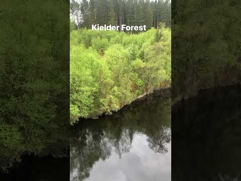
Kielder Forest Star Camp
The Kielder Forest Star Camp is an annual star party held each autumn and spring in Kielder Forest. The five night event is based on the Kielder Campsite...

Deadwater, Northumberland
Deadwater is a small settlement in Northumberland, England, about 3 miles (5 km) north west of Kielder, Northumberland, on the English side of the border...
Kielder railway station
Kielder railway station is a closed railway station that served the village hamlet of Kielder, Northumberland. == History == Kielder railway station was...
Deadwater railway station
Deadwater railway station is a closed railway station situated on the border between England and Scotland at the head of the North Tyne River. The station...
Related Videos

Nearby Amenities
Located within 500m of 55.247095,-2.611457Have you been to Bells Linn?
Leave your review of Bells Linn below (or comments, questions and feedback).