Core Linn

Waterfall in Banffshire

Scotland

Core Linn

Near the site of Drybridge Halt, 1997 View NE, towards Portessie: ex-Highland Railway Keith - Portessie branch. The line was closed back in 8/1915! Note the curiosity of the Aberdeen Angus.
Near the site of Drybridge Halt, 1997 Credit: Ben Brooksbank

Core Linn, located in Banffshire, Scotland, is a stunning waterfall that captivates visitors with its natural beauty and serene surroundings. Situated within the enchanting Core Linn Glen, this waterfall is a popular attraction for nature lovers and outdoor enthusiasts.

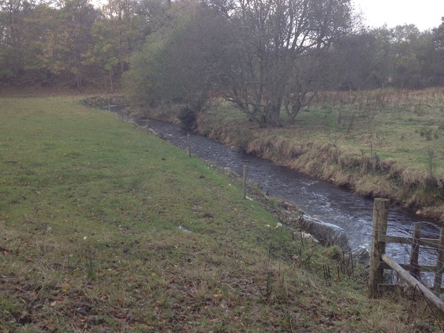
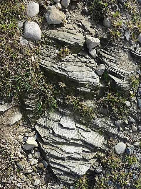
The Core Linn waterfall cascades down a series of rocky steps, creating a mesmerizing display of rushing water and mist. With a drop of approximately 12 meters, the waterfall's powerful flow is a sight to behold. The water originates from the Burn of Mosset, a nearby river that meanders through the picturesque landscape.

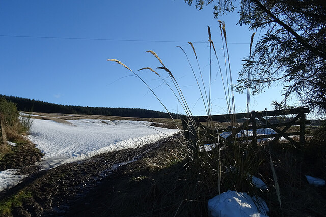
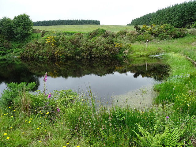
Surrounded by lush greenery, Core Linn provides a tranquil escape from the hustle and bustle of everyday life. The glen boasts a diverse range of flora and fauna, making it an ideal destination for wildlife enthusiasts and photographers. Visitors can expect to encounter various bird species, including dippers and kingfishers, as well as occasional sightings of red squirrels and roe deer.

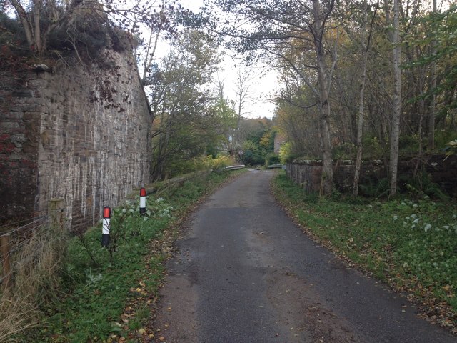
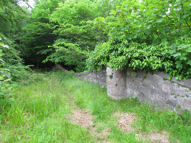
The Core Linn waterfall can be accessed via a well-marked walking trail that winds through the glen, offering visitors a chance to immerse themselves in the natural beauty of the area. The trail provides breathtaking views of the waterfall from different perspectives, allowing visitors to fully appreciate its grandeur.

Overall, Core Linn in Banffshire is a must-visit destination for those seeking a peaceful and awe-inspiring encounter with nature. Its striking waterfall and serene surroundings make it a remarkable place to relax, explore, and connect with the natural world.

If you have any feedback on the listing, please let us know in the comments section below.
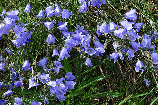
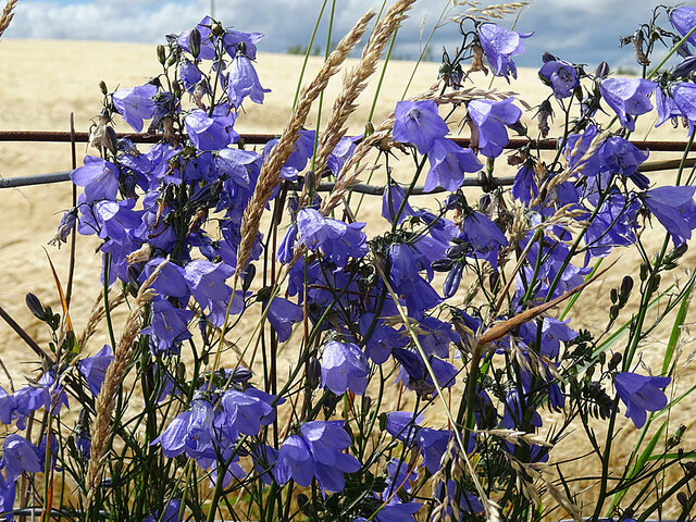
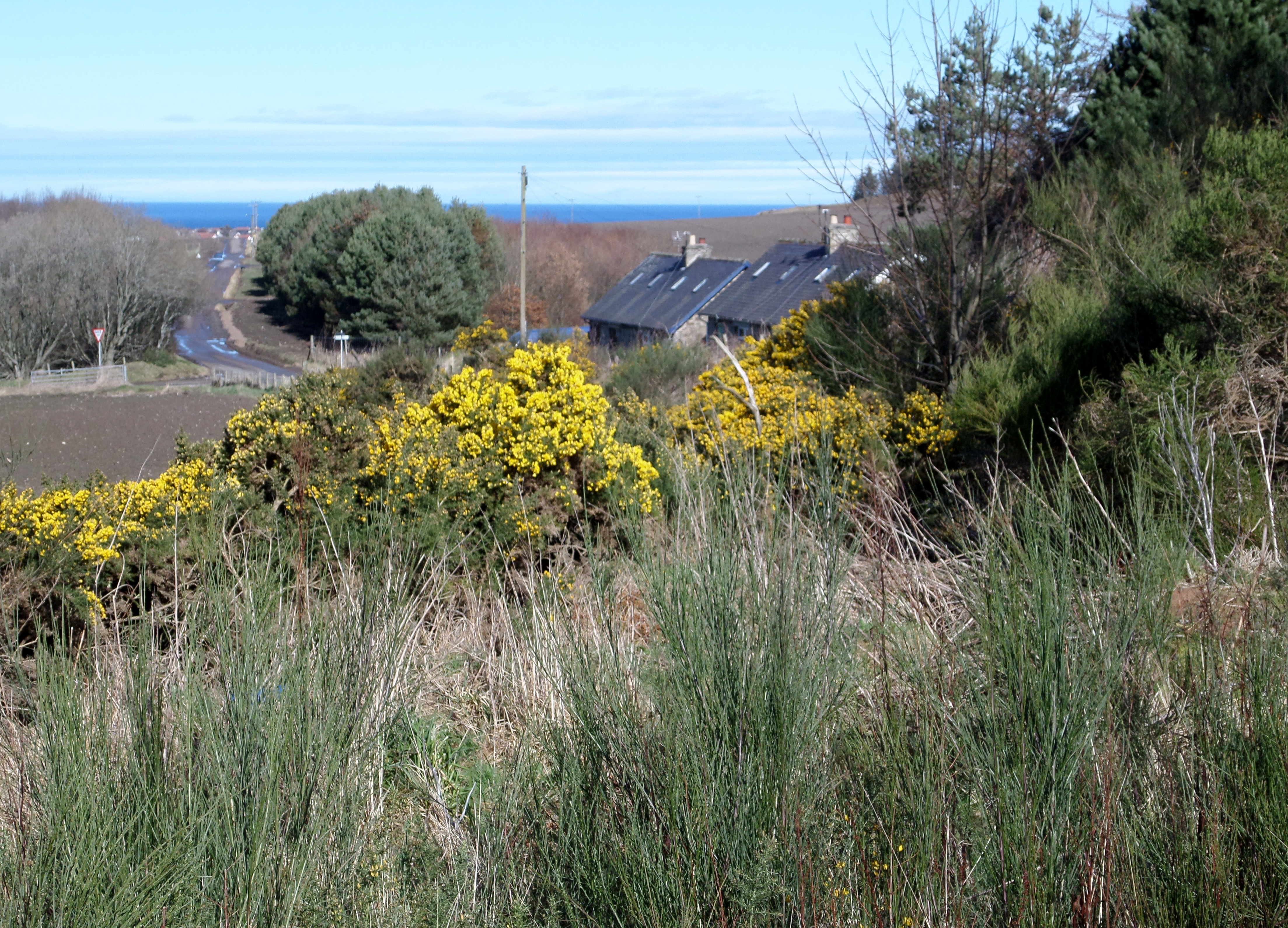
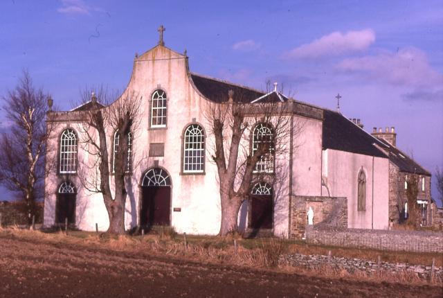
Core Linn Images

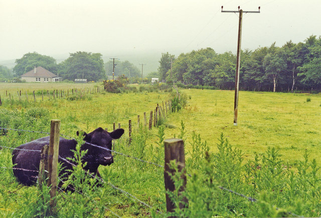
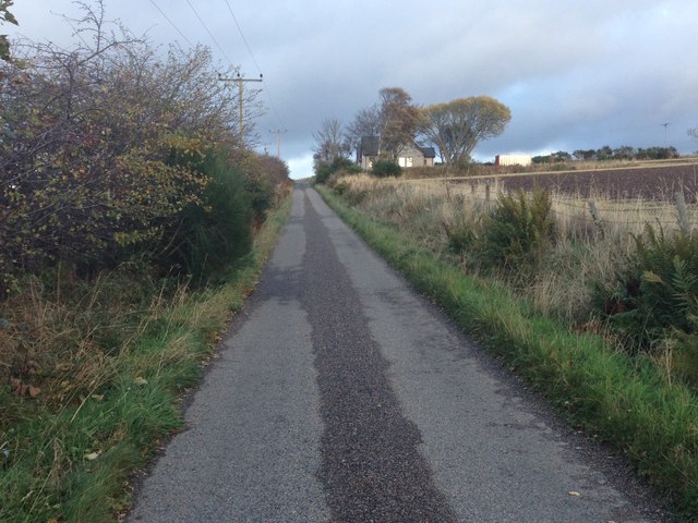
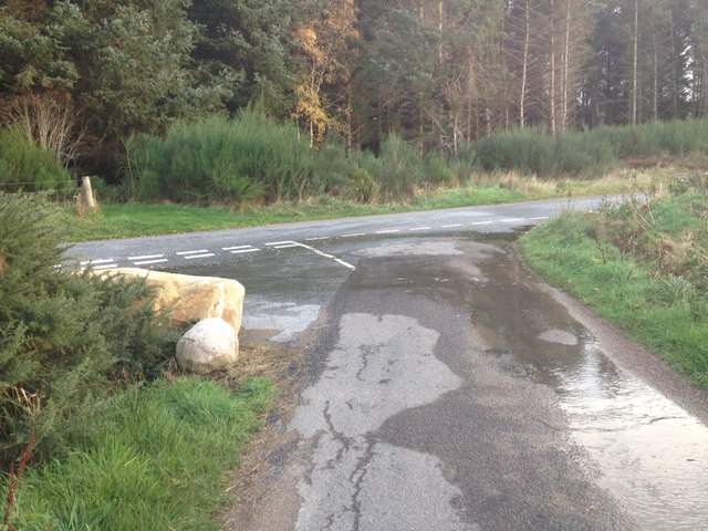
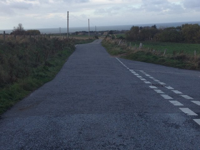
Images are sourced within 2km of 57.639139/-2.9501853 or Grid Reference NJ4361. Thanks to Geograph Open Source API. All images are credited.

Near the site of Drybridge Halt, 1997 View NE, towards Portessie: ex-Highland Railway Keith - Portessie branch. The line was closed back in 8/1915! Note the curiosity of the Aberdeen Angus.
Near the site of Drybridge Halt, 1997
View NE, towards Portessie: ex-Highland Railway Keith - Portessie branch. The line was closed back in 8/1915! Note the curiosity of the Aberdeen Angus.
Minor road near Drybridge
Road junction near Hillpark
Road junctions near Drybridge
Road under dismantled rail bridge at Drybridge
Burn of Buckie
Burn of Buckie
Road junction near Drybridge
Minor road near Letterfourie
South Parapet Craigmin Bridge
Phyllite Phyllite is a rock similar to slate, but which has undergone slightly higher grade metamorphism. This causes mica crystals to align with one another, giving the rock a stripy sheen.
Phyllite
Phyllite is a rock similar to slate, but which has undergone slightly higher grade metamorphism. This causes mica crystals to align with one another, giving the rock a stripy sheen.
Snow on the Field A bank of snow is lingering at the entrance to this field at Buinnach.
Snow on the Field
A bank of snow is lingering at the entrance to this field at Buinnach.
Road to Berrybauds The occupants have had to dig their way out through several deep drifts of blown snow.
Road to Berrybauds
The occupants have had to dig their way out through several deep drifts of blown snow.
Reservoir This small reservois was created by damming the Ault Kittoch shortly before its confluence with the Addie Burn to form the Core Burn.
Reservoir
This small reservois was created by damming the Ault Kittoch shortly before its confluence with the Addie Burn to form the Core Burn.
Cow and Calf A brown cow with suckling calf  watches us as we pass along the path outside her field. In the distance is the Bin of Cullen.
Cow and Calf
A brown cow with suckling calf watches us as we pass along the path outside her field. In the distance is the Bin of Cullen.
Bluebells (Campanula rotundifolia) These are the Bluebells of Scotland, known in England as Harebells.
Bluebells (Campanula rotundifolia)
These are the Bluebells of Scotland, known in England as Harebells.
Bluebells (Campanula rotundifolia) These are the Bluebells of Scotland, known in England as Harebells.
Bluebells (Campanula rotundifolia)
These are the Bluebells of Scotland, known in England as Harebells.
Waymarker The waymarker indicates the route of the Fishwives' Path.
Waymarker
The waymarker indicates the route of the Fishwives' Path.
Fields of Barley Barley getting close to being ready for harvesting. The large shed is at Greenbank, and in the distance are Buckie, the Moray Firth, and the hills of Caithness.
Fields of Barley
Barley getting close to being ready for harvesting. The large shed is at Greenbank, and in the distance are Buckie, the Moray Firth, and the hills of Caithness.
Show me another place!

Core Linn is located at Grid Ref: NJ4361 (Lat: 57.639139, Lng: -2.9501853)

Unitary Authority: Moray

Police Authority: North East

What 3 Words

///stealthier.rings.path. Near Buckie, Moray

Nearby Locations

Core Linn Linnhouse Wood

Related Wikis

Craigmin Bridge

Craigmin Bridge is an eighteenth century bridge within the grounds of Letterfourie House, in Moray, Scotland. Spanning the Burn of Letterfourie, it once...

Letterfourie House

Letterfourie House is a Georgian house in Moray, built by Robert Adam and completed in 1773. Its main block has three main storeys, with a raised cellar...

Drybridge Platform railway station

Drybridge Platform railway station or Drybridge railway station was a station which served the hamlet of that name in the parish of Rathven and in addition...

Enzie railway station

Enzie railway station was a station which served the hamlet of Enzie, in the Scottish county of Moray. It was served by trains on the Buckie and Portessie...

St Gregory's Church, Preshome

St. Gregory's Church is a Roman Catholic church at Preshome near Buckie in north-east Scotland. It is protected as a category A listed building.Built...

Inchgower distillery

Inchgower distillery is a whisky distillery producing a single malt of the same name located on the outskirts of Buckie, Moray, Scotland. == History... ==

Arradoul

Arradoul is a small village in Scotland, in the traditional county of Banffshire, and in the Moray council area. It is a ribbon settlement on the south...

Buckie railway station (Highland Railway)

Buckie railway station was one of two stations which once served the town of Buckie, in the parish of Rathven, Scottish county of Moray. This Highland...

Nearby Amenities

Located within 500m of 57.639139,-2.9501853
Power: pole
Lat/Long: 57.6406148/-2.957799
Power: pole
Lat/Long: 57.6398347/-2.9575338
Power: pole
Lat/Long: 57.6392482/-2.9573124
Power: pole
Lat/Long: 57.6385186/-2.957067
Power: pole
Lat/Long: 57.6378077/-2.9567865
Power: pole
Lat/Long: 57.6372259/-2.9566002
Power: pole
Lat/Long: 57.6366076/-2.9563657
Power: pole
Lat/Long: 57.6360293/-2.9559361
Power: pole
Lat/Long: 57.6361642/-2.9551888
Power: pole
Lat/Long: 57.6363801/-2.9539922
Power: pole
Lat/Long: 57.6365689/-2.9529096
The data included in this document is from www.openstreetmap.org. The data is made available under ODbL.

Have you been to Core Linn?

Leave your review of Core Linn below (or comments, questions and feedback).