Gill Force
Waterfall in Cumberland Copeland
England
Gill Force

Gill Force is a stunning waterfall located in the village of Cumberland, nestled within the picturesque Lake District National Park in Cumbria, England. The waterfall is often referred to as Cumberland Waterfall due to its location in the village.
Gill Force is a popular tourist attraction due to its breathtaking natural beauty. The waterfall is fed by the waters of the River Caldew, which flows through the surrounding hills and forests. As the river cascades down a series of rocky steps, it creates a mesmerizing display of rushing water, mist, and spray.
The waterfall is surrounded by lush greenery, adding to its charm and providing a tranquil and peaceful atmosphere. Visitors can admire the waterfall from various viewpoints, each offering a unique perspective of its grandeur. The sound of the crashing water creates a soothing ambiance, making it a perfect spot for relaxation and meditation.
To reach Gill Force, visitors can follow a scenic trail that winds through the enchanting countryside, offering glimpses of the surrounding landscape and wildlife. The walk is relatively easy, making it accessible to both seasoned hikers and casual walkers.
Gill Force is a true gem of Cumberland, captivating visitors with its natural splendor and providing a memorable experience in the heart of the Lake District. Whether it's to admire its beauty, enjoy a peaceful walk, or simply reconnect with nature, Gill Force is a must-visit destination for nature enthusiasts and explorers alike.
If you have any feedback on the listing, please let us know in the comments section below.
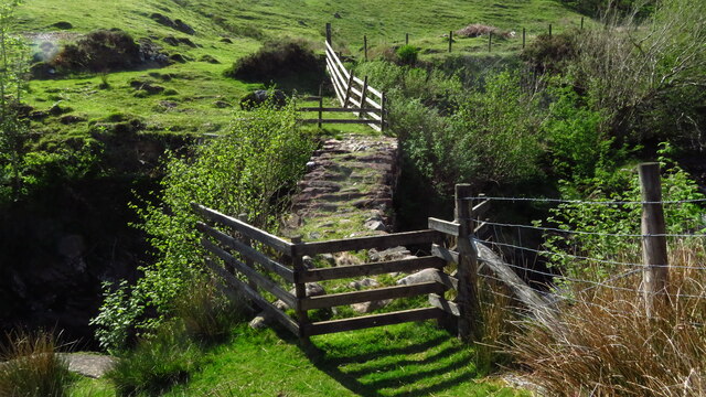
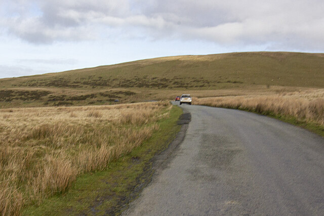
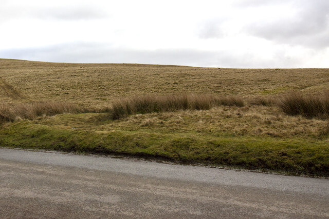
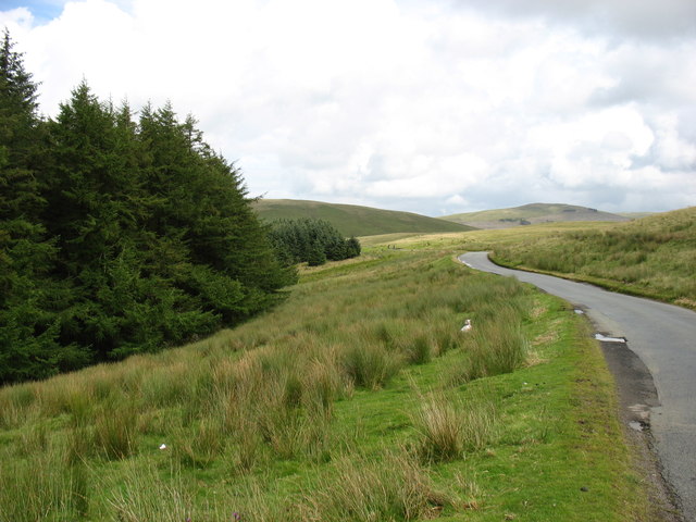
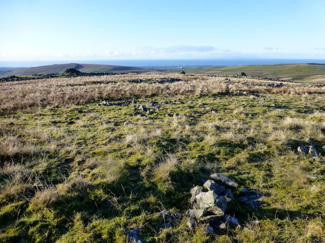
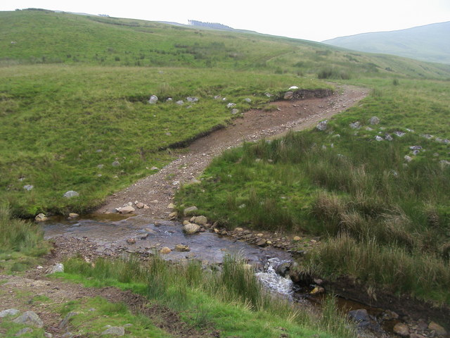
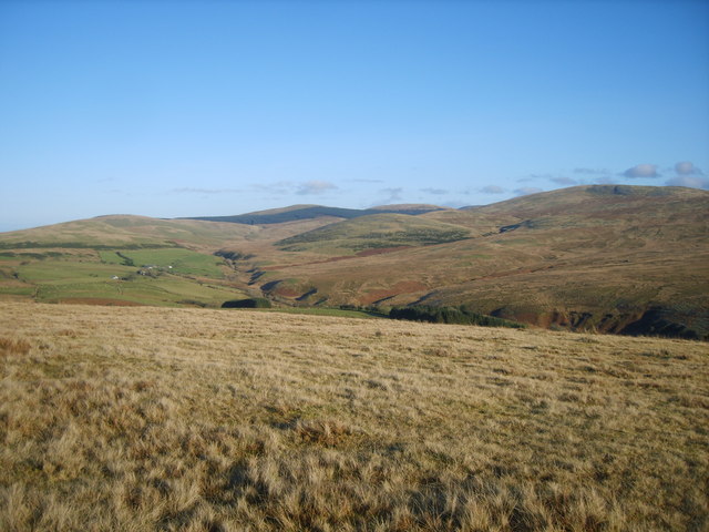
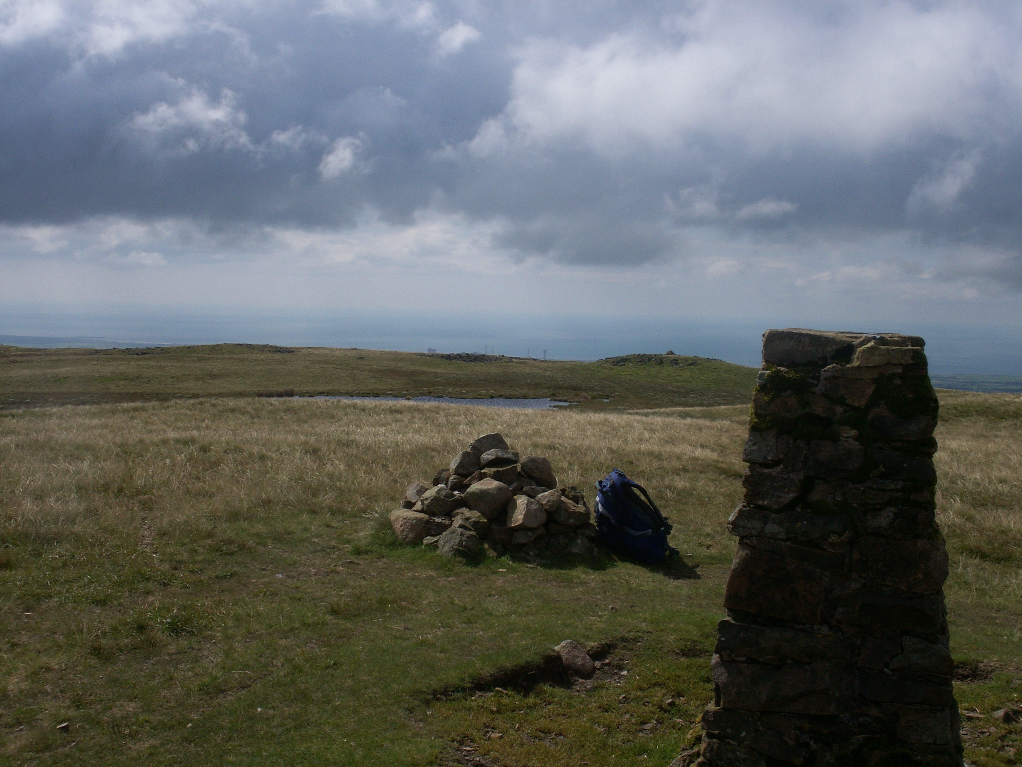
Gill Force Images
Images are sourced within 2km of 54.487578/-3.4421518 or Grid Reference NY0611. Thanks to Geograph Open Source API. All images are credited.


Gill Force is located at Grid Ref: NY0611 (Lat: 54.487578, Lng: -3.4421518)
Administrative County: Cumbria
District: Copeland
Police Authority: Cumbria
What 3 Words
///efficient.stretcher.tinny. Near Egremont, Cumbria
Nearby Locations
Related Wikis
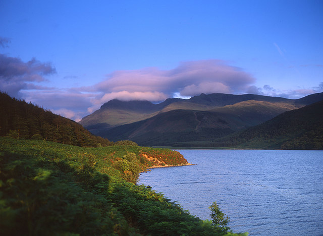
Cold Fell (Calder Bridge)
Cold Fell is a hill in the west of the English Lake District. It is easily climbed from the road between Ennerdale Bridge and Calder Bridge. This road...
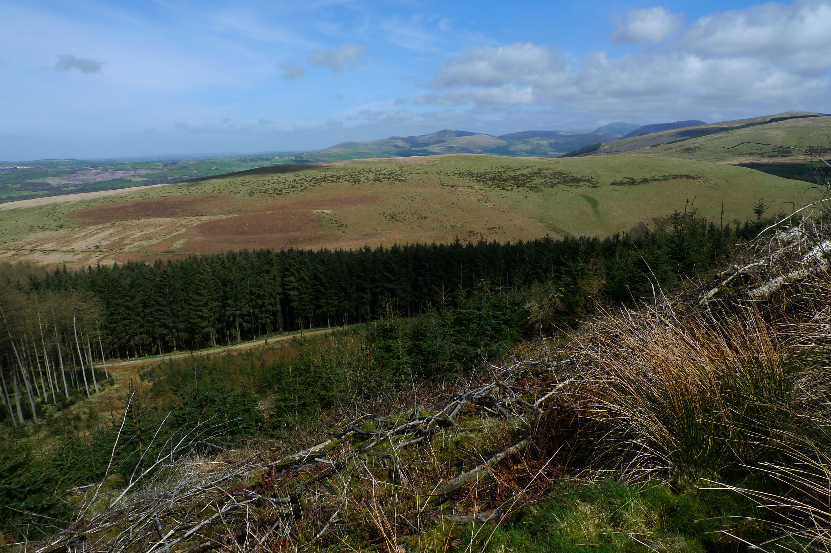
Lank Rigg
Lank Rigg is a fell in the English Lake District. It stands to the south of Ennerdale in the Western Fells. A sprawling hill with gentle grassy slopes...
Ennerdale and Kinniside
Ennerdale and Kinniside is a civil parish in Copeland, Cumbria, England. At the 2011 census it had a population of 220.The parish has an area of 8,763...

Blakeley Raise
Blakeley Raise is a fell in the English Lake District, standing at 389m. Unlike its neighbours Grike, Crag Fell and Lank Rigg it is not listed as a Wainwright...
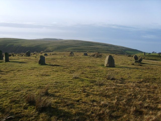
Kinniside Stone Circle
Kinniside Stone Circle (or Blakeley Raise Stone Circle) is a reconstructed stone circle in the civil parish of Ennerdale and Kinniside in Cumbria, England...
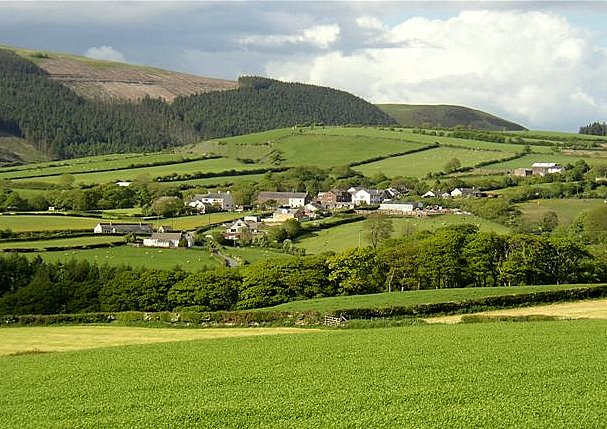
Wilton, Cumbria
Wilton is a hamlet in the Copeland district, in the county of Cumbria, England. It is near the small town of Egremont. In 1870-72 it had a population of...
Flat Fell
Flat Fell is a hill located on the edge of the English Lake District, standing at 272m. It is included in Alfred Wainwright's Outlying Fells of Lakeland...

Ennerdale Rural District
Ennerdale was a rural district in the county of Cumberland in England from 1934 to 1974. It was created in 1934 by a County Review Order, by the merger...
Related Videos

The Far Western Wainwrights | Lank Rigg , Grag Fell , Grike
A hike to the summits of Grike, Crag Fell, and Lank Rigg in the far western fells of the Lake District. With spectacular views of ...
DENT FELL - THE LAKE DISTRICT. HIKINGS EP.6
I hope you enjoyed the video! If you did make sure you hit that LIKE button! and don't forget to SUBSCRIBE!. Thanks for your ...
Nearby Amenities
Located within 500m of 54.487578,-3.4421518Have you been to Gill Force?
Leave your review of Gill Force below (or comments, questions and feedback).