An t-Eas
Waterfall in Caithness
Scotland
An t-Eas

An t-Eas, located in Caithness, Scotland, is a stunning waterfall that captivates visitors with its natural beauty. Nestled amidst picturesque landscapes, An t-Eas is a popular tourist attraction and a sight to behold. The waterfall is situated near the village of Dunbeath, making it easily accessible to both locals and tourists alike.
An t-Eas stands tall at an impressive height, with water cascading down a series of rocks, creating a mesmerizing display. The force of the water creates a soothing sound that adds to the tranquility of the surrounding area. Visitors can witness the waterfall's power as it rushes down, creating a misty spray that adds to the enchanting atmosphere.
The terrain surrounding An t-Eas is characterized by rugged cliffs and lush greenery, providing a picturesque backdrop for the waterfall. The area is rich in flora and fauna, with various species of plants and wildlife thriving in this natural habitat.
Adventure enthusiasts often visit An t-Eas for its hiking opportunities. There are several walking trails that lead to the waterfall, allowing visitors to explore the surrounding countryside and appreciate the breathtaking views along the way. These trails cater to different fitness levels, making it accessible to a wide range of individuals.
An t-Eas is not only a visual marvel but also holds historical significance. The waterfall is believed to have inspired several artists and writers over the years, contributing to the cultural heritage of the region.
In conclusion, An t-Eas, Caithness, is a captivating waterfall known for its natural beauty, soothing sounds, and breathtaking surroundings. Whether it is for a leisurely stroll or an adventure-filled hike, An t-Eas offers visitors an opportunity to immerse themselves in the splendor of nature.
If you have any feedback on the listing, please let us know in the comments section below.
An t-Eas Images
Images are sourced within 2km of 58.512682/-3.7260905 or Grid Reference NC9959. Thanks to Geograph Open Source API. All images are credited.


An t-Eas is located at Grid Ref: NC9959 (Lat: 58.512682, Lng: -3.7260905)
Unitary Authority: Highland
Police Authority: Highlands and Islands
What 3 Words
///deployed.tutorial.tested. Near Reay, Highland
Nearby Locations
Related Wikis

Broubster
Broubster is a village in Highland, Scotland. Near Broubster, there is a Bronze Age megalithic arrangement. Ten stones remain of an original set of approximately...

Shebster
Shebster is a small remote hamlet, which lies 7 miles southwest of Thurso, in northern Caithness, Scottish Highlands and is in the Scottish council area...

Achvarasdal
Achvarasdal (from the Norse placename meaning "Barr's valley", with the later, post 13th century addition of the Gaelic Ach-/Achadh- meaning "field") is...

Reay Parish Church
Reay Parish Church is a Church of Scotland parish church serving Reay, Caithness. It is one of the most northerly communities on the Scottish mainland...

Reay
Reay (Scottish Gaelic: Ràth) is a village which has grown around Sandside Bay on the north coast of the Highland council area of Scotland. It is within...

Loch Shurrery
Loch Shurrery (also known as Loch Shurrey) is a small, shallow, lowland freshwater loch lying approximately 8 mi (13 km) south west of Thurso in the Scottish...

Sandside Chase
The Sandside Chase (The Chase of Sandside, The Chase of Sansett; in Gaelic, Ruoig-Hansett, Ruaig Handside or Ruaig-Shansaid) was a Scottish clan battle...
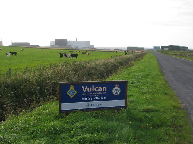
Vulcan Naval Reactor Test Establishment
Vulcan Naval Reactor Test Establishment (NRTE), formerly HMS Vulcan, is a UK Ministry of Defence (MoD) establishment in Scotland, operated by Rolls-Royce...
Have you been to An t-Eas?
Leave your review of An t-Eas below (or comments, questions and feedback).