London, Little
Settlement in Essex Uttlesford
England
London, Little
London, Little is a charming village located in the county of Essex, England. Situated approximately 25 miles northeast of London, this picturesque settlement offers a tranquil and idyllic escape from the bustling city life.
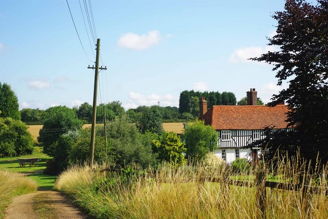
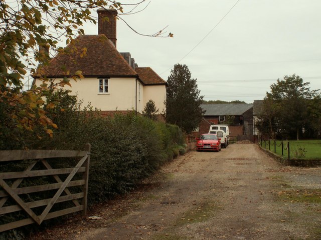
With a population of around 3,000 residents, London, Little boasts a close-knit community that takes pride in its rich history. The village is renowned for its well-preserved architecture, with many of its buildings dating back to the 17th and 18th centuries. The village center features a quaint market square, surrounded by traditional timber-framed houses and charming cottages, giving it a distinct old-world charm.
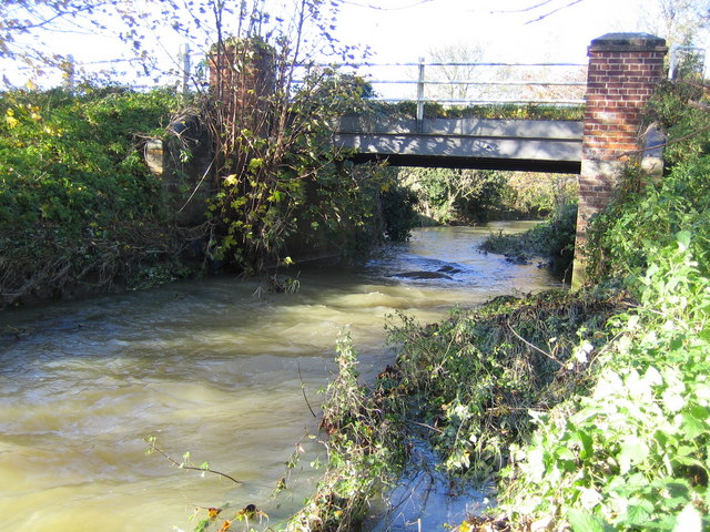
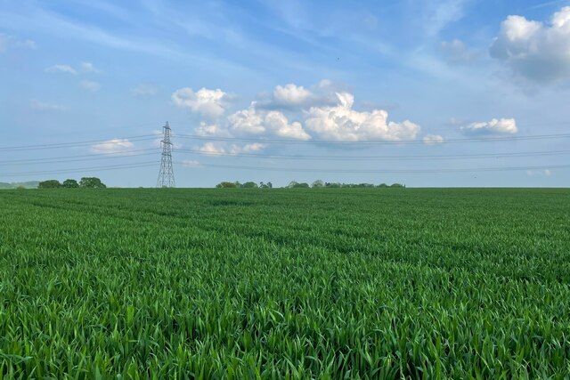
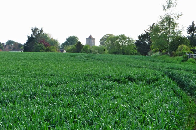
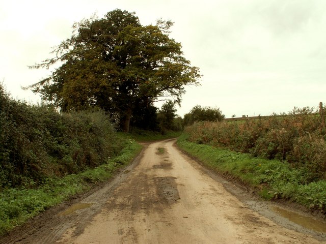
Nature enthusiasts will be delighted to explore the lush countryside that envelops London, Little. The village is nestled amidst rolling green hills, offering picturesque walking trails that lead to stunning viewpoints and tranquil picnic spots. The scenic River Stort flows through the village, providing an opportunity for leisurely walks along its banks.
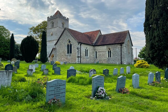
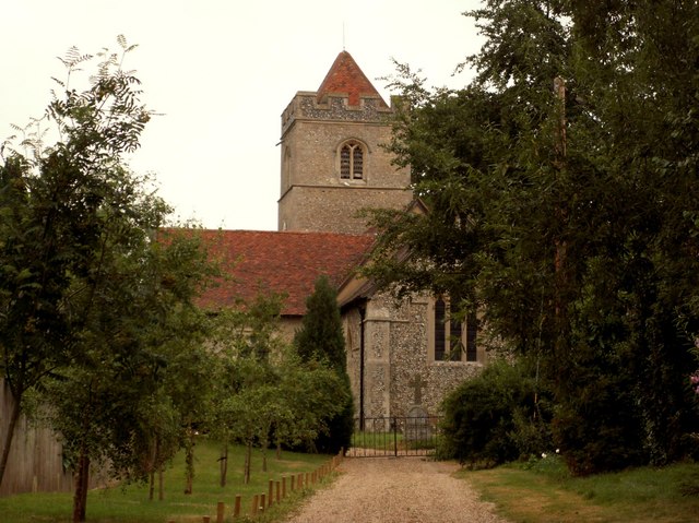
London, Little is not only known for its natural beauty but also for its rich cultural heritage. The village is home to several historic landmarks, including the St. Mary's Church, a stunning medieval structure that dates back to the 12th century. Additionally, the village hosts an annual summer fair, attracting visitors from neighboring towns who come to enjoy traditional music, food, and entertainment.
Transportation options are readily available, with regular train services connecting London, Little to the capital city in under an hour. The village also has a well-maintained road network, making it easily accessible by car.
London, Little, with its charming ambiance, historical significance, and natural beauty, offers a delightful retreat for residents and visitors alike.
If you have any feedback on the listing, please let us know in the comments section below.
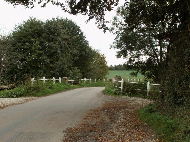
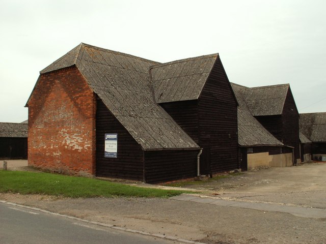
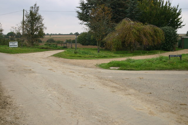
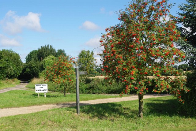
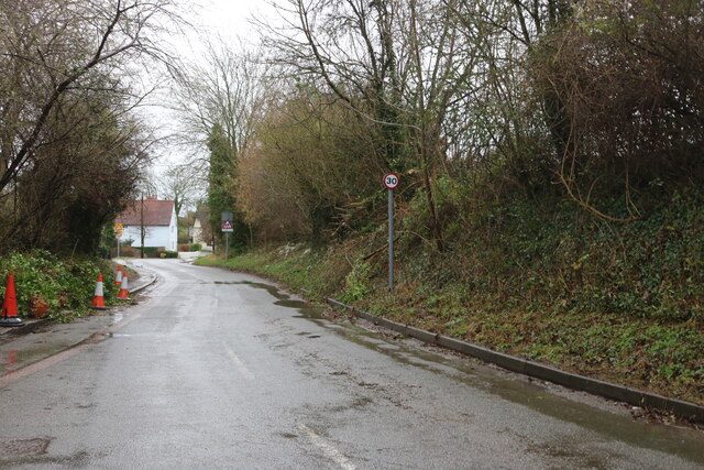
London, Little Images
Images are sourced within 2km of 51.94385/0.150377 or Grid Reference TL4729. Thanks to Geograph Open Source API. All images are credited.

London, Little is located at Grid Ref: TL4729 (Lat: 51.94385, Lng: 0.150377)
Administrative County: Essex
District: Uttlesford
Police Authority: Essex
What 3 Words
///cheering.cadet.decks. Near Stansted Mountfitchet, Essex
Nearby Locations
Related Wikis

Berden
Berden is a village and civil parish in Essex, England. Berden village is approximately 6 miles (10 km) north from Bishop's Stortford, Hertfordshire and...

Berden Priory
Berden Priory was a priory in Essex, England. This site now has a Grade II* listed late 16th-century timber-framed house, the centre of Berden Priory Farm...

St Nicholas' Church, Berden
St Nicholas' Church is a Grade I listed parish church in the village of Berden, Essex, England. Of the Early English Gothic style, the church has a Norman...
Berden Hall
Berden Hall is a Grade II* listed Elizabethan country house in Berden, in the Uttlesford District of Essex, England. The house was built in the 1580s....

Wicken Bonhunt
Wicken Bonhunt is a village and a civil parish of north-west Essex, in the non-metropolitan district of Uttlesford, England. It is on the B1038 (Buntingford...
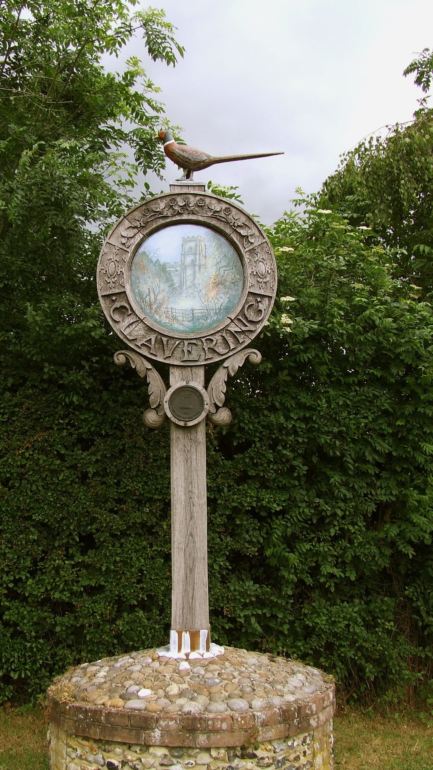
Clavering, Essex
Clavering is a village and also a parish in north-west Essex in England. It is about 20 miles (32 km) from Cambridge and 50 miles (80 km) from Southend...

Rickling, Essex
Rickling is a village and former civil parish, now in the parish of Quendon and Rickling, in the Uttlesford district of Essex, England. The village is...

Stocking Pelham
Stocking Pelham is a village and civil parish in the East Hertfordshire district of Hertfordshire, England. It is located on the border with Essex, around...
Nearby Amenities
Located within 500m of 51.94385,0.150377Have you been to London, Little?
Leave your review of London, Little below (or comments, questions and feedback).