Enoch Linn

Waterfall in Renfrewshire

Scotland

Enoch Linn

Wind turbine and track above Ardoch One of a cluster of three wind turbines above Ardoch.
Wind turbine and track above Ardoch Credit: Alan O'Dowd

Enoch Linn, situated in Renfrewshire, Scotland, is a captivating waterfall that attracts nature enthusiasts and hikers from all around. Nestled within the scenic Gleniffer Braes Country Park, this stunning cascade is a hidden gem waiting to be explored.

Enoch Linn is a tiered waterfall surrounded by lush greenery, offering a tranquil and picturesque setting. The falls are fed by the Enoch Burn, a small river that flows through the park. The water cascades down a series of rocky ledges, creating a mesmerizing display of gushing water and splashing foam. The sound of the rushing water adds to the peaceful ambiance of the area, making it a perfect spot for relaxation and contemplation.

The waterfall can be accessed through a well-maintained trail that winds through the park. The path meanders through ancient woodland, providing glimpses of native wildlife and wildflowers along the way. The hike to Enoch Linn is relatively easy, making it suitable for visitors of all ages and fitness levels.

Enoch Linn is a popular destination for photographers, as it offers numerous vantage points to capture the beauty of the falls and its surrounding natural landscape. The waterfall is particularly enchanting during the rainy season when the water flow intensifies, creating a dramatic spectacle. It is recommended to check the weather conditions before visiting to ensure an optimal experience.

Overall, Enoch Linn is a natural wonder worth exploring for its tranquility, scenic beauty, and accessibility. Whether you seek a peaceful retreat or an adventure in nature, this captivating waterfall in Renfrewshire is sure to leave a lasting impression.

If you have any feedback on the listing, please let us know in the comments section below.
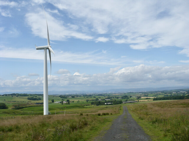
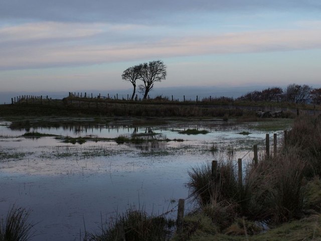
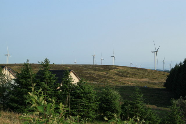
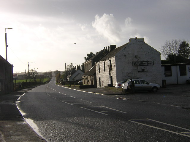
Enoch Linn Images

Images are sourced within 2km of 55.721242/-4.2637814 or Grid Reference NS5749. Thanks to Geograph Open Source API. All images are credited.

Wind turbine and track above Ardoch One of a cluster of three wind turbines above Ardoch.
Wind turbine and track above Ardoch
One of a cluster of three wind turbines above Ardoch.
Wind turbine track above Ardoch A track leading to a cluster of three wind turbines, not yet shown on the 1:50000 scale map (2023).
Wind turbine track above Ardoch
A track leading to a cluster of three wind turbines, not yet shown on the 1:50000 scale map (2023).
Windblown tree The tree sits in the lee of a slight elevation. Presumably its shape results from prevailing westerly winds.
Windblown tree
The tree sits in the lee of a slight elevation. Presumably its shape results from prevailing westerly winds.
Carrot road wetlands The single track road south of Eaglesham village passes this tiny lochan shortly before coming to an end at Carrot Farm. Often it looks like little more than a boggy corner of a field. The picture here looks north across this little lochan. Beyond the skyline the ground falls away towards Glasgow.
Carrot road wetlands
The single track road south of Eaglesham village passes this tiny lochan shortly before coming to an end at Carrot Farm. Often it looks like little more than a boggy corner of a field. The picture here looks north across this little lochan. Beyond the skyline the ground falls away towards Glasgow.
Trees by the road to Carrot Farm The road from Eaglesham that comes to an end at Carrot Farm here climbs briefly past a line of trees to a sharp corner.
Trees by the road to Carrot Farm
The road from Eaglesham that comes to an end at Carrot Farm here climbs briefly past a line of trees to a sharp corner.
Carrot Moor Farm Carrot Moor Farm with wind turbines in the background.
Carrot Moor Farm
Carrot Moor Farm with wind turbines in the background.
Wind Turbines at Carrot Moor Wind turbines at Carrot Moor Farm.
Wind Turbines at Carrot Moor
Wind turbines at Carrot Moor Farm.
Carrot Moor Farm housing Housing adjacent to Carrot Moor Farm.
Carrot Moor Farm housing
Housing adjacent to Carrot Moor Farm.
Wind swept beech tree Wind swept beech tree in field adjacent to the road to Carrot Farm.
Wind swept beech tree
Wind swept beech tree in field adjacent to the road to Carrot Farm.
Road from Carrot Road from Carrot Farm showing approaching a bad bend.
Road from Carrot
Road from Carrot Farm showing approaching a bad bend.
Grazing at Carrot Sheep grazing on the grassland near Carrot Farm.
Grazing at Carrot
Sheep grazing on the grassland near Carrot Farm.
Road arriving at Carrot Farm The single-track road from Eaglesham comes to an end at Carrot on the Eaglesham Moor. The remaining few yards of the road are private past this point.
Road arriving at Carrot Farm
The single-track road from Eaglesham comes to an end at Carrot on the Eaglesham Moor. The remaining few yards of the road are private past this point.
Road in Whitelee Forest
Clearing in Whitelee Forest
Forest road reaches the edge of the forest From just south of Carrot Farm a forest road, poorly maintained and presumably seldom used, heads East then North through Whitelee Forest. the picture shows the point where it reaches the edge of the forest and one looks out across open farmland.
Forest road reaches the edge of the forest
From just south of Carrot Farm a forest road, poorly maintained and presumably seldom used, heads East then North through Whitelee Forest. the picture shows the point where it reaches the edge of the forest and one looks out across open farmland.
Farmland south of Eaglesham The farmland shown lies south of Eaglesham village (in turn south of Glasgow) as the terrain climbs from the Central Belt to the Eaglesham Moor. The photo is taken from the end of the road through the Whitelee Forest show in <a href="https://www.geograph.org.uk/photo/3606100">NS5848 : Forest road reaches the edge of the forest</a>.
Farmland south of Eaglesham
The farmland shown lies south of Eaglesham village (in turn south of Glasgow) as the terrain climbs from the Central Belt to the Eaglesham Moor. The photo is taken from the end of the road through the Whitelee Forest show in NS5848 : Forest road reaches the edge of the forest.
Minor road near Stonebyres Farm Looking north-west in the direction of Eaglesham.
Minor road near Stonebyres Farm
Looking north-west in the direction of Eaglesham.
Carrot Burn Flowing in a small but well defined valley beside Carrot Farm.
Carrot Burn
Flowing in a small but well defined valley beside Carrot Farm.
Show me another place!

Enoch Linn is located at Grid Ref: NS5749 (Lat: 55.721242, Lng: -4.2637814)

Unitary Authority: East Renfrewshire

Police Authority: Greater Glasgow

What 3 Words

///admire.steps.spends. Near Eaglesham, East Renfrewshire

Nearby Locations

Enoch Linn

Related Wikis

Millhall

Millhall is a hamlet in East Renfrewshire, in the Central Lowlands of Scotland. It lies 0.8 miles (1.3 km) southeast of Eaglesham, 8.3 miles (13.4 km)...

Eaglesham

Eaglesham ( EE-gəl-səm) is a village in East Renfrewshire, Scotland, situated about 10 miles (16 km) south of Glasgow, 3 miles (5 km) southeast of Newton...

Jackton

Jackton is a small village lying just on the western periphery of East Kilbride in South Lanarkshire, on the B764 road (otherwise known as the 'Eaglesham...

A726 road

The A726 road in Scotland is a major route with several distinct sections with different characteristics and names; owing to its stages of construction...

Related Videos

Eaglesham - Scotland | Beautiful Scotland

The advantage of living in the country is you will always find a getaway from the busy life and into nature without having to wait for ...

Eaglesham Gala Day 2022

Eaglesham Gala 2022 Absolute Power Miami - Johnstone's Dragon - Johnstone's Twister - Hiscoes Sky Diver - Johnstone's King ...

Nearby Amenities

Located within 500m of 55.721242,-4.2637814
Power: pole
Lat/Long: 55.7174981/-4.2666545
Power: pole
Lat/Long: 55.7179899/-4.2657065
Power: pole
Lat/Long: 55.7185063/-4.2646896
Power: pole
Lat/Long: 55.719491/-4.264102
Power: pole
Lat/Long: 55.7203114/-4.2636103
Power: pole
Lat/Long: 55.7209451/-4.2632206
Power: pole
Lat/Long: 55.7214814/-4.2629102
Power: pole
Lat/Long: 55.7221492/-4.2625434
Power: pole
Lat/Long: 55.7229284/-4.2620454
Power: pole
Lat/Long: 55.7234189/-4.2625205
Power: pole
Lat/Long: 55.7240655/-4.2631519
Power: pole
Lat/Long: 55.7249304/-4.2639708
Power: pole
Lat/Long: 55.7203114/-4.2623913
Power: pole
Lat/Long: 55.720302/-4.2611328
Power: pole
Lat/Long: 55.7202902/-4.260068
Power: pole
Lat/Long: 55.7202961/-4.258722
Power: pole
Lat/Long: 55.7202891/-4.2572988
Power: pole
Lat/Long: 55.7202503/-4.2563507
Power: pole
Lat/Long: 55.7212537/-4.2563362
Power: pole
Lat/Long: 55.7221128/-4.256632
Power: pole
Lat/Long: 55.7225071/-4.2568029
Power: pole
Lat/Long: 55.7225998/-4.2577447
Power: pole
Lat/Long: 55.7227054/-4.2587866
The data included in this document is from www.openstreetmap.org. The data is made available under ODbL.

Have you been to Enoch Linn?

Leave your review of Enoch Linn below (or comments, questions and feedback).