Blairessan Spout

Waterfall in Stirlingshire

Scotland

Blairessan Spout

River Endrick A walk along the Endrick on a Sunday Afternoon
River Endrick Credit: richard newall

Blairessan Spout, located in Stirlingshire, is a picturesque waterfall nestled within the scenic countryside of Scotland. Situated near the village of Blairessan, this natural wonder is a popular attraction for both locals and tourists alike.

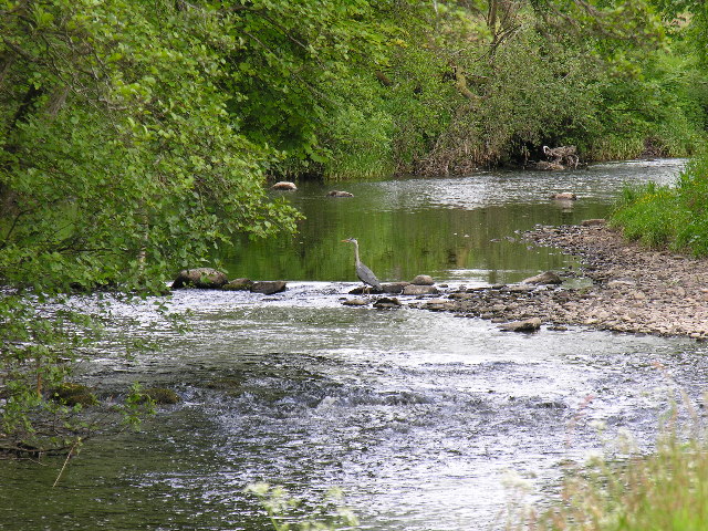
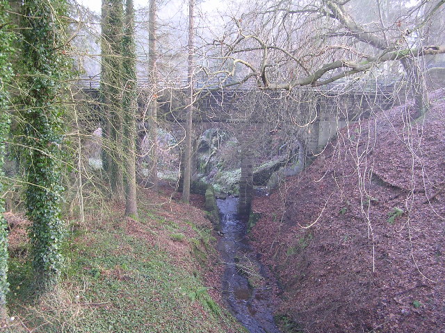
The waterfall is formed by the Blairessan Burn, a small river that flows down from the surrounding hills and eventually cascades over a series of rocky ledges. Blairessan Spout stands at an impressive height of approximately 15 meters, creating a mesmerizing spectacle as the water plummets into a deep pool below.

Visitors to Blairessan Spout can enjoy a tranquil and serene environment, surrounded by lush greenery and the soothing sound of rushing water. The area is a haven for nature enthusiasts, offering opportunities for hiking, birdwatching, and photography.

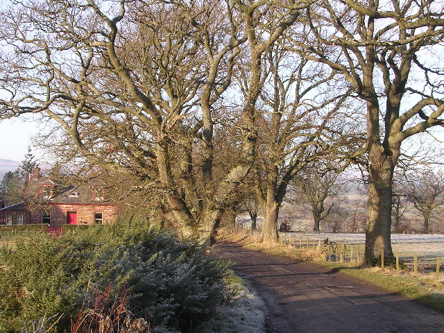
To reach Blairessan Spout, visitors can embark on a short but scenic walk from the village of Blairessan. The trail winds through beautiful woodlands and meadows, providing glimpses of wildlife and stunning views of the surrounding landscape.

It is worth noting that the waterfall is at its most impressive after heavy rainfall, when the water thunders down with even greater force. However, caution should be exercised during wet weather, as the path leading to the waterfall can become slippery.

Blairessan Spout offers a peaceful retreat from the hustle and bustle of everyday life, allowing visitors to connect with nature and experience the breathtaking beauty of this hidden gem in Stirlingshire.

If you have any feedback on the listing, please let us know in the comments section below.

Blairessan Spout Images

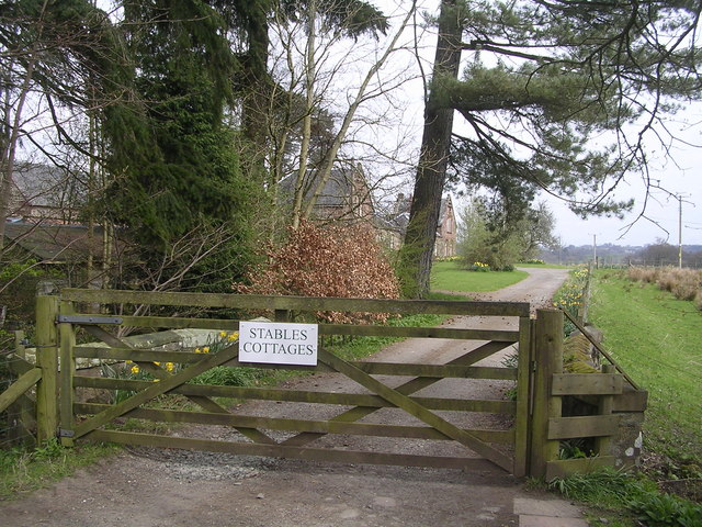
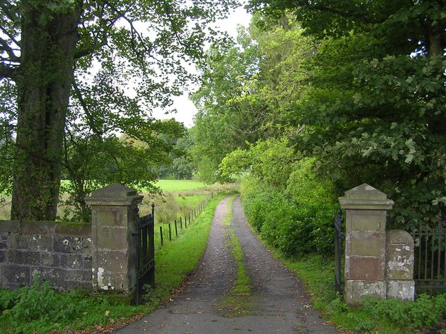
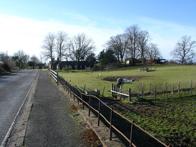
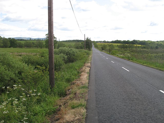
Images are sourced within 2km of 56.05162/-4.3667606 or Grid Reference NS5286. Thanks to Geograph Open Source API. All images are credited.

River Endrick A walk along the Endrick on a Sunday Afternoon
River Endrick
A walk along the Endrick on a Sunday Afternoon
Killearn church This church was built in 1882.
Killearn church
This church was built in 1882.
Last House in Killearn Before hitting open countryside to the south west
Last House in Killearn
Before hitting open countryside to the south west
Killearn Churches on Remembrance Sunday
Killearn Cemetery and The Firs
Aqueduct across Kirkhouse Burn, Killearn This is carrying the water pipes from Loch Katrine to Glasgow
Aqueduct across Kirkhouse Burn, Killearn
This is carrying the water pipes from Loch Katrine to Glasgow
Home Farm Cottage, near Boquhan
Ballochruin Farm plus Llama
Footbridge across the Endrick Water A very secluded stretch of river
Footbridge across the Endrick Water
A very secluded stretch of river
Gateway to Carbeth House Private Grounds I didn't feel comfortable to walk through the grounds of Carbeth House, so this was my point of closest approach.
Gateway to Carbeth House Private Grounds
I didn't feel comfortable to walk through the grounds of Carbeth House, so this was my point of closest approach.
Bend in the Endrick Water Sharp bend on secluded stretch of river
Bend in the Endrick Water
Sharp bend on secluded stretch of river
Driveway to Boquhan Old House
Heron's Court
Heron's Court
Katrine Aqueduct at Killearn These four nondescript trapdoors near the main road contain a secret, one that doesn't even appear on the OS map. These service hatches provide access to the underground aqueduct that provides Glasgow's water supply - from Loch Katrine, to Milngavie Water Works. The aqueduct was opened by Queen Victoria at the turn of the century, and was a major engineering feat with most of the work (and route) being invisible (unless you knew where to look).  The next access to the aqueduct southwards is within the village of Blanefield.
Katrine Aqueduct at Killearn
These four nondescript trapdoors near the main road contain a secret, one that doesn't even appear on the OS map. These service hatches provide access to the underground aqueduct that provides Glasgow's water supply - from Loch Katrine, to Milngavie Water Works. The aqueduct was opened by Queen Victoria at the turn of the century, and was a major engineering feat with most of the work (and route) being invisible (unless you knew where to look). The next access to the aqueduct southwards is within the village of Blanefield.
Auchenibert Lane Looking northwest
Auchenibert Lane
Looking northwest
Parish Church The Church and Obelisk at Killearn on the main road through the town.
Parish Church
The Church and Obelisk at Killearn on the main road through the town.
Killearn An image of the main street Killearn on a winter's day.
Killearn
An image of the main street Killearn on a winter's day.
The Black Bull Hotel and pub, Killearn.  The car park was being used for a small orienteering event. As ever in 2008, a wet evening.
The Black Bull
Hotel and pub, Killearn. The car park was being used for a small orienteering event. As ever in 2008, a wet evening.
Show me another place!

Blairessan Spout is located at Grid Ref: NS5286 (Lat: 56.05162, Lng: -4.3667606)

Unitary Authority: Stirling

Police Authority: Forth Valley

What 3 Words

///jams.minerals.mealtime. Near Killearn, Stirling

Nearby Locations

Spittal Blairessan Spout

Related Wikis

Killearn

Killearn (Scottish Gaelic: Cill Fhearann, from orig. Ceann Fhearann, "Head/End of (the) Land/Territory" – until the 15th century when Ceann was replaced...

Boquhan

Boquhan (pronounced Bowhan) is a hamlet in Stirling, Scotland, sometimes known as Wester Boquhan to distinguish it from the other nearby Boquhan, near...

A81 road

The A81 road is a major road in Scotland. It runs from Glasgow to Callander via Woodside and Maryhill within the city, as well as Bearsden, Milngavie and...

Killearn railway station

Killearn railway station served the village of Killearn, Stirling, Scotland from 1882 to 1951 on the Blane Valley Railway. == History == The station opened...

Nearby Amenities

Located within 500m of 56.05162,-4.3667606
Power: pole
Lat/Long: 56.0510606/-4.3597377
Power: pole
Lat/Long: 56.0508289/-4.3592139
The data included in this document is from www.openstreetmap.org. The data is made available under ODbL.

Have you been to Blairessan Spout?

Leave your review of Blairessan Spout below (or comments, questions and feedback).