London, Little
Settlement in Lincolnshire South Holland
England
London, Little
London, Little is a charming village located in the county of Lincolnshire, England. Situated in the heart of the East Midlands, this picturesque settlement is brimming with natural beauty and historical significance. With a population of around 1,500 residents, London, Little offers a close-knit community atmosphere that is highly sought after by locals and visitors alike.
The village is characterized by its idyllic rural setting, surrounded by lush green fields and rolling hills. The River Witham meanders through the area, adding to its scenic allure. London, Little is renowned for its stunning countryside walks and cycling routes, making it a haven for outdoor enthusiasts.
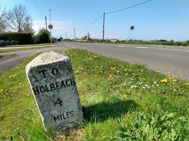
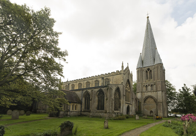
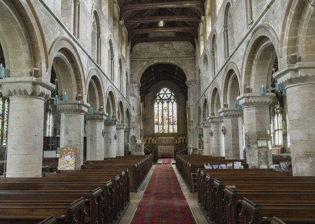
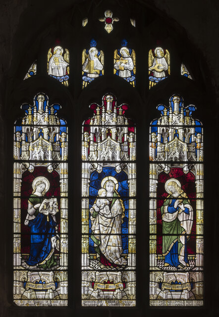
Historically, the village has strong ties to agriculture, with farming playing a vital role in the local economy. Traditional thatched-roof cottages dot the landscape, providing a glimpse into the area's rich heritage. The village church, St. Peter's, stands as a historic landmark, offering a fascinating insight into the region's architectural past.
London, Little boasts a range of amenities to cater to its residents' needs. There are several local shops, a primary school, and a community center that hosts various events throughout the year. The village also benefits from excellent transport links, with nearby train stations providing easy access to larger towns and cities.
Overall, London, Little encapsulates the quintessential English village experience. Its natural beauty, rich history, and tight-knit community make it a truly special place to live or visit in Lincolnshire.
If you have any feedback on the listing, please let us know in the comments section below.
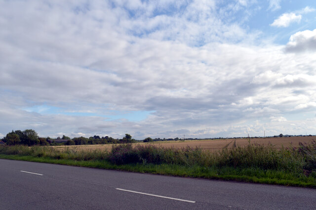
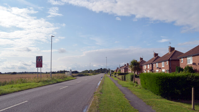
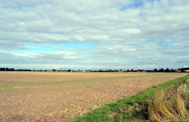
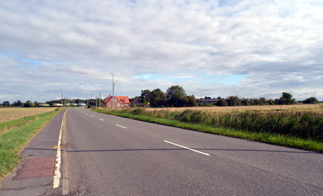
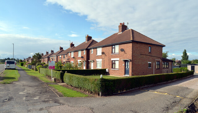
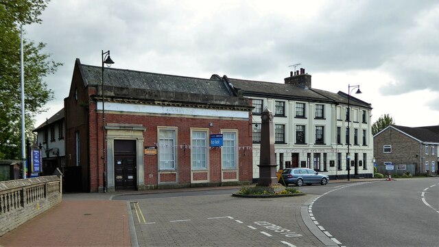
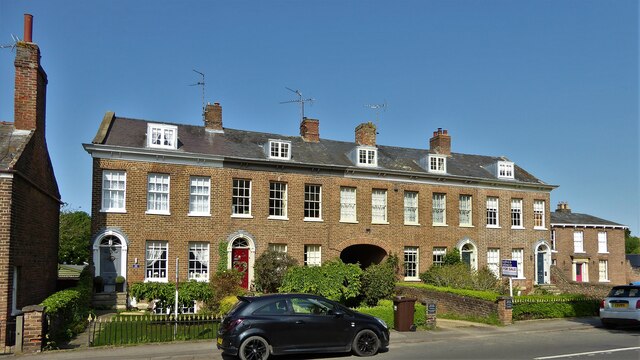
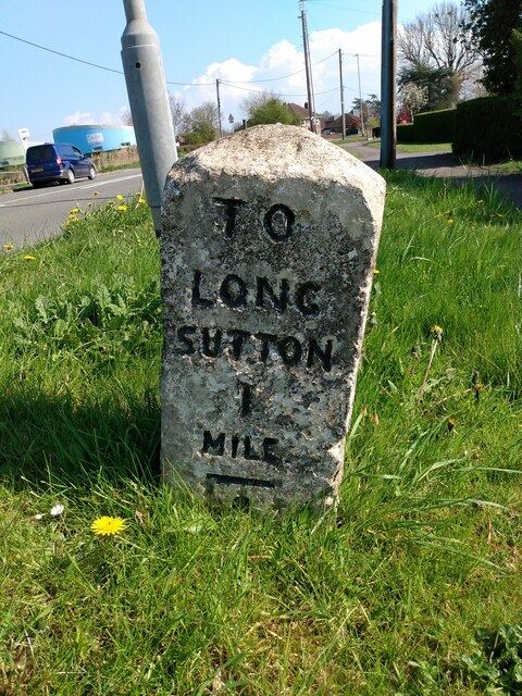
London, Little Images
Images are sourced within 2km of 52.790824/0.129033 or Grid Reference TF4323. Thanks to Geograph Open Source API. All images are credited.


London, Little is located at Grid Ref: TF4323 (Lat: 52.790824, Lng: 0.129033)
Division: Parts of Holland
Administrative County: Lincolnshire
District: South Holland
Police Authority: Lincolnshire
What 3 Words
///shuttling.dressy.delusions. Near Sutton Bridge, Lincolnshire
Nearby Locations
Related Wikis

University Academy Long Sutton
University Academy Long Sutton (formerly The Peele Community College) is a co-educational secondary school located in Long Sutton in the English county...
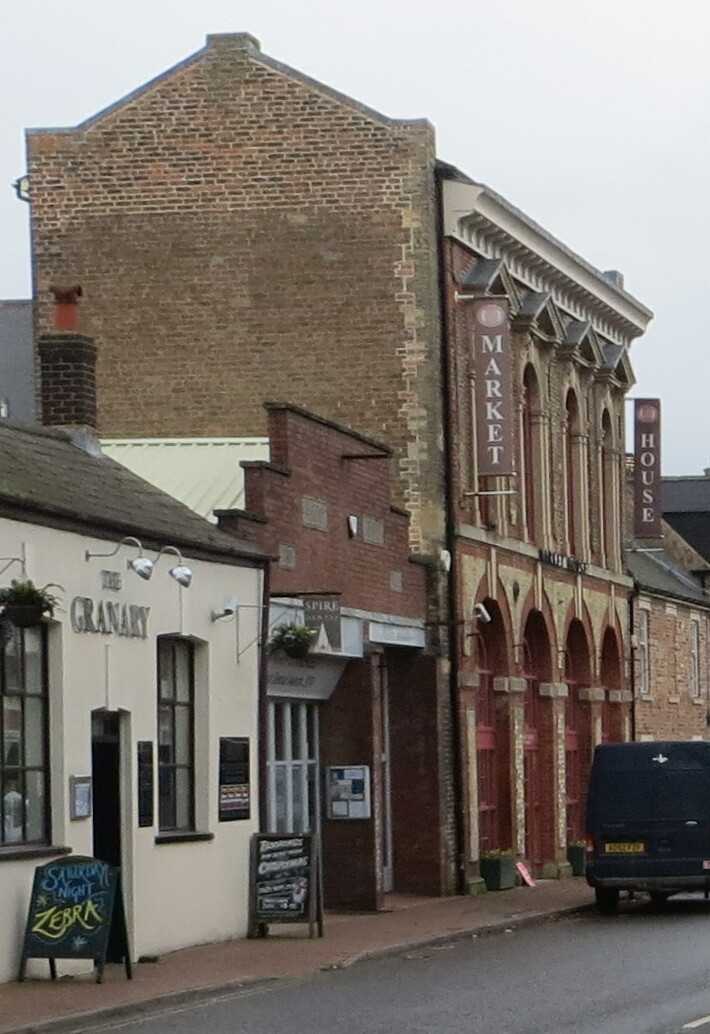
Long Sutton Market House
Long Sutton Market House, also known as Long Sutton Market House and Corn Exchange, is a commercial building in Market Street in Long Sutton, Lincolnshire...

Long Sutton, Lincolnshire
Long Sutton is a market town in the South Holland district of Lincolnshire, England. It lies in The Fens, close to the Wash, 13 miles (21 km) east of Spalding...
Long Sutton railway station
Long Sutton railway station was a station in Long Sutton, Lincolnshire, England. It was part of the Midland and Great Northern Joint Railway which closed...
Nearby Amenities
Located within 500m of 52.790824,0.129033Have you been to London, Little?
Leave your review of London, Little below (or comments, questions and feedback).