Gotter Linn

Waterfall in Renfrewshire

Scotland

Gotter Linn

Newton House Capitalization
Newton House Credit: wfmillar

Gotter Linn is a picturesque waterfall located in Renfrewshire, Scotland. Situated in a secluded area surrounded by lush greenery, it is a popular spot for nature lovers and outdoor enthusiasts. The waterfall cascades down a series of rocky ledges, creating a soothing sound as the water flows into a small pool below.

Visitors can access Gotter Linn via a short hike through the forest, following a well-marked trail that leads to the waterfall. The area is known for its tranquility and natural beauty, making it a peaceful retreat for those looking to escape the hustle and bustle of everyday life.

The waterfall is particularly stunning after a heavy rainfall, when the water flows more vigorously and creates a dramatic spectacle. Many visitors enjoy taking photos of the waterfall and its surrounding landscape, capturing the beauty of this hidden gem in Renfrewshire.

Overall, Gotter Linn is a serene and picturesque destination that offers a refreshing escape into nature for those seeking a peaceful and scenic retreat.

If you have any feedback on the listing, please let us know in the comments section below.
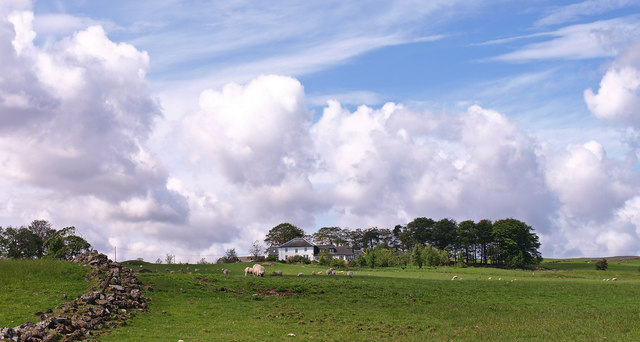
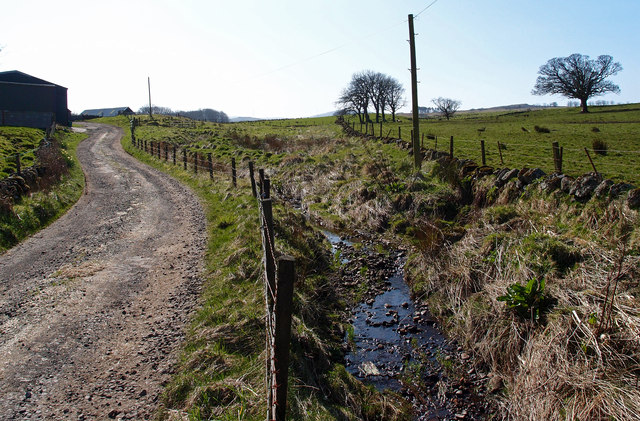
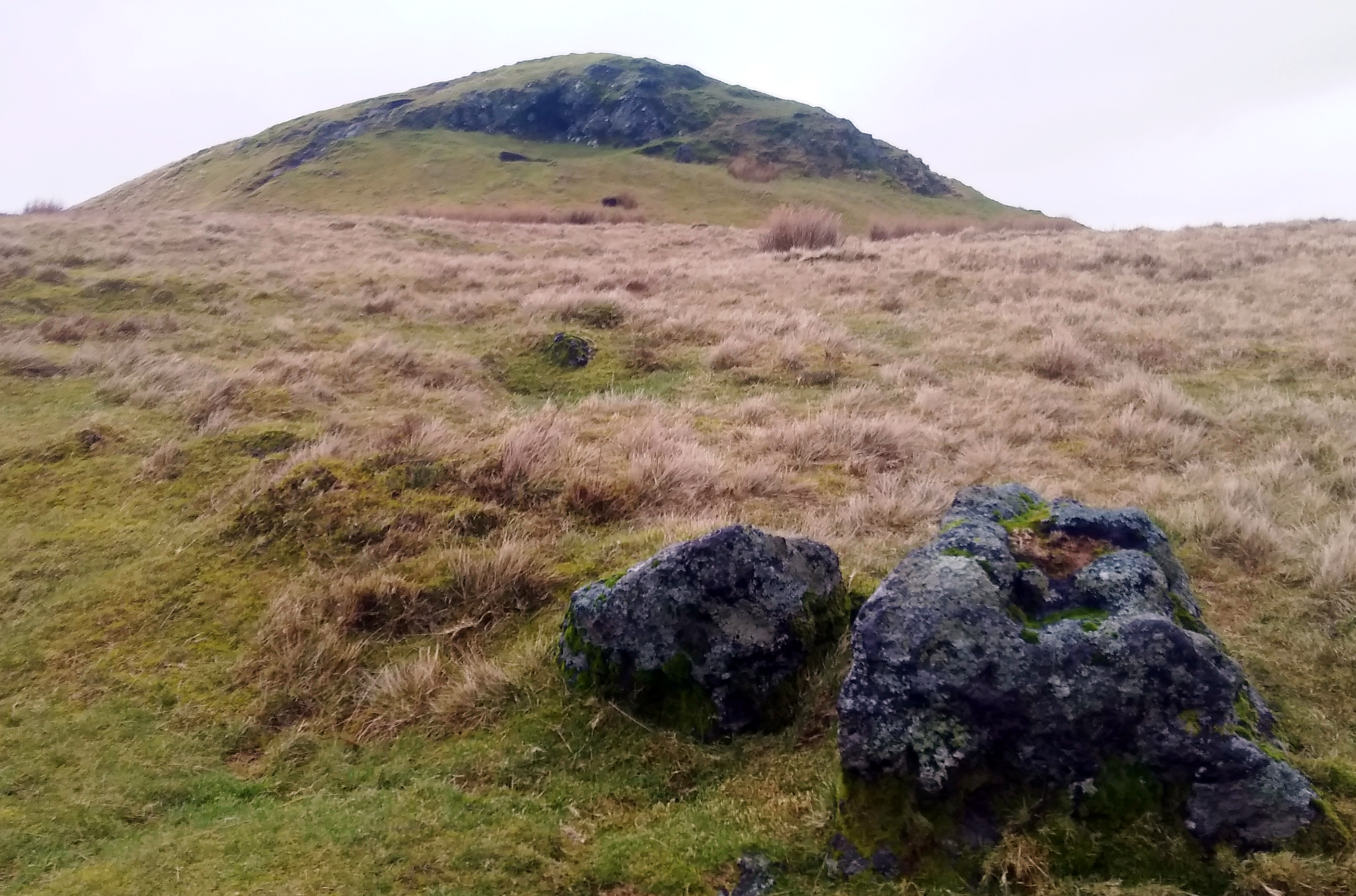
Gotter Linn Images

Images are sourced within 2km of 55.859427/-4.6452413 or Grid Reference NS3466. Thanks to Geograph Open Source API. All images are credited.

Newton House Capitalization
Newton House
Capitalization
Ruined Cottage Trees have taken up residence.
Ruined Cottage
Trees have taken up residence.
South Newton Converted farmhouse now used by Girl Guide Association
South Newton
Converted farmhouse now used by Girl Guide Association
Killochries Farm Kilmacolm
High Branchal Farm Small Bridge crosses Mill Burn to the farm <span class="nowrap"><a title="http://www.branchalholsteins.co.uk" rel="nofollow ugc noopener" href="http://www.branchalholsteins.co.uk">Link</a><img style="margin-left:2px;" alt="External link" title="External link - shift click to open in new window" src="https://s1.geograph.org.uk/img/external.png" width="10" height="10"/></span>
High Branchal Farm
Small Bridge crosses Mill Burn to the farm LinkExternal link
Slurry, High Branchal Farm The slurry is fed from the holding tank through an umbilical hose about 1.5 Km long to this tractor which then sprays.
Slurry, High Branchal Farm
The slurry is fed from the holding tank through an umbilical hose about 1.5 Km long to this tractor which then sprays.
Farm Track, Barnshake Farm Small burn flows beside the track which forms Spoutal Burn and joins Mill Burn.
Farm Track, Barnshake Farm
Small burn flows beside the track which forms Spoutal Burn and joins Mill Burn.
Slurry, High Branchal Farm The slurry is pumped from the holding tank through an umbilical hose about 1.5 Km long to this tractor which then sprays. Kilmacolm in the distance.
Slurry, High Branchal Farm
The slurry is pumped from the holding tank through an umbilical hose about 1.5 Km long to this tractor which then sprays. Kilmacolm in the distance.
Duchal Mains Farm
Duchal Mains Farm
B786 at Stepends Cottages
B786 near Duchal Mains
B786 at Knockbuckle
B786 at Knockbuckle
B786 approaching South Gibblaston
Road Junction for Bridge of Weir from near Carruth House
B786 at Tandlebrae wood
B786 south of Tandlebrae
Quarrier's Village Small village near Bridge of Weir.  Originally established to provide homes for orphans by William Quarrier, it remains the home of the charity which bears his name.
Quarrier's Village
Small village near Bridge of Weir. Originally established to provide homes for orphans by William Quarrier, it remains the home of the charity which bears his name.
Law View Road, Quarriers Village
Show me another place!

Gotter Linn is located at Grid Ref: NS3466 (Lat: 55.859427, Lng: -4.6452413)

Unitary Authority: Inverclyde

Police Authority: Renfrewshire and Inverclyde

What 3 Words

///timidly.drizzly.sake. Near Kilmacolm, Inverclyde

Nearby Locations

Gotter Linn

Related Wikis

Quarrier's Village

Quarrier's Village or Quarriers Village is a small settlement in the civil parish of Kilmacolm in Inverclyde council area and the historic county of Renfrewshire...

Duchal House

Duchal House is an 18th-century mansion and estate near Kilmacolm, Scotland. It is located in Inverclyde, in the former county of Renfrewshire. Duchal...

Windy Hill, Renfrewshire

Windy Hill is a 316 metres (1.037 feet) high hill in Renfrewshire, Scotland. It is one of the TuMPs of the Lowlands. == Geography == The hill is located...

Windy Hill, Kilmacolm

Windy Hill or Windyhill is a house designed by Charles Rennie Mackintosh and furnished by him and his wife, Margaret Macdonald, in Kilmacolm, Scotland...

Nearby Amenities

Located within 500m of 55.859427,-4.6452413
Power: pole
Lat/Long: 55.8637964/-4.6455286
Power: pole
Lat/Long: 55.8634317/-4.6446016
Power: pole
Lat/Long: 55.8629466/-4.6434225
Power: pole
Lat/Long: 55.8624906/-4.6423684
Power: pole
Lat/Long: 55.8619494/-4.6410498
Power: pole
Lat/Long: 55.8613976/-4.6397811
Power: pole
Lat/Long: 55.8608352/-4.6389228
Power: pole
Lat/Long: 55.8602893/-4.6381354
Power: pole
Lat/Long: 55.8597199/-4.6373
Power: pole
Lat/Long: 55.8627993/-4.6412997
Power: pole
Lat/Long: 55.8621785/-4.6435308
Power: pole
Lat/Long: 55.8619201/-4.6445079
The data included in this document is from www.openstreetmap.org. The data is made available under ODbL.

Have you been to Gotter Linn?

Leave your review of Gotter Linn below (or comments, questions and feedback).