London, Little

Settlement in Lincolnshire South Holland

England

London, Little

Cradge Bank Road The Welland Bank on the left. The Spalding bypass crossing in the distance.
Cradge Bank Road Credit: Jonathan Thacker

London, Little is a small village located in the county of Lincolnshire, England. With a population of around 300 residents, London, Little is a tight-knit community that exudes charm and tranquility. The village is surrounded by picturesque countryside, offering residents and visitors stunning views and a peaceful atmosphere.

London, Little is known for its historic buildings, including the charming St. Mary's Church, which dates back to the 12th century. The village also has a community hall, a primary school, and a local pub, providing essential amenities for its residents.

The village is well-connected by road, with easy access to neighboring towns and cities such as Lincoln and Boston. The surrounding area offers opportunities for outdoor activities such as walking, cycling, and fishing, making it an ideal location for those who enjoy the great outdoors.

Overall, London, Little is a quaint and idyllic village that offers a peaceful retreat from the hustle and bustle of city life. Its rich history, picturesque surroundings, and strong sense of community make it a delightful place to live or visit.

If you have any feedback on the listing, please let us know in the comments section below.

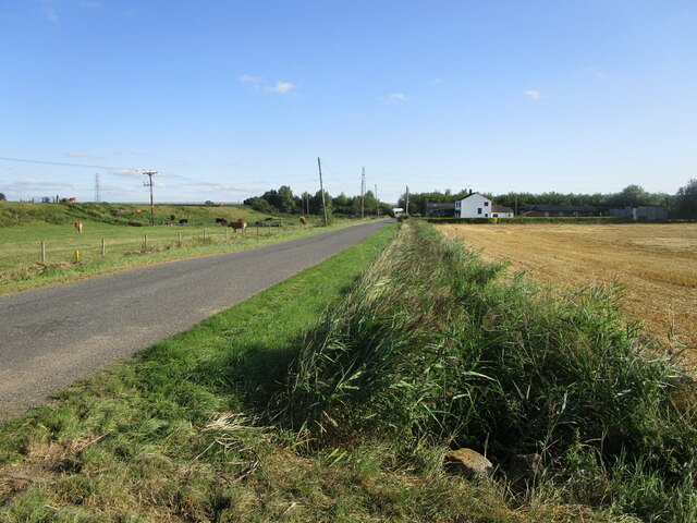
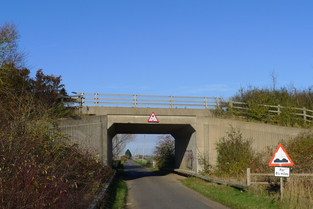
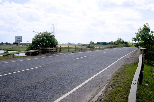
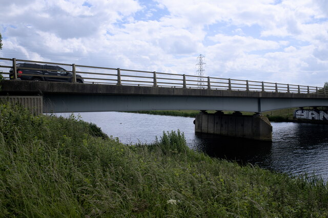
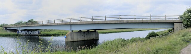
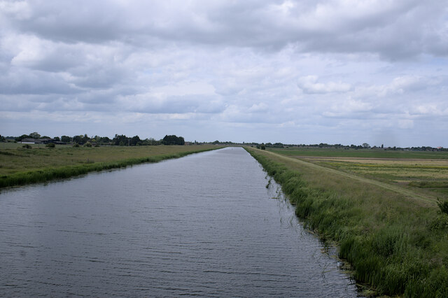
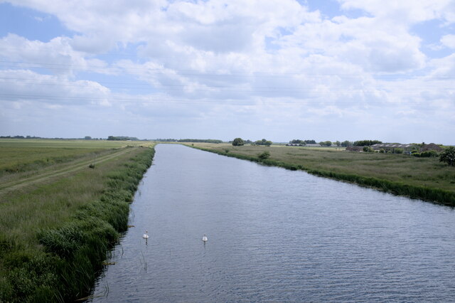
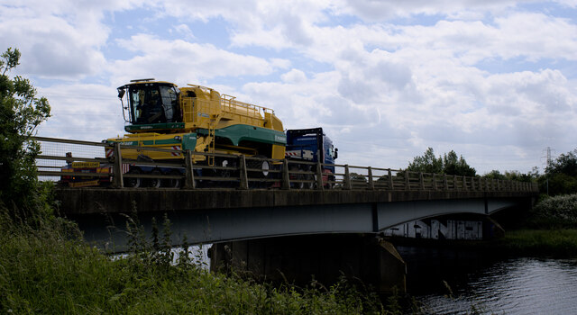
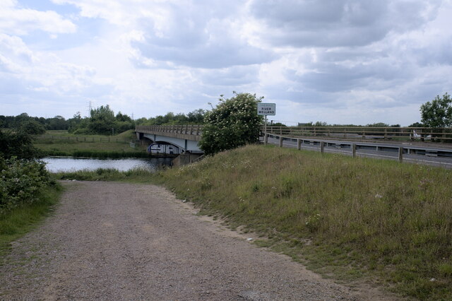
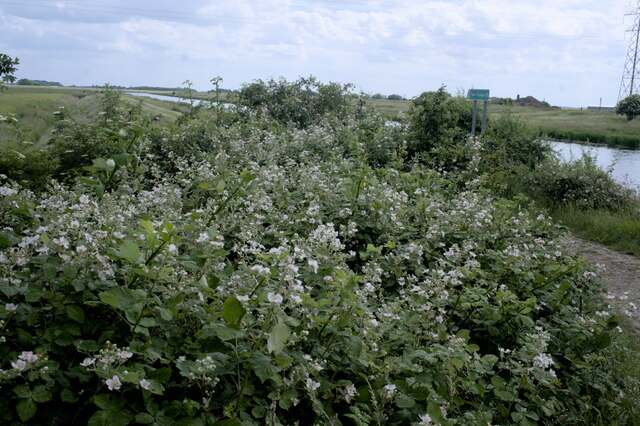
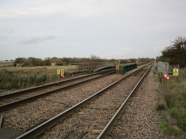
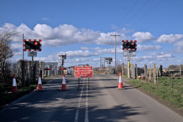
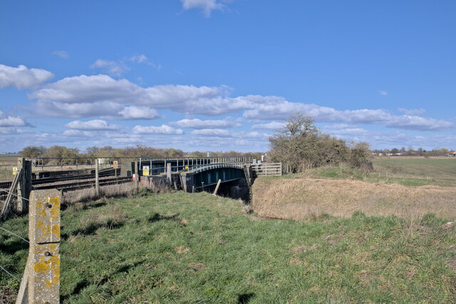
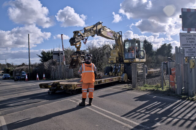
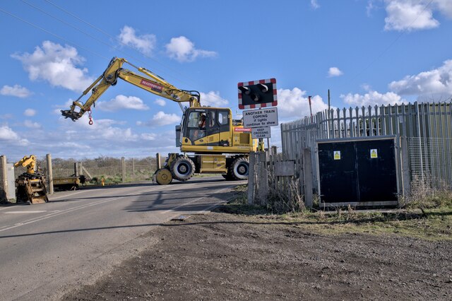
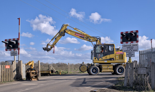
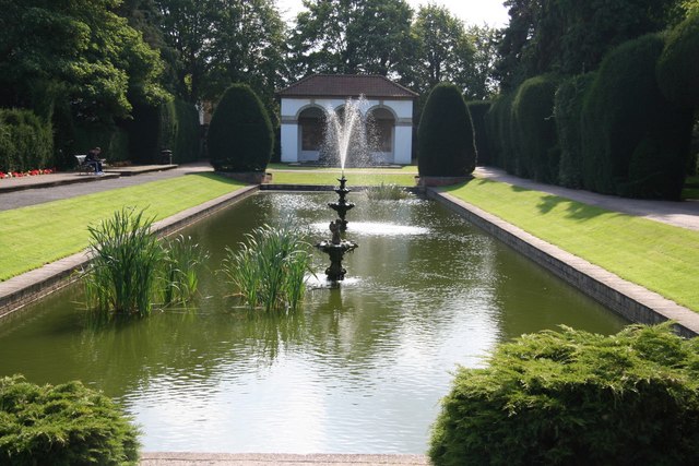
London, Little Images

Images are sourced within 2km of 52.772287/-0.16546863 or Grid Reference TF2320. Thanks to Geograph Open Source API. All images are credited.

Cradge Bank Road The Welland Bank on the left. The Spalding bypass crossing in the distance.
Cradge Bank Road
The Welland Bank on the left. The Spalding bypass crossing in the distance.
Cradge Bank Road passing under the A1175
Deck of a bridge This bridge carries the A1175 over the River Welland to the south of Spalding.  The A1175 is the road formally the route of the A16 between Spalding Common and Stamford, but when the bypass was built to the east of Spalding in 1995, this route was extended over the Welland to connect with the new route of the A16, which now goes down to join the Peterborough ring roads by passing to the east of Crownland.
Deck of a bridge
This bridge carries the A1175 over the River Welland to the south of Spalding. The A1175 is the road formally the route of the A16 between Spalding Common and Stamford, but when the bypass was built to the east of Spalding in 1995, this route was extended over the Welland to connect with the new route of the A16, which now goes down to join the Peterborough ring roads by passing to the east of Crownland.
Welland Bridge A side view of the bridge in <a href="https://www.geograph.org.uk/photo/7204972">TF2319 : Deck of a bridge</a>.
Welland Bridge
A side view of the bridge in TF2319 : Deck of a bridge.
Across the Welland This is the bridge seen in <a href="https://www.geograph.org.uk/photo/7204972">TF2319 : Deck of a bridge</a>, from the Southern side.  Built in 1995 as part of the Spalding Bypass scheme, the similarities to <a href="https://www.geograph.org.uk/photo/7204203">TF2625 : Bypass over the Welland</a> at the other end of the town are obvious.  These two are the most modern bridges across the Welland.
Across the Welland
This is the bridge seen in TF2319 : Deck of a bridge, from the Southern side. Built in 1995 as part of the Spalding Bypass scheme, the similarities to TF2625 : Bypass over the Welland at the other end of the town are obvious. These two are the most modern bridges across the Welland.
The River Welland Looking downstream toward Spalding from <a href="https://www.geograph.org.uk/photo/7204972">TF2319 : Deck of a bridge</a>.
The River Welland
Looking downstream toward Spalding from TF2319 : Deck of a bridge.
Looking upstream The Welland seen from <a href="https://www.geograph.org.uk/photo/7204972">TF2319 : Deck of a bridge</a>, looking upstream across the fens of Lincolnshire.
Looking upstream
The Welland seen from TF2319 : Deck of a bridge, looking upstream across the fens of Lincolnshire.
Big load on the bridge A large, expensive, and very shiny combine harvester, sans cutters, on a low loader crossing the Welland Bridge.
Big load on the bridge
A large, expensive, and very shiny combine harvester, sans cutters, on a low loader crossing the Welland Bridge.
The track down to the riverbank The riverbank in question is, as the sign on the bridge says, the River Welland.
The track down to the riverbank
The riverbank in question is, as the sign on the bridge says, the River Welland.
Bramble patch A patch of brambles near the River Welland.  A fenland view beyond.
Bramble patch
A patch of brambles near the River Welland. A fenland view beyond.
Railway crossing South Drove Drain
Crossing Closed The level crossing on South Drove was used as part of the works in Deeping St Nicholas (and the two accommodation crossings between there and here), to give access for maintenance vehicles.  Here it has been briefly closed.
Crossing Closed
The level crossing on South Drove was used as part of the works in Deeping St Nicholas (and the two accommodation crossings between there and here), to give access for maintenance vehicles. Here it has been briefly closed.
Bridge over fenland drain The railway line to Spalding carried over the South Drove Drain.
Bridge over fenland drain
The railway line to Spalding carried over the South Drove Drain.
Railway machinery A road-rail machine with two flat cars.  It is coming here to clear the line so that possession can be relinquished by the maintainers in due course.

The machine is based on a Komatsu PW160 excavator with liftable rail wheels added, and some towing eyes for the trucks.
Railway machinery
A road-rail machine with two flat cars. It is coming here to clear the line so that possession can be relinquished by the maintainers in due course. The machine is based on a Komatsu PW160 excavator with liftable rail wheels added, and some towing eyes for the trucks.
Taking a bow The rail trucks have been uncoupled, and the machine is making the transition to road wheels - the rail wheels at the back are being raised, which lowers the road wheels onto the ground.  The transition is complete in <a href="https://www.geograph.org.uk/photo/7417783">TF2219 : All-square</a>.
Taking a bow
The rail trucks have been uncoupled, and the machine is making the transition to road wheels - the rail wheels at the back are being raised, which lowers the road wheels onto the ground. The transition is complete in TF2219 : All-square.
All-square After <a href="https://www.geograph.org.uk/photo/7417770">TF2219 : Taking a bow</a> The front rail wheels were lifted and the machine is standing on rubber tyres.
All-square
After TF2219 : Taking a bow The front rail wheels were lifted and the machine is standing on rubber tyres.
Recovering the rail truck After <a href="https://www.geograph.org.uk/photo/7417783">TF2219 : All-square</a> saw the powered unit leave the railway, it used it's lifting arm to recover one of the towed rail trucks, which will be stored in the crossing yard.
Recovering the rail truck
After TF2219 : All-square saw the powered unit leave the railway, it used it's lifting arm to recover one of the towed rail trucks, which will be stored in the crossing yard.
A careful manoeuvre  The forward rail truck from the machine seen in <a href="https://www.geograph.org.uk/photo/7417753">TF2219 : Railway machinery</a> needed recovering, but a straight lift was not a good idea.  Those overhead wires are 11kV and no-one likes to get those involved.  The lifting chains were hooked to the truck which was dragged sideways before lifting it.  You can see that two of the lifting chains are under tension.
A careful manoeuvre
The forward rail truck from the machine seen in TF2219 : Railway machinery needed recovering, but a straight lift was not a good idea. Those overhead wires are 11kV and no-one likes to get those involved. The lifting chains were hooked to the truck which was dragged sideways before lifting it. You can see that two of the lifting chains are under tension.
Show me another place!

London, Little is located at Grid Ref: TF2320 (Lat: 52.772287, Lng: -0.16546863)

Division: Parts of Holland

Administrative County: Lincolnshire

District: South Holland

Police Authority: Lincolnshire

What 3 Words

///total.table.foam. Near Spalding, Lincolnshire

Related Wikis

New River (Fens)

The New River is a drainage system in the South Holland district of Lincolnshire, England. Rising just east of Sisson's Farm near Crowland it flows very...

Spalding Grammar School

Spalding Grammar School (SGS), fully known as The Queen Elizabeth Royal Free Grammar School Spalding, is an 11–18 boys' grammar school in Spalding, Lincolnshire...

Gordon Boswell Romany Museum

The Gordon Boswell Romany Museum is the lifetime's work of Gordon Boswell (died 27 August 2016, aged 76), who amassed a collection of artefacts, photographs...

Spalding War Memorial

Spalding War Memorial is a First World War memorial in the gardens of Ayscoughfee Hall (pronounced ) in Spalding, Lincolnshire, in eastern England. It...

Nearby Amenities

Located within 500m of 52.772287,-0.16546863
Bus Stop
Westminister Drive
Naptan AtcoCode: 270000009157
Naptan Bearing: NW
Naptan CommonName: Westminister Drive
Naptan Indicator: adj
Naptan Landmark: Westminister Drive
Naptan NaptanCode: linjadpj
Naptan Street: Hawthorn Bank
Naptan Verified: no
Source: naptan_import
Lat/Long: 52.7764091/-0.1647519
Bus Stop
Westminister Drive
Naptan AtcoCode: 270000009158
Naptan Bearing: SE
Naptan CommonName: Westminister Drive
Naptan Indicator: opp
Naptan Landmark: Westminister Drive
Naptan NaptanCode: linjadpm
Naptan Street: Hawthorn Bank
Naptan Verified: no
Source: naptan_import
Lat/Long: 52.7764907/-0.164793
Bus Stop
Hawthorn Bank
Naptan AtcoCode: 270000009159
Naptan Bearing: E
Naptan CommonName: Hawthorn Bank
Naptan Indicator: adj
Naptan Landmark: Hawthorn Bank
Naptan NaptanCode: linjadpt
Naptan Street: London Road
Naptan Verified: no
Source: naptan_import
Lat/Long: 52.7751756/-0.1605784
Bus Stop
Hawthorn Bank
Naptan AtcoCode: 270000009160
Naptan Bearing: W
Naptan CommonName: Hawthorn Bank
Naptan Indicator: opp
Naptan Landmark: Hawthorn Bank
Naptan NaptanCode: linjadpw
Naptan Street: London Road
Naptan Verified: no
Source: naptan_import
Lat/Long: 52.7750376/-0.1609549
Bus Stop
Aintree Drive
Naptan AtcoCode: 270000009877
Naptan Bearing: SW
Naptan CommonName: Aintree Drive
Naptan Indicator: opp
Naptan Landmark: Aintree Drive
Naptan NaptanCode: linjgdjd
Naptan Street: Cradge Bank Road
Naptan Verified: no
Source: naptan_import
Lat/Long: 52.7692151/-0.1704949
Bus Stop
River Bank
Naptan AtcoCode: 270000009878
Naptan Bearing: W
Naptan CommonName: River Bank
Naptan Indicator: adj
Naptan Landmark: River Bank
Naptan NaptanCode: linjgdjg
Naptan Street: Cradge Bank Road
Naptan Verified: no
Source: naptan_import
Lat/Long: 52.7743202/-0.1604959
Bus Stop
River Bank
Naptan AtcoCode: 270000009879
Naptan Bearing: E
Naptan CommonName: River Bank
Naptan Indicator: opp
Naptan Landmark: River Bank
Naptan NaptanCode: linjgdjm
Naptan Street: Cradge Bank Road
Naptan Verified: no
Source: naptan_import
Lat/Long: 52.7744179/-0.1604176
Bus Stop
Aintree Drive
Naptan AtcoCode: 2700LSCB1428
Naptan Bearing: NE
Naptan CommonName: Aintree Drive
Naptan Indicator: adj
Naptan Landmark: Aintree Drive
Naptan NaptanCode: linajwag
Naptan Street: Cradge Bank Road
Naptan Verified: no
Source: naptan_import
Lat/Long: 52.7691285/-0.1707061
Turning Circle
Lat/Long: 52.7703854/-0.1704507
Locks Farm
Place: farm
Source: Bing
Lat/Long: 52.7722292/-0.1587891
London Road
Crossing Barrier: half
Crossing Light: yes
Railway: level_crossing
Lat/Long: 52.7731686/-0.1698849
Elm Tree House
Place: isolated_dwelling
Lat/Long: 52.7700971/-0.1604332
London Road
Crossing Barrier: half
Crossing Light: yes
Railway: level_crossing
Lat/Long: 52.7731874/-0.1698046
Railway: signal
Ref: WS7041
Lat/Long: 52.7722571/-0.1706278
Social Facility
Tanglewood Cedar Falls
Addr City: Spalding
Addr Country: GB
Addr Postcode: PE11 2UA
Addr Street: Little London
Fhrs Authority: South Holland
Fhrs Id: 243198
Fhrs Local Authority Id: 5594
Social Facility: nursing_home
Lat/Long: 52.7750661/-0.1671875
Pub
The Draymans Arms
Addr City: Spalding
Addr Country: GB
Addr Housenumber: 44
Addr Postcode: PE11 2UE
Addr Street: Little London
Fhrs Authority: South Holland
Fhrs Id: 243315
Fhrs Local Authority Id: 3252
Lat/Long: 52.7743992/-0.1637864
Fast Food
Joes
Addr City: Spalding
Addr Country: GB
Addr Housenumber: 17-18
Addr Postcode: PE11 2UB
Addr Street: Little London
Fhrs Authority: South Holland
Fhrs Id: 243409
Fhrs Local Authority Id: 3248
Lat/Long: 52.774946/-0.1614261
Premier Newsagents
Addr City: Spalding
Addr Country: GB
Addr Housenumber: 88
Addr Postcode: PE11 2UJ
Addr Street: Little London
Fhrs Authority: South Holland
Fhrs Id: 243218
Fhrs Local Authority Id: 3259
Shop: convenience
Lat/Long: 52.7752511/-0.1609674
Short Cut Barbers
Shop: hairdresser
Lat/Long: 52.7752608/-0.1608814
Oasis Beauty
Shop: hairdresser
Lat/Long: 52.7752672/-0.1607276
BP Malthurst
Addr City: Spalding
Addr Country: GB
Addr Postcode: PE11 2UA
Addr Street: Little London Bridge
Shop: kiosk
Lat/Long: 52.7749655/-0.1601708
Veterinary
Riverside Veterinary Surgery
Lat/Long: 52.7728155/-0.1633626
Generator Method: photovoltaic
Generator Output Electricity: yes
Generator Source: solar
Generator Type: solar_photovoltaic_panel
Location: roof
Power: generator
Lat/Long: 52.7753867/-0.1657458
Generator Method: photovoltaic
Generator Output Electricity: yes
Generator Source: solar
Generator Type: solar_photovoltaic_panel
Location: roof
Power: generator
Lat/Long: 52.7752147/-0.1651987
Generator Method: photovoltaic
Generator Output Electricity: yes
Generator Source: solar
Generator Type: solar_photovoltaic_panel
Location: roof
Power: generator
Lat/Long: 52.7755733/-0.1647556
Generator Method: photovoltaic
Generator Output Electricity: yes
Generator Source: solar
Generator Type: solar_photovoltaic_panel
Location: roof
Power: generator
Lat/Long: 52.7752244/-0.1649626
Generator Method: photovoltaic
Generator Output Electricity: yes
Generator Source: solar
Generator Type: solar_photovoltaic_panel
Location: roof
Power: generator
Lat/Long: 52.7749307/-0.1651745
Generator Method: photovoltaic
Generator Output Electricity: yes
Generator Source: solar
Generator Type: solar_photovoltaic_panel
Location: roof
Power: generator
Lat/Long: 52.7745916/-0.1652523
Generator Method: photovoltaic
Generator Output Electricity: yes
Generator Source: solar
Generator Type: solar_photovoltaic_panel
Location: roof
Power: generator
Lat/Long: 52.7755051/-0.1643216
Generator Method: photovoltaic
Generator Output Electricity: yes
Generator Source: solar
Generator Type: solar_photovoltaic_panel
Location: roof
Power: generator
Lat/Long: 52.7728797/-0.1691871
Generator Method: photovoltaic
Generator Output Electricity: yes
Generator Source: solar
Generator Type: solar_photovoltaic_panel
Location: roof
Power: generator
Lat/Long: 52.7712018/-0.1699381
Generator Method: photovoltaic
Generator Output Electricity: yes
Generator Source: solar
Generator Type: solar_photovoltaic_panel
Location: roof
Power: generator
Lat/Long: 52.7711953/-0.1698898
Generator Method: photovoltaic
Generator Output Electricity: yes
Generator Source: solar
Generator Type: solar_photovoltaic_panel
Location: roof
Power: generator
Lat/Long: 52.7702671/-0.1709735
Generator Method: photovoltaic
Generator Output Electricity: yes
Generator Source: solar
Generator Type: solar_photovoltaic_panel
Location: roof
Power: generator
Lat/Long: 52.770603/-0.1707455
Generator Method: photovoltaic
Generator Output Electricity: yes
Generator Source: solar
Generator Type: solar_photovoltaic_panel
Location: roof
Power: generator
Lat/Long: 52.7726352/-0.1666222
Generator Method: photovoltaic
Generator Output Electricity: yes
Generator Source: solar
Generator Type: solar_photovoltaic_panel
Location: roof
Power: generator
Lat/Long: 52.7745055/-0.1627592
Generator Method: photovoltaic
Generator Output Electricity: yes
Generator Source: solar
Generator Type: solar_photovoltaic_panel
Location: roof
Power: generator
Lat/Long: 52.7741371/-0.1601548
Generator Method: photovoltaic
Generator Output Electricity: yes
Generator Source: solar
Generator Type: solar_photovoltaic_panel
Power: generator
Lat/Long: 52.7723781/-0.1717781
Welland Yacht Club
Addr City: Spalding
Addr Country: GB
Addr Postcode: PE11 3AA
Addr Street: River Bank
Fhrs Authority: South Holland
Fhrs Id: 243138
Fhrs Local Authority Id: 3618
Leisure: sports_centre
Lat/Long: 52.7723677/-0.1626384
The data included in this document is from www.openstreetmap.org. The data is made available under ODbL.

Have you been to London, Little?

Leave your review of London, Little below (or comments, questions and feedback).