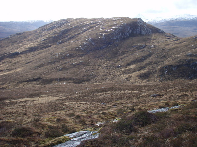
Victoria Falls
Waterfall in Ross-shire
Scotland
Victoria Falls

The requested URL returned error: 429 Too Many Requests
If you have any feedback on the listing, please let us know in the comments section below.
Victoria Falls Images
Images are sourced within 2km of 57.680213/-5.5330306 or Grid Reference NG8971. Thanks to Geograph Open Source API. All images are credited.


Victoria Falls is located at Grid Ref: NG8971 (Lat: 57.680213, Lng: -5.5330306)
Unitary Authority: Highland
Police Authority: Highlands and Islands
What 3 Words
///inserting.wheels.giggles. Near Gairloch, Highland
Nearby Locations
Related Wikis
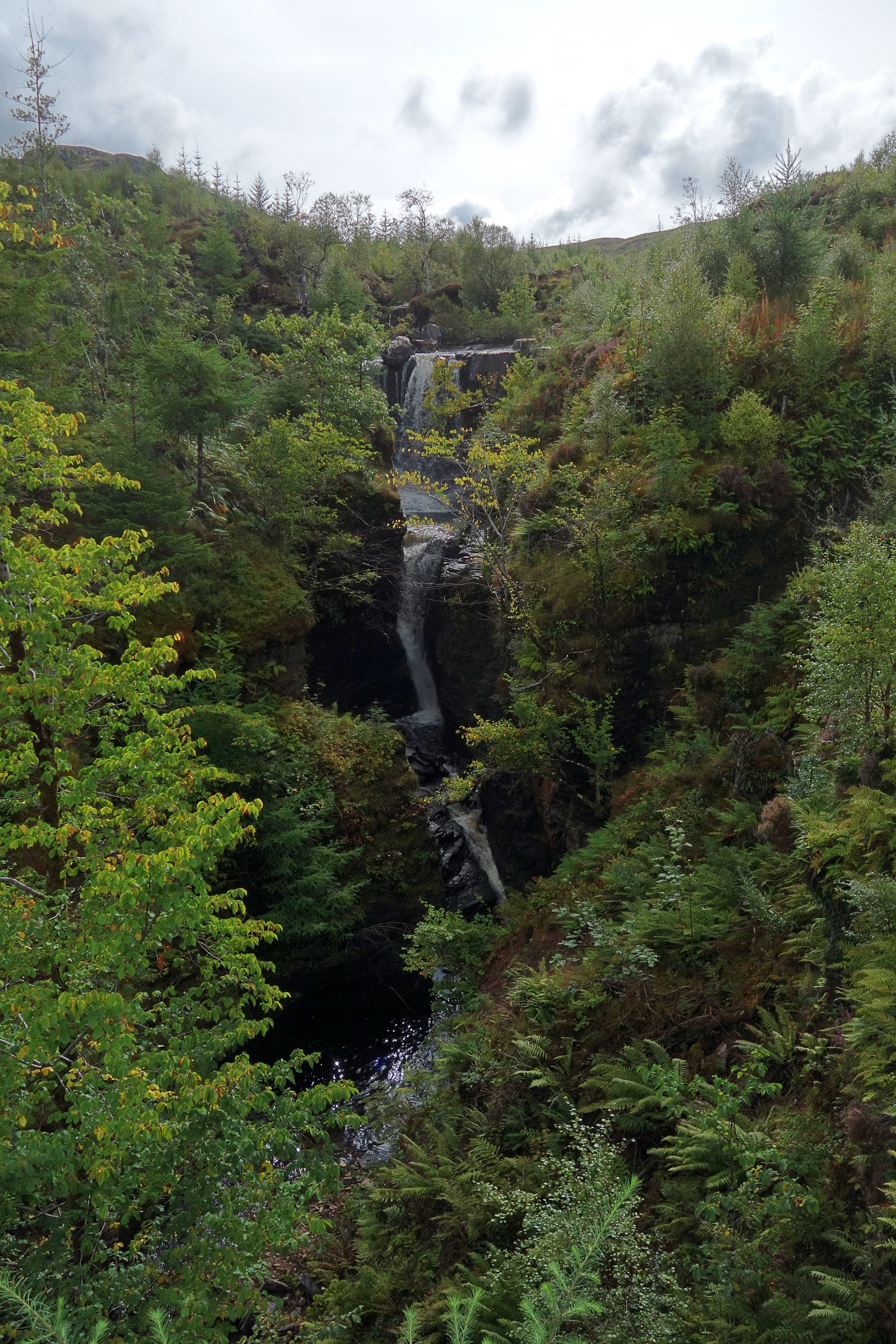
Victoria Falls, Wester Ross
Victoria Falls is a waterfall on the southern side of Loch Maree in Wester Ross in the north-west of Scotland. It is on the Abhainn Garbhaig, a short river...

Loch Maree Hotel botulism poisoning
The Loch Maree Hotel botulism poisoning of 1922 was the first recorded outbreak of botulism in the United Kingdom. Eight people died, with the resulting...
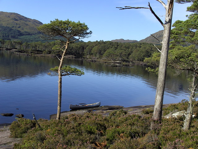
Garbh Eilean, Loch Maree
Garbh Eilean is a forested island in Loch Maree, Wester Ross, Scotland. Garbh Eilean lies between Eilean Sùbhainn and Eilean Ruairidh Mòr. The islands...

Eilean Ruairidh Mòr
Eilean Ruairidh Mòr is a forested island in Loch Maree, Wester Ross, Scotland. Its name was formerly anglicised as "Ellan-Rorymore".The island is owned...
Nearby Amenities
Located within 500m of 57.680213,-5.5330306Have you been to Victoria Falls?
Leave your review of Victoria Falls below (or comments, questions and feedback).