An t-Eas

Waterfall in Ross-shire

Scotland

An t-Eas

B8021 at Melvaig
B8021 at Melvaig Credit: Chris Morgan

An t-Eas, located in Ross-shire, Scotland, is a stunning waterfall that captivates visitors with its natural beauty and picturesque surroundings. The name "An t-Eas" is Gaelic for "The Waterfall," which aptly describes the main attraction of this area.

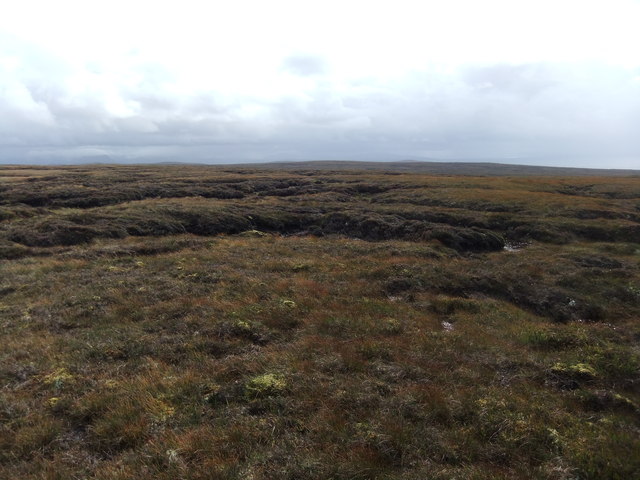
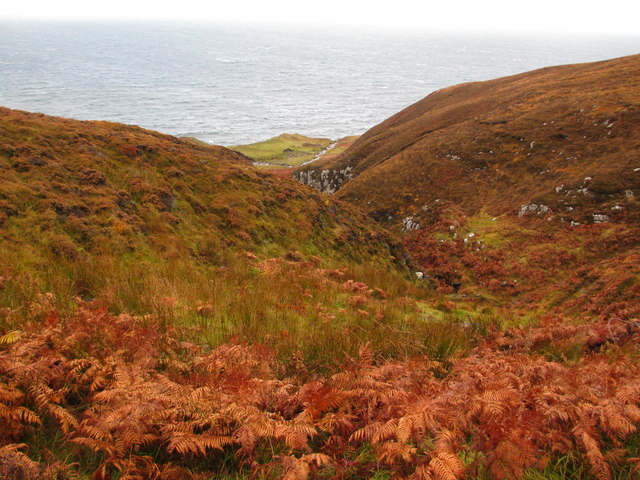
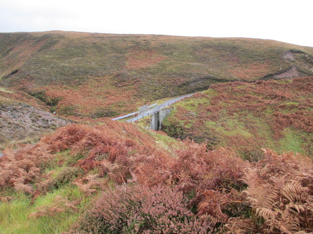
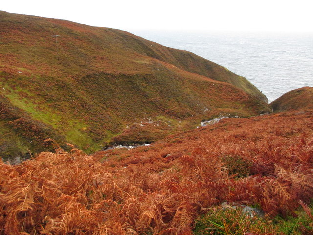
Situated in the heart of the Scottish Highlands, An t-Eas is nestled within a lush and verdant landscape, surrounded by towering mountains and dense forests. The waterfall is formed by the cascading waters of the River Meig, which flows through the village of Contin before plunging dramatically over a rocky ledge.

The waterfall itself is a sight to behold, with a height of approximately 46 feet (14 meters). The rushing waters create a mesmerizing display as they crash down into a crystal-clear pool below. Visitors can enjoy the sound of the roaring water and witness the spray that fills the air, creating a refreshing and invigorating experience.

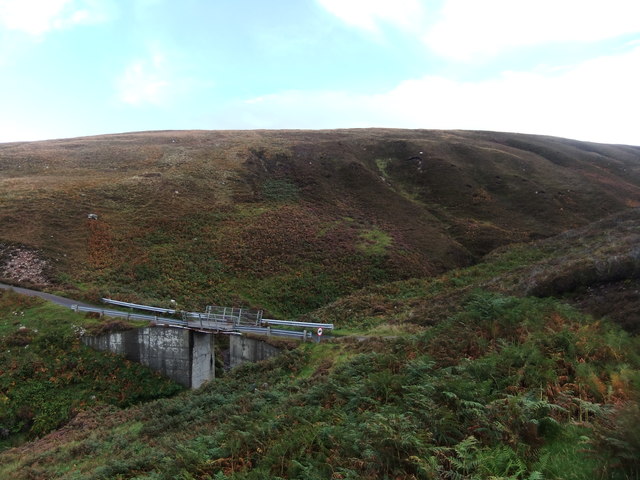
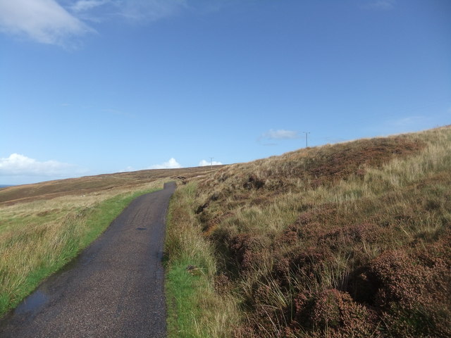
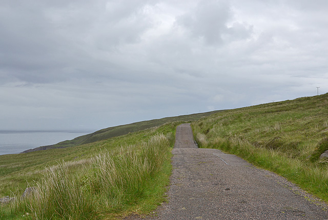
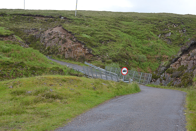
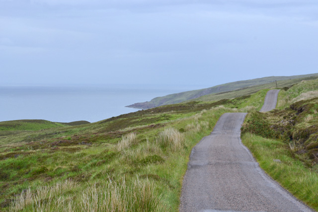
Access to An t-Eas is relatively easy, with a short and well-maintained path leading from the nearby village. The journey to the waterfall offers breathtaking views of the surrounding countryside, making it a popular destination for hikers and nature enthusiasts.

For those seeking tranquility and a break from the hustle and bustle of everyday life, An t-Eas provides a serene and peaceful atmosphere. The area is also home to a diverse range of flora and fauna, adding to its natural charm.

In conclusion, An t-Eas is a majestic waterfall in Ross-shire, Scotland, that offers visitors a glimpse into the raw beauty of the Scottish Highlands. With its striking scenery and peaceful ambiance, it is no wonder why this waterfall is a favorite among locals and tourists alike.

If you have any feedback on the listing, please let us know in the comments section below.

An t-Eas Images

Images are sourced within 2km of 57.826739/-5.8131332 or Grid Reference NG7388. Thanks to Geograph Open Source API. All images are credited.

B8021 at Melvaig
B8021 at Melvaig
Ruined croft at Melvaig
More grassy bog
More grassy bog
Bridge over the Allt an Fheidh
Road to the lighthouse
Car park on the road from Melvaig
Grazing land with a view
Allt a' Bhùtha
Allt a' Bhùtha
Bridge over Allt a' Bhùtha
The Allt an Fheidh
The Allt an Fheidh
Track heading for the shore With Skye in the distance.
Track heading for the shore
With Skye in the distance.
Melvaig Looking over the southern part of the scattered community.
Melvaig
Looking over the southern part of the scattered community.
The Rubha Rèidh road
Bridge over the Allt a' Bhùtha Not the most confidence-inducing structure.
Bridge over the Allt a' Bhùtha
Not the most confidence-inducing structure.
The Rubha Rèidh road heading north An up and down affair, which may create problems with some vehicles.

In recent years there have been conflicts with the owner of the accomodation at the lighthouse, who has attempted to stop public use of the road. However, the land here is owned by the Inverasdale Estate, and the road is owned by the Northern Lighthouse Board, neither of whom object to the public driving the road. Highland Council, which is responsible for designating the status of roads, has declared the road as "a private road open for all public access". All of which means the driving this road is legitimate. The views are worth it.
The Rubha Rèidh road heading north
An up and down affair, which may create problems with some vehicles. In recent years there have been conflicts with the owner of the accomodation at the lighthouse, who has attempted to stop public use of the road. However, the land here is owned by the Inverasdale Estate, and the road is owned by the Northern Lighthouse Board, neither of whom object to the public driving the road. Highland Council, which is responsible for designating the status of roads, has declared the road as "a private road open for all public access". All of which means the driving this road is legitimate. The views are worth it.
Bridge over the Allt na Fhèidh With a deteriorating surface, similar to the one further south.
Bridge over the Allt na Fhèidh
With a deteriorating surface, similar to the one further south.
Access road to the Lighthouse
Lighthouse Road The road from Melvaig to the lighthouse is a private road owned and maintained by the Northern Lighthouse Board. It is somewhat undulating, suffers occasional deep potholes and is best taken slowly.
Lighthouse Road
The road from Melvaig to the lighthouse is a private road owned and maintained by the Northern Lighthouse Board. It is somewhat undulating, suffers occasional deep potholes and is best taken slowly.
Show me another place!

An t-Eas is located at Grid Ref: NG7388 (Lat: 57.826739, Lng: -5.8131332)

Unitary Authority: Highland

Police Authority: Highlands and Islands

What 3 Words

///purchaser.medium.snow. Near Gairloch, Highland

Related Wikis

Melvaig

Melvaig is a remote village on the coast of western Ross-shire, Scottish Highlands and is in the Scottish council area of Highland. It is a cliff top...

Aultgrishan

Aultgrishan (Gaelic: ) is a small crofting community near Gairloch, Ross-shire. It adjoins Melvaig, within Highland region and is in the Scottish council...

Rua Reidh Lighthouse

Rua Reidh Lighthouse stands close to the entrance to Loch Ewe in Wester Ross, Scotland. == History == The name "Rua Reidh" is a semi-anglicisation of...

Cove, Highland

Cove is a remote hamlet located on the northwestern shore of the sea loch Loch Ewe, and 8 mi (13 km) northwest of Poolewe in Ross-shire, Scottish Highlands...

Nearby Amenities

Located within 500m of 57.826739,-5.8131332
Source: PGS
Lat/Long: 57.8310489/-5.8152791
Source: PGS
Lat/Long: 57.8306438/-5.8147293
Source: PGS
Lat/Long: 57.8307076/-5.8144832
Source: PGS
Lat/Long: 57.8303623/-5.8143407
Source: PGS
Lat/Long: 57.8297957/-5.8136984
Source: PGS
Lat/Long: 57.8293388/-5.8136144
Source: PGS
Lat/Long: 57.8289858/-5.8137946
Source: PGS
Lat/Long: 57.8286754/-5.8131053
Source: PGS
Lat/Long: 57.828488/-5.8131232
Source: PGS
Lat/Long: 57.8284541/-5.8133064
Source: PGS
Lat/Long: 57.828355/-5.8134657
Created By: almien_coastlines
Source: PGS
Lat/Long: 57.82819/-5.813613
Source: PGS
Lat/Long: 57.8278986/-5.8136199
Source: PGS
Lat/Long: 57.8266959/-5.8134174
Source: PGS
Lat/Long: 57.8265863/-5.8134165
Source: PGS
Lat/Long: 57.826521/-5.8132143
Source: PGS
Lat/Long: 57.8263855/-5.8127964
Source: PGS
Lat/Long: 57.8262228/-5.8127955
Source: PGS
Lat/Long: 57.8263631/-5.8130432
Source: PGS
Lat/Long: 57.8252615/-5.8128301
Source: PGS
Lat/Long: 57.8250462/-5.8127719
Source: PGS
Lat/Long: 57.8245573/-5.8121752
Source: PGS
Lat/Long: 57.824183/-5.8128392
Source: PGS
Lat/Long: 57.8241266/-5.812805
Created By: almien_coastlines
Source: PGS
Lat/Long: 57.823843/-5.813274
Source: PGS
Lat/Long: 57.8237267/-5.812362
Source: PGS
Lat/Long: 57.8234778/-5.8122132
Source: PGS
Lat/Long: 57.8234333/-5.8122322
Source: PGS
Lat/Long: 57.8232675/-5.812908
Source: PGS
Lat/Long: 57.8229656/-5.812862
Source: PGS
Lat/Long: 57.8228913/-5.8123272
Source: PGS
Lat/Long: 57.8227757/-5.8126946
Created By: almien_coastlines
Source: PGS
Lat/Long: 57.822821/-5.813194
Parking
Access: yes
Capacity: 2
Fee: no
Lit: no
Smoothness: bad
Source: survey
Supervised: no
Surface: ground
Lat/Long: 57.8233667/-5.8085654
Parking
Access: yes
Capacity: 3
Fee: no
Lit: no
Smoothness: bad
Source: survey
Supervised: no
Surface: ground
Lat/Long: 57.827051/-5.8084494
Power: pole
Lat/Long: 57.8231623/-5.8080817
Power: pole
Lat/Long: 57.8238786/-5.8081121
Power: pole
Lat/Long: 57.8246901/-5.807875
Power: pole
Lat/Long: 57.8253667/-5.8076766
Power: pole
Lat/Long: 57.8260447/-5.8074699
Power: pole
Lat/Long: 57.8267741/-5.8072356
Power: pole
Lat/Long: 57.8273831/-5.8070744
Power: pole
Lat/Long: 57.8281329/-5.8074796
Power: pole
Lat/Long: 57.8288226/-5.8078792
Power: pole
Lat/Long: 57.8294727/-5.8082567
Power: pole
Lat/Long: 57.8300127/-5.8085571
The data included in this document is from www.openstreetmap.org. The data is made available under ODbL.

Have you been to An t-Eas?

Leave your review of An t-Eas below (or comments, questions and feedback).