Eas Mòr

Waterfall in Inverness-shire

Scotland

Eas Mòr

North-eastern flank of Beinn na h-Uamha
North-eastern flank of Beinn na h-Uamha Credit: Mick Garratt

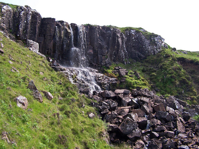
Eas Mòr, also known as the Falls of Foyers, is a beautiful waterfall located in Inverness-shire, Scotland. Situated on the eastern shore of Loch Ness, it is a popular tourist attraction known for its stunning natural beauty and serene surroundings.

The waterfall cascades down a gorge with a drop of approximately 165 feet (50 meters), creating a breathtaking sight and a thunderous sound. The water flows from the River Foyers, which originates from the nearby highlands.

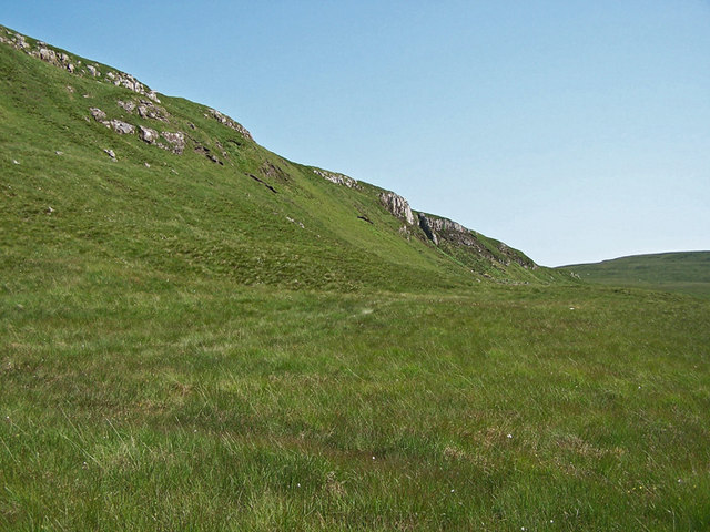
Visitors can access the waterfall through a well-maintained path that winds its way through a picturesque forest, offering breathtaking views of the surrounding scenery. The path is relatively easy to navigate, making it suitable for people of all ages and fitness levels.

Once at the waterfall, visitors can marvel at the sheer force of the water as it plunges into a deep pool below, creating a mesmerizing mist and spray. The surrounding cliffs and lush vegetation add to the enchanting atmosphere, making it a perfect spot for nature lovers and photographers.

Eas Mòr has been a source of inspiration for artists, poets, and writers for centuries. It is famously mentioned in a poem by Robert Burns and was also a favorite spot of the renowned Scottish author, Sir Walter Scott.

In addition to its natural beauty, Eas Mòr offers various amenities for visitors, including a car park, picnic area, and a nearby café where one can relax and enjoy the scenic views. Overall, Eas Mòr is a must-visit destination for anyone seeking to experience the raw beauty of Scotland's landscape.

If you have any feedback on the listing, please let us know in the comments section below.
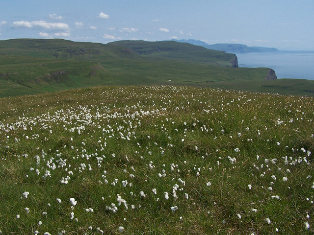
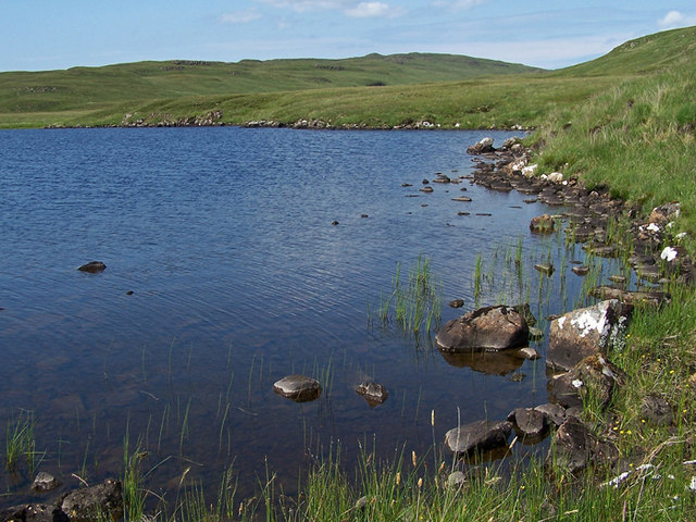
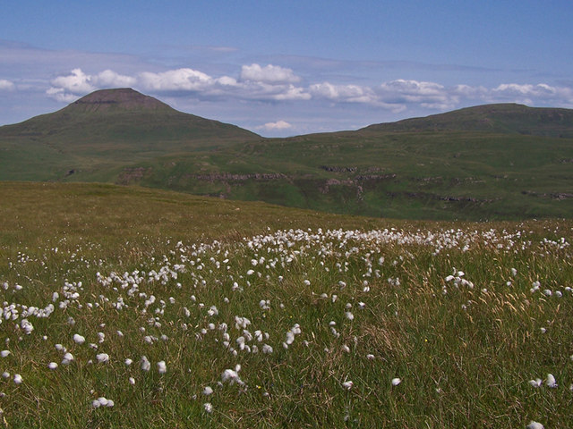
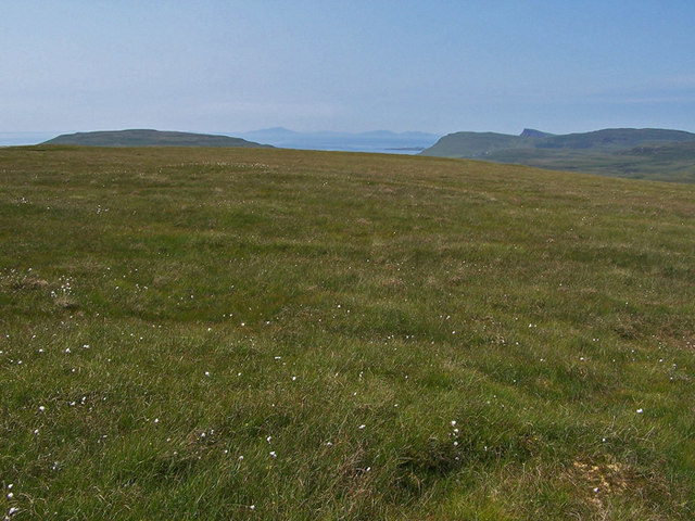
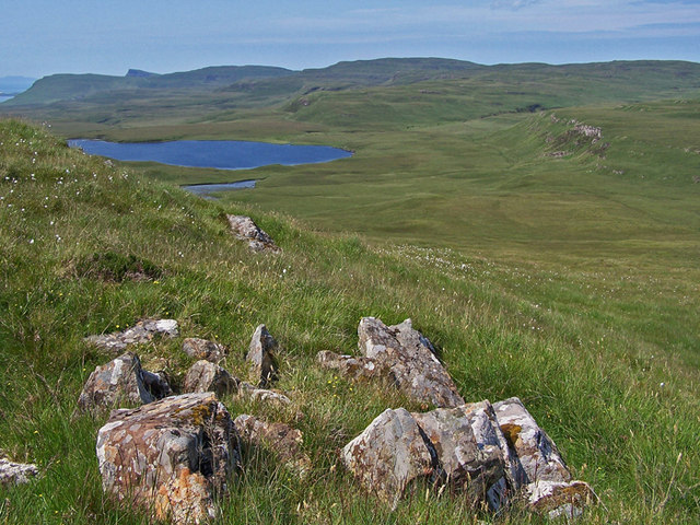
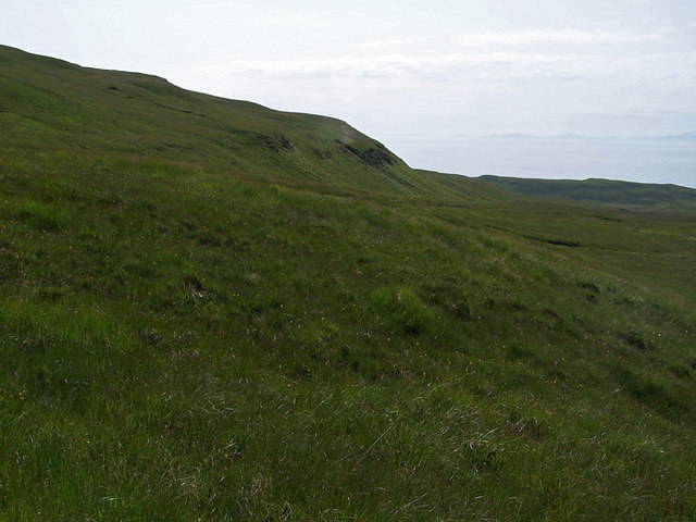
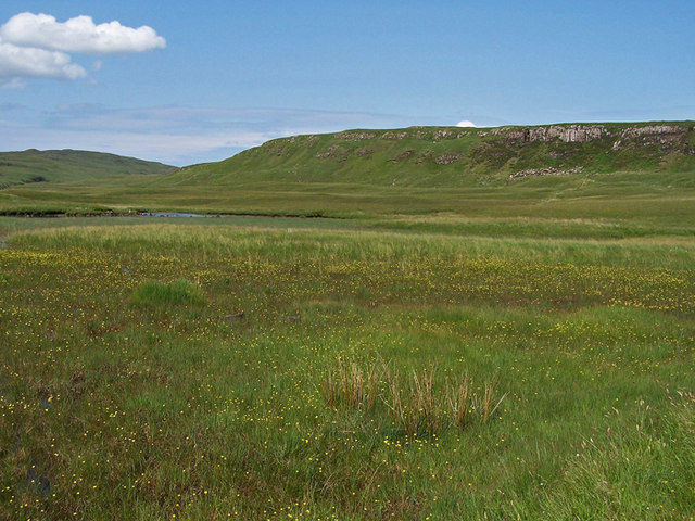
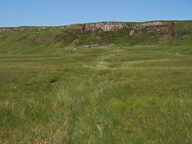
Eas Mòr Images

Images are sourced within 2km of 57.376803/-6.6415213 or Grid Reference NG2141. Thanks to Geograph Open Source API. All images are credited.

North-eastern flank of Beinn na h-Uamha
A partially dried-up lochan north of Healabhal Bheag
South East from Ben Connan No summit cairn, but lots of cotton grass. 
This view is towards the cliffs at the foot of Glen Ollisdal.
South East from Ben Connan
No summit cairn, but lots of cotton grass. This view is towards the cliffs at the foot of Glen Ollisdal.
Shore of Loch Glen Ionadal
North east from Ben Connan Ben Connan has a grassy flattish summit, and a healthy growth of cotton grass.
The mountain on the left is Healabhal Bheag.
North east from Ben Connan
Ben Connan has a grassy flattish summit, and a healthy growth of cotton grass. The mountain on the left is Healabhal Bheag.
Summit of Ben Connan Looking north west, with mountains on the Isle of Harris visible on the horizon.
Summit of Ben Connan
Looking north west, with mountains on the Isle of Harris visible on the horizon.
Northern slope of Ben Connan Looking towards Loch Glen Ionadal.
Northern slope of Ben Connan
Looking towards Loch Glen Ionadal.
Northern slope of Ben Connan Looking west.
Northern slope of Ben Connan
Looking west.
Buttercups in the marsh This marshy area close to Loch Glen Ionadal (in square <a href="https://www.geograph.org.uk/gridref/NG1941">NG1941</a> ) is full of flowering buttercups.
Buttercups in the marsh
This marshy area close to Loch Glen Ionadal (in square NG1941 ) is full of flowering buttercups.
Loch Glen Ionadal To the south of the loch is this shallow marshy area, which is probably full of water in wetter weather.
Loch Glen Ionadal
To the south of the loch is this shallow marshy area, which is probably full of water in wetter weather.
Craggy inland cliffs This cliff is at the southern end of Glen Ionadal, to the east of the loch.
Craggy inland cliffs
This cliff is at the southern end of Glen Ionadal, to the east of the loch.
Southern end of Glen Ionadal Steep craggy cliffs edge the glen at the foot of Beinn an Loch.
Southern end of Glen Ionadal
Steep craggy cliffs edge the glen at the foot of Beinn an Loch.
Trig point on Healabhal Bheag Suffering from weathering. Also known as Macleod's Table South. 
Looking over Loch Bracadale with the Cuillin in cloud in the far distance.
Trig point on Healabhal Bheag
Suffering from weathering. Also known as Macleod's Table South. Looking over Loch Bracadale with the Cuillin in cloud in the far distance.
Flush bracket S6006 On the trig point on Healabhal Bheag (488m). See <a href="https://www.geograph.org.uk/photo/3341360">NG2242 : Trigpoint on Healabhal Bheag</a>.
Flush bracket S6006
On the trig point on Healabhal Bheag (488m). See NG2242 : Trigpoint on Healabhal Bheag.
Small lochan below Healabhal Bheag On the col on the NW side of Healabhal Bheag. Looking towards Beinn Na H-Uamha with Beinn a' Chapuill beyond.
Small lochan below Healabhal Bheag
On the col on the NW side of Healabhal Bheag. Looking towards Beinn Na H-Uamha with Beinn a' Chapuill beyond.
Leaving An Cruachan to MacLeod's Table South
Bealach Bharcasaig Looking down on the bealach from the southern slopes of Healaval Bheag.
Bealach Bharcasaig
Looking down on the bealach from the southern slopes of Healaval Bheag.
Healabhal Bheag Summit The flat summit of the steep sided Healabhal Bheag, or MacLeod's Table South. The Marilyn summit is about 1 ft higher than the trig and is just out of this picture to the left (south).
Healabhal Bheag Summit
The flat summit of the steep sided Healabhal Bheag, or MacLeod's Table South. The Marilyn summit is about 1 ft higher than the trig and is just out of this picture to the left (south).
Show me another place!

Eas Mòr is located at Grid Ref: NG2141 (Lat: 57.376803, Lng: -6.6415213)

Unitary Authority: Highland

Police Authority: Highlands and Islands

What 3 Words

///savers.answers.lessening. Near Dunvegan, Highland

Related Wikis

Eas Mòr, Durinish

Eas Mòr is a waterfall on the Duirinish peninsula of the island of Skye in Scotland. It lies on the Allt Mhicheil, a tributary of the Dibidal River below...

Healabhal Bheag

Healabhal Bheag is a hill located on the Duirinish peninsula of the Isle of Skye in the Inner Hebrides, Scotland. It is also known as MacLeod's Table South...

Ramasaig

Ramasaig is a small township on the western shore of the Duirinish peninsula, on Dunvegan, Isle of Skye and is in the Scottish Highlands and is in the...

Roag, Skye

Roag (Scottish Gaelic: Ròdhag), meaning noisy place or 'deer bay' in Norse, is a small remote scattered hamlet on the north west shore of Pool Roag in...

Duirinish, Skye

Duirinish (Scottish Gaelic: Diùirinis) is a peninsula and civil parish on the island of Skye in Scotland. It is situated in the north west between Loch...

Harlosh Island

Harlosh Island is one of four islands to be found in Skye's Loch Bracadale. Harlosh Island is one mile (1.5 kilometres) from the coast of the Duirinish...

Colbost

Colbost (Scottish Gaelic: Cealabost) is a scattered hamlet on the B884 road, in the Glendale estate, overlooking Loch Dunvegan on the Scottish island of...

The Three Chimneys

The Three Chimneys is a restaurant in Colbost, Isle of Skye, Scotland. While in operation beforehand, the restaurant came to prominence after being taken...

Nearby Amenities

Located within 500m of 57.376803,-6.6415213
Eas Mòr Waterfall
Natural: yes
Wikidata: Q5327407
Wikipedia: en:Eas Mòr, Durinish
Lat/Long: 57.3767909/-6.6414825
The data included in this document is from www.openstreetmap.org. The data is made available under ODbL.

Have you been to Eas Mòr?

Leave your review of Eas Mòr below (or comments, questions and feedback).