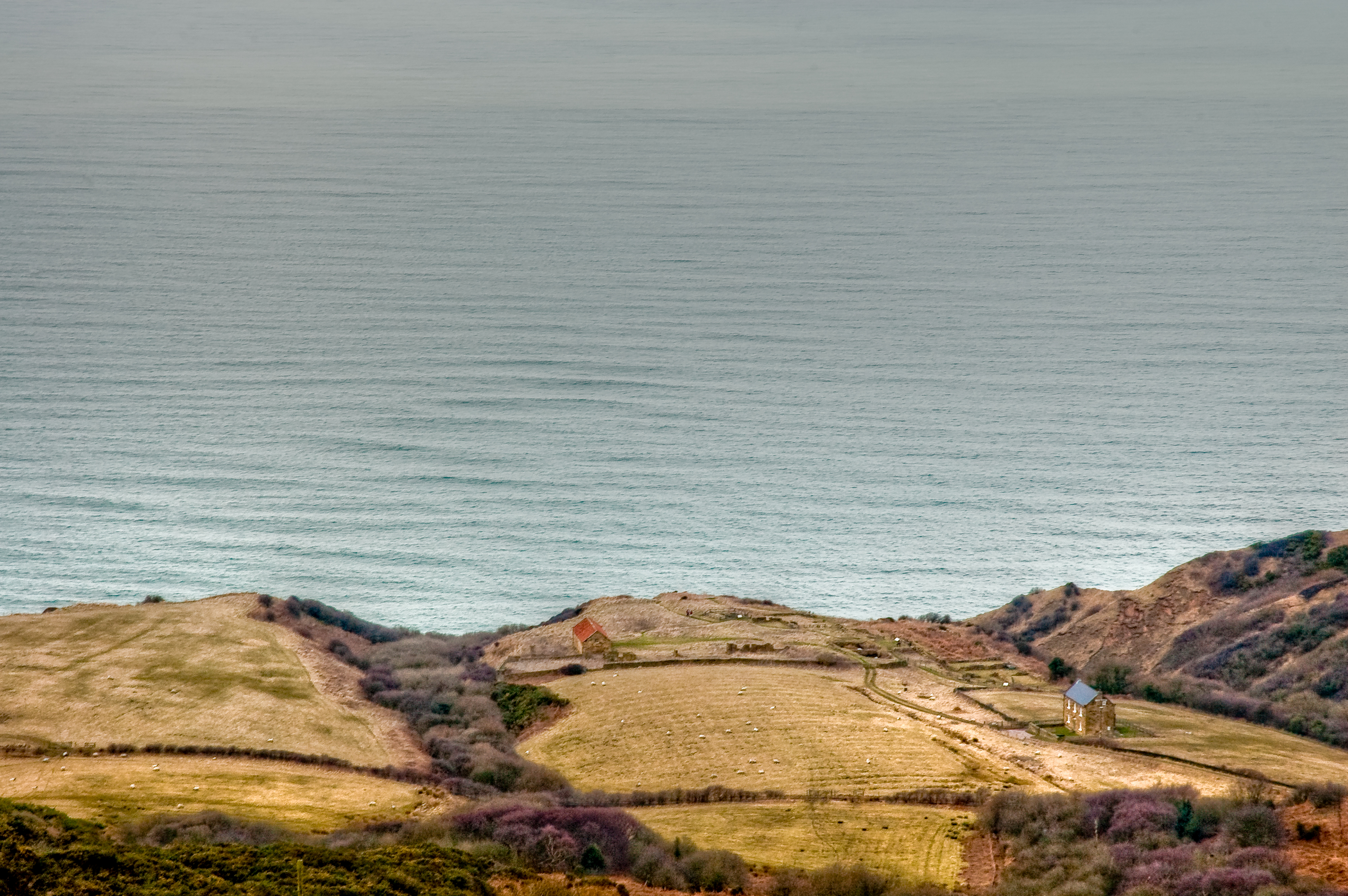
South Cheek

Island in Yorkshire Scarborough

England

South Cheek

Robin Hood's Bay Bucking the trend for the month, Christmas Day 2021 dawned bright and clear on the Yorkshire coast. Even so, a brisk breeze ensured plenty of waves. Robin Hood's Bay village can be seen straight ahead. Ness Point is at the end of the headland.
Robin Hood's Bay Credit: Stephen McKay

The requested URL returned error: 429 Too Many Requests

If you have any feedback on the listing, please let us know in the comments section below.
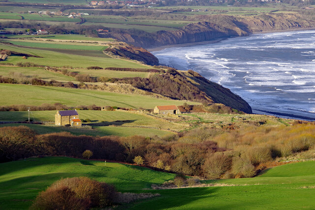
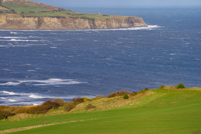
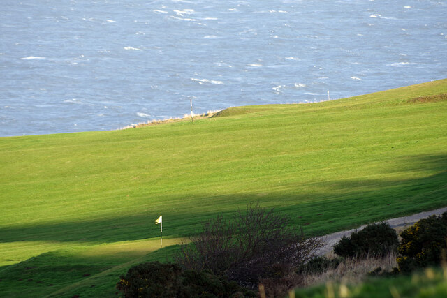
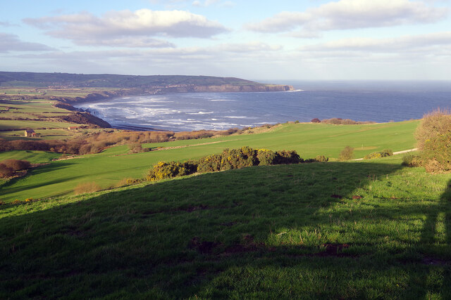
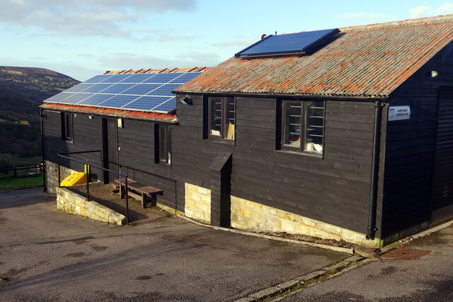
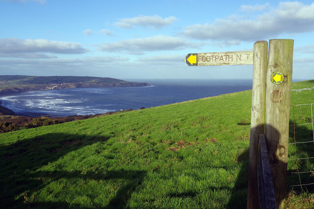
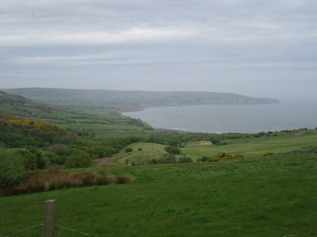
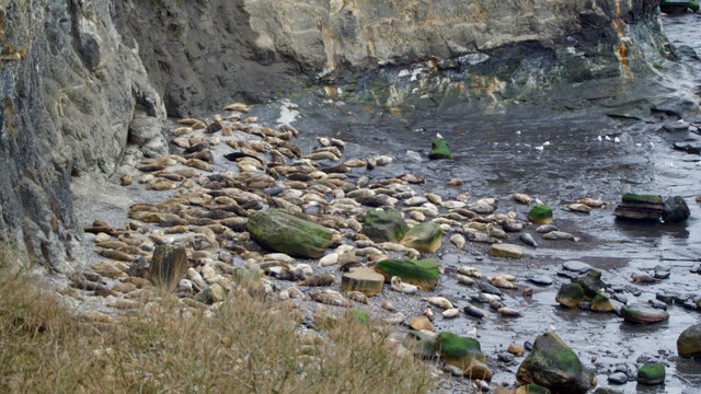
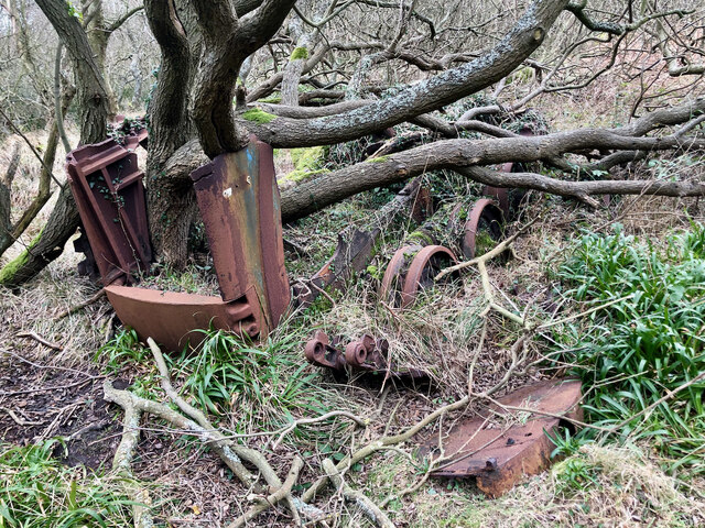
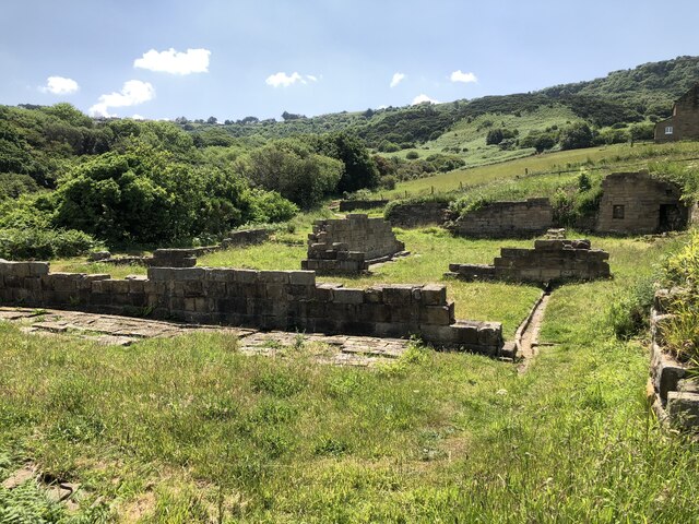
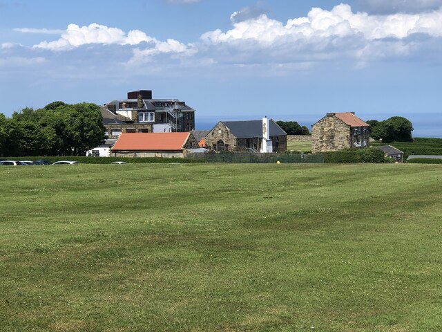
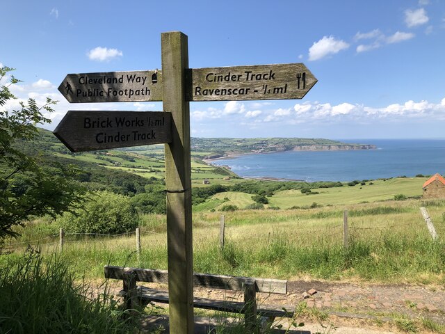
South Cheek Images

Images are sourced within 2km of 54.406426/-0.48895617 or Grid Reference NZ9802. Thanks to Geograph Open Source API. All images are credited.

Robin Hood's Bay Bucking the trend for the month, Christmas Day 2021 dawned bright and clear on the Yorkshire coast. Even so, a brisk breeze ensured plenty of waves. Robin Hood's Bay village can be seen straight ahead. Ness Point is at the end of the headland.
Robin Hood's Bay
Bucking the trend for the month, Christmas Day 2021 dawned bright and clear on the Yorkshire coast. Even so, a brisk breeze ensured plenty of waves. Robin Hood's Bay village can be seen straight ahead. Ness Point is at the end of the headland.
Low Peak Looking down from High Peak. There was once an alum works here; alum was extracted from quarried shales and used for textile dyes. The process was slow and complex and synthetic alum became available in the second half of the 19th century, leading to the end of the industry in this area.
Low Peak
Looking down from High Peak. There was once an alum works here; alum was extracted from quarried shales and used for textile dyes. The process was slow and complex and synthetic alum became available in the second half of the 19th century, leading to the end of the industry in this area.
Robin Hood's Bay Looking across the choppy sea from Peakside Farm to Ness Point. In the foreground is part of the golf course belonging to Raven Hall Hotel.
Robin Hood's Bay
Looking across the choppy sea from Peakside Farm to Ness Point. In the foreground is part of the golf course belonging to Raven Hall Hotel.
Fairview House, Ravenscar Looking up from Peakside Farm to Fairview House at the end of Robin Hood's Road; the house is used as holiday accommodation. Behind that is a 45 metre transmitting mast operated by Arqiva.
Fairview House, Ravenscar
Looking up from Peakside Farm to Fairview House at the end of Robin Hood's Road; the house is used as holiday accommodation. Behind that is a 45 metre transmitting mast operated by Arqiva.
Raven Hall Hotel Golf Course Raven Hall Hotel boasts its own 9-hole par 64 golf course. Nobody would claim it is up to championship standards but at least it has a superb sea view. Sea conditions were decidedly choppy in this Christmas Day view.
Raven Hall Hotel Golf Course
Raven Hall Hotel boasts its own 9-hole par 64 golf course. Nobody would claim it is up to championship standards but at least it has a superb sea view. Sea conditions were decidedly choppy in this Christmas Day view.
View from Peakside Farm Looking towards Robin Hood's Bay and Ness Point. This is said to be one of the best views in Yorkshire.
View from Peakside Farm
Looking towards Robin Hood's Bay and Ness Point. This is said to be one of the best views in Yorkshire.
National Trust estate buildings, Peakside Farm In addition to these buildings there is also an office and two holiday cottages here. A National Trust shop is separately located, close to the gate to Raven Hall Hotel.
National Trust estate buildings, Peakside Farm
In addition to these buildings there is also an office and two holiday cottages here. A National Trust shop is separately located, close to the gate to Raven Hall Hotel.
Footpath at Ravenscar The National Trust land at Ravenscar has a network of footpaths and this NT sign points the way along one of them. The smaller marker on the adjacent post is provided by the North York Moors National Park but adds no additional information. In the background is Robin Hood's Bay.
Footpath at Ravenscar
The National Trust land at Ravenscar has a network of footpaths and this NT sign points the way along one of them. The smaller marker on the adjacent post is provided by the North York Moors National Park but adds no additional information. In the background is Robin Hood's Bay.
Ravenscar view Looking towards the alum works.
Ravenscar view
Looking towards the alum works.
Railway line near Ravenscar station Just south of Ravenscar Station.
Railway line near Ravenscar station
Just south of Ravenscar Station.
Moulting seals on the scar at South Cheek
Tractor vs. tree
Tractor vs. tree
The Cleveland Way above High Scar
Remains of Peak Alum Works Alum, a salt of aluminium, was extracted from shale for use as a fixing agent in the dying industry. Pre-dating the industrialisation associated with the industrial revolution, alum production began in the 17th century and continued until the late 19th century when synthetic fixing agents were produced. The coastal area around Ravenscar was the location of a large quarrying and alum production centre until 1871.
Remains of Peak Alum Works
Alum, a salt of aluminium, was extracted from shale for use as a fixing agent in the dying industry. Pre-dating the industrialisation associated with the industrial revolution, alum production began in the 17th century and continued until the late 19th century when synthetic fixing agents were produced. The coastal area around Ravenscar was the location of a large quarrying and alum production centre until 1871.
Cliffs and coastline below Ravenscar
Raven Hall Hotel, Ravenscar
Footpath signpost, Ravenscar
The Cinder Track The Cinder Track is a walking / cycling route utilising the trackbed of the former railway that ran between Scarborough and Whitby.
The Cinder Track
The Cinder Track is a walking / cycling route utilising the trackbed of the former railway that ran between Scarborough and Whitby.
Show me another place!

South Cheek is located at Grid Ref: NZ9802 (Lat: 54.406426, Lng: -0.48895617)

Division: North Riding

Administrative County: North Yorkshire

District: Scarborough

Police Authority: North Yorkshire

Also known as: Old Peak

What 3 Words

///competing.reserves.pheasants. Near Burniston, North Yorkshire

Related Wikis

Ravenscar, North Yorkshire

Ravenscar is a coastal village in the Scarborough district of North Yorkshire, England. It is within the civil parish of Staintondale and the North York...

Ravenscar railway station

Ravenscar was a railway station on the Scarborough & Whitby Railway and served the village of Ravenscar, North Yorkshire, England. == History == The station...

Bent Rigg radar station

Bent Rigg Radar Station, (also known as Royal Air Force Ravenscar, and Ravenscar tracking station), was a radar site located at Bent Rigg, 0.6 miles (1...

Ramsdale Beck

Ramsdale Beck is a small river that feeds directly into the North Sea between Robin Hood's Bay and Ravenscar on the North Yorkshire coast in England. The...

Nearby Amenities

Located within 500m of 54.406426,-0.48895617
Source: PGS
Lat/Long: 54.4028567/-0.4842519
Source: PGS
Lat/Long: 54.403227/-0.4849947
Source: PGS
Lat/Long: 54.4036264/-0.4854527
Source: PGS
Lat/Long: 54.4039163/-0.4855441
Source: PGS
Lat/Long: 54.4041535/-0.4860338
Source: PGS
Lat/Long: 54.4045094/-0.486213
Source: PGS
Lat/Long: 54.4047415/-0.4866665
Source: PGS
Lat/Long: 54.4049433/-0.4871807
Source: PGS
Lat/Long: 54.405275/-0.487489
Source: PGS
Lat/Long: 54.4055139/-0.4877491
Source: PGS
Lat/Long: 54.4057443/-0.488448
Source: PGS
Lat/Long: 54.4058902/-0.4886357
Source: PGS
Lat/Long: 54.4060484/-0.4893337
Source: PGS
Lat/Long: 54.4064803/-0.4903215
Source: PGS
Lat/Long: 54.4068616/-0.4904925
Source: PGS
Lat/Long: 54.4076424/-0.4911544
Source: PGS
Lat/Long: 54.4077683/-0.4916042
Source: PGS
Lat/Long: 54.4075137/-0.492693
Source: PGS
Lat/Long: 54.4072077/-0.4935999
Source: PGS
Lat/Long: 54.4068815/-0.4947268
Source: PGS
Lat/Long: 54.4067045/-0.4961829
Raven Hall Hotel
Addr City: Scarborough
Addr Postcode: YO13 0ET
Addr Street: Ravenscar
Email: enquiries@ravenhall.co.uk
Phone: +44 1723 870353
Source: survey
Tourism: hotel
Website: https://www.ravenhall.co.uk/
Lat/Long: 54.4021203/-0.4906796
Information: guidepost
Tourism: information
Lat/Long: 54.4038124/-0.4924054
Information: route_marker
Tourism: information
Lat/Long: 54.4024609/-0.4885444
Information: guidepost
Tourism: information
Lat/Long: 54.4028513/-0.4882412
Bench
Backrest: yes
Material: wood
Lat/Long: 54.4052611/-0.4944673
Bench
Backrest: yes
Material: wood
Lat/Long: 54.4039329/-0.4915584
The data included in this document is from www.openstreetmap.org. The data is made available under ODbL.

Have you been to South Cheek?

Leave your review of South Cheek below (or comments, questions and feedback).