Perch Rock
Island in Anglesey
Wales
Perch Rock
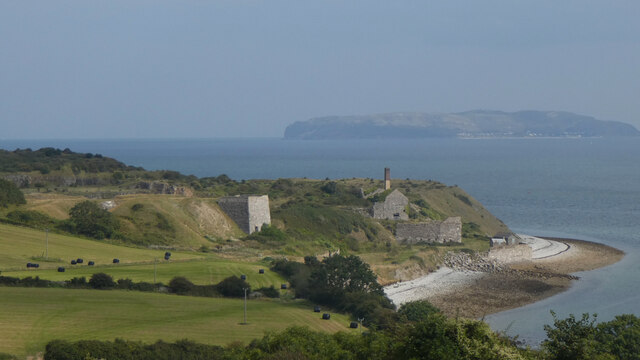
Perch Rock is a small uninhabited island located off the coast of Anglesey, Wales. It is situated in the Menai Strait, a narrow stretch of water that separates Anglesey from the mainland. The island is approximately 1.5 miles long and covers an area of around 120 acres.
Perch Rock is known for its rugged and picturesque landscape, characterized by rocky cliffs, lush greenery, and diverse wildlife. The island is a designated Site of Special Scientific Interest (SSSI) due to its important bird breeding colonies and rare plant species. It is home to a variety of seabirds, including cormorants, puffins, and guillemots, making it a popular spot for birdwatching enthusiasts.
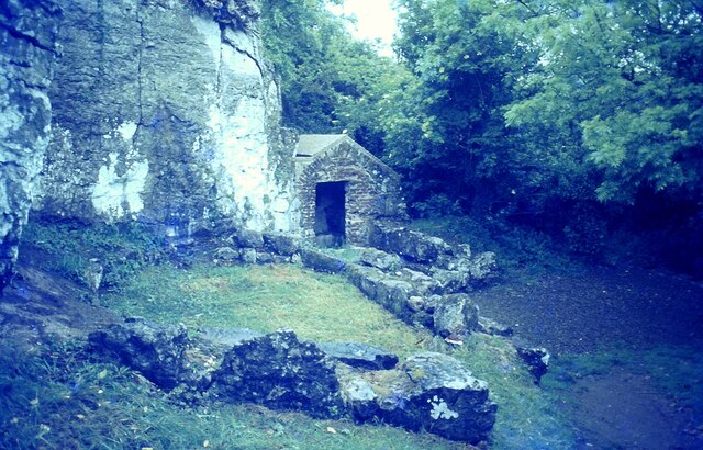
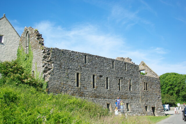
The island's history is also intriguing. It was once used as a defensive outpost during the medieval period, and remnants of a former watchtower can still be seen. In more recent times, Perch Rock served as a quarantine station for cholera and smallpox patients in the 19th century.
Access to Perch Rock is limited, as the island is privately owned and not open to the public. However, boat trips and guided tours are available, allowing visitors to appreciate the island's natural beauty from afar. The Menai Strait itself is a popular destination for water sports enthusiasts, offering opportunities for sailing, kayaking, and fishing.
Overall, Perch Rock is a captivating island with a rich natural and historical heritage, making it a significant part of Anglesey's coastal landscape.
If you have any feedback on the listing, please let us know in the comments section below.
Perch Rock Images
Images are sourced within 2km of 53.312436/-4.0357626 or Grid Reference SH6481. Thanks to Geograph Open Source API. All images are credited.
Perch Rock is located at Grid Ref: SH6481 (Lat: 53.312436, Lng: -4.0357626)
Unitary Authority: Isle of Anglesey
Police Authority: North Wales
Also known as: Carreg Edwen
What 3 Words
///blast.unopposed.airliners. Near Llangoed, Isle of Anglesey
Nearby Locations
Related Wikis
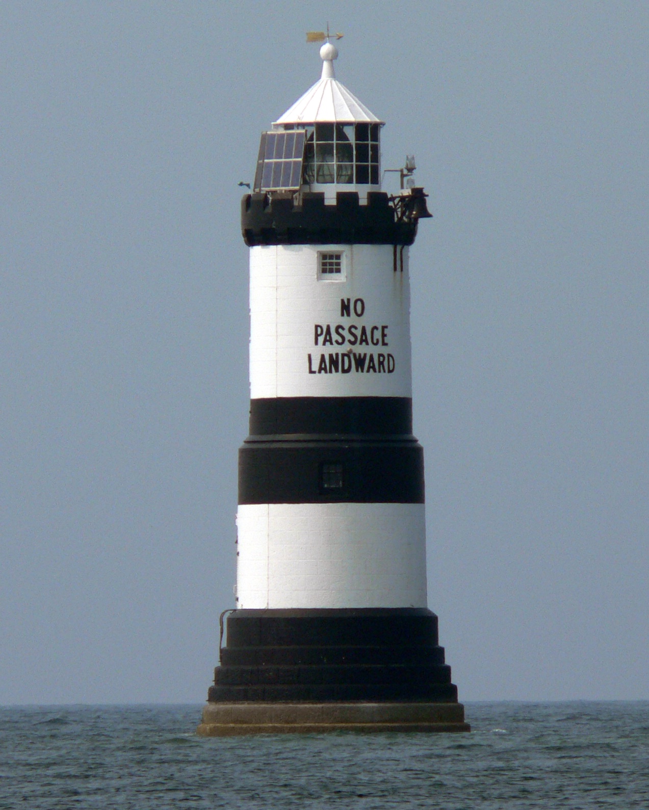
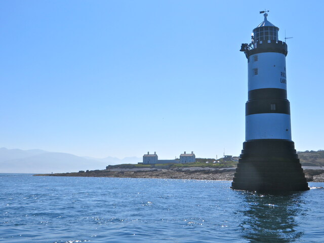
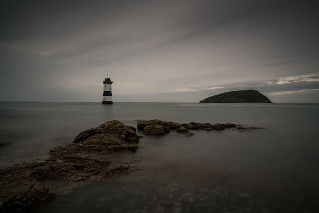
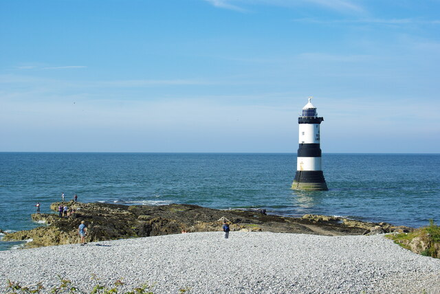
Trwyn Du Lighthouse
Trwyn Du Lighthouse, also known as Penmon Lighthouse, is a lighthouse between Black Point near Penmon and Ynys Seiriol, or Puffin Island, at the eastern...

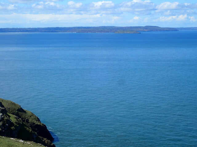
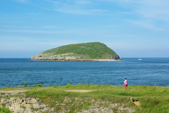
Puffin Island (Anglesey)
Puffin Island (Welsh: Ynys Seiriol) (at SH 649 821 or 53°19′05″N 04°01′40″W) is an uninhabited island off the eastern tip of Anglesey, Wales. It was formerly...

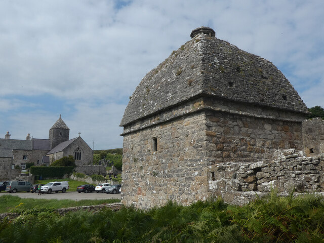
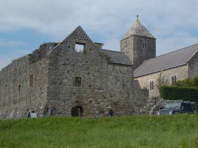
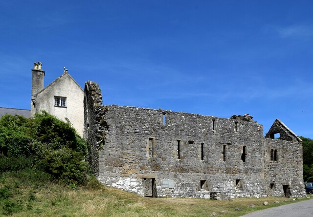
Penmon
Penmon is a promontory, village and ecclesiastical parish on the eastern tip of the Isle of Anglesey in Wales, about 3 miles (4.8 km) east of the town...
Caim, Anglesey
Caim is a hamlet in the community of Llangoed, Anglesey, Wales, which is 144.3 miles (232.2 km) from Cardiff and 225.8 miles (363.4 km) from London. Cafnan...
Cornelyn
Cornelyn is an area in the community of Llangoed, Anglesey, Wales, which is 131.2 miles (211.2 km) from Cardiff and 207.4 miles (333.8 km) from London...

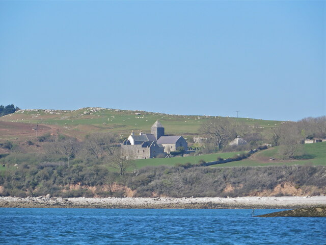
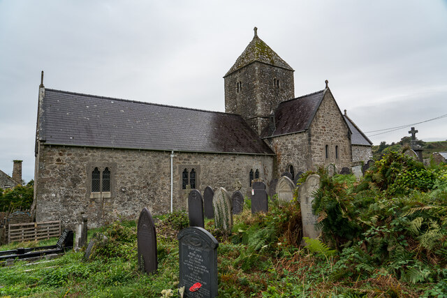
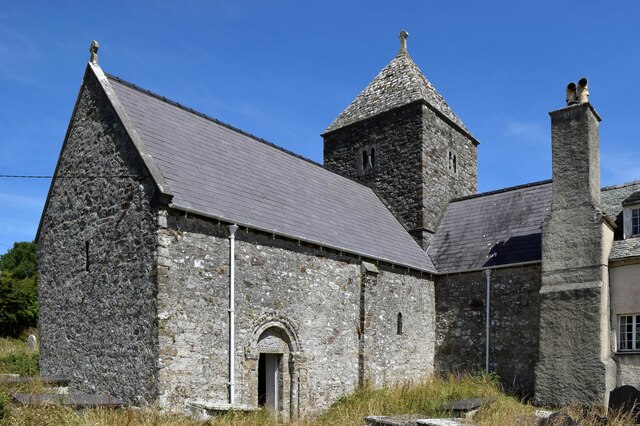
St Cawrdaf's Church, Llangoed
St Cawrdaf's Church is a church in the village of Llangoed, Isle of Anglesey, Wales. The building dates from the 17th century and underwent renovations...

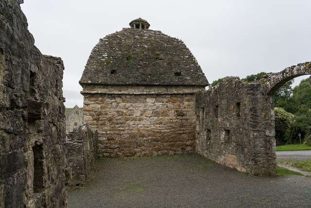
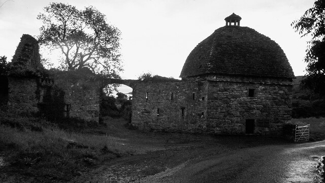
Castell Aberlleiniog
Castell Aberlleiniog (Castle of the Mouth of the Lleiniog) is a motte and bailey fortress near the Welsh village of Llangoed on the Isle of Anglesey, built...
Glannau Penmon
Glannau Penmon - Biwmares is a Site of Special Scientific Interest (or SSSI) in Anglesey, North Wales. It has been designated as a Site of Special Scientific...
Nearby Amenities
Located within 500m of 53.312436,-4.0357626Have you been to Perch Rock?
Leave your review of Perch Rock below (or comments, questions and feedback).