Oronsay
Island in Inverness-shire
Scotland
Oronsay

Oronsay is a picturesque island located in the Ross and Cromarty district of Inverness-shire, Scotland. Situated in the Inner Hebrides, this small island covers an area of approximately 1.5 square kilometers and is known for its stunning natural beauty and historical significance. It lies just off the west coast of Scotland, near the larger island of Colonsay.
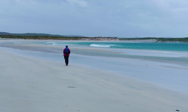
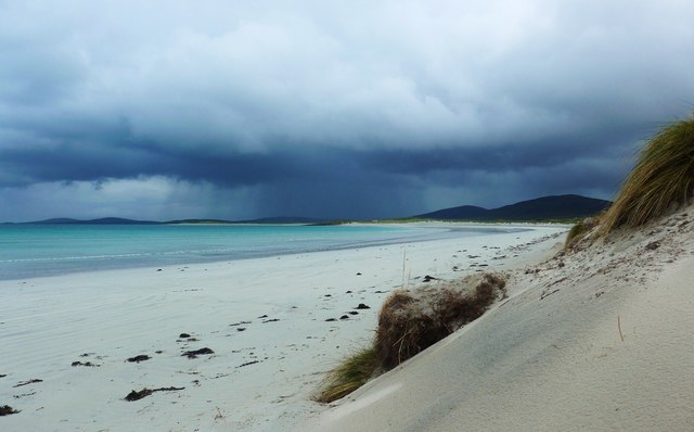
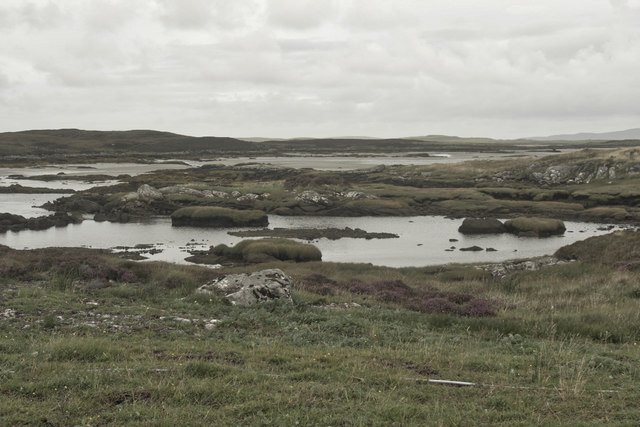
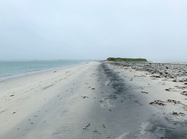
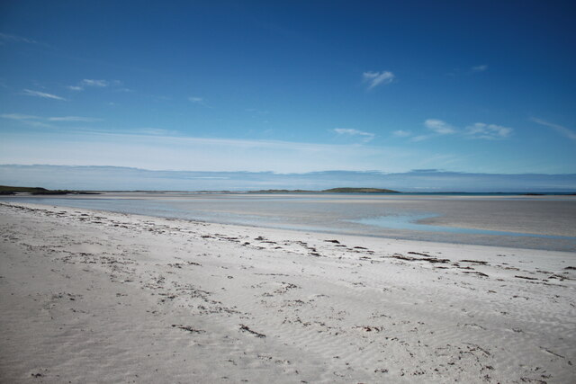
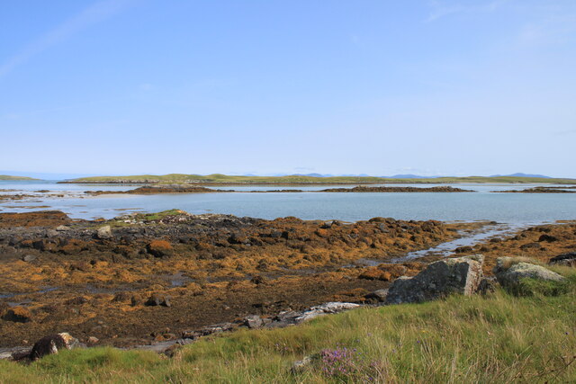
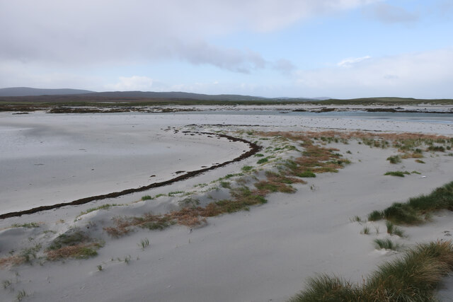
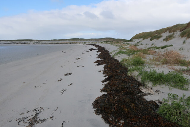
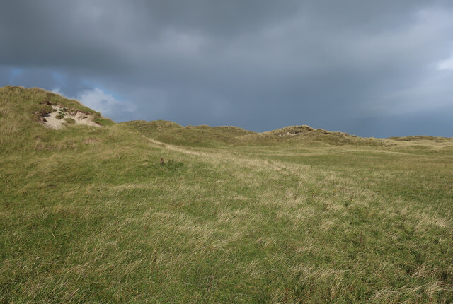
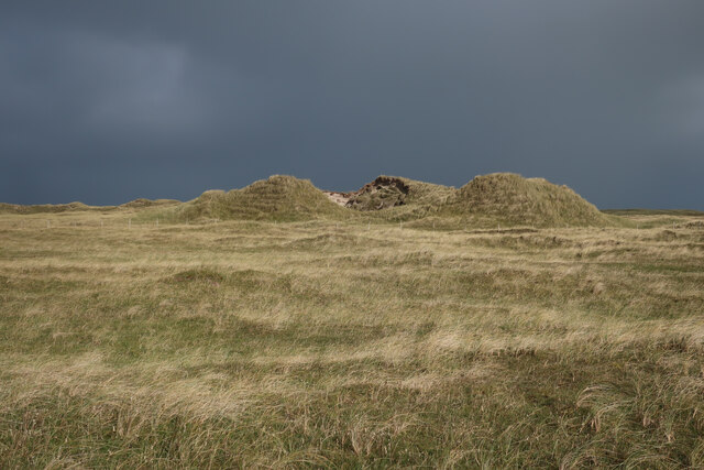
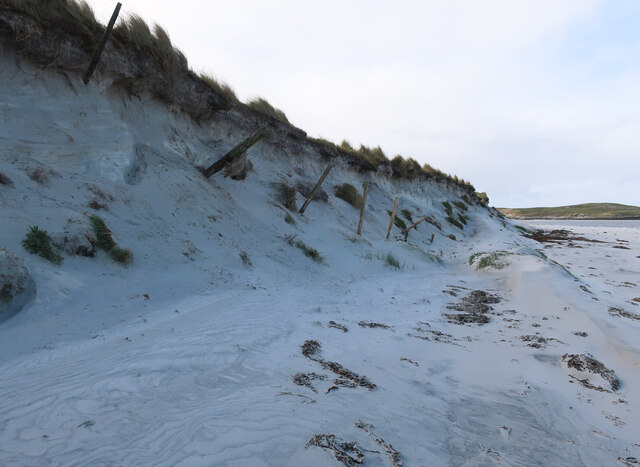
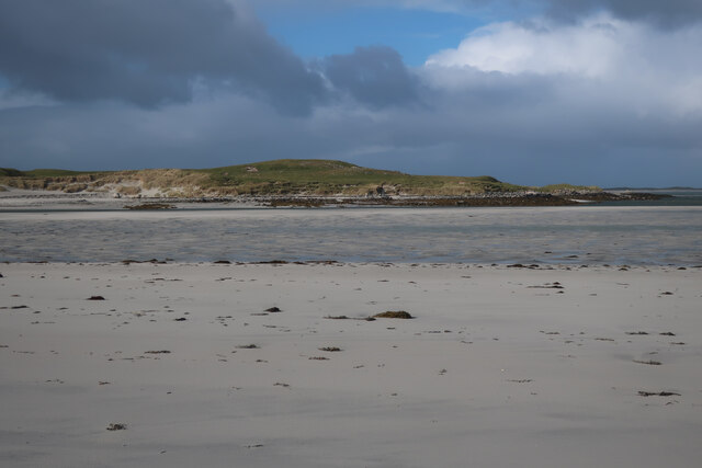
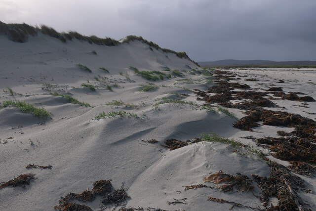
The island is characterized by its rugged coastline, with rocky cliffs and sandy beaches offering breathtaking views of the surrounding sea and neighboring islands. Oronsay is home to a diverse range of wildlife, including various species of birds, seals, and otters, making it a haven for nature enthusiasts.
In addition to its natural attractions, Oronsay boasts a rich history. The island is home to the ruins of a medieval priory, which was founded in the 14th century and served as a religious center until the Reformation. The priory ruins, with their intricately carved stone arches and walls, provide a fascinating glimpse into the island's past.
Access to Oronsay is mainly by boat, with regular ferry services connecting it to the mainland. The island offers limited accommodation options, including a few self-catering cottages, making it an ideal destination for those seeking a peaceful and secluded getaway.
Visitors to Oronsay can enjoy various outdoor activities, such as hiking along the island's scenic trails, birdwatching, and exploring the ancient ruins. The island's tranquil atmosphere and natural beauty make it a popular destination for those looking to escape the hustle and bustle of city life and immerse themselves in the stunning Scottish wilderness.
If you have any feedback on the listing, please let us know in the comments section below.
Oronsay Images
Images are sourced within 2km of 57.661291/-7.29012 or Grid Reference NF8475. Thanks to Geograph Open Source API. All images are credited.


Oronsay is located at Grid Ref: NF8475 (Lat: 57.661291, Lng: -7.29012)
Unitary Authority: Na h-Eileanan an Iar
Police Authority: Highlands and Islands
Also known as: Orasaigh
What 3 Words
///disco.relishes.cabbages. Near Lochmaddy, Na h-Eileanan Siar
Nearby Locations
Related Wikis

Oronsay, Outer Hebrides
Oronsay (Gaelic Orasaigh) is a tidal island off North Uist in the Outer Hebrides. Lying to the north of Vallaquie Strand, the island has been uninhabited...

Lingeigh, North Uist
Lingeigh is an uninhabited island off North Uist, south east of Boreray. It is separated from North Uist by Traigh Lingeigh. == Footnotes ==

Sollas
Sollas (Scottish Gaelic: Solas) is a small crofting township on the northern coast of the island of North Uist, Scotland. == History == === The Battle... ===

North Uist Machair and Islands
The North Uist Machair and Islands is a protected wetland area in the Outer Hebrides of Scotland. A total of 4,705 hectares comprises seven separate areas...
Have you been to Oronsay?
Leave your review of Oronsay below (or comments, questions and feedback).