Benbecula

Island in Inverness-shire

Scotland

Benbecula

Unnamed loch on Benbecula
Unnamed loch on Benbecula Credit: Hugh Venables

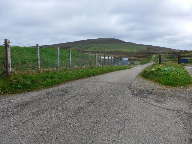
Benbecula is a small island located in the Outer Hebrides, in the region of Inverness-shire, Scotland. With a total land area of approximately 10 square miles, it is situated between the islands of North Uist and South Uist. The island is connected to these neighboring islands by causeways and is accessible via the A865 road.

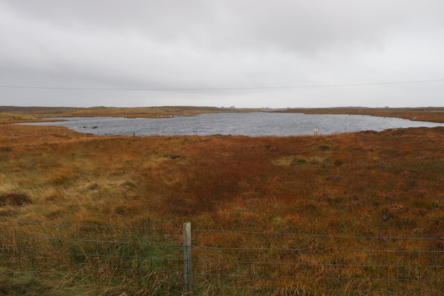
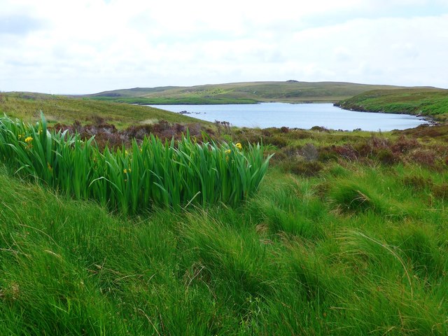
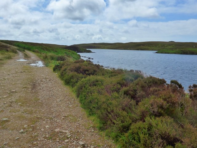
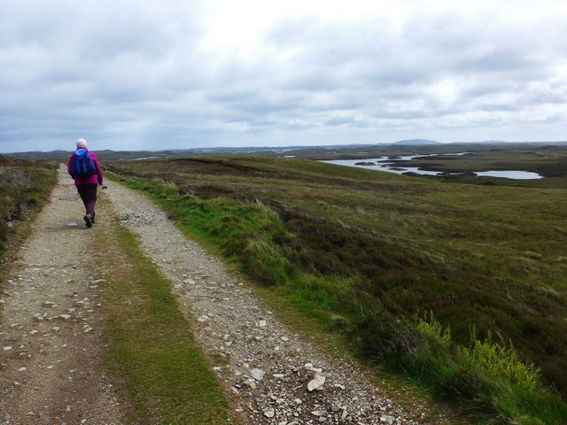
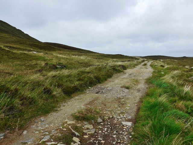
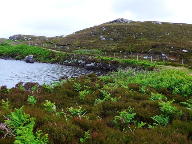
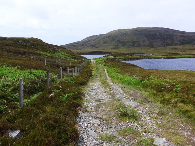
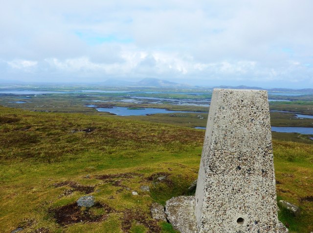
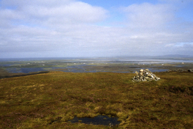
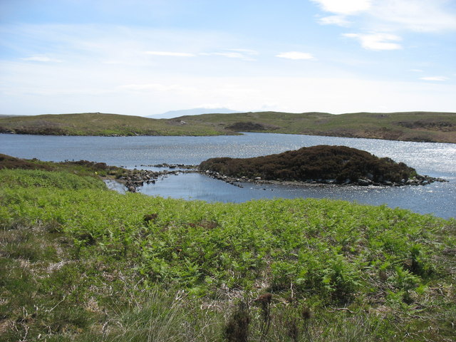
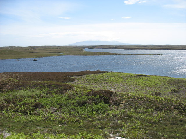
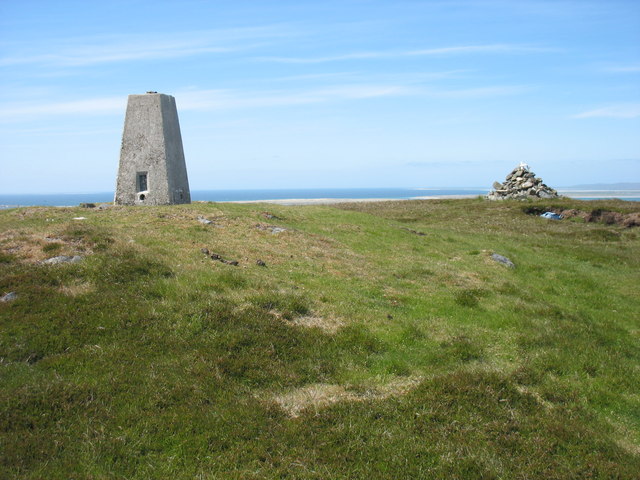
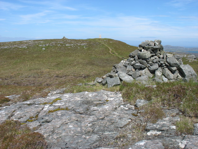
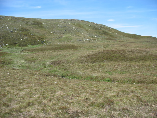
Benbecula is known for its unique landscape, characterized by flat, fertile plains and stunning sandy beaches. The island is surrounded by vast stretches of machair, a type of coastal grassland, which is home to a variety of flora and fauna. It is a haven for nature enthusiasts, with opportunities for birdwatching and wildlife spotting.

The island has a population of around 1,300 residents, with the majority of the population concentrated in the main settlements of Balivanich and Lionacleit. These settlements offer essential amenities such as shops, schools, and healthcare facilities.

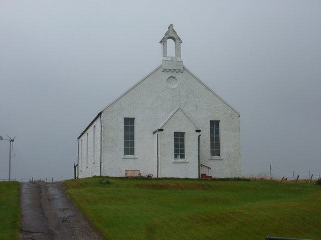
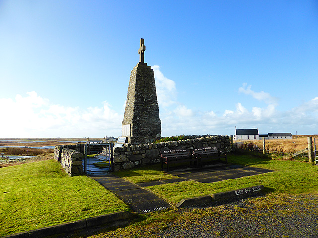
Benbecula has a rich cultural heritage, with traces of human occupation dating back thousands of years. Visitors can explore historical sites such as the ruins of Cille Bharra Church, which dates back to the 12th century. The island is also home to several traditional thatched cottages, providing a glimpse into the island's past.

In terms of transportation, Benbecula has its own airport, Benbecula Airport, which offers regular flights to mainland Scotland. Additionally, there are ferry services available to and from the island, providing connections to other parts of the Outer Hebrides.

Overall, Benbecula offers a tranquil and picturesque setting, making it an ideal destination for those seeking natural beauty and a taste of traditional Scottish island life.

If you have any feedback on the listing, please let us know in the comments section below.

Benbecula Images

Images are sourced within 2km of 57.450824/-7.3060335 or Grid Reference NF8152. Thanks to Geograph Open Source API. All images are credited.

Unnamed loch on Benbecula
The road to the Benbecula dump This is the approach to the island's recycling centre and municipal waste.

Ruabhal, 124 metres high and Benbecula's highest peak, lies ahead.
The road to the Benbecula dump
This is the approach to the island's recycling centre and municipal waste. Ruabhal, 124 metres high and Benbecula's highest peak, lies ahead.
Flag irises and Loch Ba Una By the track to Sgaraileod.
Flag irises and Loch Ba Una
By the track to Sgaraileod.
The track to Sgaraileod Loch Ba Una to the right.
The track to Sgaraileod
Loch Ba Una to the right.
The track to Sgaraileod The island-dotted Loch Heirmeadail ahead to the right.
The track to Sgaraileod
The island-dotted Loch Heirmeadail ahead to the right.
The track to Sgaraileod On the left, the slopes of Ruabhal, the highest point on Benbecula (124m).
The track to Sgaraileod
On the left, the slopes of Ruabhal, the highest point on Benbecula (124m).
Small causeway between two lochs This is on the track to Sgaraileod and the loch in the photo is Loch na Deighe fo Thuath;  to the right, off image, lies Loch na Deighe fo Dheas.
Small causeway between two lochs
This is on the track to Sgaraileod and the loch in the photo is Loch na Deighe fo Thuath; to the right, off image, lies Loch na Deighe fo Dheas.
The track back from Sgaraileod The track here crosses a small causeway between, on the right, Loch na Deighe fo Thuath and on the left, Loch na Deighe fo Dheas.
The track back from Sgaraileod
The track here crosses a small causeway between, on the right, Loch na Deighe fo Thuath and on the left, Loch na Deighe fo Dheas.
Summit trig on Ruabhal Looking towards Grimsay and North Uist.
Summit trig on Ruabhal
Looking towards Grimsay and North Uist.
Summit of Ruabhal, Benbecula
Loch Ba Una
Loch Ba Una
Loch Theirmeadail This photo was taken on my visit to Ruaval (Ruabhal), the highest point on Benbecula. The hills in the far distance comprise the Hecla / Beinn Mhor group, about 20km away on South Uist.
Loch Theirmeadail
This photo was taken on my visit to Ruaval (Ruabhal), the highest point on Benbecula. The hills in the far distance comprise the Hecla / Beinn Mhor group, about 20km away on South Uist.
Ruaval (Ruabhal) summit Near the summit of Ruaval are a trig point and two fairly large cairns. This photo suggests, though it does not prove, that the trig point is at the true highest point. Taken in conjunction with <a href="https://www.geograph.org.uk/photo/2537593">NF8253 : Ruaval (Ruabhal) from the lower cairn</a>, I think that the supremacy of the trig point is beyond doubt.
Ruaval is the highest point of Benbecula. As this island is mostly low-lying, it gives excellent views in all directions.
Ruaval (Ruabhal) summit
Near the summit of Ruaval are a trig point and two fairly large cairns. This photo suggests, though it does not prove, that the trig point is at the true highest point. Taken in conjunction with NF8253 : Ruaval (Ruabhal) from the lower cairn, I think that the supremacy of the trig point is beyond doubt. Ruaval is the highest point of Benbecula. As this island is mostly low-lying, it gives excellent views in all directions.
Ruaval (Ruabhal) from the lower cairn I think that this image, in conjunction with <a href="https://www.geograph.org.uk/photo/2537563">NF8253 : Ruaval (Ruabhal) summit</a>, is conclusive evidence that the trig point is at the summit of the hill.
Cairns, especially on hills which are not major attractions for hillwalkers, are often in locations prominent from below rather than at true summits. This may explain the position of these two cairns.
Ruaval (Ruabhal) from the lower cairn
I think that this image, in conjunction with NF8253 : Ruaval (Ruabhal) summit, is conclusive evidence that the trig point is at the summit of the hill. Cairns, especially on hills which are not major attractions for hillwalkers, are often in locations prominent from below rather than at true summits. This may explain the position of these two cairns.
The eastern slopes of Ruaval (Ruabhal) I have submitted this because, though there are many photos in this square, none appears to show the less often visited east side of Ruaval.
The eastern slopes of Ruaval (Ruabhal)
I have submitted this because, though there are many photos in this square, none appears to show the less often visited east side of Ruaval.
The end of the walk from Ruaval (Ruabhal) ! Even in the Outer Hebrides, rubbish has to go somewhere. This site is, from most perspectives, quite unobtrusive: and, importantly, it does not obstruct access to Ruaval, the highest point of Benbecula.
The end of the walk from Ruaval (Ruabhal) !
Even in the Outer Hebrides, rubbish has to go somewhere. This site is, from most perspectives, quite unobtrusive: and, importantly, it does not obstruct access to Ruaval, the highest point of Benbecula.
Griminish: Benbecula parish church Situated centrally on the island, this church is dated AD1885 below the little tower.
Griminish: Benbecula parish church
Situated centrally on the island, this church is dated AD1885 below the little tower.
Benbecula War Memorial See also <a href="https://www.geograph.org.uk/photo/4244201">NF8051 : Benbecula War Memorial</a> and <span class="nowrap"><a title="http://warmemscot.s4.bizhat.com/warmemscot-post-31198.html" rel="nofollow ugc noopener" href="http://warmemscot.s4.bizhat.com/warmemscot-post-31198.html">Link</a><img style="margin-left:2px;" alt="External link" title="External link - shift click to open in new window" src="https://s1.geograph.org.uk/img/external.png" width="10" height="10"/></span>
Benbecula War Memorial
Show me another place!

Benbecula is located at Grid Ref: NF8152 (Lat: 57.450824, Lng: -7.3060335)

Unitary Authority: Na h-Eileanan an Iar

Police Authority: Highlands and Islands

Also known as: Beinn na Faoghla

What 3 Words

///teaches.bottled.poses. Near Balivanich, Na h-Eileanan Siar

Related Wikis

Uist

Uist is a group of six islands that are part of the Outer Hebridean Archipelago, which is part of the Outer Hebrides of Scotland. North Uist and South...

Benbecula

Benbecula ( ; Scottish Gaelic: Beinn nam Fadhla or Beinn na Faoghla) is an island of the Outer Hebrides in the Atlantic Ocean off the west coast of Scotland...

Uachdar

Uachdar (Scottish Gaelic: An t-Uachdar [ən̪ˠ ˈt̪ʰuəxkəɾ]) is a settlement on the Outer Hebridean Island of Benbecula. Uachdar is within the parish of South...

Flodaigh

Flodaigh is a tidal island lying to the north of Benbecula and south of Grimsay in the Outer Hebrides, Scotland. It is connected to Benbecula by a causeway...

Nearby Amenities

Located within 500m of 57.450824,-7.3060335
Àiridh na h-Aon Oidhche
Historic: archaeological_site
Historic Civilization: neolithic
Lat/Long: 57.4506633/-7.3085756
The data included in this document is from www.openstreetmap.org. The data is made available under ODbL.

Have you been to Benbecula?

Leave your review of Benbecula below (or comments, questions and feedback).