Collins's Island
Island in Suffolk East Suffolk
England
Collins's Island
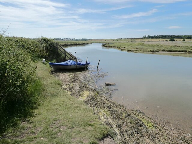
Collins's Island is located off the coast of Suffolk, England, surrounded by the North Sea. It is a small island with an area of approximately 3 square kilometers, making it one of the smaller islands in the area. The island is situated about 5 kilometers northeast of Aldeburgh and is accessible only by boat.
The island is known for its picturesque landscape and natural beauty. It features sandy beaches, rugged cliffs, and rolling hills, making it a popular destination for nature lovers and outdoor enthusiasts. The island is home to a diverse range of wildlife, including numerous species of birds, seals, and marine life.
Collins's Island has a rich history, dating back several centuries. It is named after the Collins family, who were the original owners of the island. Over the years, it has been used for various purposes, including farming and fishing. Today, the island is primarily used for tourism and recreational activities.
Visitors to Collins's Island can enjoy a range of activities, such as hiking, birdwatching, and beachcombing. There are also several accommodation options available on the island, including holiday cottages and campsites.
Despite its small size, Collins's Island offers a peaceful and idyllic escape from the mainland. Its natural beauty, rich history, and diverse wildlife make it a hidden gem in Suffolk's coastal landscape.
If you have any feedback on the listing, please let us know in the comments section below.
Collins's Island Images
Images are sourced within 2km of 52.318805/1.6118751 or Grid Reference TM4675. Thanks to Geograph Open Source API. All images are credited.
Collins's Island is located at Grid Ref: TM4675 (Lat: 52.318805, Lng: 1.6118751)
Administrative County: Suffolk
District: East Suffolk
Police Authority: Suffolk
What 3 Words
///rummage.ombudsman.steamed. Near Southwold, Suffolk
Nearby Locations
Related Wikis

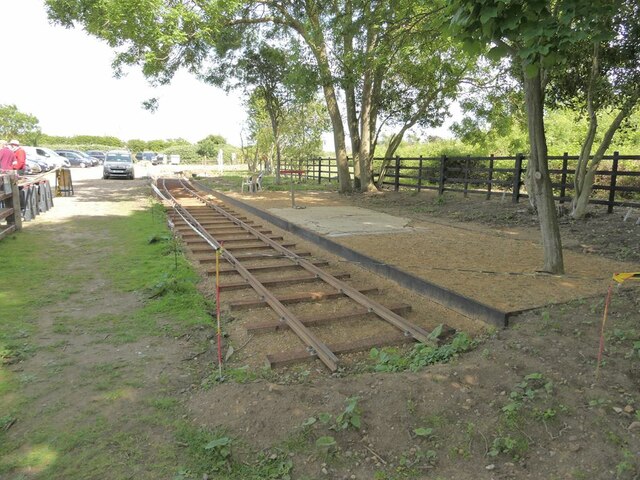
Southwold Railway
The Southwold Railway was a narrow gauge railway line between Halesworth and Southwold in the English county of Suffolk. 8 miles 63+1⁄2 chains (14.15 km...
Suffolk Coast National Nature Reserve
Suffolk Coast National Nature Reserve is a wildlife reserve on the North Sea coast of the English county of Suffolk. It is located around the village of...

Blythburgh
Blythburgh is a village and civil parish in the East Suffolk district of the English county of Suffolk. It is 4 miles (6.4 km) west of Southwold and 5...
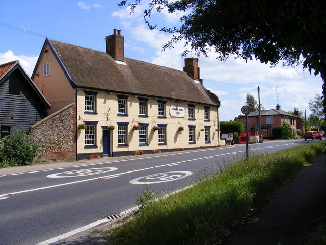
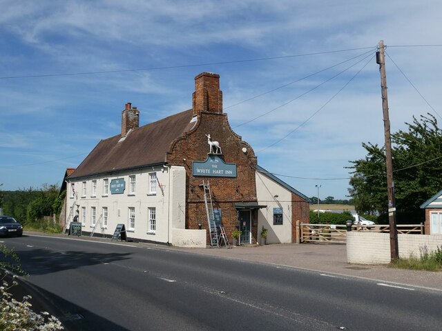
White Hart Inn, Blythburgh
The White Hart Inn is a grade II* listed public house in Blythburgh, Suffolk, England. It is a timber-framed former coaching inn and courthouse that dates...
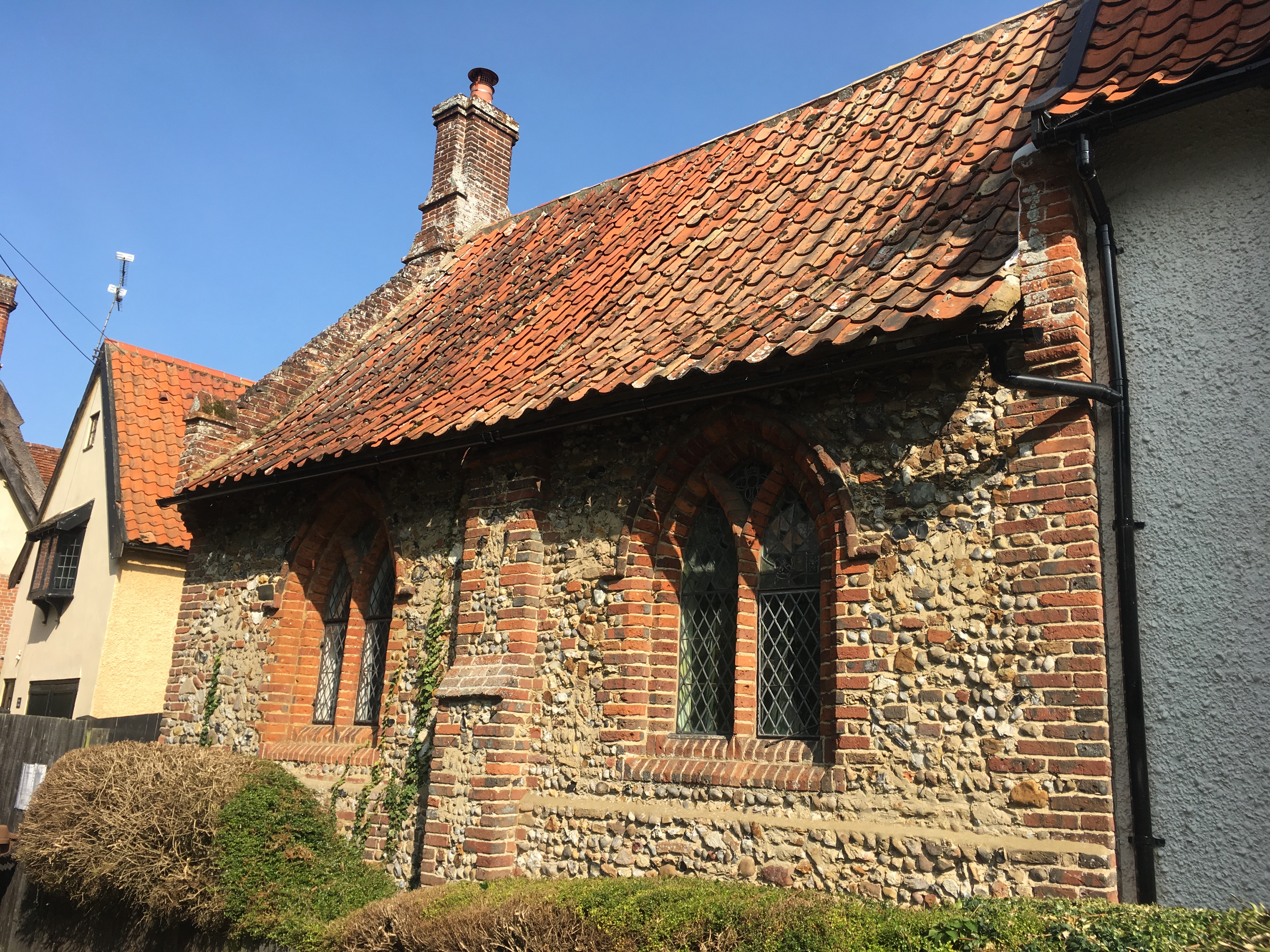
Blythburgh Priory
Blythburgh Priory was a medieval monastic house of Augustinian canons, dedicated to the Blessed Virgin Mary, located in the village of Blythburgh in Suffolk...

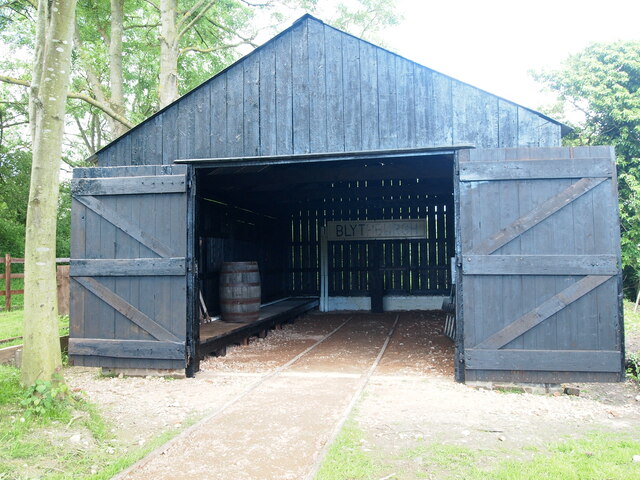
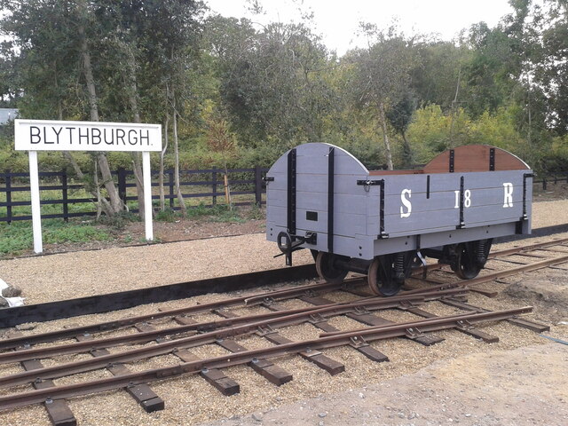
Blythburgh railway station
Blythburgh railway station was located in Blythburgh, Suffolk. The station had two goods sheds. The one shown below is the only remaining building of the...
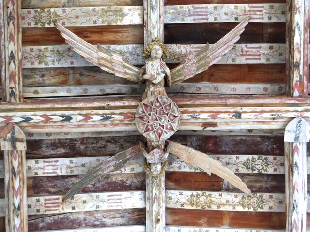
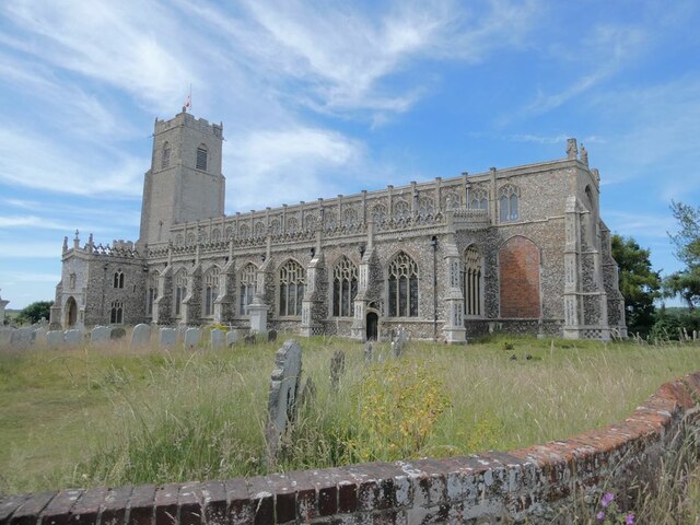
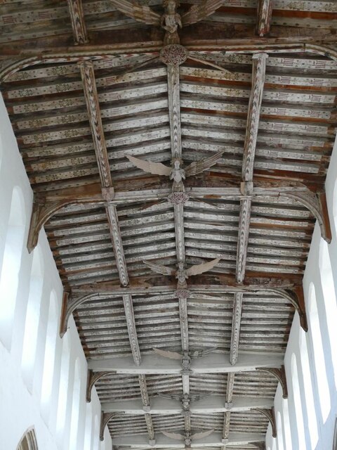
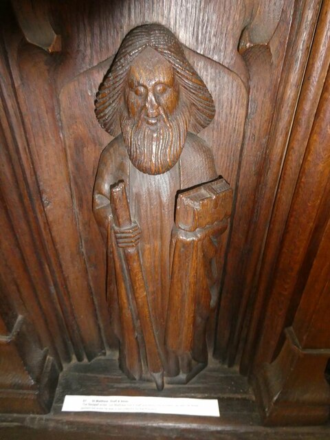
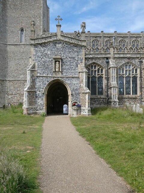
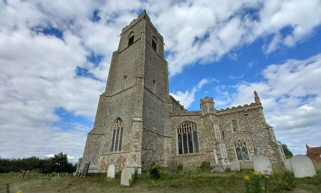
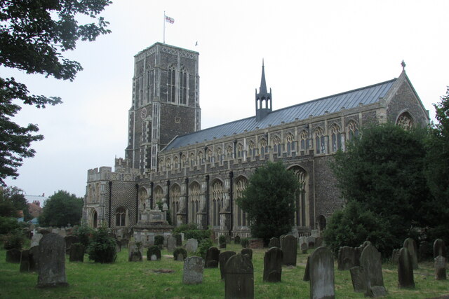
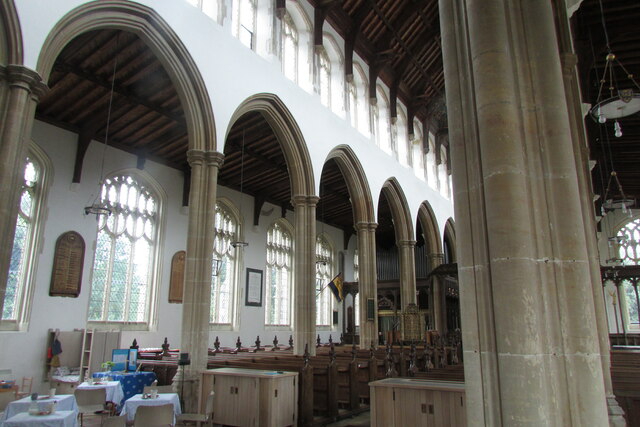
Holy Trinity Church, Blythburgh
The Holy Trinity Church is the parish church of the village of Blythburgh in the East Suffolk district, in the county of Suffolk, England. It is part of...
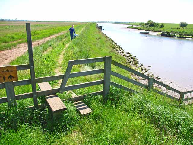
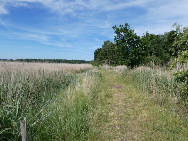
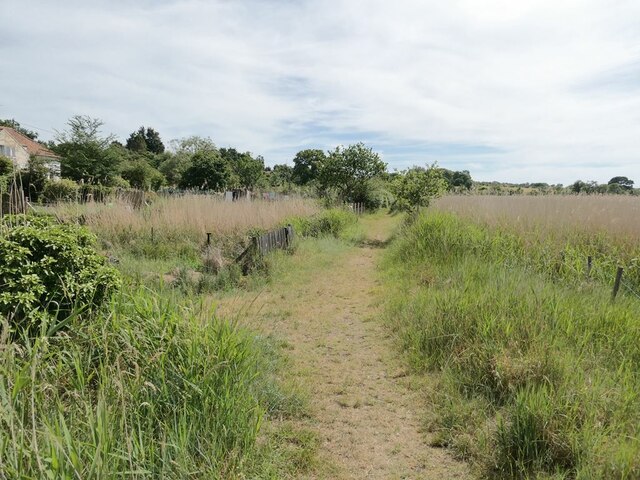
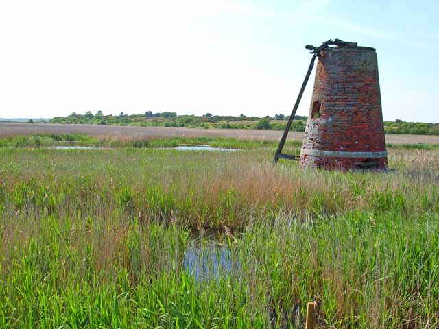
Hen Reedbeds
Hen Reedbeds is a 55 hectare nature reserve near the North Sea coast of the English county of Suffolk. The reserve is located in the Blyth valley between...
Nearby Amenities
Located within 500m of 52.318805,1.6118751Have you been to Collins's Island?
Leave your review of Collins's Island below (or comments, questions and feedback).