Cob Island

Island in Suffolk East Suffolk

England

Cob Island

Aldeburgh village sign Suffolk has 400 villages and towns with village or town signs, give or take one or two. 
The tradition of village signs is believed to have started in Norfolk early in the 20th century when Edward VII suggested that village signs would aid motorists and give a feature of interest on the Sandringham Estate.
Many of the signs  were made by Harry Carter, an art and woodwork master at Hamond’s Grammar School, in Swaffham.
Many have now been replaced with fibreglass or modern plastics. The story behind the sign is given as accurately as possible.
Aldeburgh village sign Credit: Bob Mitchell

Cob Island is a small, uninhabited island located off the coast of Suffolk, England. Situated approximately two miles east of the town of Felixstowe, it is positioned at the mouth of the River Deben. The island is part of the Suffolk Coast and Heaths Area of Outstanding Natural Beauty.

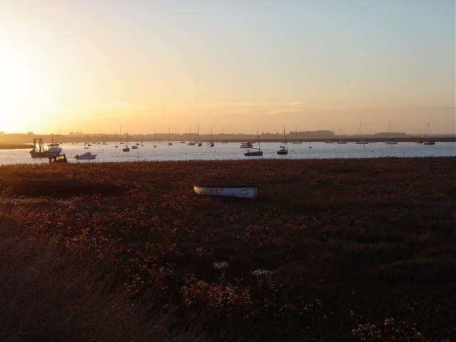
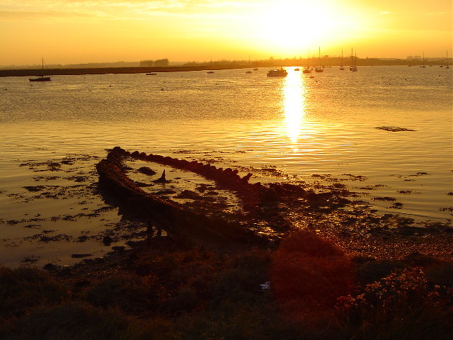
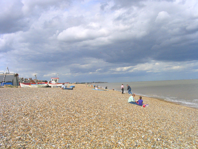
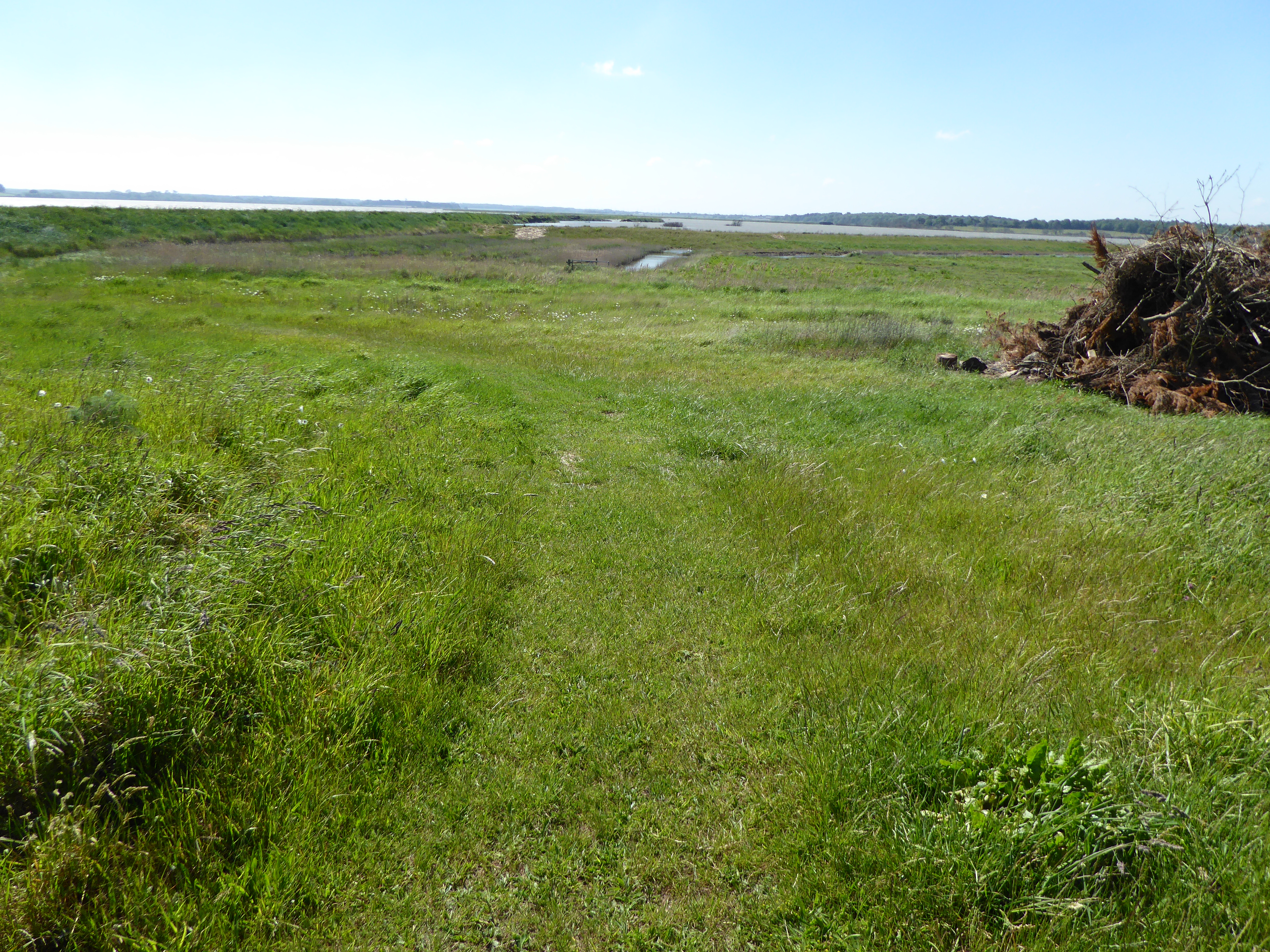
Cob Island is a shingle island, characterized by its pebble and stone beach, which is constantly changing due to the forces of erosion and deposition. The island is only accessible by boat and is a popular destination for birdwatchers and wildlife enthusiasts. It is home to a variety of bird species, including terns, gulls, and waders, making it an important breeding ground and a designated Site of Special Scientific Interest.

The island itself is relatively small, measuring around 300 meters in length and 150 meters in width. It is predominantly flat, with no significant elevation or vegetation, apart from some sparse grassy areas. Due to its exposed location, the island is often battered by the strong winds and rough seas of the North Sea.

Cob Island has a rich history, with evidence of human activity dating back to the Roman period. In the past, it was used for fishing and as a navigational aid for ships entering the River Deben. Today, it remains a tranquil and unspoiled natural oasis, attracting visitors seeking solitude and an opportunity to observe the diverse birdlife that thrives in this unique coastal environment.

If you have any feedback on the listing, please let us know in the comments section below.
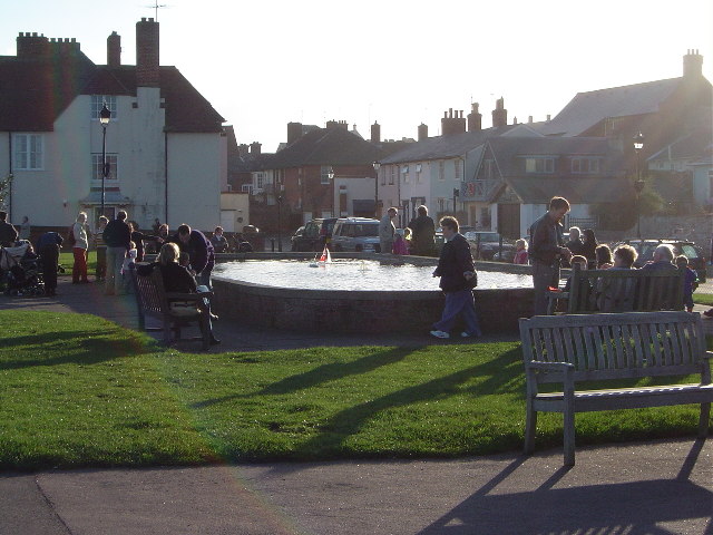
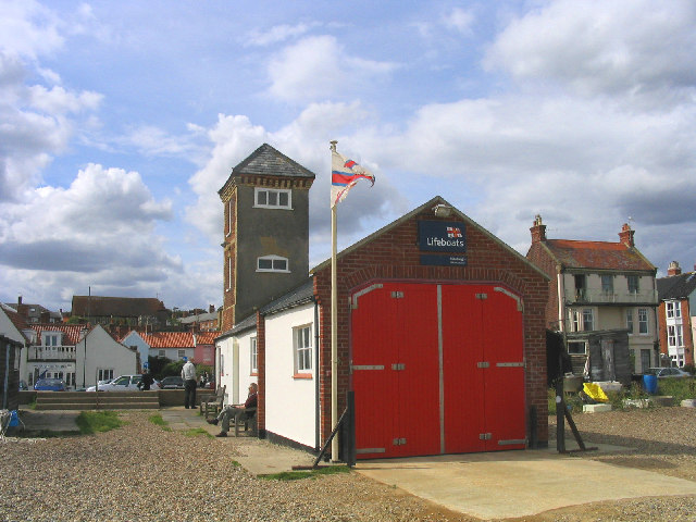
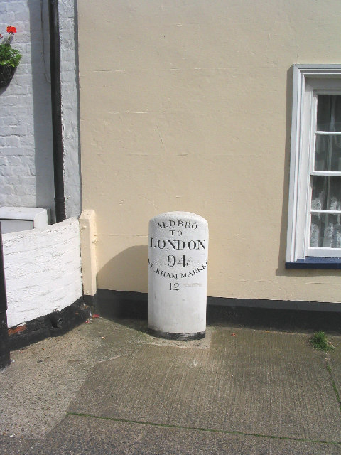
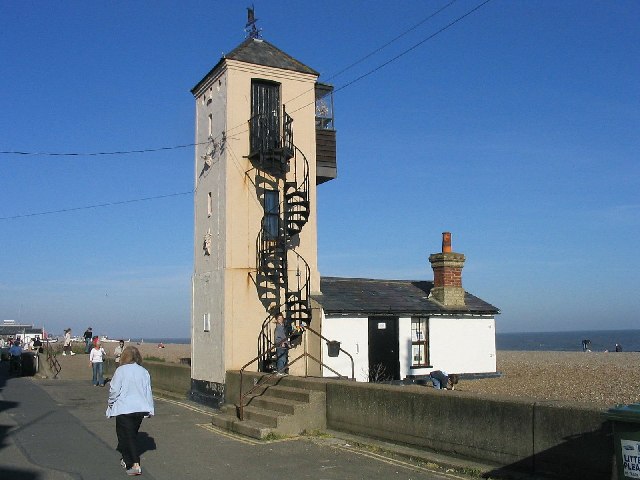
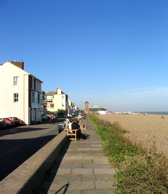
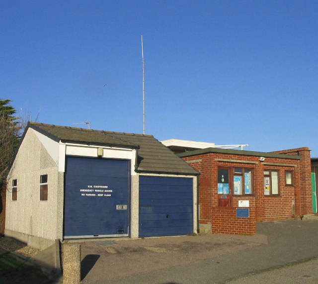
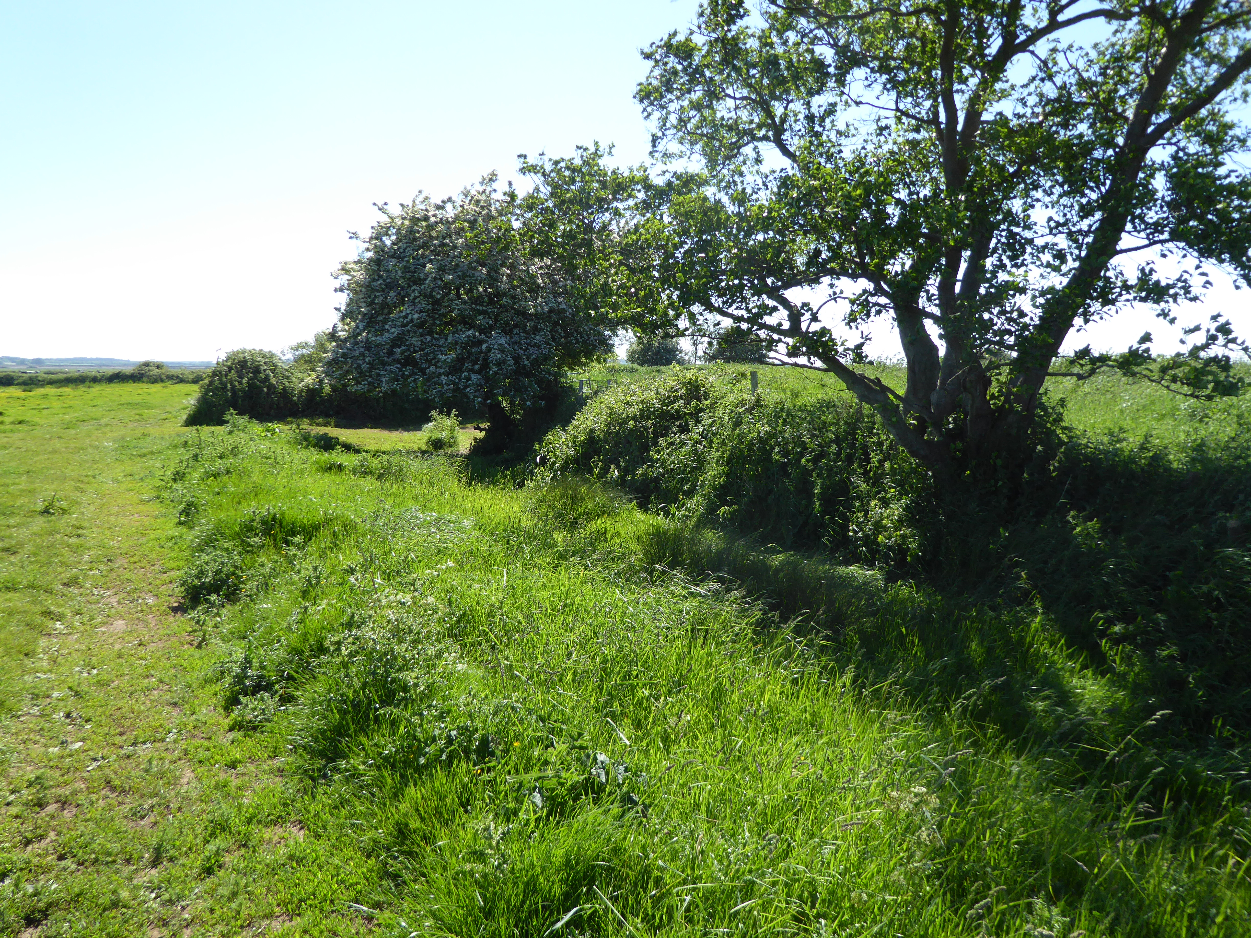
Cob Island Images

Images are sourced within 2km of 52.153339/1.5743389 or Grid Reference TM4456. Thanks to Geograph Open Source API. All images are credited.

Aldeburgh village sign Suffolk has 400 villages and towns with village or town signs, give or take one or two. 
The tradition of village signs is believed to have started in Norfolk early in the 20th century when Edward VII suggested that village signs would aid motorists and give a feature of interest on the Sandringham Estate.
Many of the signs  were made by Harry Carter, an art and woodwork master at Hamond’s Grammar School, in Swaffham.
Many have now been replaced with fibreglass or modern plastics. The story behind the sign is given as accurately as possible.
Aldeburgh village sign
Suffolk has 400 villages and towns with village or town signs, give or take one or two. The tradition of village signs is believed to have started in Norfolk early in the 20th century when Edward VII suggested that village signs would aid motorists and give a feature of interest on the Sandringham Estate. Many of the signs were made by Harry Carter, an art and woodwork master at Hamond’s Grammar School, in Swaffham. Many have now been replaced with fibreglass or modern plastics. The story behind the sign is given as accurately as possible.
The "Boating lake" Aldeburgh Suffolk
Cows grazing in meadow Aldeburgh Suffolk Photograph taken near Aldeburgh
Cows grazing in meadow Aldeburgh Suffolk
Photograph taken near Aldeburgh
Sunset over the Aldeburgh Marshes, Aldeburgh Suffolk Looking south west across Short Reach River Alde towards Cawton
Sunset over the Aldeburgh Marshes, Aldeburgh Suffolk
Looking south west across Short Reach River Alde towards Cawton
Westrow Reach, River Alde, Aldeburgh, Suffolk Skeleton of a long abandoned boat revealed at low water - looking south west from Aldeburgh Marshes
Westrow Reach, River Alde, Aldeburgh, Suffolk
Skeleton of a long abandoned boat revealed at low water - looking south west from Aldeburgh Marshes
Lifeboat Station, Aldeburgh, Suffolk The smaller of two lifeboat stations at Aldeburgh - this one house a D-Class in-shore craft.
Lifeboat Station, Aldeburgh, Suffolk
The smaller of two lifeboat stations at Aldeburgh - this one house a D-Class in-shore craft.
Milestone in the main street, Aldeburgh, Suffolk Unusual milestone on the east side of the High Street.
Milestone in the main street, Aldeburgh, Suffolk
Unusual milestone on the east side of the High Street.
Aldeburgh beach, Suffolk People still enjoying the beach despite the rather threatening clouds!
Aldeburgh beach, Suffolk
People still enjoying the beach despite the rather threatening clouds!
Sunset over Hazlewood Marshes, Aldeburgh, Suffolk Looking south-west from car park at Hazlewood Common towards the marshes (TM4357) with River Alde in background.
Sunset over Hazlewood Marshes, Aldeburgh, Suffolk
Looking south-west from car park at Hazlewood Common towards the marshes (TM4357) with River Alde in background.
Aldeburgh Golf Club
Aldeburgh Golf Club
The old lifeboat house and lookout, Aldeburgh
October sunshine - Aldeburgh Visitors to Aldeburgh enjoying the unseasonally warm October weather.
October sunshine - Aldeburgh
Visitors to Aldeburgh enjoying the unseasonally warm October weather.
Fantasia, Aldeburgh This tiny one up-one down house is situated on the sea front at Aldeburgh and according to a local resident was recently offered for sale at a price of ...£250,000!!!
Fantasia, Aldeburgh
This tiny one up-one down house is situated on the sea front at Aldeburgh and according to a local resident was recently offered for sale at a price of ...£250,000!!!
Fisherman's hut and boat, Aldeburgh
The door to 152 A rather elegant entrance in Aldeburgh High Street. Note the long shadows of the good people of Aldeburgh who waited patiently whilst I took the photograph.
The door to 152
A rather elegant entrance in Aldeburgh High Street. Note the long shadows of the good people of Aldeburgh who waited patiently whilst I took the photograph.
"Ye Olde Wine Shoppe" - Aldeburgh
Aldeburgh Marshes, Aldeburgh, Suffolk
Coastguard Station, Aldeburgh, Suffolk
Show me another place!

Cob Island is located at Grid Ref: TM4456 (Lat: 52.153339, Lng: 1.5743389)

Administrative County: Suffolk

District: East Suffolk

Police Authority: Suffolk

What 3 Words

///obviously.nightcap.dome. Near Aldeburgh, Suffolk

Related Wikis

Aldeburgh Hall Pit

Aldeburgh Hall Pit is a one hectare geological Site of Special Scientific Interest in Aldeburgh in Suffolk. It is a Geological Conservation Review site...

Round Hill Pit, Aldeburgh

Round Hill Pit, Aldeburgh is a 0.5-hectare (1.2-acre) geological Site of Special Scientific Interest in Aldeburgh in Suffolk. It is a Geological Conservation...

Aldeburgh Brick Pit

Aldeburgh Brick Pit is a 0.9-hectare (2.2-acre) geological Site of Special Scientific Interest in Aldeburgh in Suffolk. It is a Geological Conservation...

Aldeburgh railway station

Aldeburgh railway station (formerly Aldborough) was a station in Aldeburgh, Suffolk, England. It was opened in 1860 by the East Suffolk Railway, and later...

Nearby Amenities

Located within 500m of 52.153339,1.5743389
Source: PGS
Lat/Long: 52.1506888/1.5692302
Source: PGS
Lat/Long: 52.1517133/1.570386
Source: PGS
Lat/Long: 52.1519602/1.5708554
Source: PGS
Lat/Long: 52.1526437/1.572026
Source: PGS
Lat/Long: 52.1527245/1.5725761
Source: PGS
Lat/Long: 52.1528789/1.5726985
Source: PGS
Lat/Long: 52.1529676/1.5726345
Source: PGS
Lat/Long: 52.1539767/1.5720767
Source: PGS
Lat/Long: 52.1540437/1.5716866
Source: PGS
Lat/Long: 52.1553152/1.5691278
Source: PGS
Lat/Long: 52.1554995/1.5687205
Source: PGS
Lat/Long: 52.157706/1.5760659
Source: PGS
Lat/Long: 52.1571563/1.5770797
Source: PGS
Lat/Long: 52.1554555/1.5774879
Source: PGS
Lat/Long: 52.1555007/1.5778267
Source: PGS
Lat/Long: 52.155322/1.5790593
Source: PGS
Lat/Long: 52.1549828/1.5795175
Source: PGS
Lat/Long: 52.1545156/1.5799641
Source: PGS
Lat/Long: 52.1539968/1.5802984
Source: PGS
Lat/Long: 52.1535136/1.5799269
Source: PGS
Lat/Long: 52.1530568/1.5802991
Source: PGS
Lat/Long: 52.1524237/1.5799128
Source: PGS
Lat/Long: 52.1520253/1.5796337
Source: PGS
Lat/Long: 52.1514691/1.5791403
Source: PGS
Lat/Long: 52.1504529/1.5775063
Source: PGS
Lat/Long: 52.1493561/1.5739065
Source: PGS
Lat/Long: 52.1491667/1.5735252
Source: PGS
Lat/Long: 52.1492389/1.5733918
The data included in this document is from www.openstreetmap.org. The data is made available under ODbL.

Have you been to Cob Island?

Leave your review of Cob Island below (or comments, questions and feedback).