Fulsam Rock
Island in Kent Thanet
England
Fulsam Rock

Fulsam Rock is a small island located off the coast of Kent, England. Situated in the English Channel, it forms part of the Greater Thames Estuary. The island covers an area of approximately 0.6 hectares and is composed mainly of chalk cliffs, giving it a distinctive white appearance.
Access to Fulsam Rock is restricted due to its remote location and challenging terrain. The island is uninhabited, with no permanent structures or facilities. Its isolation and rugged landscape make it an ideal spot for wildlife, particularly seabirds, which use the cliffs as nesting sites.
Fulsam Rock is part of a designated nature reserve, managed by a local conservation organization. The reserve aims to protect the island's unique ecosystem and preserve its biodiversity. Visitors are permitted but must adhere to strict guidelines to minimize disturbance to the wildlife.
The island's shores are rocky and provide a habitat for various marine species, such as seals and shellfish. It is also known for its diverse bird population, including guillemots, razorbills, and kittiwakes. Birdwatchers often visit Fulsam Rock to observe these species in their natural environment.
Due to its geographical location, Fulsam Rock is subject to strong tidal currents and weather conditions. This, combined with its rocky terrain, makes it a challenging environment for navigation and exploration. Consequently, only experienced individuals or guided tours are recommended for those wishing to venture to the island.
In summary, Fulsam Rock is a small, uninhabited island off the coast of Kent, known for its white chalk cliffs and diverse wildlife. It is an important nature reserve and offers a unique and rugged environment for those seeking a remote and natural experience.
If you have any feedback on the listing, please let us know in the comments section below.
Fulsam Rock Images
Images are sourced within 2km of 51.393911/1.386287 or Grid Reference TR3571. Thanks to Geograph Open Source API. All images are credited.


Fulsam Rock is located at Grid Ref: TR3571 (Lat: 51.393911, Lng: 1.386287)
Administrative County: Kent
District: Thanet
Police Authority: Kent
What 3 Words
///twigs.finely.allows. Near Margate, Kent
Nearby Locations
Related Wikis
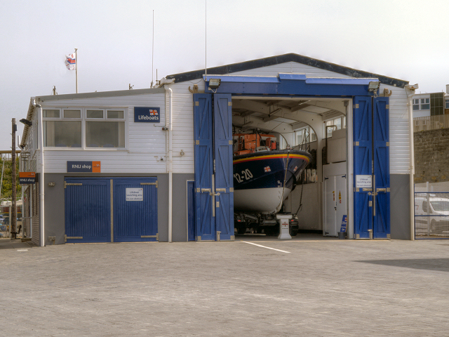
Margate Lifeboat Station
Margate Lifeboat Station is a Royal National Lifeboat Institution (RNLI) station located in Margate in the English county of Kent. The station is over...
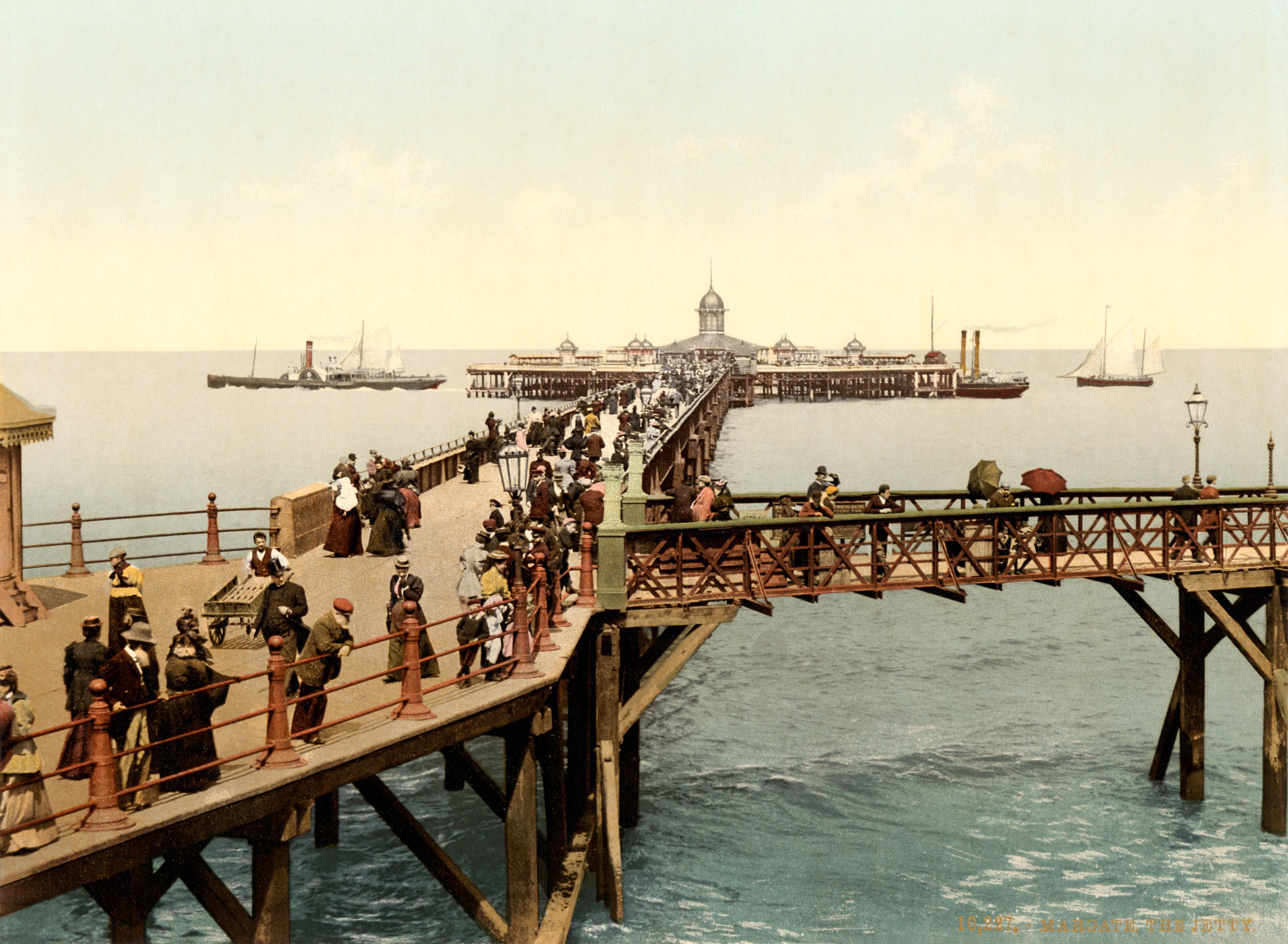
Margate Jetty
The Margate Jetty (also known as Margate Pier) was a pier in Margate, Kent, in England initially constructed of wood in 1824. It was rebuilt in iron in...

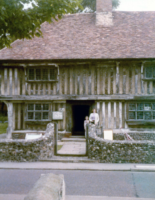
Droit House
Droit House is a Grade II listed building and former customs house in Margate that was redesigned by William Edmunds. It was originally built in 1812 and...

Clifton Villa Estate
Clifton Villa Estate, also known as New Cricket Ground, was a cricket ground in the Cliftonville area of the town of Margate in Kent. The only first-class...

Margate Town Hall
Margate Town Hall is a municipal building in the Market Place, Margate, Kent, England. The complex, which was the headquarters of Margate Borough Council...
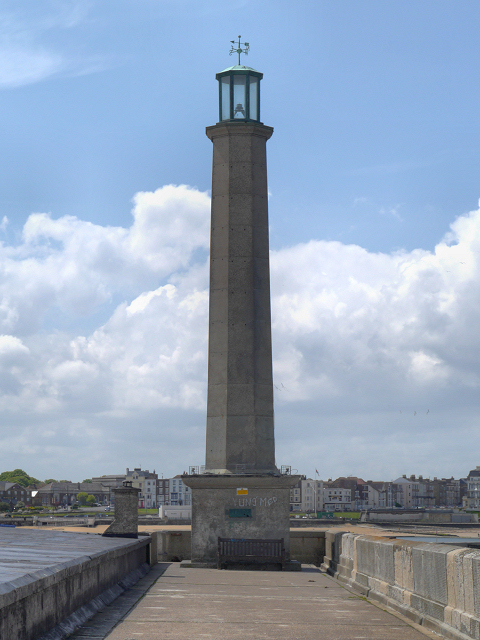
Margate Lighthouse
Margate Lighthouse is a lighthouse on the end of Margate harbour arm in Kent. == 1828 lighthouse == This lighthouse was designed by the architect William...
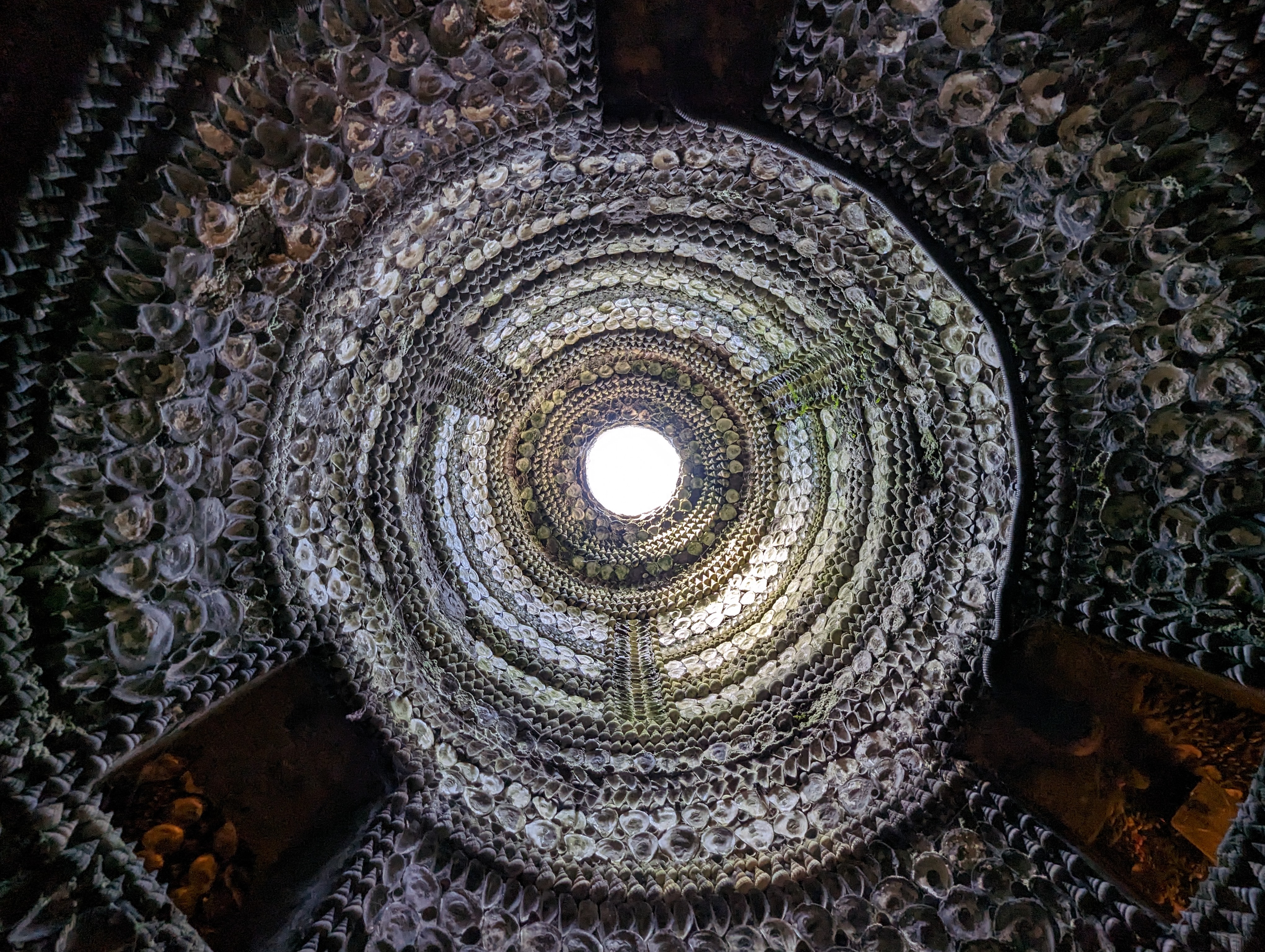
Shell Grotto, Margate
The Shell Grotto is an ornate subterranean passageway shell grotto in Margate, Kent, England. Almost all the surface area of the walls and roof is covered...
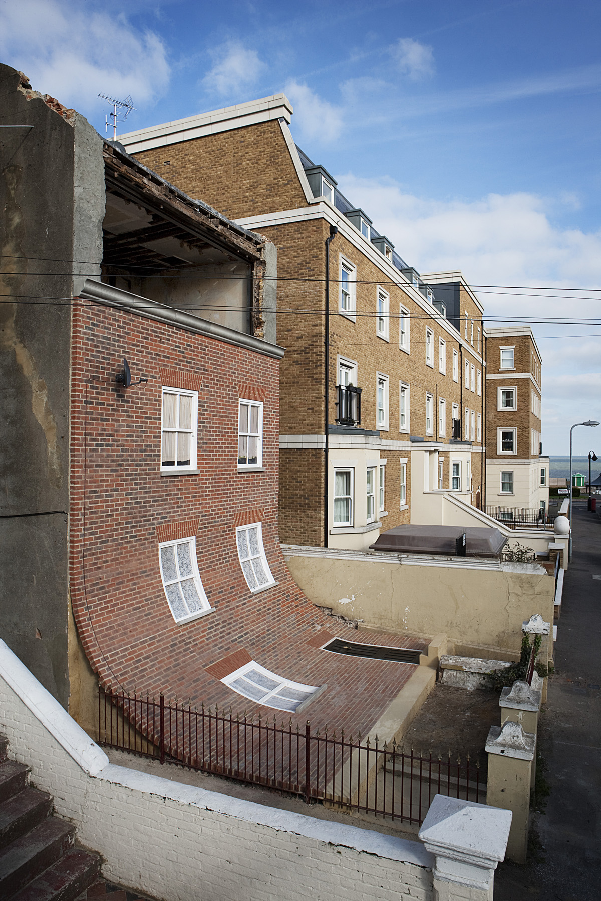
From the Knees of my Nose to the Belly of my Toes
From the Knees of my Nose to the Belly of my Toes was a sculpture and public art installation by the artist Alex Chinneck that existed in Cliftonville...
Nearby Amenities
Located within 500m of 51.393911,1.386287Have you been to Fulsam Rock?
Leave your review of Fulsam Rock below (or comments, questions and feedback).