Havengore Island

Island in Essex Rochford

England

Havengore Island

Seals basking at the entrance to Shelford Creek Photo taken from Wayfarer sailing dinghy belonging to the Hostellers Sailing Club, based at Paglesham. <span class="nowrap"><a title="http://www.btinternet.com/~sail/" rel="nofollow ugc noopener" href="http://www.btinternet.com/~sail/">Link</a><img style="margin-left:2px;" alt="External link" title="External link - shift click to open in new window" src="https://s1.geograph.org.uk/img/external.png" width="10" height="10"/></span>
Seals basking at the entrance to Shelford Creek Credit: Tom Loosemore

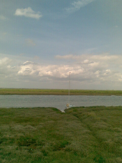
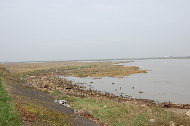
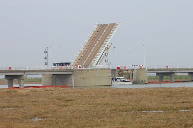
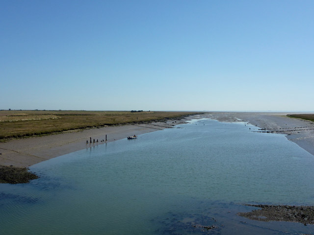
Havengore Island is a small, privately owned island located in the county of Essex, England. Situated in the River Roach estuary, the island covers an area of approximately 120 acres and is accessible only by boat. It is named after the nearby village of Havengore.

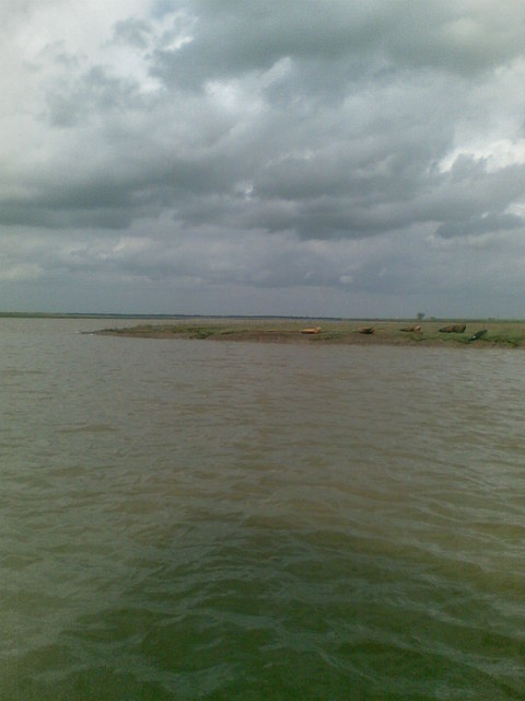
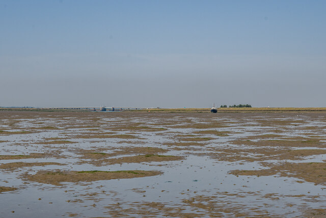
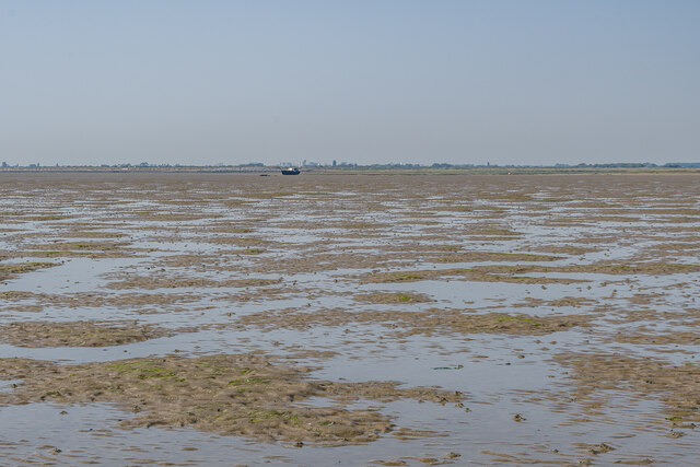
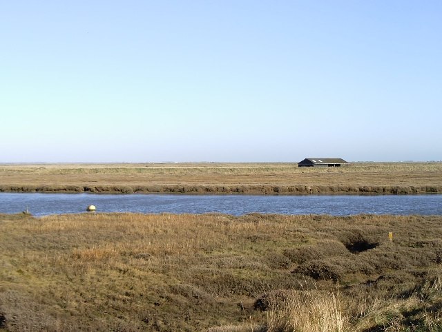
The island is known for its picturesque beauty, with a diverse landscape that includes marshland, meadows, and woodland areas. It is home to a rich variety of wildlife, including various bird species and seals that can often be seen basking on the shores.

Havengore Island has a long and fascinating history. It was previously used for grazing cattle, and evidence of ancient settlements has been discovered, suggesting human habitation dating back to the Bronze Age. In the past, it was also a popular spot for smuggling due to its secluded location.

One of the island's most notable features is its historic manor house, Havengore House. Built in the late 19th century, the house is a fine example of Victorian architecture and offers stunning views of the surrounding countryside. It is currently privately owned and not open to the public.

Today, Havengore Island serves as a peaceful retreat and a haven for nature lovers and birdwatchers. Visitors can take boat trips to the island, where they can explore its natural beauty and enjoy the tranquility of the surroundings. Although it is not a tourist hotspot, Havengore Island offers a unique and enchanting experience for those seeking a peaceful escape in the heart of Essex.

If you have any feedback on the listing, please let us know in the comments section below.

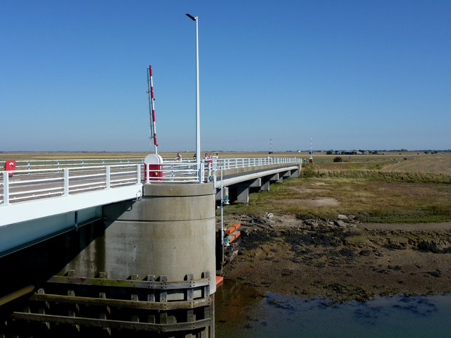
Havengore Island Images

Images are sourced within 2km of 51.568463/0.84707363 or Grid Reference TQ9789. Thanks to Geograph Open Source API. All images are credited.

Seals basking at the entrance to Shelford Creek Photo taken from Wayfarer sailing dinghy belonging to the Hostellers Sailing Club, based at Paglesham. <span class="nowrap"><a title="http://www.btinternet.com/~sail/" rel="nofollow ugc noopener" href="http://www.btinternet.com/~sail/">Link</a><img style="margin-left:2px;" alt="External link" title="External link - shift click to open in new window" src="https://s1.geograph.org.uk/img/external.png" width="10" height="10"/></span>
Seals basking at the entrance to Shelford Creek
Photo taken from Wayfarer sailing dinghy belonging to the Hostellers Sailing Club, based at Paglesham. LinkExternal link
The Road on to Foulness Island Normally closed to anyone without a pass, the road on to Foulness was open to those of us taking part in a sponsored cycle event.
The Road on to Foulness Island
Normally closed to anyone without a pass, the road on to Foulness was open to those of us taking part in a sponsored cycle event.
From east shore of Rushley Island across Narrow Cuts towards Havengore Island View east across the saltgrass marshes from near the eastern sea wall of Rushley Island, overlooking the channel known as Narrow Cuts with the western side of Havengore Island in the background.
From east shore of Rushley Island across Narrow Cuts towards Havengore Island
View east across the saltgrass marshes from near the eastern sea wall of Rushley Island, overlooking the channel known as Narrow Cuts with the western side of Havengore Island in the background.
Oxenham's (sic) Farm Sluice This is the name given to the installation by the DoE but the farm after which it is named is referred to on OS maps and known locally as Oxenham Farm.
Oxenham's (sic) Farm Sluice
This is the name given to the installation by the DoE but the farm after which it is named is referred to on OS maps and known locally as Oxenham Farm.
Great Wakering Sea Scouts headquarters Situated below the sea-wall near Mill Head basin and overlooking Havengore Creek and Rushley Island.
Great Wakering Sea Scouts headquarters
Situated below the sea-wall near Mill Head basin and overlooking Havengore Creek and Rushley Island.
Ford onto Rushley Island Crossing Havengore Creek
Ford onto Rushley Island
Crossing Havengore Creek
Havengore Farm Taken on a Foulness Heritage Centre open day on the way to Churchend.
Havengore Farm
Taken on a Foulness Heritage Centre open day on the way to Churchend.
New England Creek This creek separates Havengore Island from the smaller New England Island and also Foulness Island itself. The white birds that can just about be seen are a bunch of avocets.
New England Creek
This creek separates Havengore Island from the smaller New England Island and also Foulness Island itself. The white birds that can just about be seen are a bunch of avocets.
Towards Sharpsness Head Looking across an area of firm mud from just off the Broomway, with Sharpsness Head on Foulness Island in the background.
Towards Sharpsness Head
Looking across an area of firm mud from just off the Broomway, with Sharpsness Head on Foulness Island in the background.
Towards Havengore Bridge Looking towards Havengore Bridge across firm mud and Dwarf Eelgrass (Zostera noltii) off the Broomway.  The original bridge was completed in 1922, before which the only means of access to Foulness Island from the mainland was on foot or cart using the Broomway.  The current bridge dates from 1988.
Towards Havengore Bridge
Looking towards Havengore Bridge across firm mud and Dwarf Eelgrass (Zostera noltii) off the Broomway. The original bridge was completed in 1922, before which the only means of access to Foulness Island from the mainland was on foot or cart using the Broomway. The current bridge dates from 1988.
Towards Havengore Bridge Looking towards Havengore Bridge across firm mud off the Broomway.  The original bridge was completed in 1922, before which the only means of access to Foulness Island from the mainland was on foot or cart using the Broomway.  The current bridge dates from 1988.
Towards Havengore Bridge
Looking towards Havengore Bridge across firm mud off the Broomway. The original bridge was completed in 1922, before which the only means of access to Foulness Island from the mainland was on foot or cart using the Broomway. The current bridge dates from 1988.
Towards Haven Point Looking across firm mud off the Broomway with Haven Point in the background.
Towards Haven Point
Looking across firm mud off the Broomway with Haven Point in the background.
Towards Sharpsness Head Looking across firm mud and Dwarf Eelgrass (Zostera noltii) off the Broomway with Sharpsness Head in the background.
Towards Sharpsness Head
Looking across firm mud and Dwarf Eelgrass (Zostera noltii) off the Broomway with Sharpsness Head in the background.
Concrete chunks and other military debris at Haven Point The mouth of Havengore Creek
Concrete chunks and other military debris at Haven Point
The mouth of Havengore Creek
The bridge opens Havengore Creek bascule bridge. A short (and safer) cut for small craft between the south Essex estuaries and the Thames.
The bridge opens
Havengore Creek bascule bridge. A short (and safer) cut for small craft between the south Essex estuaries and the Thames.
Havengore Creek Taken from Havengore Bridge, the access to Foulness Island.
Havengore Creek
Taken from Havengore Bridge, the access to Foulness Island.
Havengore Bridge Looking towards Foulness Island.
Havengore Bridge
Looking towards Foulness Island.
Show me another place!

Havengore Island is located at Grid Ref: TQ9789 (Lat: 51.568463, Lng: 0.84707363)

Administrative County: Essex

District: Rochford

Police Authority: Essex

What 3 Words

///weeps.bounty.brick. Near Great Wakering, Essex

Related Wikis

Havengore Island

Havengore Island is a low-lying, marshy island in the civil parish of Foulness, in the Rochford district, in the county of Essex, England. It is bounded...

New England Island

New England Island is an uninhabited island in Essex, England. One road crosses the island, connecting it with bridges to Foulness and to the mainland...

Rushley Island

Rushley Island is a small uninhabited island in Essex, England. It is the smallest of six islands comprising an archipelago in Essex, and is privately...

The Broomway

The Broomway, also formerly called the "Broom Road", is a public right of way over the foreshore at Maplin Sands off the coast of Essex, England. Most...

Potton Island

Potton Island is a sparsely populated island west of Foulness in Essex, England. It is connected to the mainland by a swing bridge with a traffic light...
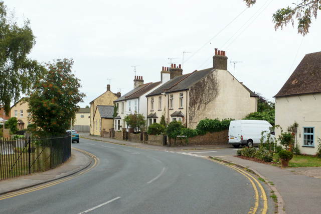
Great Wakering

Great Wakering is a village in the Rochford District in Essex, England. It is approximately four miles east of Southend. Great Wakering consists mainly...

Rochford and Southend East (UK Parliament constituency)

Rochford and Southend East is a constituency represented in the House of Commons of the UK Parliament since 2005 by Sir James Duddridge, a Conservative...

Wallasea Island

Wallasea Island lies in Essex, England. It is bounded to the north by the River Crouch, to the south east by the River Roach, and to the west by Paglesham...

Have you been to Havengore Island?

Leave your review of Havengore Island below (or comments, questions and feedback).