Bridgemarsh Island
Island in Essex Maldon
England
Bridgemarsh Island

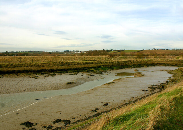
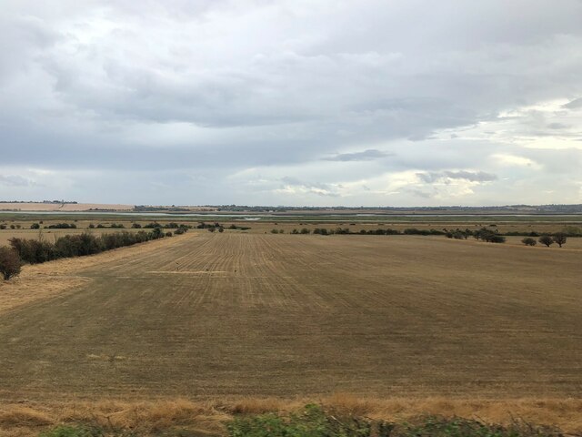
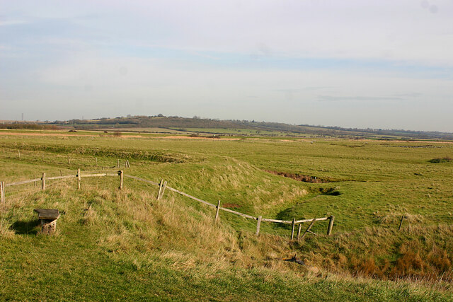
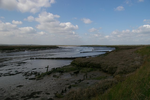
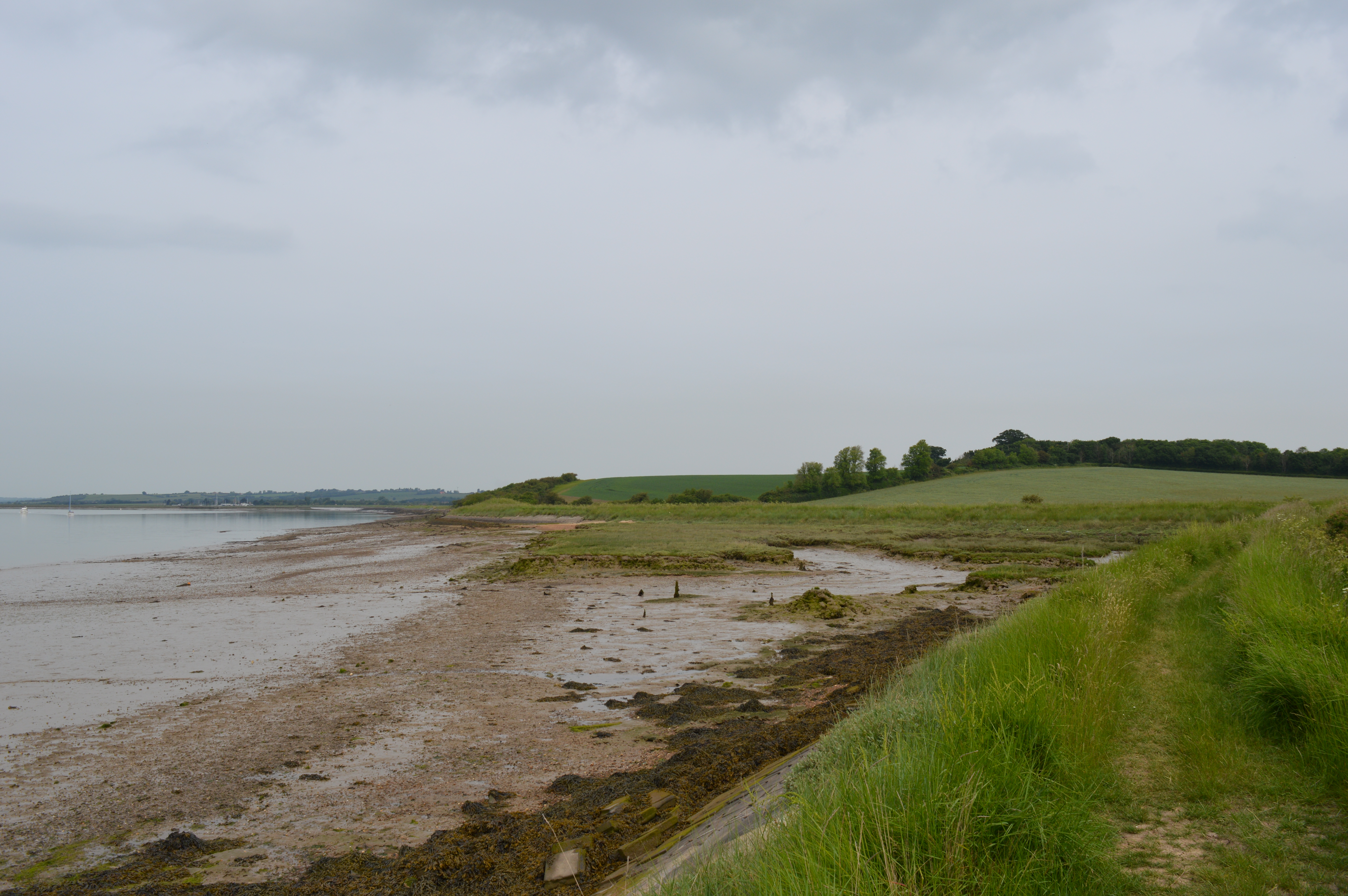
Bridgemarsh Island is a small and picturesque island located in the county of Essex, England. Situated in the Blackwater Estuary, the island is surrounded by marshland and offers stunning views of the surrounding landscape. Covering an area of approximately 1.5 square miles, Bridgemarsh Island is known for its unique and diverse ecosystem.
The island is largely uninhabited, with no permanent residents, making it a peaceful and secluded destination for nature lovers and wildlife enthusiasts. Its remote location and limited accessibility make it an ideal spot for birdwatching and observing various species of wildlife. The island is home to a variety of bird species, including wading birds, seabirds, and migratory birds.
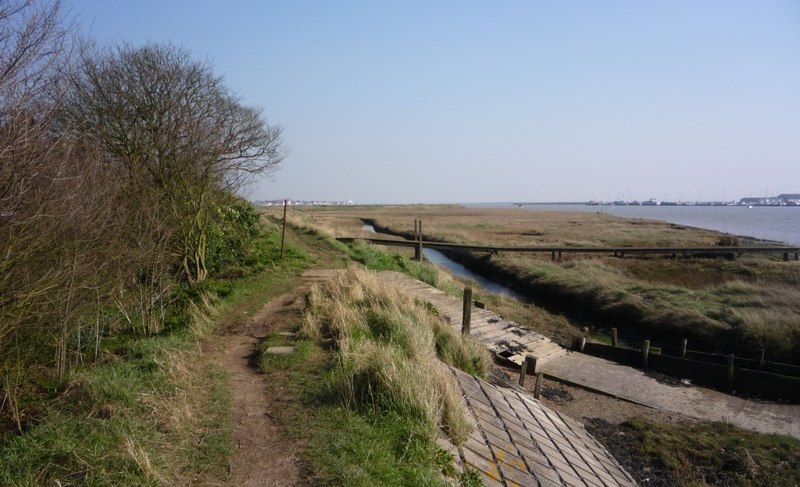
Bridgemarsh Island is accessible by boat, with several local operators offering guided tours and transportation to and from the island. Visitors can explore the island's natural beauty, walk along its scenic trails, and enjoy the tranquility of its surroundings. The marshland provides an important habitat for numerous plant and animal species, including saltmarsh plants and insects.
In addition to its natural beauty, Bridgemarsh Island also holds historical significance. It was historically used for grazing livestock and salt production. Ruins of salt pans and other remnants of its past can still be seen on the island.
Overall, Bridgemarsh Island is a hidden gem in Essex, offering a peaceful escape from the hustle and bustle of everyday life. Its untouched beauty, diverse wildlife, and rich history make it a must-visit destination for those seeking a unique and authentic experience in the heart of nature.
If you have any feedback on the listing, please let us know in the comments section below.
Bridgemarsh Island Images
Images are sourced within 2km of 51.638722/0.73441124 or Grid Reference TQ8996. Thanks to Geograph Open Source API. All images are credited.


Bridgemarsh Island is located at Grid Ref: TQ8996 (Lat: 51.638722, Lng: 0.73441124)
Administrative County: Essex
District: Maldon
Police Authority: Essex
What 3 Words
///restores.precautions.scales. Near Canewdon, Essex
Nearby Locations
Related Wikis
Bridgemarsh Island
Bridgemarsh Island is in the tidal part of the River Crouch in the English county of Essex, three miles upstream from Burnham-on-Crouch. The main river...
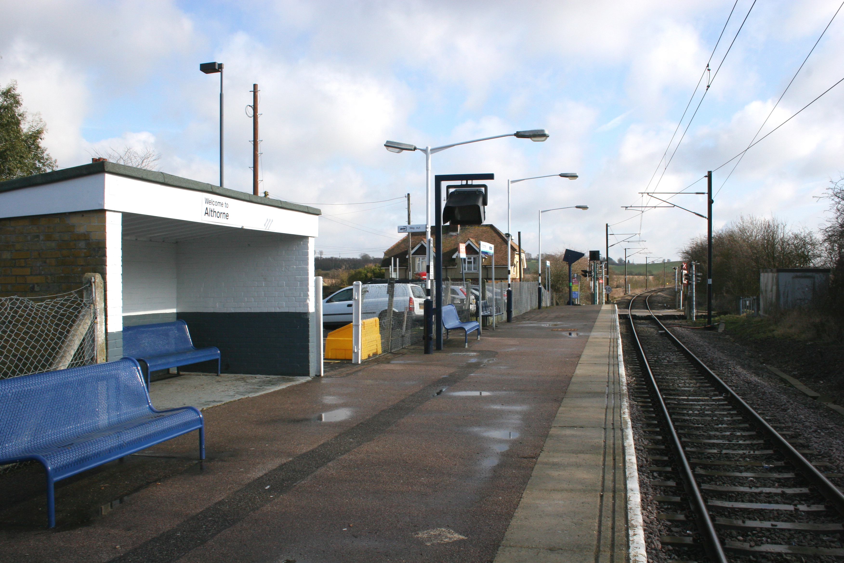
Althorne railway station
Althorne railway station is on the Crouch Valley Line in the East of England, serving the village of Althorne, Essex. It is 40 miles 27 chains (64.92 km...
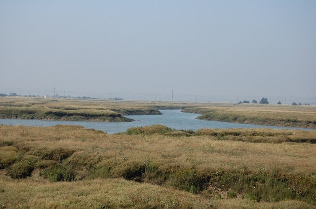
Crouch and Roach Estuaries
The Crouch and Roach Estuaries are a 1729 hectare biological Site of Special Scientific Interest (SSSI) at the mouth of the Crouch and Roach rivers in...
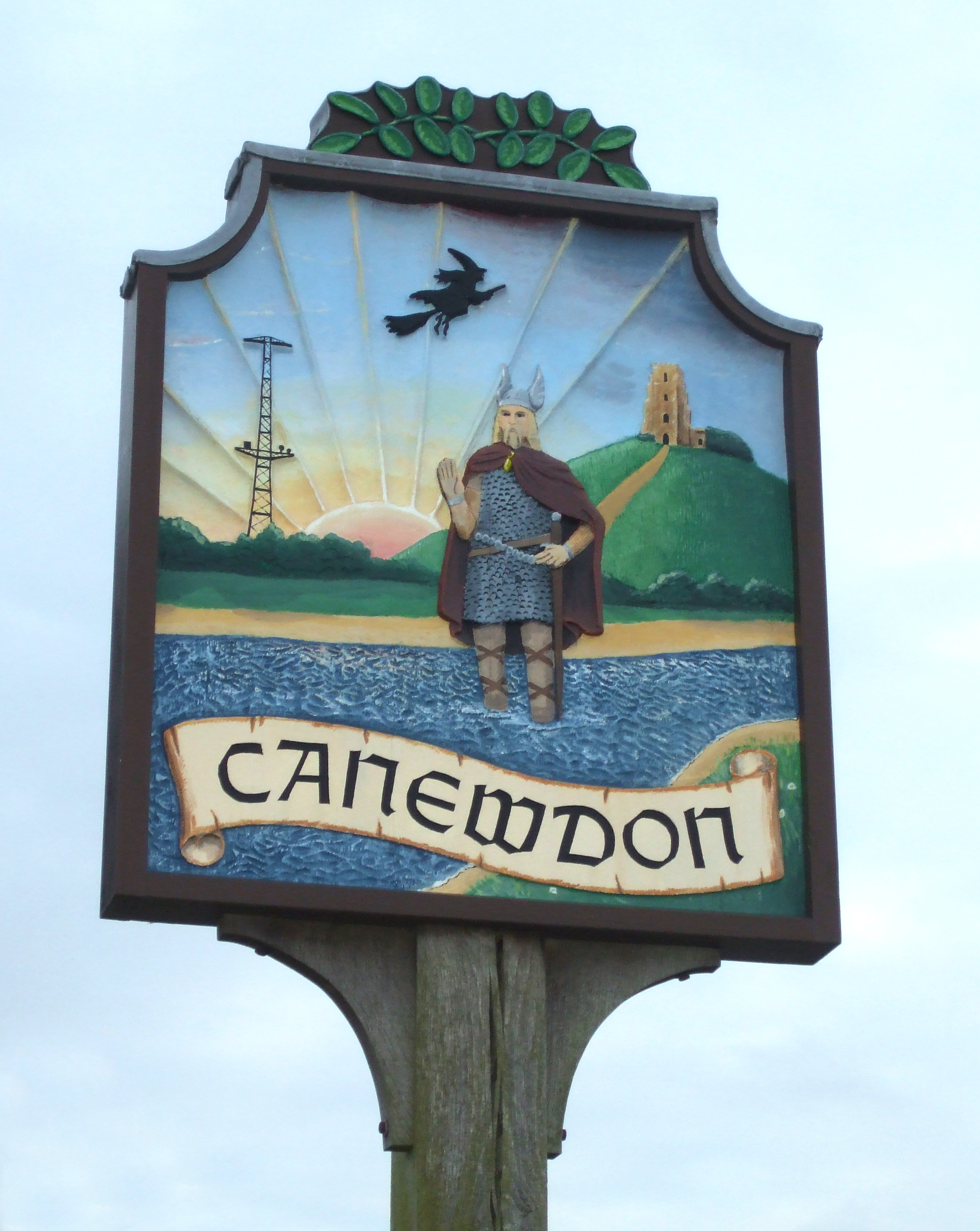
Canewdon
Canewdon is a village and civil parish in the Rochford district of Essex, England. The village is located approximately 4 miles (6.4 km) northeast of the...
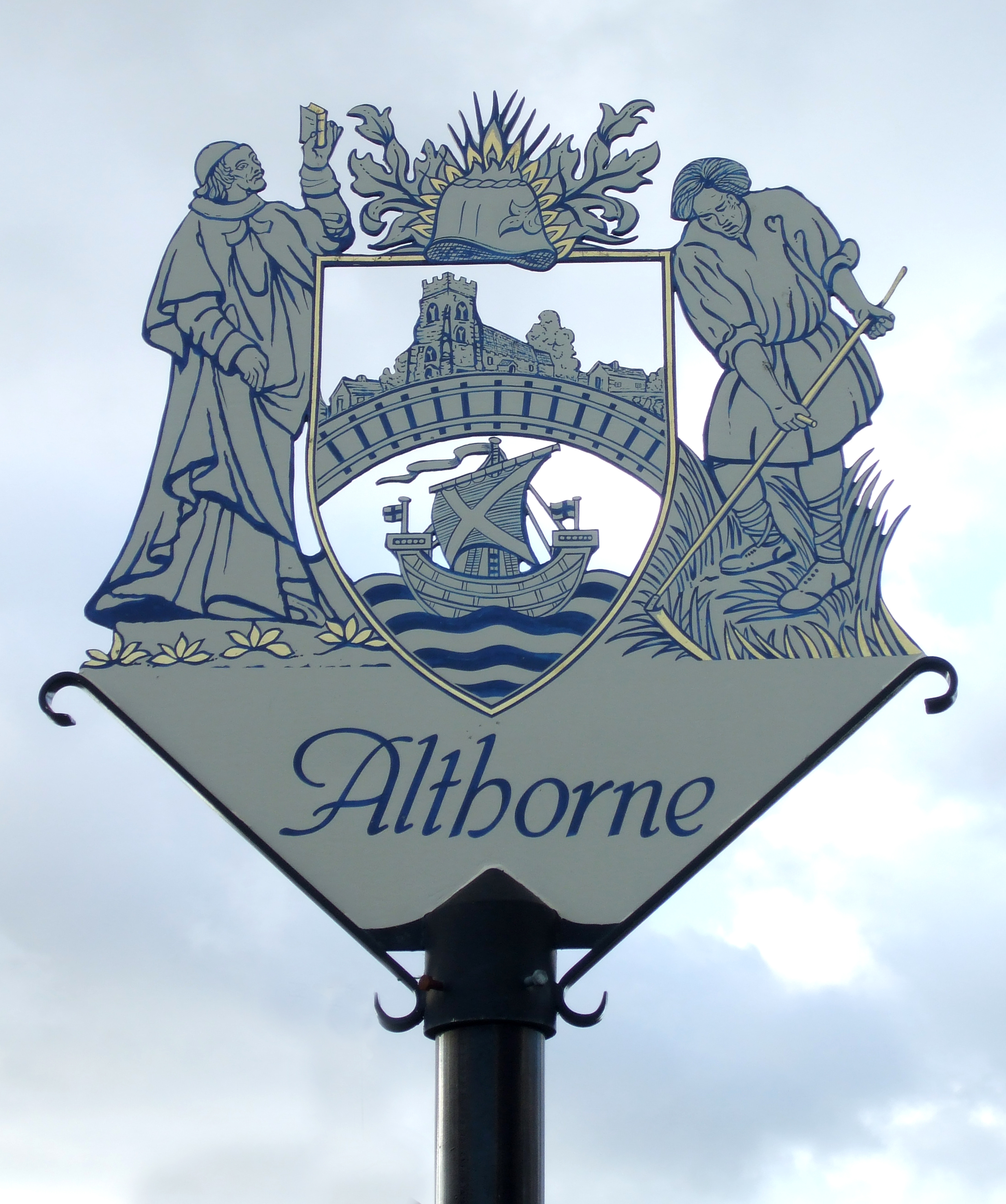
Althorne
Althorne is a village and civil parish in Essex, England. It is located 21 km (13 mi) east-southeast from the county town and city of Chelmsford. The village...
The Cliff, Burnham-on-Crouch
The Cliff, Burnham-on-Crouch is a 4 hectare geological Site of Special Scientific Interest (SSSI) on the bank of the River Crouch between Burnham-on-Crouch...
Creeksea
Creeksea is a village and former civil parish, now in the parish of Burnham-on-Crouch, in the Maldon district, in the county of Essex, England. It is on...

Lion Creek and Lower Raypits
Lion Creek and Lower Raypits is a 65.2-hectare (161-acre) nature reserve east of Canewdon in Essex. It is part of the Crouch and Roach Estuaries Site of...
Nearby Amenities
Located within 500m of 51.638722,0.73441124Have you been to Bridgemarsh Island?
Leave your review of Bridgemarsh Island below (or comments, questions and feedback).