The Island

Island in Suffolk West Suffolk

England

The Island

Great Thurlow smock mill The mill was renovated in 2011, losing its sails and fantail and acquiring a bright metal casing to its cap. It was Grade II* listed as "a fine example" of a smock mill with sails after restoration in 1962.

By way of comparison:
<a href="https://www.geograph.org.uk/photo/49024">TL6749 : Windmill, Great Thurlow, Suffolk</a> (with sails in 2005)
<a href="https://www.geograph.org.uk/photo/2480637">TL6749 : Restoration</a> (2011)
Great Thurlow smock mill Credit: John Sutton

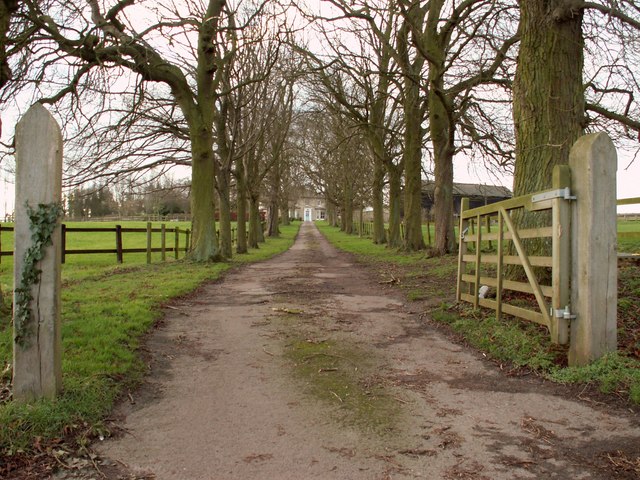
The Island, also known as simply Island, is a small village located in Suffolk, England. Situated near the town of Woodbridge, the Island is surrounded by the River Deben on three sides, giving it a unique and picturesque setting. The village is known for its quaint and charming atmosphere, with traditional cottages and narrow winding streets adding to its character.

The Island is a popular destination for tourists and visitors looking to experience rural village life in England. It offers a range of amenities including a village hall, a pub, and a church, as well as several local shops and businesses. The village also has a primary school, making it an attractive option for families looking to settle in the area.

The Island is surrounded by beautiful countryside, with opportunities for walking, cycling, and enjoying the natural scenery. The nearby River Deben provides opportunities for boating and fishing, adding to the recreational options available to residents and visitors. Overall, The Island offers a peaceful and idyllic setting for those looking to escape the hustle and bustle of city life.

If you have any feedback on the listing, please let us know in the comments section below.
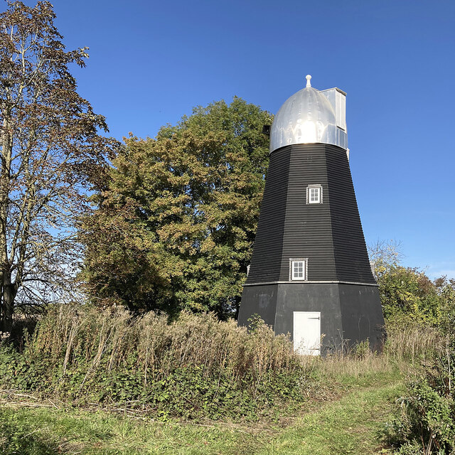
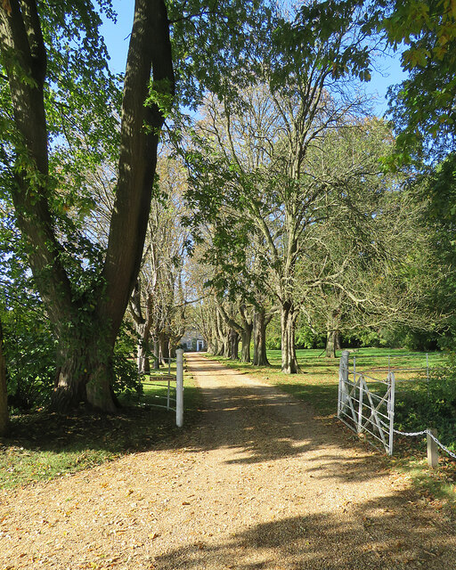
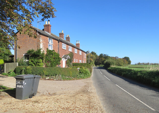
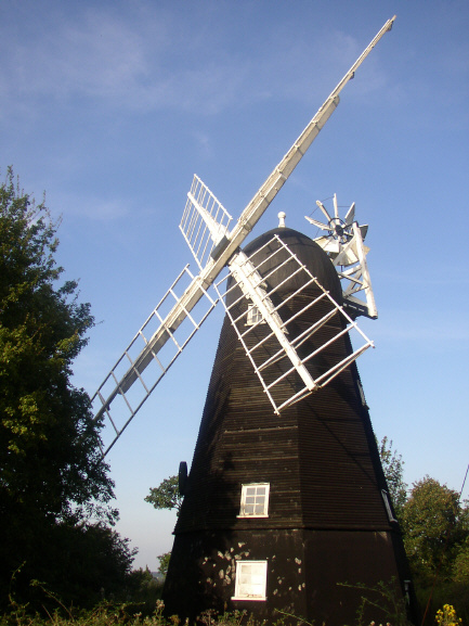
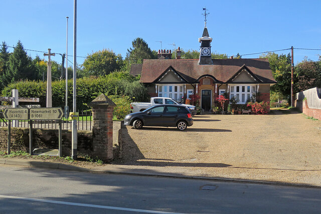
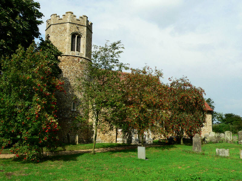
The Island Images

Images are sourced within 2km of 52.136189/0.4327525 or Grid Reference TL6651. Thanks to Geograph Open Source API. All images are credited.

Great Thurlow smock mill The mill was renovated in 2011, losing its sails and fantail and acquiring a bright metal casing to its cap. It was Grade II* listed as "a fine example" of a smock mill with sails after restoration in 1962.

By way of comparison:
<a href="https://www.geograph.org.uk/photo/49024">TL6749 : Windmill, Great Thurlow, Suffolk</a> (with sails in 2005)
<a href="https://www.geograph.org.uk/photo/2480637">TL6749 : Restoration</a> (2011)
Great Thurlow smock mill
The mill was renovated in 2011, losing its sails and fantail and acquiring a bright metal casing to its cap. It was Grade II* listed as "a fine example" of a smock mill with sails after restoration in 1962. By way of comparison: TL6749 : Windmill, Great Thurlow, Suffolk (with sails in 2005) TL6749 : Restoration (2011)
Great Thurlow: drive to The Old Vicarage Autumn sunlight on a pleasing avenue leading to a four-square country house, currently a luxury B&B. In former times the Rector must have lived in some splendour here, quite a way from the village.
Great Thurlow: drive to The Old Vicarage
Autumn sunlight on a pleasing avenue leading to a four-square country house, currently a luxury B&B. In former times the Rector must have lived in some splendour here, quite a way from the village.
Cottages at Hunts Park Farm On the road from Withersfield to Great Thurlow (ahead).
Cottages at Hunts Park Farm
On the road from Withersfield to Great Thurlow (ahead).
Windmill, Great Thurlow, Suffolk This Smock Mill (octagonal, wooden structure with sloping, weatherboarded sides) is on the road to Wethersfield above the village.
Windmill, Great Thurlow, Suffolk
This Smock Mill (octagonal, wooden structure with sloping, weatherboarded sides) is on the road to Wethersfield above the village.
The driveway to Hunts Park Farm
Nearing Temple End Plantation A short stretch of the Little Thurlow to Carlton Green road forms the county boundary: Suffolk and Temple End Plantation are to the left, Cambridgeshire to the right.
Nearing Temple End Plantation
A short stretch of the Little Thurlow to Carlton Green road forms the county boundary: Suffolk and Temple End Plantation are to the left, Cambridgeshire to the right.
A farm track on the county boundary Cambridgeshire to the left of the hedge, Suffolk to the right.
A farm track on the county boundary
Cambridgeshire to the left of the hedge, Suffolk to the right.
A single-track road on the edge of Suffolk The narrow lane from Little Thurlow in Suffolk to Carlton Green in Cambridgeshire, photographed on a lovely October morning.
A single-track road on the edge of Suffolk
The narrow lane from Little Thurlow in Suffolk to Carlton Green in Cambridgeshire, photographed on a lovely October morning.
Uphill from Temple End The road from Little Thurlow to Carlton Green and Weston Colville, over the county boundary in Cambridgeshire. The Suffolk County Council notice explains that these are wildlife verges, cut only in winter to encourage wild flowers and biodiversity.
Uphill from Temple End
The road from Little Thurlow to Carlton Green and Weston Colville, over the county boundary in Cambridgeshire. The Suffolk County Council notice explains that these are wildlife verges, cut only in winter to encourage wild flowers and biodiversity.
Barn and bend at Temple End The Dutch barn is sheltering straw bales. Keith Edkins came this way in 2018: <a href="https://www.geograph.org.uk/photo/5922417">TL6650 : Barn on Temple End Farm</a>.
Barn and bend at Temple End
The Dutch barn is sheltering straw bales. Keith Edkins came this way in 2018: TL6650 : Barn on Temple End Farm.
Temple End: Low Farm Temple End Stream, a tributary of the Stour, passes under the road here.
Temple End: Low Farm
Temple End Stream, a tributary of the Stour, passes under the road here.
Temple End: the road to Little Thurlow The shallow valley of Temple End Stream, a tributary of the Stour, photographed on a fine October morning.
Temple End: the road to Little Thurlow
The shallow valley of Temple End Stream, a tributary of the Stour, photographed on a fine October morning.
Little Thurlow: up Temple End Road A fine October morning.
Little Thurlow: up Temple End Road
A fine October morning.
Little Thurlow: 17th-century brick This fine Grade II* listed red-brick house was built in 1614 as a school by Sir Stephen Soame.
Little Thurlow: 17th-century brick
This fine Grade II* listed red-brick house was built in 1614 as a school by Sir Stephen Soame.
Little Thurlow: The Cock and The Street The Cock is a "C17 timber-framed and plastered house, refronted in the C18 and renovated in the C20" (Grade II listing). It has a new stylised sign, replacing the more traditional one shown in Robert Edwards' <a href="https://www.geograph.org.uk/photo/506396">TL6750 : The village of Little Thurlow</a> (2007). Manor Farmhouse, the 17th-century brick house on the right, is also Grade II listed.
Little Thurlow: The Cock and The Street
The Cock is a "C17 timber-framed and plastered house, refronted in the C18 and renovated in the C20" (Grade II listing). It has a new stylised sign, replacing the more traditional one shown in Robert Edwards' TL6750 : The village of Little Thurlow (2007). Manor Farmhouse, the 17th-century brick house on the right, is also Grade II listed.
Little Thurlow: plaster and thatch This is one of a number of Grade II listed 17th-century timber-framed houses in the village.
Little Thurlow: plaster and thatch
This is one of a number of Grade II listed 17th-century timber-framed houses in the village.
Little Thurlow: north along The Street Some of a good number of Grade II listed timber-framed houses in the village.
Little Thurlow: north along The Street
Some of a good number of Grade II listed timber-framed houses in the village.
Great Thurlow: The Old Reading Room and War Memorial The Reading Room is dated 1903.
Great Thurlow: The Old Reading Room and War Memorial
The Reading Room is dated 1903.
Show me another place!

The Island is located at Grid Ref: TL6651 (Lat: 52.136189, Lng: 0.4327525)

Administrative County: Suffolk

District: West Suffolk

Police Authority: Suffolk

What 3 Words

///cuddled.jokes.bids. Near Haverhill, Suffolk

Nearby Locations

The Island

Related Wikis

Little Bradley

Little Bradley is a small village and civil parish in the West Suffolk district, in the county of Suffolk, England. According to Eilert Ekwall, the meaning...

Great Bradley

Great Bradley is a village and civil parish in the West Suffolk district of Suffolk in eastern England. According to Eilert Ekwall the meaning of the village...

Great Thurlow

Great Thurlow is a village and civil parish in the West Suffolk district of Suffolk in eastern England. It is situated in the far south-west of Suffolk...

Castle Newnham School

Castle Newnham School is a coeducational all-through school located over two sites in Bedford, Bedfordshire, England.The school was formed in January 2016...

Have you been to The Island?

Leave your review of The Island below (or comments, questions and feedback).