Branston Island
Island in Lincolnshire North Kesteven
England
Branston Island

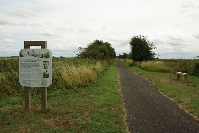
Branston Island is a small and picturesque island located in the county of Lincolnshire, England. Situated on the River Witham, it is enclosed by the river's meandering path, creating a natural and serene setting. The island covers an area of approximately 0.2 square miles (0.5 square kilometers) and is connected to the mainland by a bridge.
The island is predominantly rural, characterized by lush green fields, meadows, and farmland. Its landscape is dotted with charming cottages and farmhouses, adding to its idyllic charm. The river surrounding Branston Island provides a tranquil atmosphere, attracting wildlife and creating a haven for birdwatchers and nature enthusiasts.
The island is best known for its agricultural activities, particularly the cultivation of potatoes and vegetables. The fertile soil and favorable climate in the area make it ideal for farming, contributing to the island's economy. The local community is closely tied to agriculture, with many residents engaged in farming and related industries.
Despite its small size, Branston Island offers a sense of peacefulness and escape from the bustle of city life. Residents and visitors can enjoy leisurely walks along the riverbank, partake in fishing or boating activities, or simply bask in the natural beauty of the surroundings.
Branston Island is a hidden gem within Lincolnshire, offering a glimpse into the rural charm and agricultural heritage of the region. Its tranquil atmosphere and scenic landscapes make it an appealing destination for those seeking a peaceful retreat in the heart of England.
If you have any feedback on the listing, please let us know in the comments section below.
Branston Island Images
Images are sourced within 2km of 53.222015/-0.35448699 or Grid Reference TF0970. Thanks to Geograph Open Source API. All images are credited.


Branston Island is located at Grid Ref: TF0970 (Lat: 53.222015, Lng: -0.35448699)
Administrative County: Lincolnshire
District: North Kesteven
Police Authority: Lincolnshire
What 3 Words
///grumbling.aviation.savers. Near Bardney, Lincolnshire
Nearby Locations
Related Wikis

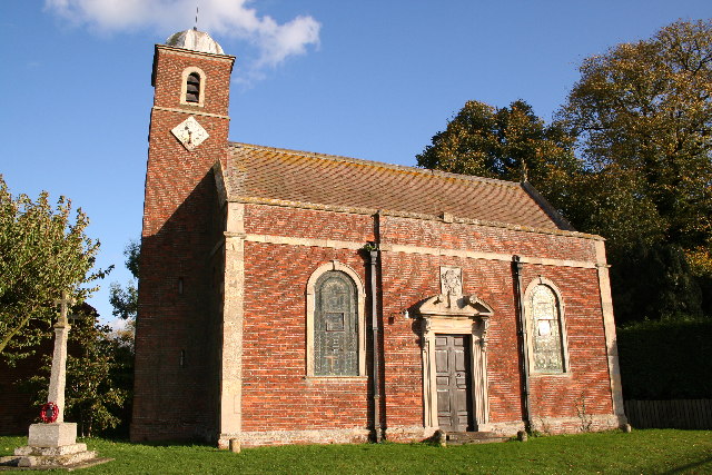
Bardney Abbey
Bardney Abbey in Lincolnshire, England, was a Benedictine monastery founded in 697 by King Æthelred of Mercia, who was to become the first abbot. The monastery...
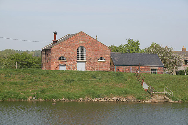
Witham Third District IDB
Witham Third District IDB is an English internal drainage board set up under the terms of the Land Drainage Act 1930. The Board inherited the responsibilities...

Snakeholme Pit
Snakeholme Pit is a nature reserve near Langworth in the county of Lincolnshire, England, managed and owned by Butterfly Conservation. It is 2 acres.Animals...

Bardney railway station
Bardney railway station was a station in Bardney, Lincolnshire. North of the station the line split in two with one branch going to Lincoln and the other...
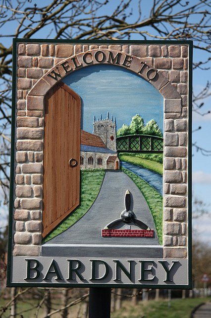
Bardney
Bardney is a village and civil parish in the West Lindsey district of Lincolnshire, England. The population of the civil parish was 1,643 at the 2001 census...
Stainfield
Stainfield is a village and civil parish about 10 miles (16 km) east of the city of Lincoln, in the West Lindsey district of Lincolnshire, England. The...

Stainfield Priory
Stainfield Priory was a Benedictine nunnery at Stainfield in the North of Lincolnshire, England, between Wragby and Fiskerton. The priory of St Mary at...
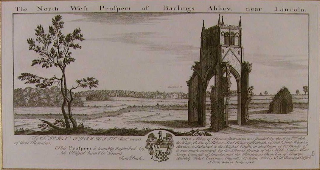
Barlings Abbey
Barlings Abbey was a one of nine Premonstratensian monasteries in the historical county of Lincolnshire, England. It was founded in 1154, as a daughter...
Nearby Amenities
Located within 500m of 53.222015,-0.35448699Have you been to Branston Island?
Leave your review of Branston Island below (or comments, questions and feedback).