Penton Hook Island

Island in Middlesex Spelthorne

England

Penton Hook Island

St Peter's Church Staines
St Peter's Church Staines Credit: JThomas

Penton Hook Island is a picturesque island located in the county of Middlesex, England. Situated in the River Thames, it is the largest inhabited island on the river and covers an area of approximately 21 acres. The island is named after the nearby settlement of Penton Hook, which is located on the opposite bank of the river.

Access to the island is primarily by boat, with a small ferry service operating from the mainland. The island is privately owned and boasts a collection of residential properties, making it a unique and sought-after place to live. The houses on Penton Hook Island vary in style, ranging from traditional cottages to modern riverside mansions.

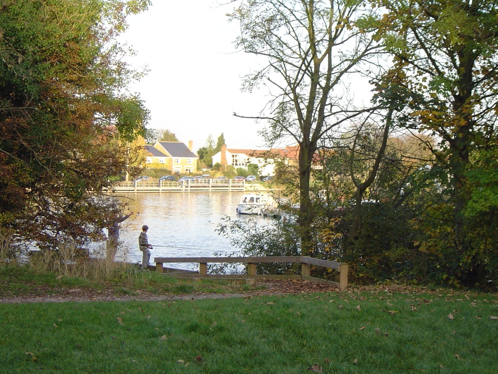
The island is renowned for its natural beauty and peaceful surroundings. Surrounded by lush greenery, it offers stunning views of the river and the surrounding countryside. Many residents and visitors enjoy leisurely walks along the riverbank and take advantage of the island's tranquil atmosphere.

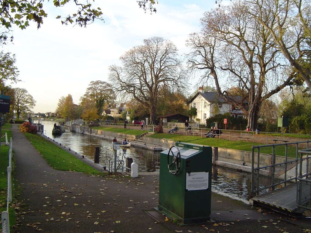
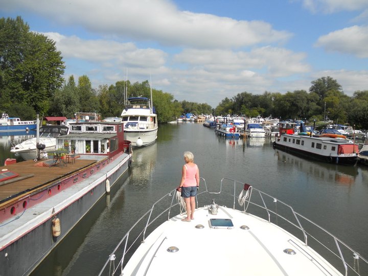
In addition to its residential properties, Penton Hook Island is also home to a marina, offering boat moorings and facilities for boating enthusiasts. The marina provides easy access to the river, allowing residents to enjoy various water activities such as sailing, fishing, and kayaking.

Overall, Penton Hook Island offers a unique living experience with its idyllic setting, charming properties, and close proximity to the River Thames. It is a haven for those seeking a peaceful retreat surrounded by natural beauty.

If you have any feedback on the listing, please let us know in the comments section below.

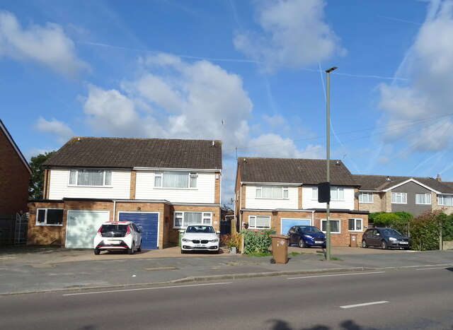
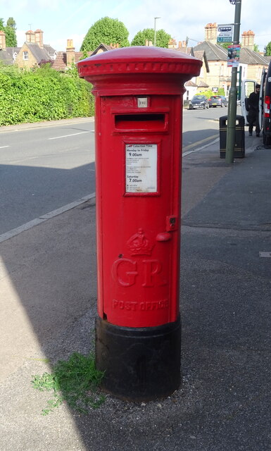
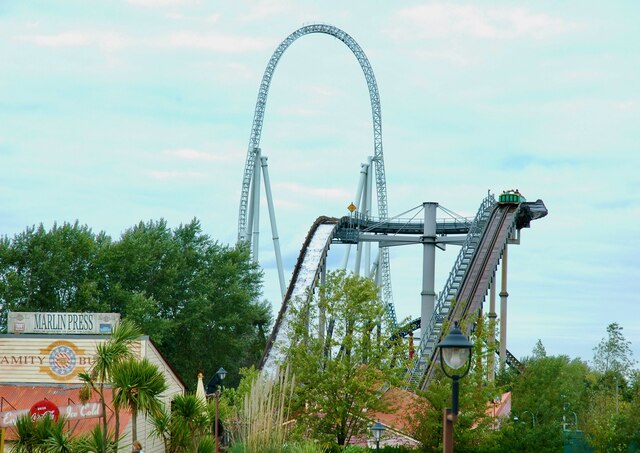
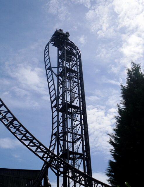
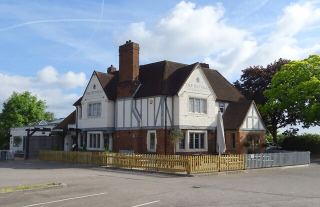
Penton Hook Island Images

Images are sourced within 2km of 51.412034/-0.50187582 or Grid Reference TQ0469. Thanks to Geograph Open Source API. All images are credited.

St Peter's Church Staines
Houses on Laleham Road, Staines
Laleham Road (B376), Staines
Houses on Laleham Road, Staines
Laleham Road (B376), Staines
George V postbox on Laleham Road, Staines-upon-Thames Postbox No. TW18 525.
George V postbox on Laleham Road, Staines-upon-Thames
Postbox No. TW18 525.
Riverside path at Staines
Spelthorne Council Offices, Staines A rather impressive building, opened in 1972 for Staines Urban District Council, which was itself abolished in the 1974 local government reorganization.
Spelthorne Council Offices, Staines
A rather impressive building, opened in 1972 for Staines Urban District Council, which was itself abolished in the 1974 local government reorganization.
Tree-lined path in Staines Park
Path in Staines Park
Allotments beside Commercial Road, Staines
Stealth and Tidal Wave, Thorpe Park The Thorpe Park Resort is operated and owned by Merlin Entertainments. It first opened as an outdoor activity park in 1979, but is now one of the major theme parks in the UK.
Stealth and Tidal Wave, Thorpe Park
The Thorpe Park Resort is operated and owned by Merlin Entertainments. It first opened as an outdoor activity park in 1979, but is now one of the major theme parks in the UK.
Stealth, Thorpe Park The Thorpe Park Resort is operated and owned by Merlin Entertainments. It first opened as an outdoor activity park in 1979, but is now one of the major theme parks in the UK.
Stealth, Thorpe Park
The Thorpe Park Resort is operated and owned by Merlin Entertainments. It first opened as an outdoor activity park in 1979, but is now one of the major theme parks in the UK.
SAW - The Ride, Thorpe Park The Thorpe Park Resort is operated and owned by Merlin Entertainments. It first opened as an outdoor activity park in 1979, but is now one of the major theme parks in the UK.
SAW - The Ride, Thorpe Park
The Thorpe Park Resort is operated and owned by Merlin Entertainments. It first opened as an outdoor activity park in 1979, but is now one of the major theme parks in the UK.
The Retreat, Staines On Staines Road.
The Retreat, Staines
On Staines Road.
Houses on Staines Road, Staines
Staines Road (B376)
Staines Road (B376)
Show me another place!

Penton Hook Island is located at Grid Ref: TQ0469 (Lat: 51.412034, Lng: -0.50187582)

Administrative County: Surrey

District: Spelthorne

Police Authority: Surrey

What 3 Words

///gold.lows.photos. Near Staines, Surrey

Nearby Locations

Penton Hook Island

Related Wikis

Penton Hook Island

Penton Hook Island is a mainly wooded former peninsula created into a series of three weir-divided islands in the River Thames in England, so created in...

Penton Hook Lock

Penton Hook Lock is the sixth lowest lock of forty four on the non-tidal reaches of the River Thames in England. It faces an island which was until its...

Penton Hook Marina

Penton Hook Marina is the largest inland marina in Britain. It is situated on the River Thames in Surrey between Staines and Chertsey on the western bank...

Staines Town F.C.

Staines Town Football Club was a football club based in Staines-upon-Thames, Surrey. Founded in 1892, it last competed in the Isthmian League, until it...

Nearby Amenities

Located within 500m of 51.412034,-0.50187582
Bus Stop
Penton Park Estate
Naptan AtcoCode: 40004401905A
Naptan Bearing: E
Naptan CommonName: Penton Park Estate
Naptan Indicator: adj
Naptan Landmark: Penton Park Estate
Naptan NaptanCode: surdagpw
Naptan Street: Mixhams Lane
Naptan Verified: no
Public Transport: platform
Source: naptan_import
Lat/Long: 51.4080483/-0.5018771
Crossing
Bicycle: yes
Crossing: unmarked
Kerb: lowered
Lat/Long: 51.4096765/-0.5078965
Turning Circle
Lat/Long: 51.4121865/-0.5088154
Leisure: slipway
Lat/Long: 51.4142857/-0.506564
Barrier: cycle_barrier
Lat/Long: 51.4143989/-0.4978224
Barrier: cycle_barrier
Lat/Long: 51.4147533/-0.4975963
Barrier: cycle_barrier
Lat/Long: 51.4163425/-0.5028736
Crossing
Bicycle: yes
Crossing: unmarked
Kerb: lowered
Lat/Long: 51.4102585/-0.5082817
Bench
Backrest: yes
Lat/Long: 51.4118427/-0.5016032
Bench
Backrest: yes
Lat/Long: 51.4141482/-0.5011165
Bench
Backrest: yes
Lat/Long: 51.411095/-0.5007694
Covered: no
Leisure: picnic_table
Lat/Long: 51.4113015/-0.503086
Bench
Backrest: no
Lat/Long: 51.4110845/-0.5028513
Covered: no
Leisure: picnic_table
Lat/Long: 51.4110684/-0.5028799
Bench
Backrest: yes
Lat/Long: 51.413517/-0.5011491
Bench
Backrest: yes
Lat/Long: 51.410936/-0.5010808
Bench
Backrest: yes
Lat/Long: 51.4139923/-0.5007414
Barrier: height_restrictor
Maxheight: 6'6"
Lat/Long: 51.4085802/-0.5012273
Fixme: Access restrictions and 10mph speed limit signs here, but survey needed to determine whether access=private or access=destination.
Lat/Long: 51.4081658/-0.5023082
The data included in this document is from www.openstreetmap.org. The data is made available under ODbL.

Have you been to Penton Hook Island?

Leave your review of Penton Hook Island below (or comments, questions and feedback).