Dick's Island
Island in Bedfordshire
England
Dick's Island

Dick's Island is a small, man-made island located in the county of Bedfordshire, England. Situated in the middle of the River Great Ouse, it is a picturesque and unique feature of the local landscape. The island covers an area of approximately 0.5 acres.
The island derives its name from Richard "Dick" Higgins, a local resident who, in the mid-19th century, took it upon himself to construct the island for unknown reasons. It is believed that Higgins built the island using natural materials found in the river, such as rocks and sand, and it is speculated that he may have intended to use it for fishing or leisure purposes.
Over the years, Dick's Island has become a popular spot for anglers and nature enthusiasts alike. Its location within the river provides a tranquil environment for fishing, with many species of fish present in the surrounding waters. The island is also home to a variety of bird species, making it a haven for birdwatchers.
Access to Dick's Island is limited to boats or canoes, as there are no bridges connecting it to the mainland. Visitors can enjoy the peacefulness of the island while surrounded by the scenic beauty of the river and its surrounding vegetation.
Overall, Dick's Island is a unique and charming feature of Bedfordshire's natural landscape, offering a serene escape for those seeking a connection with nature or a peaceful fishing experience.
If you have any feedback on the listing, please let us know in the comments section below.
Dick's Island Images
Images are sourced within 2km of 52.184261/-0.54206146 or Grid Reference SP9955. Thanks to Geograph Open Source API. All images are credited.


Dick's Island is located at Grid Ref: SP9955 (Lat: 52.184261, Lng: -0.54206146)
Unitary Authority: Bedford
Police Authority: Bedfordshire
What 3 Words
///vine.noun.audit. Near Oakley, Bedfordshire
Nearby Locations
Related Wikis

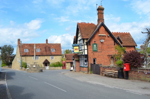
Pavenham Osier Beds
Pavenham Osier Beds is a 1.3 hectare nature reserve south of Pavenham, on the banks of the River Great Ouse, in Bedfordshire. It is managed by the Wildlife...

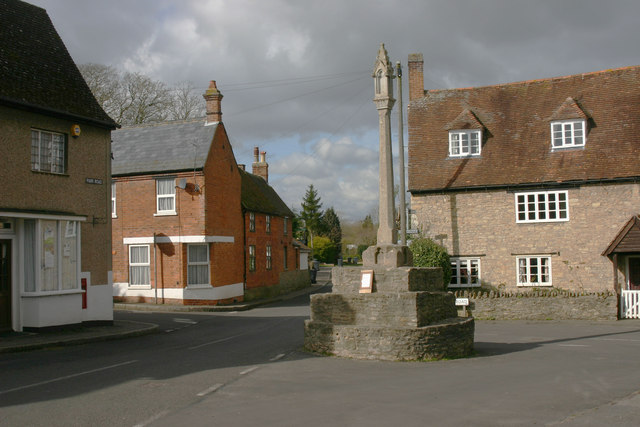
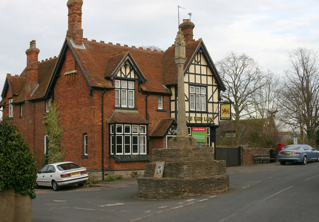
Pavenham
Pavenham is a small village and civil parish on the River Great Ouse in the Borough of Bedford in Bedfordshire, England, about 6 miles (10 km) north-west...

Pavenham Manor
Pavenham Manor was a country house in Pavenham, Bedfordshire, England. The house was demolished in 1960. == References ==

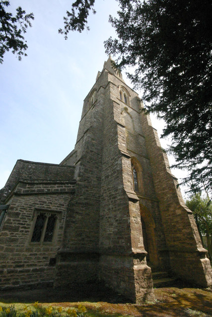
Church of St Peter, Pavenham
Church of St Peter is a Grade I listed church in Pavenham, Bedfordshire, England. It became a listed building on 13 July 1964.The church has some good...
Related Videos
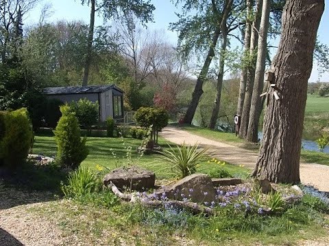
Riverside Holiday Park, rural Bedfordshire, the perfect place to relax
Riverside Holiday Park, a place to buy a perfect home from home, your own static caravan on a park with river views, nature, ...

Nordic walking Pavenham’s 7k frosty pathways in December sunshine Fresh Air Nordic Walking
Stunning frosty 7k Nordic walk in the December sunshine! Good hill work on Pavenham's pathways Nordic walking propelling ...
NHRG e-walks, e-walk 216, Stevington Circular. 16/7/21
Another quality walk from North Herts Ramblers that this walker doubled up to make a 12.4 mile outing. It was a beautiful day, with ...

The Bridge is Out - River Ouse in Flood #ouse #flood #bedfordshire
Radwell bridge flooded and closed to traffic. North Bedfordshire, UK - February 2024.
Nearby Amenities
Located within 500m of 52.184261,-0.54206146Have you been to Dick's Island?
Leave your review of Dick's Island below (or comments, questions and feedback).